



Beyond Alone · Best: Mid-May to October
Mount Rogers & Grayson Highlands
Hike across expansive grassy balds grazed by wild mountain ponies under massive, sweeping upland skies.
Virginia, USA
Where on earth
Satellite imagery flying in from a world view to Mount Rogers & Grayson Highlands, Virginia, USA. Use the + / − buttons, or click the map to zoom with your scroll wheel; drag to pan and pinch to zoom on touch.
- Region
- Virginia, USA
- Hunting
- Climbing
- Mountaineering
- Hiking
- Backpacking
- Wildlife Viewing
- Photography
- Area/Length
- 200,000+ acres (NRA)
- Elevation
- 3,000 ft to 5,729 ft
- Best window
- June for blooming rhododendron displays
- Key draws
- Wild ponies, sweeping balds, high point bagging
- Access
- Grayson Highlands State Park or Elk Garden trailhead
Topic summary
Hike across expansive grassy balds grazed by wild mountain ponies under massive, sweeping upland skies. This high-altitude recreation area contains Virginia's highest peak, largely bypassing the typical eastern green tunnel effect. The dominant features are the grassy, alpine-like balds dotted with rocky outcroppings and r
Key takeaways
- Area/Length: 200,000+ acres (NRA)
- Elevation: 3,000 ft to 5,729 ft
- Best window: June for blooming rhododendron displays
- Key draws: Wild ponies, sweeping balds, high point bagging
- Access: Grayson Highlands State Park or Elk Garden trailhead
Intended uses
- Wilderness trip planning and destination research
- Access: Grayson Highlands State Park or Elk Garden trailhead
Verification notes
Compiled from published show records, regional agencies, and topographical / satellite imagery. Region: Virginia, USA. Coordinates: 36.634, -81.545.
The country
This high-altitude recreation area contains Virginia's highest peak, largely bypassing the typical eastern green tunnel effect. The dominant features are the grassy, alpine-like balds dotted with rocky outcroppings and resilient red spruce forests. This exposed environment looks more reminiscent of the Scottish Highlands than the typical Appalachian trail corridor.
Why enthusiasts come
Backpackers flock here to traverse the high open ridgelines offering continuous, 360-degree views over multiple states. A unique and highly popular draw is the herd of wild ponies that freely wander the State Park and adjacent federal wilderness. It represents one of the easiest ways to experience true above-treeline environments in the Southeast.
Top experiences
Backpacking loops tying Mount Rogers, the Pine Mountain Trail, and the crest zone create a stunning multi-day outing. The forested summit of Mount Rogers lacks views, but the moss-draped spruce environment leading up to it is hauntingly beautiful. Interacting distantly with the wild ponies around Wilburn Ridge provides iconic photo opportunities.
Planner-relevant notes
Backcountry camping is strictly prohibited within Grayson Highlands State Park, requiring hikers to cross into the Mount Rogers National Recreation Area to set camp. Bear canister use is increasingly recommended due to habituated black bears around the prominent shelters. Parking fills rapidly on nice weekends; arrive early and pay the state park entry fee.
Field notes
- Do not feed or pet the wild ponies; they bite, kick, and human food makes them dangerously aggressive.
- The open balds provide zero protection from frequent, violent lightning storms; retreat below treeline immediately.
- Winds tear across the exposed gaps and can plunge temperatures to near freezing even in mid-summer.
- Water sources on the crest can totally dry up by late summer; camel up at reliable springs lower down.
Frequently asked about Mount Rogers & Grayson Highlands
- Where is Mount Rogers & Grayson Highlands?
- Mount Rogers & Grayson Highlands is in Virginia, USA. Hike across expansive grassy balds grazed by wild mountain ponies under massive, sweeping upland skies.
- How do you get to Mount Rogers & Grayson Highlands?
- Access: Grayson Highlands State Park or Elk Garden trailhead. Expect a multi-leg trip — flights to the nearest hub, then float plane, boat, or 4WD depending on conditions.
Build a ten for Mount Rogers & Grayson Highlands
Assemble your own 10-item Alone loadout tuned to this biome — cold, wet, and food strategy already scoped.
Open the builderShelter that suits this terrain
Browse shelter builds and site-selection guides matched to conditions like the ones here.
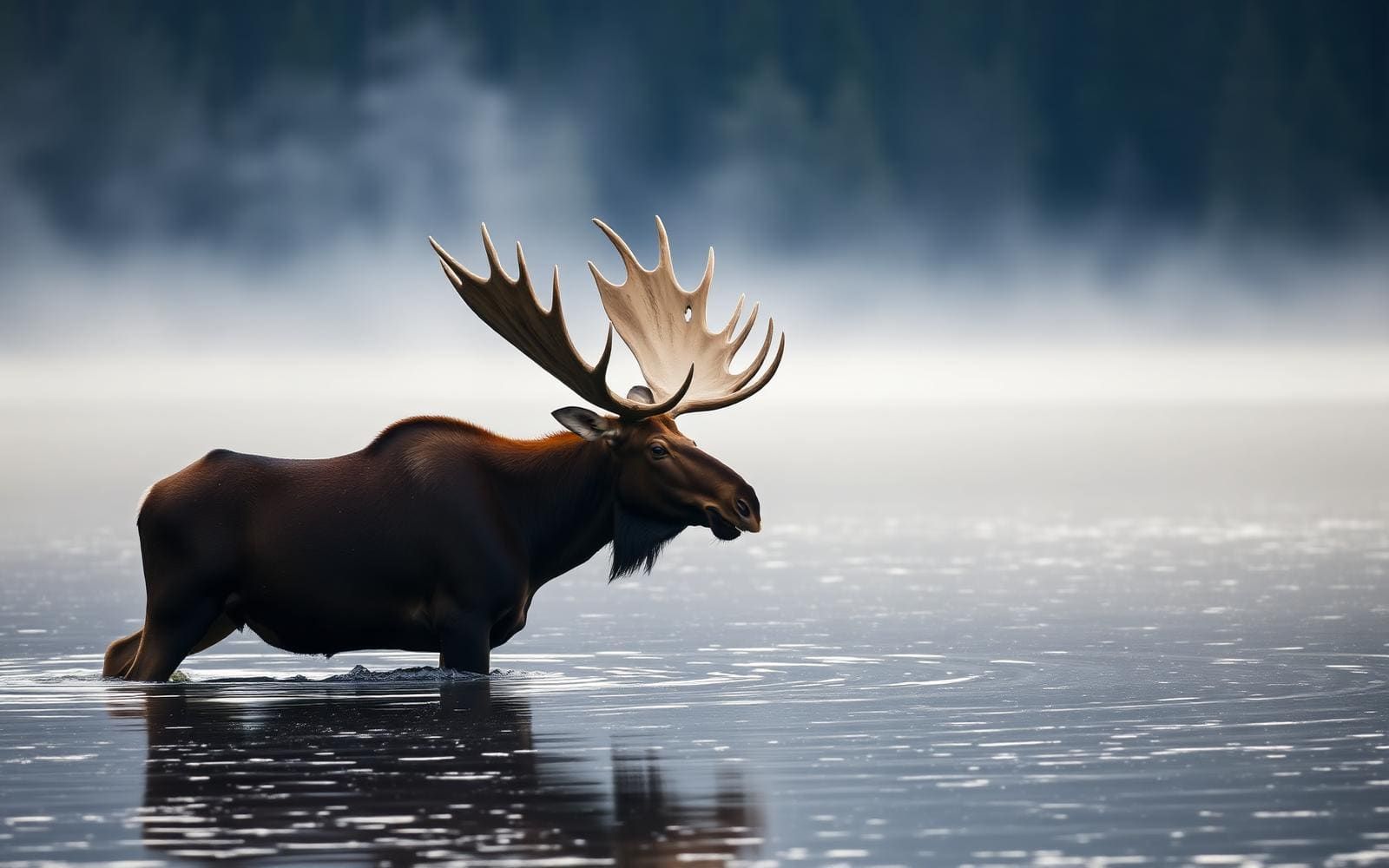
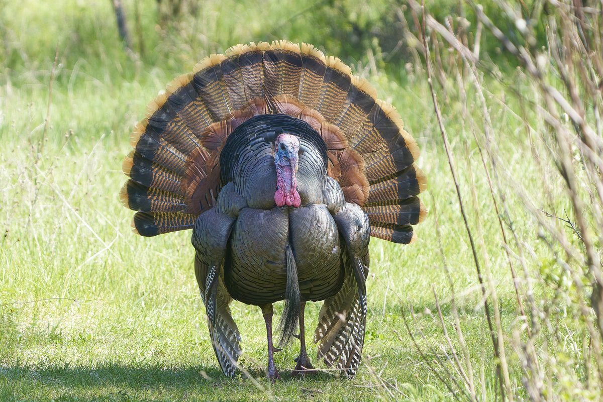
Wildlife
Wildlife found around Mount Rogers & Grayson Highlands




The gear behind what you just read
Ranked lists for the exact categories that decide a season.
- Top 10 Winter JacketsDown parkas, synthetic belay pieces, and heavy wool coats for real cold.See the ranking
- Top 10 Merino Wool Base LayersNext-to-skin wool that works in real cold, real heat, and days between washes.See the ranking
- Top 10 Three-Season Sleeping BagsDown and synthetic bags that cover the honest 20°F–40°F working range.See the ranking
- Top 10 Winter Camping LocationsCold-country trips built around snow, ice, and quiet skies.See the ranking
- Best Cold-Weather HatsWool watch caps, ushankas, and windproof beanies for real winter.See the ranking