



Beyond Alone · Best: Mid-July to Mid-September
Haute Route Pyrenees (HRP)
An unmarked high-altitude traverse hugging the border ridge of the Pyrenees, distinct from the lower tracking routes.
Occitanie/Catalonia, France/Spain
Where on earth
Satellite imagery flying in from a world view to Haute Route Pyrenees (HRP), Occitanie/Catalonia, France/Spain. Use the + / − buttons, or click the map to zoom with your scroll wheel; drag to pan and pinch to zoom on touch.
- Region
- Occitanie/Catalonia, France/Spain
- Climbing
- Desert Hiking
- Canyoneering
- Sea Kayaking
- Beachcombing
- Hiking
- Area/Length
- ~800 km traverse
- Elevation
- Sea level to 3,404m
- Best window
- August
- Key draws
- Unmarked alpine routing, remote valleys, massive elevation profile
- Access
- Hendaye (Atlantic coast) to Banyuls-sur-Mer (Mediterranean)
Topic summary
An unmarked high-altitude traverse hugging the border ridge of the Pyrenees, distinct from the lower tracking routes. The Pyrenees form a rugged natural barricade between the Iberian Peninsula and the rest of Europe. The high route zigzags continuously across the continental divide, transitioning from lush French pastoral valleys to ari
Key takeaways
- Area/Length: ~800 km traverse
- Elevation: Sea level to 3,404m
- Best window: August
- Key draws: Unmarked alpine routing, remote valleys, massive elevation profile
- Access: Hendaye (Atlantic coast) to Banyuls-sur-Mer (Mediterranean)
Intended uses
- Wilderness trip planning and destination research
- Access: Hendaye (Atlantic coast) to Banyuls-sur-Mer (Mediterranean)
Verification notes
Compiled from published show records, regional agencies, and topographical / satellite imagery. Region: Occitanie/Catalonia, France/Spain. Coordinates: 42.750, 0.050.
The country
The Pyrenees form a rugged natural barricade between the Iberian Peninsula and the rest of Europe. The high route zigzags continuously across the continental divide, transitioning from lush French pastoral valleys to arid Spanish badlands. The geology ranges from sharp limestone karsts in the west to massive granite blocks in the central Maladeta massif.
Why enthusiasts come
Unlike the well-marked GR10 or GR11, the HRP (Haute Route Pyrénéenne) is not a trail but a conceptual route for experienced mountaineers and thru-hikers. It stays as close to the watershed ridge as possible, demanding off-trail navigation, steep scree scrambling, and snowfield traverses. It is revered as Europe's most challenging and untamed long-distance trek.
Top experiences
Crossing the imposing Vignemale massif immerses trekkers in serious alpine terrain and fragmented glaciers. The traverse through the Cirque de Gavarnie offers dizzying views of towering limestone amphitheaters and massive waterfalls. Bagging Pic Carlit in the eastern Pyrenees challenges hikers with prolonged boulder hopping and route-finding among a maze of small lakes.
Planner-relevant notes
Thru-hiking the entire HRP takes roughly 45 days and requires a solid understanding of alpine hazards, including summer ice. Bivouacking is permitted in most of the national parks along the route, provided tents are pitched at dusk and dismantled at dawn. Logistics require careful planning, as towns are infrequent and dropping down into valleys for food adds massive vertical gain.
Field notes
- Carry an ice axe and lightweight crampons well into August; north-facing cols hold steep, hard snow very late in the season.
- Expect severe afternoon heat on the Spanish side and sudden, violent electrical storms localized over the high ridges.
- Bounce-boxing resupplies is notoriously difficult due to crossing borders; rely on village epiceries and sending packages to specific mountain refuges.
- Using the Cicerone HRP guide by Joosten is considered the gold standard, but GPS tracks on your phone are vital for the many trackless boulder fields.
Frequently asked about Haute Route Pyrenees (HRP)
- Where is Haute Route Pyrenees (HRP)?
- Haute Route Pyrenees (HRP) is in Occitanie/Catalonia, France/Spain. An unmarked high-altitude traverse hugging the border ridge of the Pyrenees, distinct from the lower tracking routes.
- How do you get to Haute Route Pyrenees (HRP)?
- Access: Hendaye (Atlantic coast) to Banyuls-sur-Mer (Mediterranean). Expect a multi-leg trip — flights to the nearest hub, then float plane, boat, or 4WD depending on conditions.
Build a ten for Haute Route Pyrenees (HRP)
Assemble your own 10-item Alone loadout tuned to this biome — cold, wet, and food strategy already scoped.
Open the builderShelter that suits this terrain
Browse shelter builds and site-selection guides matched to conditions like the ones here.
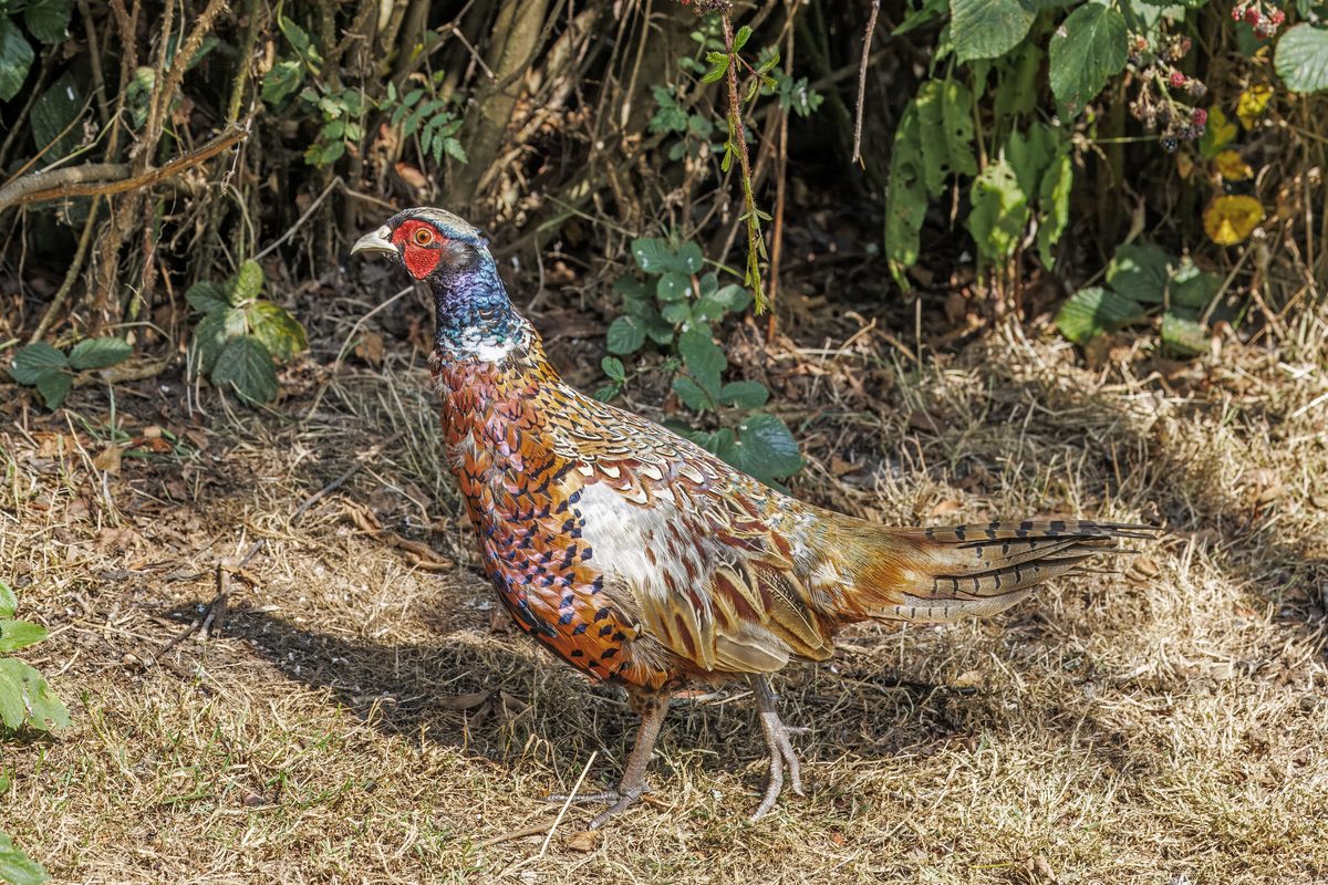
Wildlife
Wildlife found around Haute Route Pyrenees (HRP)

The gear behind what you just read
Ranked lists for the exact categories that decide a season.
- Top 10 Winter JacketsDown parkas, synthetic belay pieces, and heavy wool coats for real cold.See the ranking
- Top 10 Merino Wool Base LayersNext-to-skin wool that works in real cold, real heat, and days between washes.See the ranking
- Top 10 Three-Season Sleeping BagsDown and synthetic bags that cover the honest 20°F–40°F working range.See the ranking
- Top 10 Winter Camping LocationsCold-country trips built around snow, ice, and quiet skies.See the ranking
- Best Cold-Weather HatsWool watch caps, ushankas, and windproof beanies for real winter.See the ranking