



Beyond Alone · Best: May-September
Knoydart Peninsula
Known as Britain's last wilderness, offering trackless bogs, remote Munros, and access only by foot or boat.
Scottish Highlands, United Kingdom
Where on earth
Satellite imagery flying in from a world view to Knoydart Peninsula, Scottish Highlands, United Kingdom. Use the + / − buttons, or click the map to zoom with your scroll wheel; drag to pan and pinch to zoom on touch.
- Region
- Scottish Highlands, United Kingdom
- Hiking
- Backpacking
- Canoeing
- Fishing
- Area/Length
- 344 sq km
- Elevation
- Sea level to 1,040m (Ladhar Bheinn)
- Best window
- May (pre-midge) to September
- Key draws
- Off-trail navigation, Munro bagging, ultimate isolation
- Access
- Ferry from Mallaig or 2-day hike from Glenfinnan
Topic summary
Known as Britain's last wilderness, offering trackless bogs, remote Munros, and access only by foot or boat. Knoydart is heavily glaciated, rugged terrain defined by deeply slashed sea lochs and towering, steep-sided mountains. The landscape is a mix of wet heath, thick tussock grass, and exposed rocky ridges dominating the sky
Key takeaways
- Area/Length: 344 sq km
- Elevation: Sea level to 1,040m (Ladhar Bheinn)
- Best window: May (pre-midge) to September
- Key draws: Off-trail navigation, Munro bagging, ultimate isolation
- Access: Ferry from Mallaig or 2-day hike from Glenfinnan
Intended uses
- Wilderness trip planning and destination research
- Access: Ferry from Mallaig or 2-day hike from Glenfinnan
Verification notes
Compiled from published show records, regional agencies, and topographical / satellite imagery. Region: Scottish Highlands, United Kingdom. Coordinates: 57.030, -5.680.
The country
Knoydart is heavily glaciated, rugged terrain defined by deeply slashed sea lochs and towering, steep-sided mountains. The landscape is a mix of wet heath, thick tussock grass, and exposed rocky ridges dominating the skyline. It is completely disconnected from the UK road network, creating a uniquely secluded maritime highland environment.
Why enthusiasts come
Backpackers accept the brutal, pathless terrain seeking true isolation and self-reliance in the Scottish 'Rough Bounds'. The challenge of navigating via map and compass through heavy mist and endless peat bogs filters out casual walkers. Reaching the remote village of Inverie after days of cross-country trekking is an iconic UK outdoor achievement.
Top experiences
Hiking in from Glenfinnan via the stunningly desolate Glen Pean or Glen Dessarry tests route-finding against unpredictable rivers. Summiting Ladhar Bheinn, the peninsula's highest Munro, rewards climbers with plunging views straight down into Loch Hourn. Celebrating the traverse with a pint at the Old Forge in Inverie, mainland Britain's most remote pub, is obligatory.
Planner-relevant notes
There are virtually no marked trails once you leave the main glens; strong micro-navigation skills are an absolute necessity. River crossings can swell rapidly after rainfall, transforming mild burns into impassable torrents within hours. Deer stalking season runs from late summer into autumn, requiring coordination with the Knoydart Foundation to avoid interrupting estates.
Field notes
- Carry trekking poles primarily to probe the depth of peat bogs before committing your weight to a step.
- The Highland midge is an astonishing nuisance from June to August; Smidge repellent and a bug net are mandatory survival gear.
- Resupply is nonexistent on the peninsula until you reach Inverie, where options are limited to pub meals and a small community shop.
- Always use the 'Hillphones' or online stalking services to check which ridges are closed for the deer cull in autumn.
Frequently asked about Knoydart Peninsula
- Where is Knoydart Peninsula?
- Knoydart Peninsula is in Scottish Highlands, United Kingdom. Known as Britain's last wilderness, offering trackless bogs, remote Munros, and access only by foot or boat.
- How do you get to Knoydart Peninsula?
- Access: Ferry from Mallaig or 2-day hike from Glenfinnan. Expect a multi-leg trip — flights to the nearest hub, then float plane, boat, or 4WD depending on conditions.
Build a ten for Knoydart Peninsula
Assemble your own 10-item Alone loadout tuned to this biome — cold, wet, and food strategy already scoped.
Open the builderShelter that suits this terrain
Browse shelter builds and site-selection guides matched to conditions like the ones here.
Wildlife
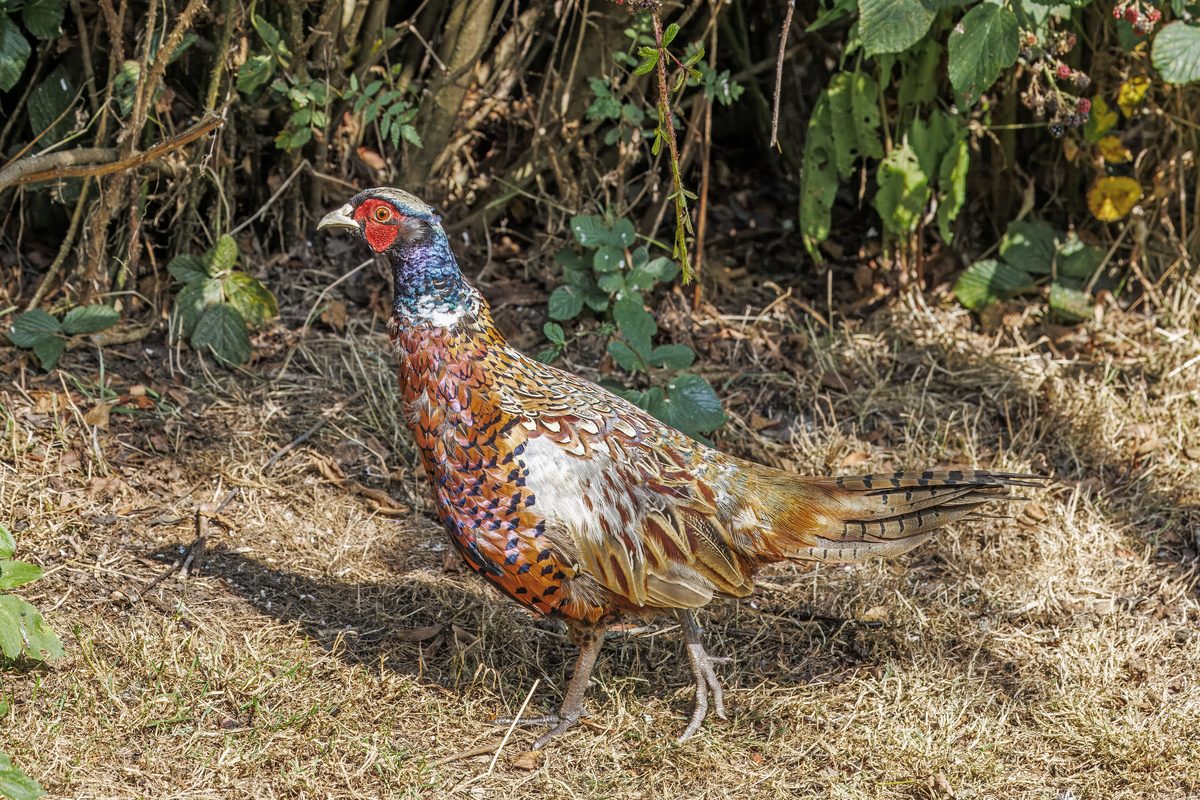
Wildlife found around Knoydart Peninsula
The gear behind what you just read
Ranked lists for the exact categories that decide a season.
- Top 10 Winter JacketsDown parkas, synthetic belay pieces, and heavy wool coats for real cold.See the ranking
- Top 10 Merino Wool Base LayersNext-to-skin wool that works in real cold, real heat, and days between washes.See the ranking
- Top 10 Three-Season Sleeping BagsDown and synthetic bags that cover the honest 20°F–40°F working range.See the ranking
- Top 10 Winter Camping LocationsCold-country trips built around snow, ice, and quiet skies.See the ranking
- Best Cold-Weather HatsWool watch caps, ushankas, and windproof beanies for real winter.See the ranking