


Beyond Alone · Best: Apr-May, Sep-Oct
Linville Gorge Wilderness
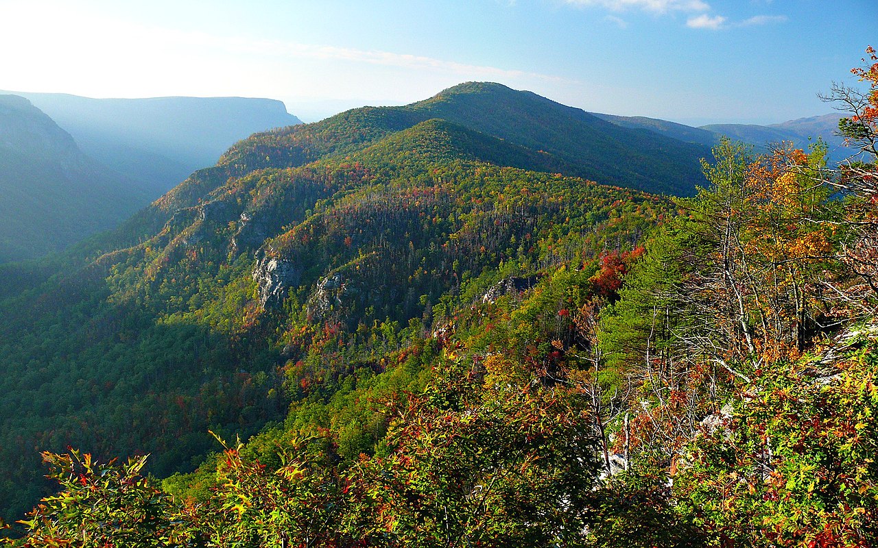
Nicknamed the Grand Canyon of the East, this deep, brutal river gorge requires steep scrambles, difficult navigation, and expert traditional climbing.
North Carolina, USA
Where on earth
Satellite imagery flying in from a world view to Linville Gorge Wilderness, North Carolina, USA. Use the + / − buttons, or click the map to zoom with your scroll wheel; drag to pan and pinch to zoom on touch.
- Region
- North Carolina, USA
- Climbing
- Desert Hiking
- Canyoneering
- Hiking
- Backpacking
- Canoeing
- Fishing
- Area/Length
- 11,786 acres
- Elevation
- 1,300 ft to 4,120 ft
- Best window
- April-May, Sept-Oct
- Key draws
- Trad climbing, intense hiking
- Access
- Pisgah NF dirt roads
Topic summary
Nicknamed the Grand Canyon of the East, this deep, brutal river gorge requires steep scrambles, difficult navigation, and expert traditional climbing. Often dubbed the Grand Canyon of the East, this deep, brutal trench is carved by the Linville River through towering quartzite cliffs. The gorge plunges over 2,000 feet from the ridge tops, cloaked in dense, virgin fores
Key takeaways
- Area/Length: 11,786 acres
- Elevation: 1,300 ft to 4,120 ft
- Best window: April-May, Sept-Oct
- Key draws: Trad climbing, intense hiking
- Access: Pisgah NF dirt roads
Intended uses
- Wilderness trip planning and destination research
- Access: Pisgah NF dirt roads
Verification notes
Compiled from published show records, regional agencies, and topographical / satellite imagery. Region: North Carolina, USA. Coordinates: 35.894, -81.917.
The country
Often dubbed the Grand Canyon of the East, this deep, brutal trench is carved by the Linville River through towering quartzite cliffs. The gorge plunges over 2,000 feet from the ridge tops, cloaked in dense, virgin forests of hemlock and pine.
Why enthusiasts come
Traditional rock climbers revere the massive, multi-pitch vertical walls of Table Rock and Hawksbill. Hardcore backpackers thrive on the notoriously unmaintained, near-vertical trails that demand intense scrambling and route-finding abilities.
Top experiences
Executing a multi-pitch trad climbing route on the main Amphitheater tests technical prowess on remote, committing stone. Fording the swift Linville River completely bypasses the trail network, dropping hikers into an isolated, rugged riverside wilderness.
Planner-relevant notes
Permits are required on weekends and holidays from May through October and frequently sell out instantly. GPS tracks are virtually indispensable because trail signs are absent and junctions are incredibly deep in rhododendron tunnels. Rescue operations in the gorge floor are notoriously slow and difficult, making self-sufficiency mandatory.
Field notes
- Topographical lines are intensely compressed here; a mile on the map takes hours.
- The river crossing relies strictly on water levels; do not force it if flooded.
- Copperheads frequently sun themselves on the rock ledges near the water.
- Trailhead break-ins occur periodically; leave nothing visible inside your parked vehicle.
Frequently asked about Linville Gorge Wilderness
- Where is Linville Gorge Wilderness?
- Linville Gorge Wilderness is in North Carolina, USA. Nicknamed the Grand Canyon of the East, this deep, brutal river gorge requires steep scrambles, difficult navigation, and expert traditional climbing.
- How do you get to Linville Gorge Wilderness?
- Access: Pisgah NF dirt roads. Expect a multi-leg trip — flights to the nearest hub, then float plane, boat, or 4WD depending on conditions.
Build a ten for Linville Gorge Wilderness
Assemble your own 10-item Alone loadout tuned to this biome — cold, wet, and food strategy already scoped.
Open the builderShelter that suits this terrain
Browse shelter builds and site-selection guides matched to conditions like the ones here.
Wildlife
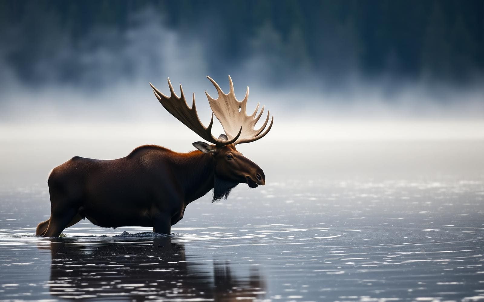
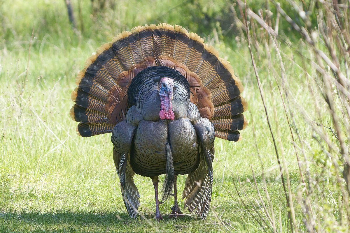
Wildlife found around Linville Gorge Wilderness




The gear behind what you just read
Ranked lists for the exact categories that decide a season.
- Top 10 Winter JacketsDown parkas, synthetic belay pieces, and heavy wool coats for real cold.See the ranking
- Top 10 Merino Wool Base LayersNext-to-skin wool that works in real cold, real heat, and days between washes.See the ranking
- Top 10 Three-Season Sleeping BagsDown and synthetic bags that cover the honest 20°F–40°F working range.See the ranking
- Top 10 Winter Camping LocationsCold-country trips built around snow, ice, and quiet skies.See the ranking
- Best Cold-Weather HatsWool watch caps, ushankas, and windproof beanies for real winter.See the ranking