



Beyond Alone · Best: mid Jun – Sep
The Long Trail
America's oldest long-distance trail — 273 miles of Green Mountain spine from Massachusetts to Canada.
Vermont, USA
Where on earth
Satellite imagery flying in from a world view to The Long Trail, Vermont, USA. Use the + / − buttons, or click the map to zoom with your scroll wheel; drag to pan and pinch to zoom on touch.
- Region
- Vermont, USA
- Climbing
- Mountaineering
- Hiking
- Backpacking
- Length
- 273 miles (LT) / 165 mi if AT-shared removed
- Elevation
- 90 – 4,393 ft (Mt. Mansfield)
- Best window
- Mid Jun – late Sep; foliage Sep – early Oct
- Key draws
- Camel's Hump, Mt. Mansfield, Jay Peak
- Shelters
- 70+ GMC lean-tos and tent platforms
Topic summary
America's oldest long-distance trail — 273 miles of Green Mountain spine from Massachusetts to Canada. The Long Trail follows the spine of the Green Mountains for 273 miles. It is the country's original long trail — the Green Mountain Club began cutting it in 1910, more than a decade before the Appalachian Trail existed.
Key takeaways
- Length: 273 miles (LT) / 165 mi if AT-shared removed
- Elevation: 90 – 4,393 ft (Mt. Mansfield)
- Best window: Mid Jun – late Sep; foliage Sep – early Oct
- Key draws: Camel's Hump, Mt. Mansfield, Jay Peak
- Shelters: 70+ GMC lean-tos and tent platforms
Intended uses
Wilderness trip planning and destination research
Verification notes
Compiled from published show records, regional agencies, and topographical / satellite imagery. Region: Vermont, USA. Coordinates: 43.900, -72.850.
The country
The Long Trail follows the spine of the Green Mountains for 273 miles. It is the country's original long trail — the Green Mountain Club began cutting it in 1910, more than a decade before the Appalachian Trail existed. The southern third overlaps with the AT; the northern miles run rougher, wetter, and lonelier, ending at the Canadian border in a spruce-fir tunnel.
Why enthusiasts come
You get a real long trail without western-scale logistics. Water is everywhere, resupply towns are 3–5 days apart, and the shelter system means you can travel light. Mud and roots are the crux, not altitude.
Top experiences
Camel's Hump summit above tree line, the Presidential-style traverse over Mt. Mansfield's ridge, the granite ledges of Mt. Abraham, and the classic Jay Peak final push. Weekend backpackers usually pick the Mansfield-to-Smugglers or Killington-to-Sherburne segments.
Planner-relevant notes
Northern LT is famous for hip-deep mud in June — plan for it or wait until July. Shelters are first-come; carry a tarp for backup. The Green Mountain Club sells the essential Long Trail Guide and end-to-ender packet with permit and shelter info.
Field notes
- Black flies peak late May–mid Jun; head net + DEET are not optional.
- Above tree line is fragile alpine tundra — stay on rock, never soil.
- Water is plentiful but tannic; a squeeze filter beats a pump on this trail.
- Snow can hit Mansfield by early Oct; check the GMC weather thread before shoulder trips.
Frequently asked about The Long Trail
- Where is The Long Trail?
- The Long Trail is in Vermont, USA. America's oldest long-distance trail — 273 miles of Green Mountain spine from Massachusetts to Canada.
Build a ten for The Long Trail
Assemble your own 10-item Alone loadout tuned to this biome — cold, wet, and food strategy already scoped.
Open the builderShelter that suits this terrain
Browse shelter builds and site-selection guides matched to conditions like the ones here.
Wildlife
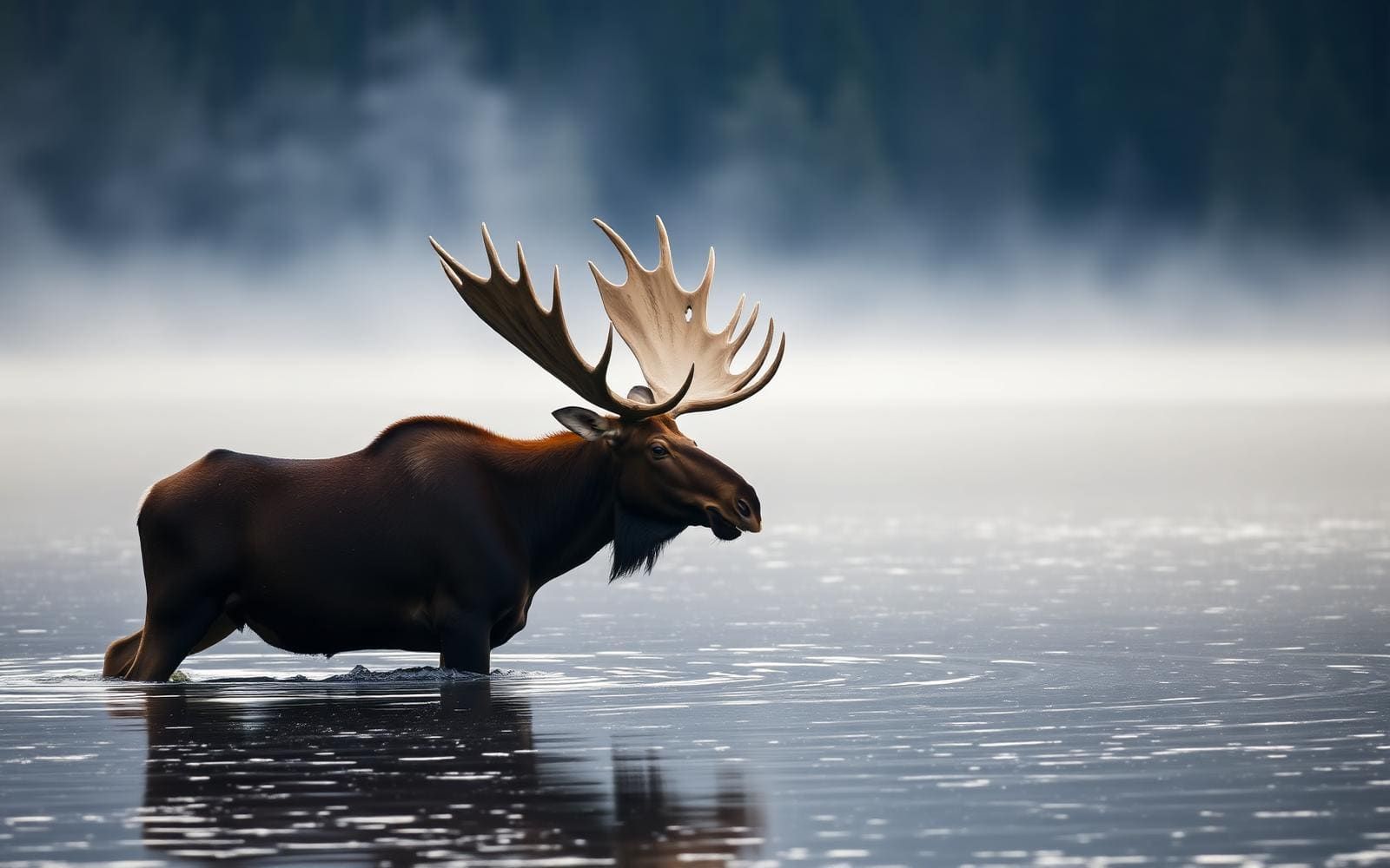
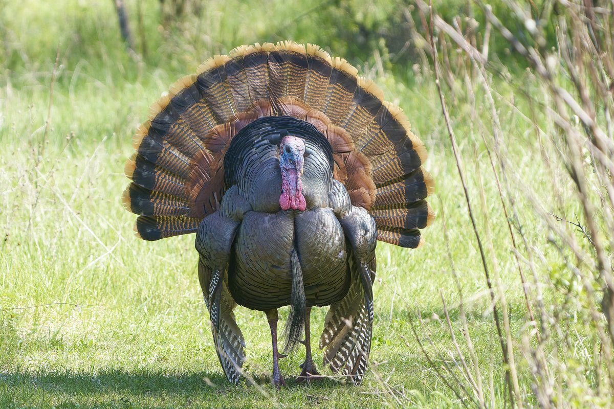
Wildlife found around The Long Trail




The gear behind what you just read
Ranked lists for the exact categories that decide a season.
- Top 10 Winter JacketsDown parkas, synthetic belay pieces, and heavy wool coats for real cold.See the ranking
- Top 10 Merino Wool Base LayersNext-to-skin wool that works in real cold, real heat, and days between washes.See the ranking
- Top 10 Three-Season Sleeping BagsDown and synthetic bags that cover the honest 20°F–40°F working range.See the ranking
- Top 10 Winter Camping LocationsCold-country trips built around snow, ice, and quiet skies.See the ranking
- Best Cold-Weather HatsWool watch caps, ushankas, and windproof beanies for real winter.See the ranking