



Beyond Alone · Best: May-Oct
Mount Rogers & Grayson Highlands
Wild ponies roam across sweeping, high-altitude alpine balds that offer panoramic views towering above dense spruce-fir forests.
Virginia, USA
Where on earth
Satellite imagery flying in from a world view to Mount Rogers & Grayson Highlands, Virginia, USA. Use the + / − buttons, or click the map to zoom with your scroll wheel; drag to pan and pinch to zoom on touch.
- Region
- Virginia, USA
- Climbing
- Mountaineering
- Hiking
- Backpacking
- Wildlife Viewing
- Photography
- Area/Length
- ~40 trail miles
- Elevation
- 3,000 ft to 5,729 ft
- Best window
- May to October
- Key draws
- Alpine balds, wild ponies
- Access
- Grayson Highlands State Park
Topic summary
Wild ponies roam across sweeping, high-altitude alpine balds that offer panoramic views towering above dense spruce-fir forests. The highest peak in Virginia is surrounded by expansive, high-altitude alpine balds that sweep across the Grayson Highlands. Dense islands of spruce-fir forest abruptly give way to windswept, grassy meadows heavily graze
Key takeaways
- Area/Length: ~40 trail miles
- Elevation: 3,000 ft to 5,729 ft
- Best window: May to October
- Key draws: Alpine balds, wild ponies
- Access: Grayson Highlands State Park
Intended uses
- Wilderness trip planning and destination research
- Access: Grayson Highlands State Park
Verification notes
Compiled from published show records, regional agencies, and topographical / satellite imagery. Region: Virginia, USA. Coordinates: 36.658, -81.546.
The country
The highest peak in Virginia is surrounded by expansive, high-altitude alpine balds that sweep across the Grayson Highlands. Dense islands of spruce-fir forest abruptly give way to windswept, grassy meadows heavily grazed by wild ponies.
Why enthusiasts come
Hikers are captivated by the surreal contrast of dense Appalachian spruce mingling with vast, Scottish-like highland scenery. The terrain offers easily accessible, highly scenic miles on the Appalachian Trail, making it incredibly popular for sectional backpacks.
Top experiences
Scrambling over the ancient volcanic rocks of Wilburn Ridge grants endless views of the seemingly rolling blue mountains below. Setting up camp amidst the open balds guarantees encounters with the feral pony herds that wander the highlands.
Planner-relevant notes
No permits are required, but designated camping zones and bear canister regulations are strictly enforced in certain corridors. Weather systems stall over the highlands, generating vicious winds and sudden snowstorms even in the spring. Do not feed or attempt to pet the wild ponies, as they can bite and aggressively raid food caches.
Field notes
- Water is sparse on the high plateau; fill up heavily at specific trail springs.
- Use heavy-duty guy lines; unimpeded highland winds regularly flatten lightweight tents.
- State park lots require overnight fees, while adjacent national forest lots are free.
- Bear boxes at AT shelters fill quickly; must bring your own canister.
Frequently asked about Mount Rogers & Grayson Highlands
- Where is Mount Rogers & Grayson Highlands?
- Mount Rogers & Grayson Highlands is in Virginia, USA. Wild ponies roam across sweeping, high-altitude alpine balds that offer panoramic views towering above dense spruce-fir forests.
- How do you get to Mount Rogers & Grayson Highlands?
- Access: Grayson Highlands State Park. Expect a multi-leg trip — flights to the nearest hub, then float plane, boat, or 4WD depending on conditions.
Build a ten for Mount Rogers & Grayson Highlands
Assemble your own 10-item Alone loadout tuned to this biome — cold, wet, and food strategy already scoped.
Open the builderShelter that suits this terrain
Browse shelter builds and site-selection guides matched to conditions like the ones here.
Wildlife
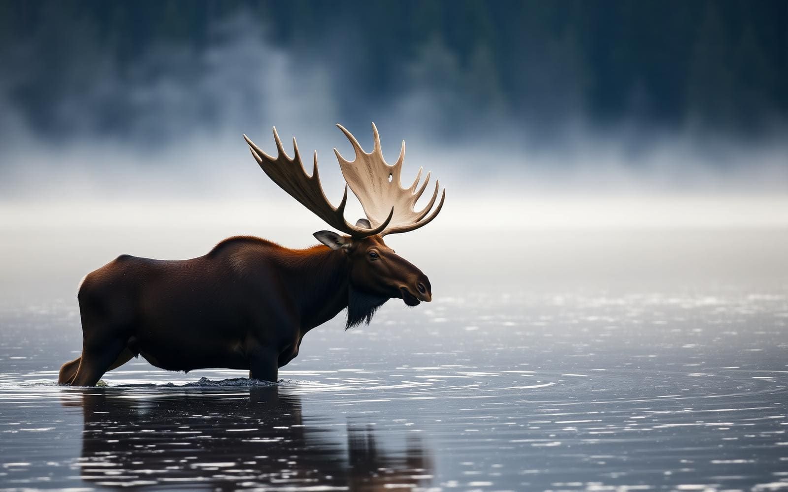
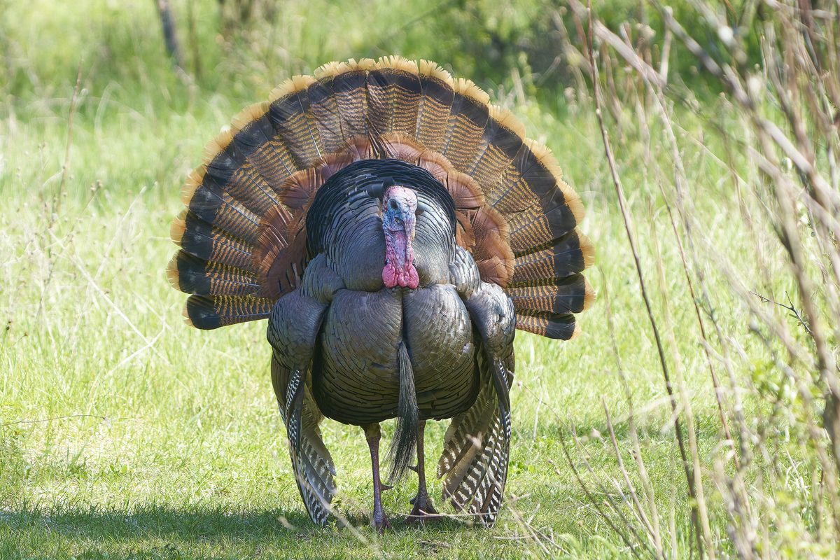
Wildlife found around Mount Rogers & Grayson Highlands




The gear behind what you just read
Ranked lists for the exact categories that decide a season.
- Top 10 Winter JacketsDown parkas, synthetic belay pieces, and heavy wool coats for real cold.See the ranking
- Top 10 Merino Wool Base LayersNext-to-skin wool that works in real cold, real heat, and days between washes.See the ranking
- Top 10 Three-Season Sleeping BagsDown and synthetic bags that cover the honest 20°F–40°F working range.See the ranking
- Top 10 Winter Camping LocationsCold-country trips built around snow, ice, and quiet skies.See the ranking
- Best Cold-Weather HatsWool watch caps, ushankas, and windproof beanies for real winter.See the ranking