


Reader rating
Rate it and you move it. Community ratings re-rank this product inside its Top 10 list.
Expert-picked, reader-ranked. Our editors choose the products and the launch order; member star ratings move picks up or down over time.
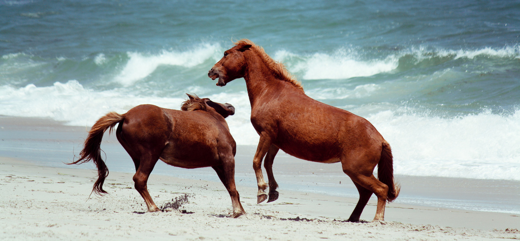
Wild ponies on the beach before summer crowds and bugs.
Pros
- Virtually bug-free conditions compared to the brutal summer months
- Uncrowded beaches and easy permits for primitive backcountry sites
- Active spring bird migration along the Atlantic Flyway
- Cool, mild temperatures ideal for loaded sand trekking and paddling
Cons
- Atlantic water temperatures are far too cold for swimming
- High coastal winds demand specialized sand stakes and bombproof tents
- All fresh water must be hauled into primitive sites
Best uses
- Shoulder-season beach backpacking
- Coastal sea kayak touring
- Shorebird and equine photography
- Off-season solitude seeking
Specifications
- Managing Agency
- National Park Service and USFWS
- Location
- Maryland and Virginia Atlantic Coast
- April Highs
- 58°F to 64°F
- April Lows
- 42°F to 48°F
- Terrain
- Barrier island, coastal dunes, salt marsh
- Camp Permits
- Recreation.gov reservation required
Best for
Shoulder-season beach backpacking, Coastal sea kayak touring, Shorebird and equine photography, Off-season solitude seeking
Assateague Island is a dynamic 37-mile barrier spit straddling the Maryland-Virginia line, shaped entirely by Atlantic surf, ocean winds, and tidal currents. Most visitors know it for its feral horses and packed summer beaches, but peak season is notorious for relentless heat and ferocious swarms of greenhead flies and mosquitoes. April rewrites that experience completely, offering wide-open coastal solitude before the tourist corridors open in earnest. Visiting in mid-spring reveals the island at its rawest and most hospitable. Day temperatures hover in the low 60s, keeping insects dormant while making long beach hikes and coastal marsh paddles genuinely comfortable. Bands of horses forage peacefully in the dunes and cordgrass meadows without crowds encroaching, and migratory shorebirds carpet the mudflats. It is a brief, golden window where the Atlantic coast feels untamed rather than commercialized.
Dynamic Coastal Terrain
The island consists of shifting sand dunes, maritime forest pockets, and expansive salt marshes buffering Sinepuxent and Chincoteague bays. The ocean side faces relentless Atlantic swell, carving wide, clean sand flats that change with every passing storm. Moving inland, the elevation rises slightly into low shrub thickets of bayberry and wax myrtle before flattening into vast tidal marshes rich in spartina grass. Walking here demands varied footwork, alternating between hard-packed wet sand at the tide line and energy-sapping loose dunes further inland. Because the island is unpaved south of the state park and north of the Virginia hook, travel is dictated purely by foot, paddle, or specialized four-wheel-drive vehicles with aired-down tires. The stark geography offers no shelter from open ocean weather, making terrain awareness essential.
The April Weather Window
April hits the climatic sweet spot for the mid-Atlantic coast. Daytime highs typically settle into the upper 50s and low 60s, while nighttime lows rarely drop below the low 40s. The major advantage, however, is biological: the island's legendary biting insects, which make summer backcountry camping unbearable without specialized bug shelters, remain largely dormant until consistent May warmth arrives. You still need to respect coastal conditions. Spring air off a fifty-degree Atlantic Ocean carries an aggressive chill, and sustained onshore winds can test any tent setup. Nor'easters can roll in quickly, dumping rain and blowing fine sand through standard mesh tents. If you bring proper wind layers and prepare for damp maritime air, April delivers the crispest, most enjoyable trekking weather of the year.
Wildlife Encounters and Protocols
The feral horses are the undeniable focal point, roaming in two distinct herds separated by the state fence. In April, the animals are shedding their shaggy winter coats and grazing aggressively on new green shoots across the dunes. National Park Service regulations mandate maintaining at least a forty-foot buffer from all horses, a rule strictly enforced with federal fines. These are wild animals that will bite, kick, and charge if cornered or if food is left unsecured. Beyond the equines, April is premier territory for birders. The island serves as a vital stopover on the Atlantic Flyway, drawing nesting piping plovers, willets, oystercatchers, and vast flocks of migrating waterfowl. You will also spot non-native sika deer moving through the loblolly pines and salt marshes during early dawn hours.
Backcountry Routes and Camping
The Maryland section offers the only overnight camping on the island, featuring both frontcountry loops and six primitive backcountry sites. Two backcountry zones sit on the Atlantic beach, while four are tucked along the bay marshes, accessible either by hiking south along the beach or via kayak from bay launches. In April, campsite availability on Recreation.gov is significantly more forgiving than in summer, though weekend slots still fill fast. Setting camp on the sand requires specialized gear, including snow-or-sand stakes, as conventional aluminum pegs rip out instantly in coastal gusts. Bayside sites provide protection from ocean surf but expose you to tidal fluctuations, while oceanside sites offer sound-of-the-waves sleeping paired with continuous salt spray and abrasive windblown grit.
Access Logistics and Regulations
Access is split cleanly between two distinct entrances that do not connect by road on the island. The northern entrance near Berlin, Maryland, leads to Assateague Island National Seashore and the adjacent Maryland State Park, where all drive-in and backcountry camping occurs. The southern entrance from Chincoteague, Virginia, accesses the Chincoteague National Wildlife Refuge, which is strictly day-use only. A standard national park entrance pass covers vehicular access for both ends. Driving on the designated Over-Sand Vehicle zone in Maryland requires a separate seasonal permit, valid vehicle inspection, tire pressure dropped to roughly fifteen pounds, and specific recovery gear on board. In April, shoulder-season road traffic across the causeway bridges is practically nonexistent compared to the gridlock seen from June through August.
Coastal Hazards and Trade-offs
The island's spring appeal comes with clear caveats. The Atlantic Ocean remains dangerously cold in April, hovering around fifty degrees, which makes swimming or water rescues treacherous without a thick wetsuit. High wind is a daily reality; guy lines must be double-staked, and fine sand will penetrate packs, zippers, and camp kitchens. Potable water is unavailable in the backcountry, requiring you to haul every gallon across soft sand, as surface water is brackish and horse-fouled. Finally, while April avoids the worst biting flies, an unseasonably warm afternoon can still stir early gnats in the marsh reed beds. If you come expecting an effortless beach vacation, the exposed elements can wear you down quickly, but self-sufficient campers will find the conditions invigorating.
How we picked
We built this ranking from trip reports, agency data, permit records, and our editors' own time on the ground. 10 places made the final cut out of a much longer working list, and each one had to clear the same set of criteria before it earned a spot.
- Quality of the terrain
- Landscape, route variety, and whether the place rewards multiple days rather than one overlook.
- Season and weather windows
- How long the reliable window is, and how badly the shoulder seasons punish a bad forecast.
- Access and permits
- Trailhead logistics, permit odds, quotas, and how much lead time a trip realistically takes.
- Solitude vs. crowding
- How far you have to walk before the place feels like wilderness instead of a queue.
- Wildlife and ecology
- What you can reasonably expect to see, and what you have to plan around.
- Risk and skill required
- Navigation, water crossings, exposure, and rescue distance — stated plainly.
Assateague Island — frequently asked questions
- Is Assateague Island worth the trip?
- We rank it #10 in US Destinations in April. Wild ponies on the beach before summer crowds and bugs.
- Who is Assateague Island best for?
- Best for shoulder-season beach backpacking, coastal sea kayak touring, shorebird and equine photography and off-season solitude seeking. Standouts: virtually bug-free conditions compared to the brutal summer months and uncrowded beaches and easy permits for primitive backcountry sites.
- What are the drawbacks of Assateague Island?
- Atlantic water temperatures are far too cold for swimming, High coastal winds demand specialized sand stakes and bombproof tents and All fresh water must be hauled into primitive sites.
- What are the key details for Assateague Island?
- Managing Agency: National Park Service and USFWS · Location: Maryland and Virginia Atlantic Coast · April Highs: 58°F to 64°F · April Lows: 42°F to 48°F · Terrain: Barrier island, coastal dunes, salt marsh
- Dynamic Coastal Terrain — what should I know about the Assateague Island?
- The island consists of shifting sand dunes, maritime forest pockets, and expansive salt marshes buffering Sinepuxent and Chincoteague bays. The ocean side faces relentless Atlantic swell, carving wide, clean sand flats that change with every passing storm.
- The April Weather Window — what should I know about the Assateague Island?
- April hits the climatic sweet spot for the mid-Atlantic coast. Daytime highs typically settle into the upper 50s and low 60s, while nighttime lows rarely drop below the low 40s.
Where on earth
Satellite imagery flying in from a world view to Assateague Island, United States. Use the + / − buttons, or click the map to zoom with your scroll wheel; drag to pan and pinch to zoom on touch.
Assateague Island, United States · 38.093, -75.207
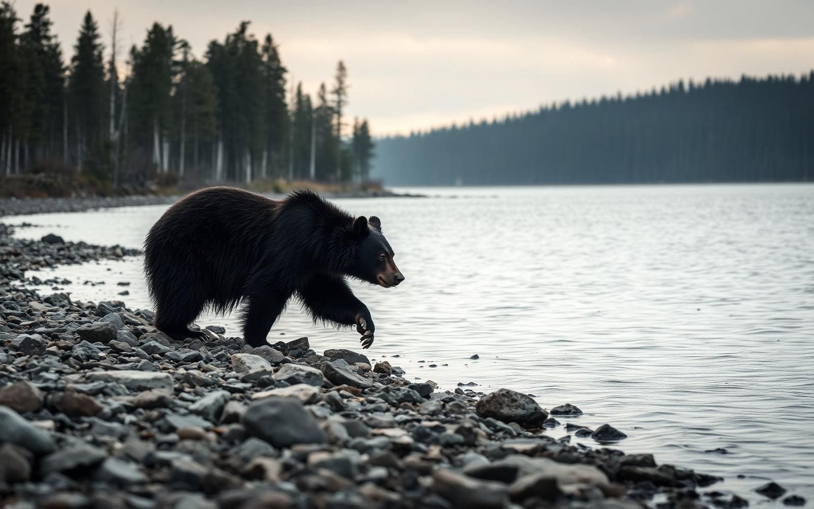
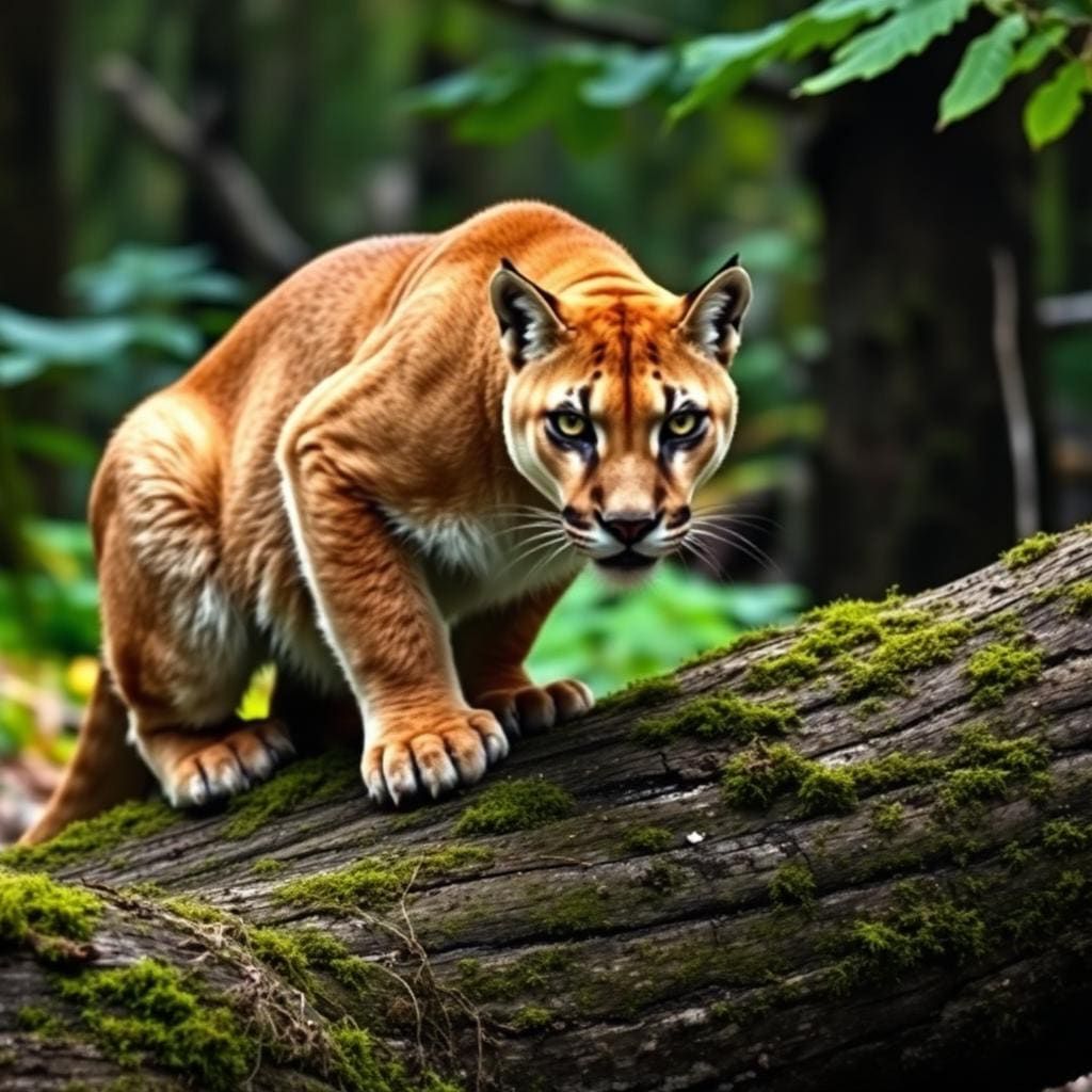
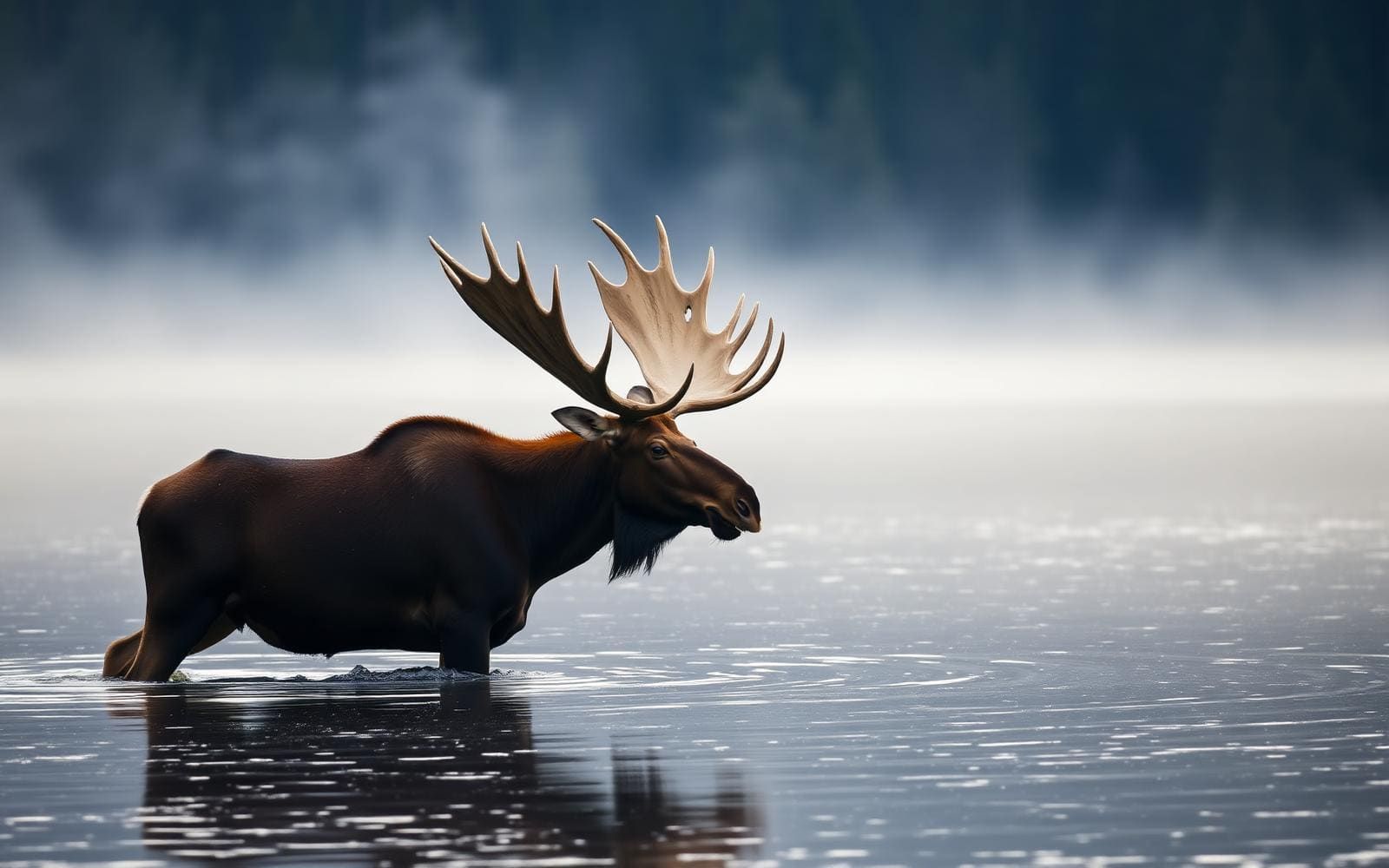
Wildlife found around Assateague Island


Compare side by side
Put the Assateague Island against any other pick on this list — specs, price, pros, cons and reader ratings.