



Bob Marshall Wilderness
A million roadless acres of Montana grizzly country anchored by the Chinese Wall.
- Region
- Montana
- Country
- United States
- Best for
- backpacking, fly fishing, horse packing
- Best season
- Spring, Summer
- Permits
- Confirm current permit, reservation, and t…
- Managed by
- United States Forest Service
Plan with verified data
Bob Marshall Wilderness trip tools
Montana · United States · Season: July–September
- Backpacking
- Hiking
- Wildlife Viewing
- Horseback Riding
Big country, long approaches
Trailheads to the interior run 15-25 miles. Plan a week minimum, or hire a packer to move gear in.
Grizzly protocol
Bear spray on the hip, hang or canister everything scented, and cook well away from your tent. This is core grizzly habitat.
Field notes
- Outfitter stock has right of way — step downhill off the trail
- Fall brings hunting season traffic; wear blaze orange
Where on earth
Satellite imagery flying in from a world view to Bob Marshall Wilderness, United States. Use the + / − buttons, or click the map to zoom with your scroll wheel; drag to pan and pinch to zoom on touch.
Coordinates
- Decimal degrees
- 47.6000, -113.0000
- Latitude (DMS)
- 47° 36′ 0.0″ N
- Longitude (DMS)
- 113° 0′ 0.0″ W
Coordinates are an access-point reference for Bob Marshall Wilderness, not a route. Carry a paper map and confirm trailhead or put-in access with the managing agency before you go.
Topic summary
A million roadless acres of Montana grizzly country anchored by the Chinese Wall.
Key takeaways
- Region: Montana
- Country: United States
- Best season: July–September
- Good for: backpacking, fly fishing, horse packing, wildlife viewing
- Coordinates: 47.600, -113.000
Intended uses
- backpacking
- fly fishing
- horse packing
- wildlife viewing
Climate suitability
July–September
Keep planning
Popular pursuits at Bob Marshall Wilderness
- Backpacking
Multi-day travel with everything on your back — see the packing blocks below.
- Hiking
Day miles on marked trail, with route notes and trail links below.
- Wildlife Viewing
Best light, best season, and where animals move.
Animals around Bob Marshall Wilderness


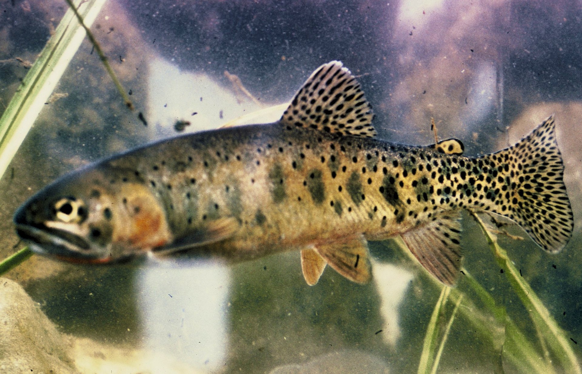

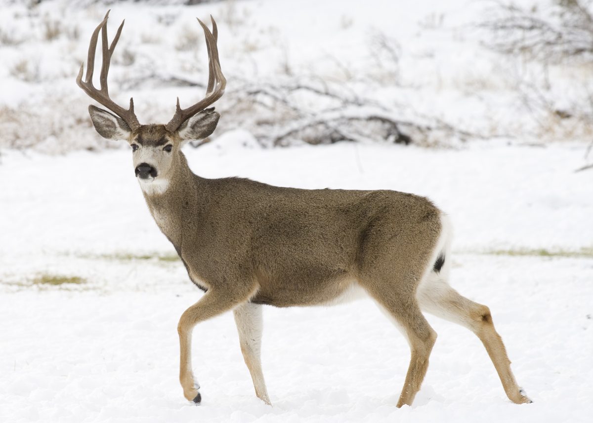



A roadless stretch of the Continental Divide
The Bob Marshall Wilderness occupies 1,009,356 acres in western Montana and extends for 60 miles along the Continental Divide. Its defining feature for trip planning is its roadless character: travel inside the wilderness is on foot or with stock, rather than by vehicle. That makes the choice of starting point, daily mileage, and turnaround plan central to any visit. The area’s size leaves room for extended wilderness travel, but it also makes a tightly defined itinerary more useful than a general ambition to explore. Choose a trip that fits the group’s ability to carry supplies and handle changing mountain weather. Plan around the actual trails and terrain of that itinerary, not the wilderness’s overall dimensions.
Travel on foot or with stock
The five ranger districts administering the Bob Marshall Wilderness manage 1,856 miles of trail open to foot and stock use only. For visitors, hiking and stock-supported travel are the two ways to approach this extensive trail network. Neither approach removes the need for careful preparation: match the itinerary to the least experienced member of the party, carry navigation tools, and leave enough flexibility to turn back. Permanent structures are limited to a few old ranger stations and horse bridges, so plan for self-sufficient travel rather than regular developed facilities. Before choosing a departure point, ask the administering ranger district about access and the condition of the intended trails. Confirm current permit requirements with the managing agency.
The history behind the wilderness
Formally designated in 1964, the wilderness takes its name from Bob Marshall, a federal forester, conservationist, and co-founder of The Wilderness Society. While working for the United States Forest Service in the 1930s, Marshall helped secure the preservation of large roadless areas on Forest Service lands through agency regulations. The wilderness that bears his name carries that roadless principle into present-day trip planning. Its few permanent structures do not change the basic expectation of travel by foot or stock. For a visitor, this history has a practical consequence: the destination is best approached as a substantial backcountry landscape, not a collection of roadside stops. Build the trip around time on the trail, a manageable itinerary, and the supplies needed to travel independently.
Getting to Bob Marshall Wilderness
The Bob Marshall Wilderness is in western Montana along the Continental Divide. Confirm a suitable trailhead and its road approach with the administering ranger district before setting out; travel within the wilderness is on foot or with stock.
Route options
- Wilderness trail hiking
Plan a foot-travel itinerary on the wilderness trail network. Select specific trails and starting points with the administering ranger district before assigning daily mileage or committing to a trip length.
- Wilderness stock travel
Stock travel is supported by the wilderness trail network, with horse bridges among the area's few permanent structures. Confirm an appropriate itinerary and current trail conditions with the administering ranger district.
Sample itineraries
- Two-day walking introduction · 2 days
Plan a short out-and-back on a Forest Service-confirmed trail in the Bob Marshall Wilderness. Spend one night out and return along the same route. Choose the access point and turnaround after checking conditions; this roadless area requires a self-supported approach.
- Four-day wilderness backpack · 4 days
Build a backpacking trip around the Bob Marshall’s foot-and-stock trail network. Use conservative daily stages and leave room to turn back. Confirm trail connections and overnight arrangements with the administering ranger district rather than assuming a mapped connection is currently passable.
- Three-day stock trip · 3 days
Plan a stock-supported trip on trails confirmed suitable by the administering ranger district. The wilderness trail network accommodates foot and stock travel. Select overnight stops and daily stages around current trail conditions, stock needs, and the group’s experience.
Seasonal conditions
| Season | Window | Conditions |
|---|---|---|
| Spring | Conditions-dependent spring travel | For this Continental Divide setting, check snow, overnight temperatures, and trail access before committing. Do not assume lower-elevation conditions represent the whole trip. Choose a route with straightforward retreat options. |
| Summer | Conditions-dependent summer travel | Plan for changing mountain weather rather than assuming consistently warm conditions. Carry rain protection and insulation, check water availability, and allow extra time for travel through a large roadless wilderness. |
| Fall | Conditions-dependent fall travel | Check forecasts closely and plan daily stages around available daylight. Carry enough insulation for cold conditions and be ready to shorten the trip if mountain weather deteriorates. |
| Winter | Conditions-dependent winter travel | Treat a winter visit as a specialized backcountry undertaking. Confirm snow and access conditions with the administering ranger district. Roadless terrain leaves little flexibility for a quick exit when conditions or equipment fail. |
Permits, fees & closures
Confirm current permit, reservation, and trip requirements with the Forest Service ranger district administering your planned route.
Official source: STATE PARKS :: Fees & General Information - Montana FWP · Verified September 18, 2026
Hazards & regulations
- Roadless terrain makes retreat and outside assistance harder; leave a trip plan and carry supplies for an unexpected delay.
- Changing weather along the Continental Divide can make an exposed or prolonged journey more serious; carry insulation and rain protection.
- Navigation errors in a large wilderness can substantially complicate a trip; carry offline maps and a backup navigation method.
- Trails accommodate both foot and stock travel; communicate with stock handlers and give animals room to pass.
What to pack for Bob Marshall Wilderness
- Topographic map covering the full planned route
- Compass and offline navigation
- Emergency communication device
- First-aid kit and repair supplies
- Headlamp and spare power
- Rain shell and insulating layers
- Shelter suited to the forecast
- Sleeping system suited to expected temperatures
- Dry storage for essential clothing
- Water treatment and carrying capacity
- Food for the itinerary plus an emergency margin
- Food storage appropriate to managing-agency guidance
Bob Marshall Wilderness FAQ
- Where is the Bob Marshall Wilderness?
- It lies in western Montana and extends for 60 miles along the Continental Divide. The designated wilderness covers 1,009,356 acres.
- Can a trip include driving through the wilderness?
- No. The Bob Marshall is a roadless wilderness. Plan travel inside the wilderness on foot or with stock, and confirm your approach with the administering ranger district.
- What trail information should be checked before departure?
- Confirm the access point, trail connections, current conditions, and suitability for your travel method. The five administering ranger districts manage 1,856 miles of trails open to foot and stock use.
- Are there developed facilities inside?
- Permanent structures are limited to a few old ranger stations and horse bridges. Do not plan around staffed facilities or visitor services; carry what the trip requires.
- Who was Bob Marshall?
- Bob Marshall was a forester, conservationist, and co-founder of The Wilderness Society. His work helped preserve roadless areas on Forest Service lands. The wilderness bearing his name was formally designated in 1964.