



- Region
- Quebec
- Country
- Canada
- Best for
- ski touring, camping, photography
- Best season
- Spring, Summer
- Permits
- Confirm current permit and entry requireme…
Plan with verified data
Chic-Chocs trip tools
Tools for a trip here
Picked for how, when and where you're going. Free, no signup.
How to get there
The Chic-Chocs are in the Gaspé Peninsula of southeastern Quebec, Canada. Confirm the exact mountain access point and approach before arranging travel; regional orientation alone is not sufficient for trailhead navigation.
Sources: parks.canada.ca · Wikipedia · Wikivoyage. Confirm road and trailhead conditions with the managing agency before you leave.
Quebec · Canada · Season: Winter (Dec–Mar)
- Winter Camping
- Skiing
- Photography
Overview
Backcountry ski touring and hot-tent camping in Québec's snowiest range.
Planning notes
Where: Quebec, Canada Best season: Winter (Dec–Mar) Good for: Ski Touring, Camping, Photography Featured on: Top 10 Winter Camping Locations (#9) Access point: Chic-Choc Mountains, La Haute-Gaspésie Regional County Municipality, QC G4V 2E4, Canada
Check current permits, closures and fire restrictions with the managing agency before you commit to dates.
Where on earth
Satellite imagery flying in from a world view to Chic-Chocs, Canada. Use the + / − buttons, or click the map to zoom with your scroll wheel; drag to pan and pinch to zoom on touch.
Coordinates
- Decimal degrees
- 48.9167, -66.0000
- Latitude (DMS)
- 48° 55′ 0.0″ N
- Longitude (DMS)
- 66° 0′ 0.0″ W
Coordinates are an access-point reference for Chic-Chocs, not a route. Carry a paper map and confirm trailhead or put-in access with the managing agency before you go.
Topic summary
Backcountry ski touring and hot-tent camping in Québec's snowiest range.
Key takeaways
- Region: Quebec
- Country: Canada
- Best season: Winter (Dec–Mar)
- Good for: ski touring, camping, photography
- Coordinates: 48.917, -66.000
Intended uses
- ski touring
- camping
- photography
Climate suitability
Winter (Dec–Mar)
Keep planning
Popular pursuits at Chic-Chocs
- Winter Camping
Cold-season travel and camp craft; layering matters more than mileage.
- Skiing
Ski-touring access when the road closes for the season.
- Photography
Vantage points and the hours worth setting an alarm for.
Animals around Chic-Chocs

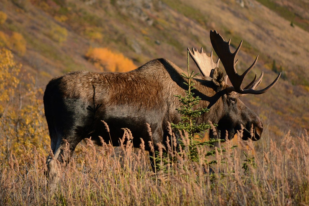
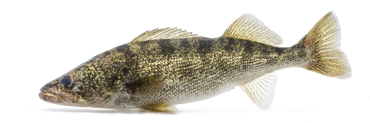

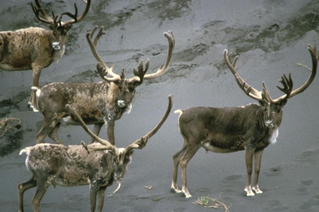
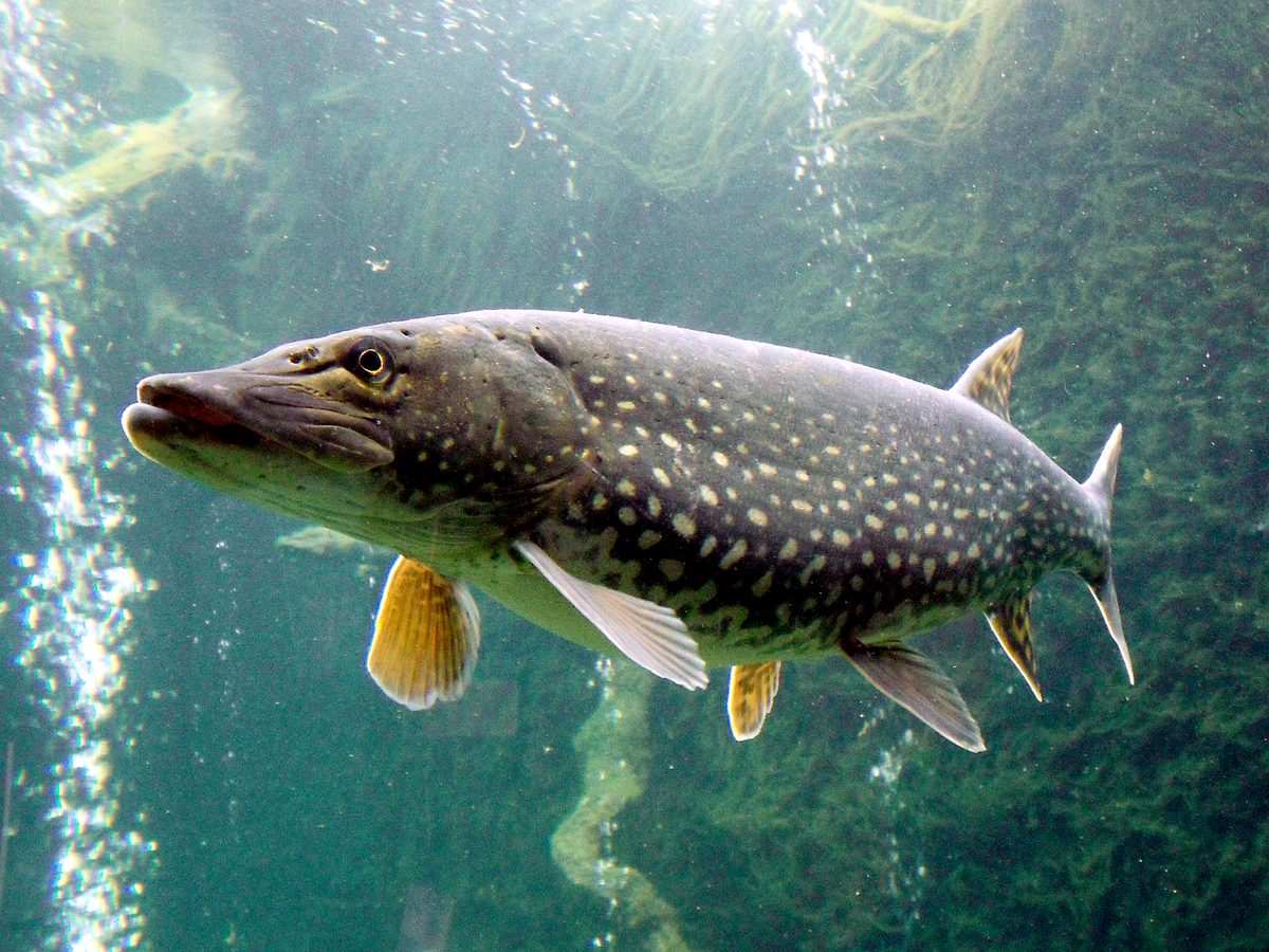


The Chic-Chocs in the Gaspé Peninsula
The Chic-Chocs are part of the mountain landscape of the Gaspé Peninsula in southeastern Quebec. The peninsula lies between the Gulf of St. Lawrence and the adjacent St. Lawrence estuary to the north, and Chaleur Bay to the south. Its coastal setting combines fishing villages and lighthouses with mountains that descend steeply toward the sea. Inland, the landscape becomes more remote, with tree-covered mountains and salmon-filled rivers. That distinction matters when planning a trip: a coastal visit and an outing into the mountain interior require different preparation. Treat the Chic-Chocs as a mountain destination within a much larger peninsula, rather than assuming that a regional sightseeing itinerary also provides practical access to the backcountry.
Warm-Weather Travel and Regional Planning
The Gaspé Peninsula is a popular warm-weather destination, with its peak travel season in July and August. Book accommodation early if a Chic-Chocs visit falls within that busy regional period. The peninsula is sparsely populated, and its inland mountains and rivers are more remote than its coastal communities. Plan lodging and mountain access together rather than choosing a base solely for its shoreline setting. A regional map is useful for orientation, but a mountain outing needs more specific information about the intended starting point and route. Before committing to an itinerary, establish where the outing begins, how to reach it, and what services are available nearby. Confirm access requirements with the managing agency.
Winter Skiing and Snowshoeing
Winter brings skiing and snowshoeing to the Chic-Chocs, while snowmobiling is also part of the wider Gaspé Peninsula's winter recreation. These activities should not be treated as interchangeable ways to follow the same route. Choose an outing suited to the group's experience and confirm that the intended route supports the chosen activity. The combination of winter conditions and a remote mountain interior calls for conservative planning, warm layers, navigation equipment, and enough supplies to handle delays. Check the weather and current local conditions before leaving, and set a turnaround plan that does not depend on reaching a particular objective. Specific starting points, route lengths, and difficulty ratings need to be established before travel.
Route options
- Chic-Chocs skiing
A winter activity option rather than a specified itinerary. Confirm a suitable ski route, its starting point, and current conditions locally before setting out.
- Chic-Chocs snowshoeing
A winter activity option in the mountains. Select a confirmed snowshoe route appropriate to the group's experience; no particular trail or access point is specified here.
Sample itineraries
- Warm-weather Chic-Chocs introduction · 2 days
Use one day to explore the Gaspé Peninsula’s coastal scenery and another for the inland, tree-covered mountains. Choose specific outings only after confirming local access and conditions. Arrange accommodation early if visiting during the regional July–August peak season.
- Winter skiing or snowshoeing · 2 days
Plan two days around skiing or snowshoeing in the Chic-Chocs. Confirm suitable terrain, access and current conditions locally before choosing outings. Keep the second day flexible rather than committing to an unverified route.
Seasonal conditions
Spring
Confirm locally
Season-specific mountain conditions are not established here. Confirm access and whether the intended outing requires winter equipment before setting plans.
Summer
July and August regional peak season
The Gaspé Peninsula is a popular warm-weather destination. Summer brings more traffic, and accommodation should be arranged early during the peak season. Inland mountain areas remain comparatively remote.
Fall
Confirm locally
No reliable fall activity window is established here. Check current mountain conditions, access and accommodation availability before committing to an itinerary.
Winter
Winter; confirm local conditions
Skiing and snowshoeing bring visitors to the Chic-Chocs in winter. Select outings according to current conditions and the group’s experience; specific routes and operating periods need local confirmation.
| Season | Window | Conditions |
|---|---|---|
| Spring | Confirm locally | Season-specific mountain conditions are not established here. Confirm access and whether the intended outing requires winter equipment before setting plans. |
| Summer | July and August regional peak season | The Gaspé Peninsula is a popular warm-weather destination. Summer brings more traffic, and accommodation should be arranged early during the peak season. Inland mountain areas remain comparatively remote. |
| Fall | Confirm locally | No reliable fall activity window is established here. Check current mountain conditions, access and accommodation availability before committing to an itinerary. |
| Winter | Winter; confirm local conditions | Skiing and snowshoeing bring visitors to the Chic-Chocs in winter. Select outings according to current conditions and the group’s experience; specific routes and operating periods need local confirmation. |
Permits, fees & closures
Confirm current permit and entry requirements with the managing agency for the specific Chic-Chocs area being visited.
Official source: Fees - Glacier National Park - Parks Canada · Verified September 18, 2026
Hazards & regulations
- Steep mountain terrain requires careful outing selection; do not assume coastal scenery is accessible on foot.
- Remote inland mountains make conservative planning important. Carry navigation equipment and leave an outing plan with a reliable contact.
- The sparsely populated Gaspé Peninsula calls for self-sufficient travel planning rather than assuming supplies or assistance will be nearby.
What to pack for Chic-Chocs
- Navigation equipment
- First-aid kit
- Food and drinking water
- Weather-protective layers
- Emergency shelter
- Skis or snowshoes appropriate to the chosen outing
- Insulating layers
- Gloves and warm hat
- Spare dry clothing
Chic-Chocs FAQ
- Where are the Chic-Chocs?
- The Chic-Choc Mountains are on the Gaspé Peninsula in southeastern Quebec, Canada. The peninsula lies between the Gulf of St. Lawrence and St. Lawrence estuary to the north and Chaleur Bay to the south.
- What is the landscape like?
- Expect steep mountains near the coast and remote, tree-covered mountains inland. Fishing villages and lighthouses line the peninsula’s shoreline, while salmon rivers run through the interior.
- When is the busiest travel season?
- July and August are the Gaspé Peninsula’s peak tourism months. Arrange accommodation early, but confirm conditions separately for any mountain outing.
- What can visitors do in winter?
- Skiing and snowshoeing are established winter activities in the Chic-Chocs. Confirm suitable routes and current access locally before heading out.
- Is there a confirmed trailhead or mountain route to follow?
- No specific trailhead or mountain route is established here. Obtain current access information and a suitable route description from the managing agency before finalizing an outing.