



Where on earth
Satellite imagery flying in from a world view to Rio Cisnes (Chile), Worldwide. Use the + / − buttons, or click the map to zoom with your scroll wheel; drag to pan and pinch to zoom on touch.
- Region
- Chile
- Country
- Worldwide
- Biome
- Patagonian (200 m)
- Best season
- November – April
- Difficulty
- moderate
- Backpacking
- Hiking
- Fishing
- Canoeing
Key takeaways
- Biome: Patagonian (200 m)
- Best season: November – April
- Difficulty: moderate
- Top activity: backpacking
Photos of Rio Cisnes (Chile)
Topic summary
Trophy rainbow and brown trout river in northern Patagonia lodge country.
Key takeaways
- Difficulty: moderate
- Best season: November – April
Intended uses
backpacking
Climate suitability
Patagonian (200 m)
Tools for a trip here
Picked for how, when and where you're going. Free, no signup.
- Sleep System Temp CalculatorCold nights: check your bag and pad add up to a safe sleep.
- Base Weight CalculatorEvery ounce is carried — total your kit and find your base weight.
- Pack Volume SizerSize the pack for your trip length and season.
- Water Purification MatrixTreat water from streams and lakes on trail.
- Layering CalculatorCold-season miles: layer for climbs and camp.
Plan with verified data
Rio Cisnes (Chile) trip tools
How to get there
Río Cisnes is in Chile’s Aysén del General Carlos Ibáñez del Campo Region. Puerto Cisnes is the named coastal orientation point near its mouth at Puyuhuapi Channel. Confirm road approaches and usable river access locally before travel.
- Puerto Cisnes
Town near the river’s Pacific outlet. Use it as a geographic planning anchor; a specific public riverbank access point or launch is not established.
- Puyuhuapi Channel
The receiving channel at the river’s mouth near Puerto Cisnes. This identifies the coastal end of the river, not a confirmed landing or launch site.
Sources: Wikipedia. Confirm road and trailhead conditions with the managing agency before you leave.
Popular pursuits at Rio Cisnes (Chile)
- Backpacking
Multi-day travel with everything on your back — see the packing blocks below.
- Hiking
Day miles on marked trail, with route notes and trail links below.
- Fishing
Resident gamefish, seasons, and the water that holds them.
- Canoeing
Paddle routes, portages, and put-ins.
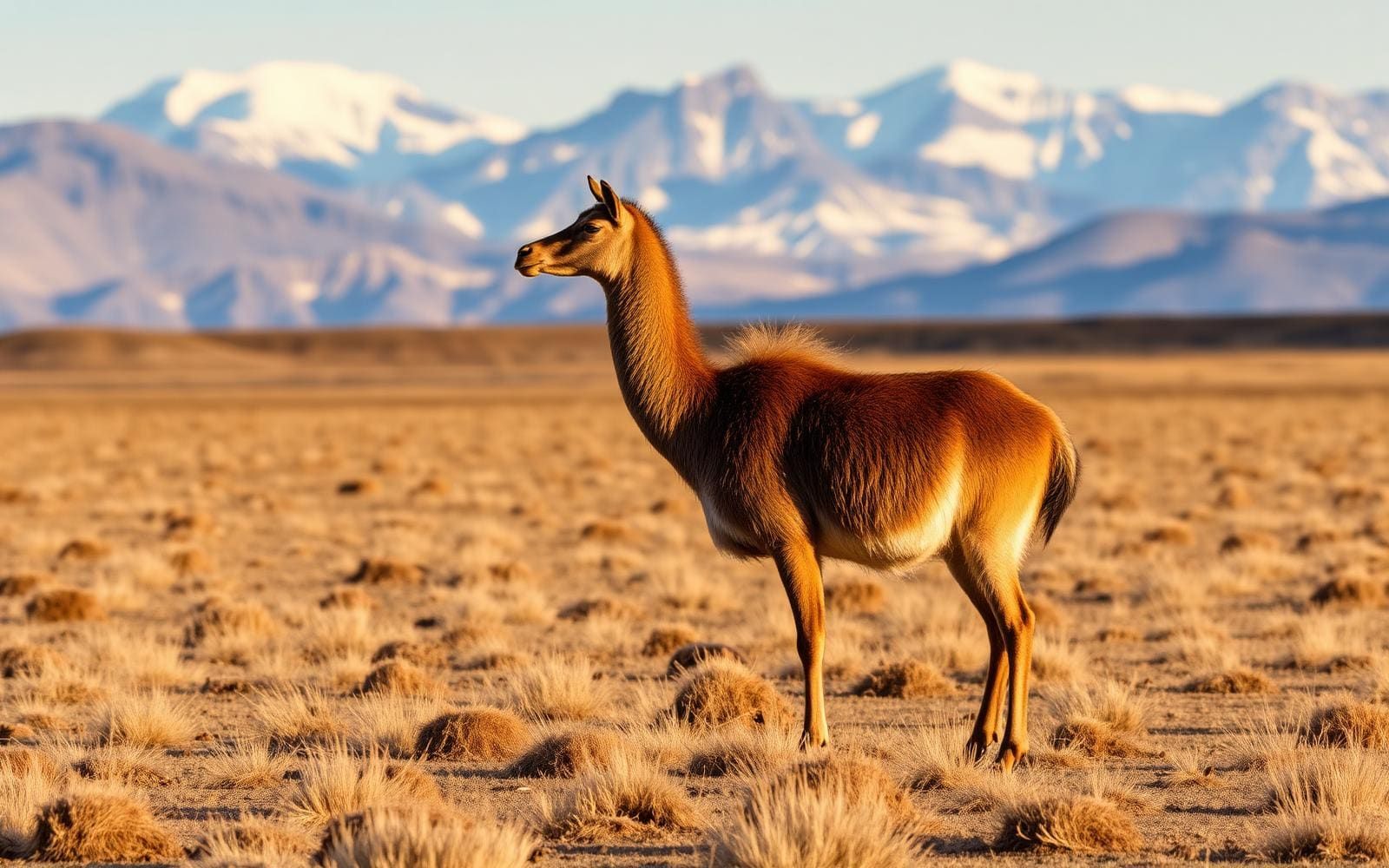
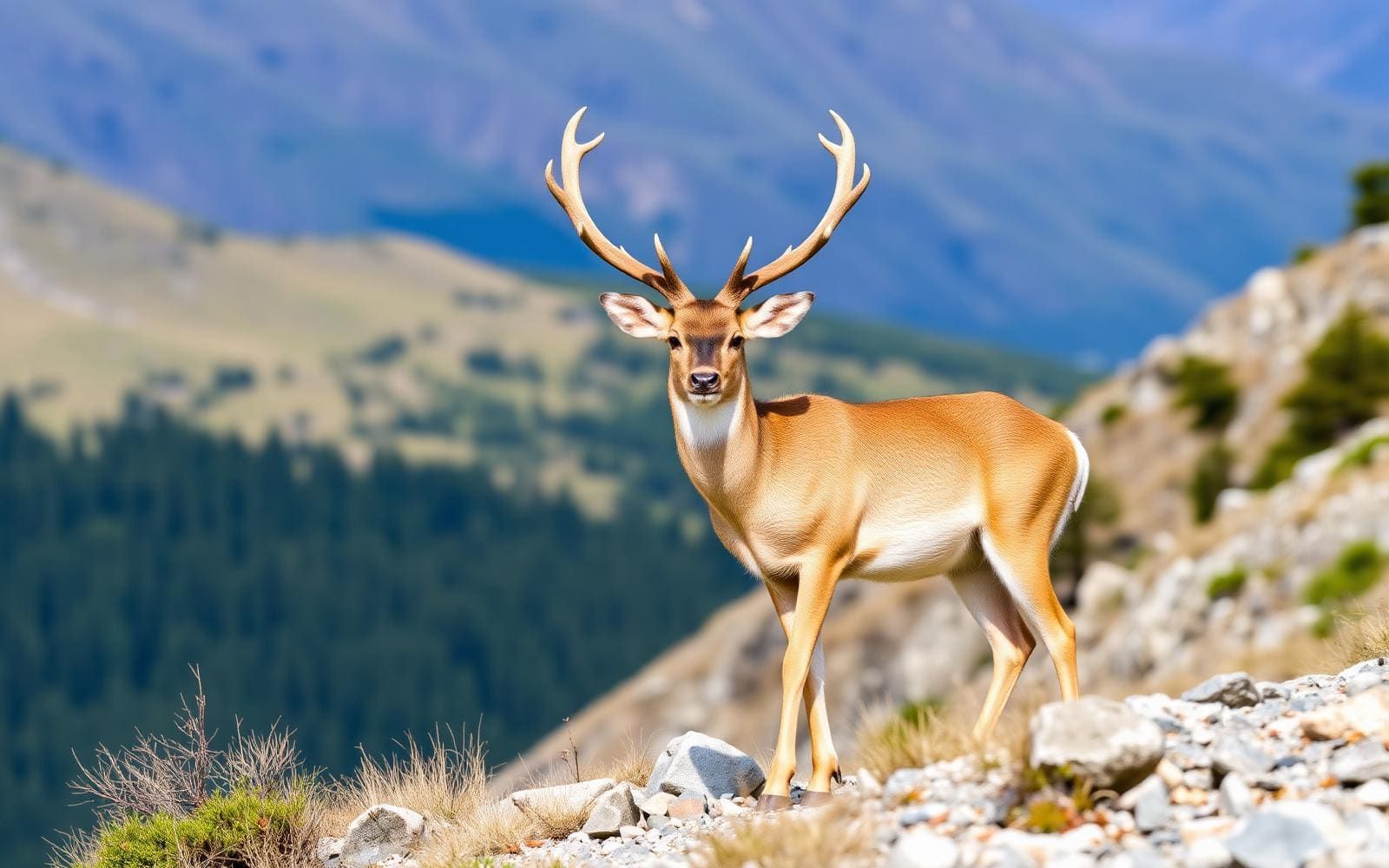
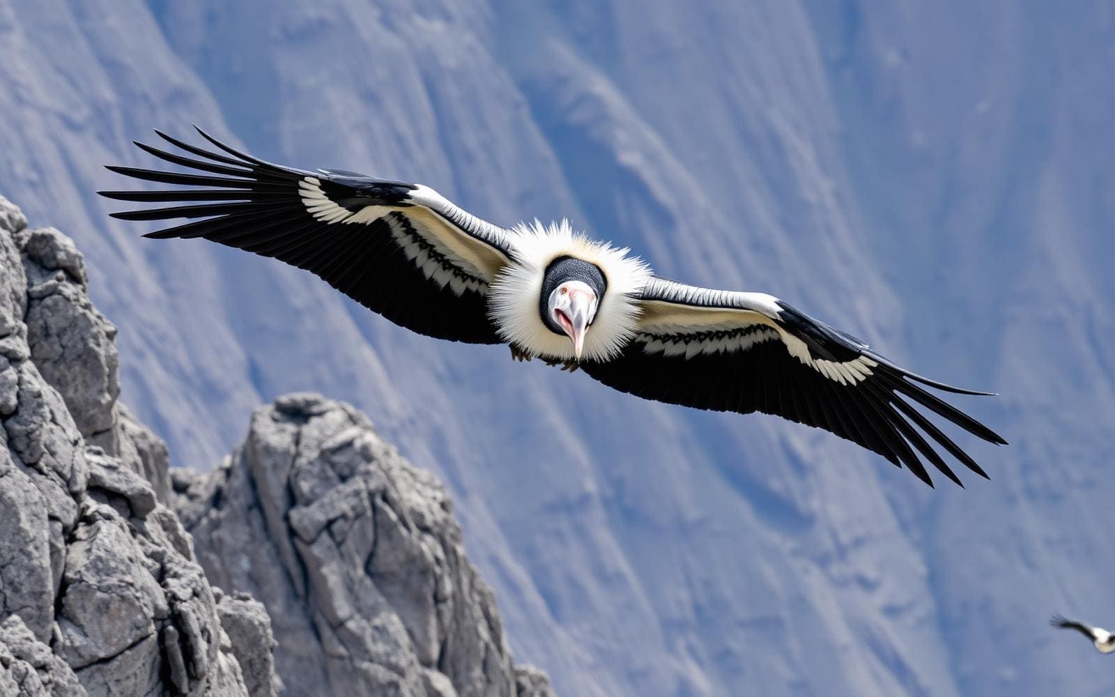
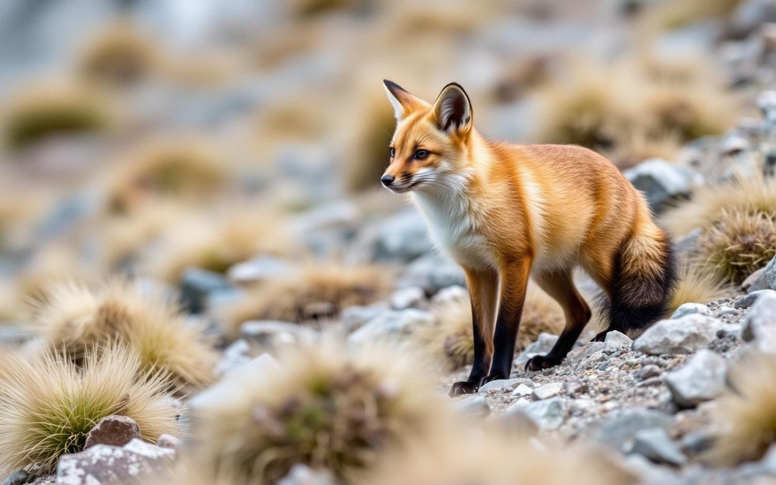
Animals around Rio Cisnes (Chile)

Maps, GPS & compass for this trip
Carry a waterproof paper map and a compass you can steer by, and treat the GPS as the backup — not the other way round. Buying links go to Amazon; Wild10 earns a commission at no cost to you.
Waterproof topo maps
- Waterproof topographic map — Rio Cisnes (Chile)Amazon search for waterproof, tear-resistant topo maps covering this area.
- National Geographic Trails IllustratedThe waterproof Trails Illustrated series — check for a sheet covering this area.
- Waterproof map case & compass lanyardKeep a paper map readable in rain, spray and a swamped boat.
Fishing at Rio Cisnes (Chile)
Planning to fish Rio Cisnes (Chile)? Fishing licences, open seasons and catch limits in Chile are set by the local wildlife authority and change every year — check the official source before you cast a line.
Do I need a fishing licence at Rio Cisnes (Chile)?
- A Chile fishing licence is normally required for anyone over the local youth age.
- Read the current Chile fishing regulations for special waters, barbless-hook or catch-and-release rules.
- Clean, drain and dry boats and gear between waters to stop invasive species.
We don't have a verified licensing link on file for Chile yet — contact the park or land manager listed on this page for current hunting and fishing rules.
Hunting near Rio Cisnes (Chile)
Thinking about hunting Rio Cisnes (Chile)? Hunting seasons, tags and draws in Chile are set by the wildlife authority each year. Confirm the rules for your species and unit before you go.
Is hunting allowed at Rio Cisnes (Chile)?
- Confirm the land around Rio Cisnes (Chile) is open to hunting and which management unit it falls in.
What do I need to hunt in Chile?
- A Chile hunting licence — most jurisdictions also require hunter education certification.
- Species tags or draw results for big game such as deer, elk, moose or bear where they occur.
- Knowledge of firearm and bow transport rules, which differ by land type and border crossing.
We don't have a verified licensing link on file for Chile yet — contact the park or land manager listed on this page for current hunting and fishing rules.
An east–west river in Chilean Patagonia
Río Cisnes lies in the Aysén del General Carlos Ibáñez del Campo Region of Chilean Patagonia. Its course runs east to west, beginning in mountains near the Argentine border and reaching the Pacific at Puyuhuapi Channel, near Puerto Cisnes. That mountain-to-coast alignment is the clearest way to understand the destination: this is a river corridor, not a single trailhead or recreation site. A trip focused on its coastal end has a different geographic scope from one intended to explore the river farther east. Start by choosing which part of that corridor matters to the trip, then confirm practical access locally. The river’s course alone should not be treated as evidence of a continuous road, walking route, or navigable passage.
Turquoise water and a broader river system
The Cisnes is distinguished by turquoise-blue water, a color associated with glacial sediments carried in the river. That sediment is part of the river’s physical character rather than a sign of clear or treated water. For an outdoor visit, the useful distinction is between appreciating the water from a confirmed accessible location and assuming it is suitable for entering or crossing. Color does not establish depth, current strength, or boating conditions. The Moro and Pinchado rivers are among the Cisnes’s major tributaries, placing it within a broader drainage rather than an isolated watercourse. Their names help explain the river system, but they do not establish visitor access, connecting trails, or usable put-ins. Keep any tributary exploration dependent on locally verified access and conditions.
Planning around the coastal end
Puerto Cisnes is the named town near the river’s outlet, making it a useful geographic anchor when planning a visit to the coastal end. The river empties into Puyuhuapi Channel, where the inland river corridor meets the Pacific. Treat the town and channel as orientation points, not as confirmation of a public riverbank, boat launch, or marked route. Before setting out, establish where access is allowed and which locations are appropriate for the intended activity. For a mountain-to-coast trip, resolve the inland and coastal portions separately rather than assuming they connect conveniently on the ground. Keep the plan flexible enough to match verified access, weather, and water conditions, and avoid committing to a river journey without specific local guidance.
Route options
- Puerto Cisnes–river mouth area
A coastal-area planning option focused on the river’s outlet into Puyuhuapi Channel near Puerto Cisnes. Confirm an accessible viewing location locally; this is not a documented walking or boating route.
- Eastern mountains–Puyuhuapi Channel corridor
A geographic outline following the river’s east–west course from mountains near Argentina to the Pacific. Use it to frame further trip planning, not as an established through-route; continuous land access and navigability are not confirmed.
Sample itineraries
- Puerto Cisnes and the river mouth · 1 day
Base a day around Puerto Cisnes and the nearby meeting of Río Cisnes with Puyuhuapi Channel. Confirm a lawful, safe riverside viewpoint locally before setting out. Focus on the river’s turquoise-blue water and its transition from mountain river to Pacific waters.
- River mouth and mountain context · 2 days
Spend the first day around Puerto Cisnes and the river mouth. For the second, ask locally about accessible places to observe the river farther inland. Use its east-to-west course from mountains near Argentina as your planning framework; do not assume a continuous riverside road or trail.
Seasonal conditions
Spring
Spring; verify local conditions before travel
Season-specific river levels and access conditions are not established here. Check current weather and local access before planning riverside outings in this mountain-to-coast setting.
Summer
Summer; verify local conditions before travel
Do not assume summer makes the river suitable for swimming, paddling, or crossings. Confirm conditions for the specific activity and location rather than judging safety by the water’s appearance.
Fall
Fall; verify local conditions before travel
Plan outings around current weather and available daylight. Keep inland exploration flexible until access and conditions are confirmed locally.
Winter
Winter; verify local conditions before travel
Confirm weather and access before leaving Puerto Cisnes for inland locations. Prepare for cold exposure, but do not assume particular snow conditions or seasonal closures.
| Season | Window | Conditions |
|---|---|---|
| Spring | Spring; verify local conditions before travel | Season-specific river levels and access conditions are not established here. Check current weather and local access before planning riverside outings in this mountain-to-coast setting. |
| Summer | Summer; verify local conditions before travel | Do not assume summer makes the river suitable for swimming, paddling, or crossings. Confirm conditions for the specific activity and location rather than judging safety by the water’s appearance. |
| Fall | Fall; verify local conditions before travel | Plan outings around current weather and available daylight. Keep inland exploration flexible until access and conditions are confirmed locally. |
| Winter | Winter; verify local conditions before travel | Confirm weather and access before leaving Puerto Cisnes for inland locations. Prepare for cold exposure, but do not assume particular snow conditions or seasonal closures. |
Permits, fees & closures
Confirm access permissions and any activity-specific permit requirements with the relevant managing agency before travel.
Confirm current permits, fees, and closures with the managing agency before you go.
Hazards & regulations
- River currents can make entering or crossing water dangerous. Do not infer safe swimming or paddling conditions from the turquoise-blue color.
- Glacial sediment colors the water; do not rely on appearance alone to judge depth or underwater footing.
- Mountain and coastal weather exposure warrants protective clothing and a flexible plan, particularly when exploring away from town.
What to pack for Rio Cisnes (Chile)
- Waterproof outer layer
- Insulating layers
- Weather-resistant footwear
- Drinking water
- Food
- First-aid kit
- Offline map
- Charged phone
- Dry bag for electronics
- Spare dry clothing
Rio Cisnes (Chile) FAQ
- Where is Río Cisnes?
- It is in the Aysén del General Carlos Ibáñez del Campo Region of Chilean Patagonia. It flows east to west from mountains near the Argentine border to Puyuhuapi Channel, near Puerto Cisnes.
- Why is the river turquoise-blue?
- Its characteristic color comes from glacial sediments in the water. The color does not establish water quality or recreational safety.
- Where does the river reach the ocean?
- Río Cisnes empties into Pacific waters at Puyuhuapi Channel, near Puerto Cisnes. Confirm local access before choosing a river-mouth viewpoint.
- Which tributaries feed Río Cisnes?
- The Moro River and Pinchado River are among its major tributaries. Their identification does not establish visitor access or navigable routes.
- Can a paddling trip be planned from this information?
- Not reliably. River grades, put-ins, take-outs, and flow guidance are not established here. Obtain location-specific advice and confirm access before committing to a water-based trip.
- What does Cisnes mean?
- Cisnes is Spanish for swans. The name alone does not establish which wildlife visitors can expect to see.