



Chilkoot Trail
Thirty-three miles of Klondike gold rush history from Alaska rainforest to Yukon alpine.
- Region
- Alaska / Yukon
- Country
- United States and Canada
- Best for
- backpacking, history, photography
- Best season
- Spring, Summer
- Permits
- Confirm permit and reservation requirement…
- Managed by
- Parks Canada, Klondike Gold Rush National Historical Park
Plan with verified data
Chilkoot Trail trip tools
Alaska / Yukon · United States and Canada · Season: July–early September
- Backpacking
- Hiking
- Climbing
- Mountaineering
- Winter Camping
- Skiing
- Wildlife Viewing
A museum you walk through
Rusted stoves, boot soles, and cable tramway remains still line the route from the 1898 stampede. Everything stays where it lies.
The pass
The final climb to the pass is a steep boulder scramble, often snow-covered into July. Start early and expect weather to change at the summit.
Field notes
- You cross an international border — carry a passport
- Book the return train or ferry from Bennett before you start
Where on earth
Satellite imagery flying in from a world view to Chilkoot Trail, United States and Canada. Use the + / − buttons, or click the map to zoom with your scroll wheel; drag to pan and pinch to zoom on touch.
Coordinates
- Decimal degrees
- 59.6500, -135.2500
- Latitude (DMS)
- 59° 38′ 60.0″ N
- Longitude (DMS)
- 135° 15′ 0.0″ W
Coordinates are an access-point reference for Chilkoot Trail, not a route. Carry a paper map and confirm trailhead or put-in access with the managing agency before you go.
Topic summary
Thirty-three miles of Klondike gold rush history from Alaska rainforest to Yukon alpine.
Key takeaways
- Region: Alaska / Yukon
- Country: United States and Canada
- Best season: July–early September
- Good for: backpacking, history, photography
- Coordinates: 59.650, -135.250
Intended uses
- backpacking
- history
- photography
Climate suitability
July–early September
Keep planning
Popular pursuits at Chilkoot Trail
- Backpacking
Multi-day travel with everything on your back — see the packing blocks below.
- Hiking
Day miles on marked trail, with route notes and trail links below.
- Climbing
Rock and alpine lines with approach beta.
- Mountaineering
Glacier and high-route objectives with real consequence.
- Winter Camping
Cold-season travel and camp craft; layering matters more than mileage.
- Skiing
Ski-touring access when the road closes for the season.
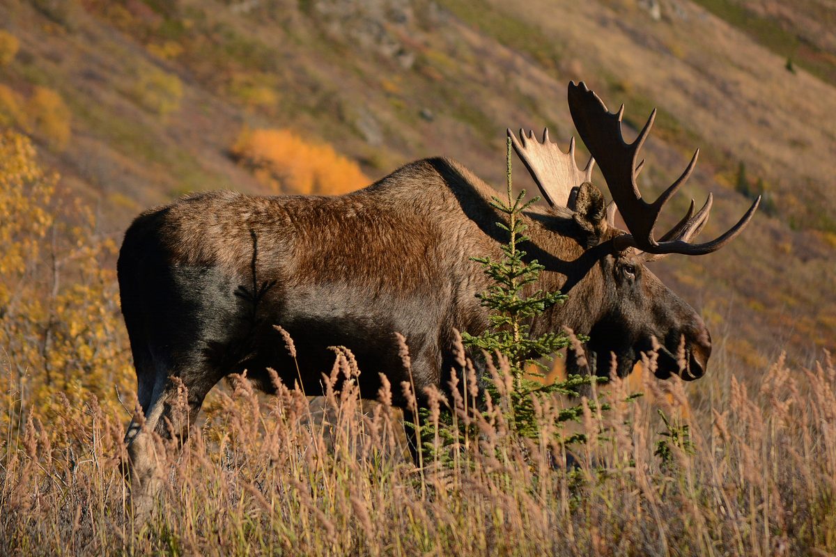
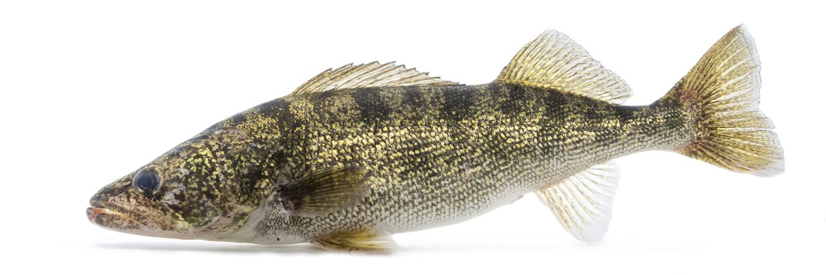
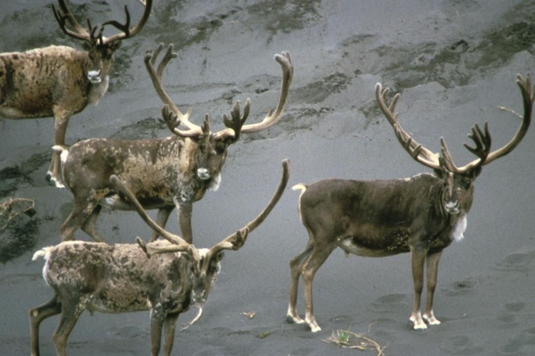
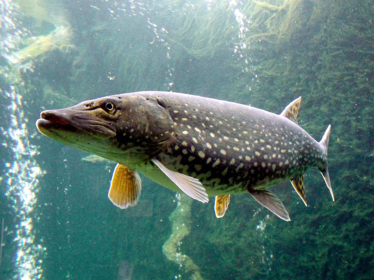
Animals around Chilkoot Trail




An Enduring Trek Through History
The Chilkoot Trail is a storied 53-kilometer (33-mile) path traversing the Coast Mountains from Dyea, Alaska, to Lake Bennett in British Columbia. This challenging route played a pivotal role as a primary access corridor to the Yukon goldfields during the late 1890s Klondike Gold Rush. Hikers on the Chilkoot Trail follow in the footsteps of thousands of prospectors who braved its demanding terrain and harsh conditions. The trail's historical significance is preserved through its designation as a National Historic Landmark and National Historical Park on the U.S. side, and as a National Historic Site on the Canadian side, forming the Klondike Gold Rush International Historical Park. This international collaboration ensures the protection and interpretation of this unique historical landscape, offering a tangible connection to a defining era of North American history.
Diverse Landscapes and Challenging Terrain
The Chilkoot Trail offers a remarkable journey through varied ecosystems, beginning near the deep-water tidal ports of the Skagway area and ascending to the headwaters of the Yukon River. Over its course, the trail gains approximately 1,000 meters (3,500 feet) in elevation. Hikers encounter a wide range of natural environments, from coastal forests to alpine passes and sub-alpine lakes. The trail is renowned for its challenging conditions, including steep climbs, rugged sections, and unpredictable weather, which can shift rapidly. Crossing the international border at Chilkoot Pass, roughly halfway along the trail, hikers experience a distinct change in scenery and a palpable sense of accomplishment. The combination of historical artifacts and diverse, wild landscapes makes this a unique and demanding wilderness experience.
Navigating the Historic Route
The Chilkoot Trail is not merely a hike; it is an immersion into a living outdoor museum, where remnants of the gold rush era are visible along the path. Hikers should be prepared for a multi-day backpacking trip that requires significant physical fitness and wilderness skills. The trail's remote sections demand self-sufficiency, as services are limited. Proper planning, including attention to gear, food, and emergency preparedness, is essential for a safe and successful journey. While the trail offers immense rewards in terms of historical insight and natural beauty, its challenging nature means hikers must approach it with respect and thorough preparation. The trail's popularity and historical significance underscore the importance of responsible recreation and adherence to Leave No Trace principles.
Route options
- Chilkoot Trail through Coast Mountains53 km (33 miles)Very challenging
This is a 53-kilometer (33-mile) hike through the Coast Mountains, traversing from Dyea, Alaska, to Lake Bennett, British Columbia. The trail gains approximately 1,000 meters (3,500 feet) in elevation, crossing the international border at Chilkoot Pass. It is known for its challenging conditions and diverse scenery.
Seasonal conditions
| Season | Window | Conditions |
|---|---|---|
| Spring | Conditions can be cold with lingering snow at higher elevations. Trail sections may be wet or muddy. | |
| Summer | Generally the most popular season for hiking, with longer daylight hours. Weather can still be unpredictable, including rain and cooler temperatures, especially at higher altitudes. | |
| Fall | Cooler temperatures and potential for early snow at higher elevations. Shorter daylight hours. Fall colors can be present but conditions can rapidly deteriorate. | |
| Winter | Extremely cold temperatures, heavy snow, and challenging conditions. The trail is generally not recommended for hiking during this season due to severe weather and avalanche risk. |
Permits, fees & closures
Confirm permit and reservation requirements with Parks Canada and the U.S. National Park Service for the Chilkoot Trail. Permits are required for both overnight and day use on the Canadian side.
Fees: Canadian Side Overnight Permit: Adult and Senior: $47.00 CAD, Youth: $23.75 CAD. Canadian Side Day Use Permit: Per person: $13.75 CAD. Reservation Service Fees: Online reservation, modification, or cancellation for hiking group: $11.50 CAD. Phone reservation, modification, or cancellation for hiking group: $13.50 CAD. Online reservation, modification, or cancellation for day use group: $3.50 CAD. Phone reservation, modification, or cancellation for day use group: $5.50 CAD.
Official source: Fees - Chilkoot Trail National Historic Site - Parks Canada · Verified August 22, 2026
Hazards & regulations
- Unpredictable and rapidly changing weather conditions
- Steep and rugged terrain, including snow and ice at Chilkoot Pass
- Potential for hypothermia due to cold and wet conditions
- Wildlife encounters, including bears
- Remote sections with limited or no cell service
- River crossings and slippery surfaces
What to pack for Chilkoot Trail
- Sturdy hiking boots
- Layered clothing for varying temperatures
- Rain gear (jacket and pants)
- Backpack
- Tent or shelter
- Sleeping bag rated for cold temperatures
- Cooking stove and fuel
- Water filter or purification tablets
- First aid kit
- Map and compass or GPS device
- Bear spray (and knowing how to use it)
- Sufficient food for the entire trip
- High-energy snacks
- Water bottles or hydration reservoir
- Headlamp or flashlight with extra batteries
- Whistle
- Fire starter
- Emergency shelter
Chilkoot Trail FAQ
- How long is the Chilkoot Trail?
- The Chilkoot Trail is approximately 53 kilometers (33 miles) long, extending from Dyea, Alaska, to Lake Bennett, British Columbia.
- What makes the Chilkoot Trail challenging?
- The trail is considered very challenging due to significant elevation gain (1000 meters/3500 feet), rugged and varied terrain, and rapidly changing weather conditions, particularly at higher elevations.
- Where does the Chilkoot Trail cross the border?
- The trail crosses the international border between the United States and Canada at Chilkoot Pass, which is roughly halfway along the route.
- Is the Chilkoot Trail historically significant?
- Yes, the Chilkoot Trail was a major access route to the Yukon goldfields during the late 1890s Klondike Gold Rush and is preserved as an International Historical Park.
- Are permits required for the Chilkoot Trail?
- Yes, permits are required for both overnight and day use on the Canadian side of the Chilkoot Trail. Hikers should confirm all permit and reservation details with the managing agencies.