



Cirque of the Towers
A ring of granite spires above Lonesome Lake — the most photographed basin in the Wind Rivers.
- Region
- Wyoming
- Country
- United States
- Best for
- climbing, backpacking, photography
- Best season
- Spring, Summer
- Permits
- Permit requirements vary for wilderness ar…
- Managed by
- Bridger-Teton National Forest, Shoshone National Forest
Plan with verified data
Cirque of the Towers trip tools
Wyoming · United States · Season: July–September
- Backpacking
- Hiking
- Climbing
- Canoeing
- Fishing
Worth the pass
The approach tops out at Jackass Pass and drops you into a basin ringed by Pingora, Wolfs Head, and Warbonnet. Climbers and hikers share the same short season.
Camp smart
Camping is restricted within a quarter mile of Lonesome Lake. Pick a bench above the outlet and pack out everything.
Field notes
- Acclimatize a night before pushing over the pass
- Afternoon storms arrive fast — start climbs at first light
Where on earth
Satellite imagery flying in from a world view to Cirque of the Towers, United States. Use the + / − buttons, or click the map to zoom with your scroll wheel; drag to pan and pinch to zoom on touch.
Coordinates
- Decimal degrees
- 42.7639, -109.2000
- Latitude (DMS)
- 42° 45′ 50.0″ N
- Longitude (DMS)
- 109° 12′ 0.0″ W
Coordinates are an access-point reference for Cirque of the Towers, not a route. Carry a paper map and confirm trailhead or put-in access with the managing agency before you go.
Topic summary
A ring of granite spires above Lonesome Lake — the most photographed basin in the Wind Rivers.
Key takeaways
- Region: Wyoming
- Country: United States
- Best season: July–September
- Good for: climbing, backpacking, photography
- Coordinates: 42.764, -109.200
Intended uses
- climbing
- backpacking
- photography
Climate suitability
July–September
Keep planning
Popular pursuits at Cirque of the Towers
- Backpacking
Multi-day travel with everything on your back — see the packing blocks below.
- Hiking
Day miles on marked trail, with route notes and trail links below.
- Climbing
Rock and alpine lines with approach beta.
- Canoeing
Paddle routes, portages, and put-ins.
- Fishing
Resident gamefish, seasons, and the water that holds them.
Animals around Cirque of the Towers


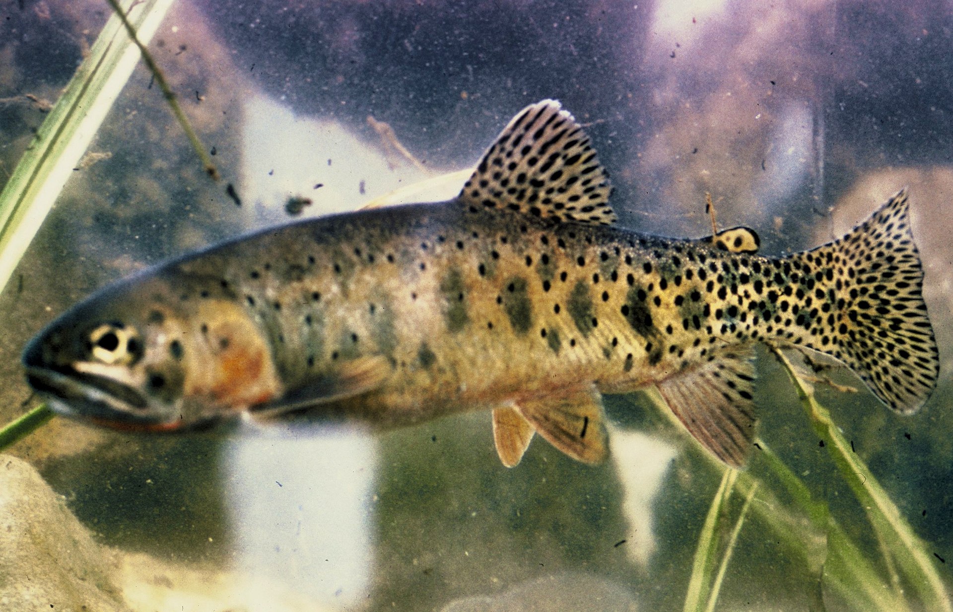

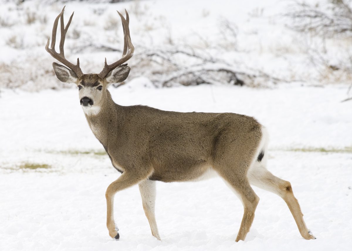



An Iconic Alpine Setting
The Cirque of the Towers is a renowned alpine destination located in the southern section of the Wind River Range, Wyoming, U.S. This dramatic landscape was shaped by a glacier that receded over 8,000 years ago, creating an almost circular valley. The area was named in 1941 by climber Orrin Bonney, who recognized its unique and imposing character. The mountains within the cirque are composed almost entirely of granite, offering solid anchoring for climbers. The Continental Divide spans the crest of the main peaks, adding to the region's geographical significance. While slightly lower in altitude than the highest peaks in the northern Winds, with Lizard Head Peak reaching 12,847 feet, the Cirque still presents a formidable and inspiring natural environment. Its remote location once limited visitors, but it has since become a very popular destination for those seeking challenging outdoor experiences.
Premier Rock Climbing Destination
The Cirque of the Towers is widely recognized as a premier destination for technical rock climbers. The granite peaks offer hundreds of routes with difficulties ranging from 5.1 to 5.11a. Notable individual mountains in the cirque include Shark's Nose, Warbonnet, Warrior Peak, Wolfs Head, and Pingora Peak. The area boasts two climbs featured in Steck and Roper's "Fifty Classic Climbs of North America": the Northeast Face of Pingora (IV, 5.9) and the East Ridge of the Wolf's Head (III, 5.6). These climbs, along with many others, attract climbers from various skill levels. The robust granite composition ensures good anchoring throughout the climbing experience. Due to its popularity, particularly for climbing and backpacking, the trails leading into the cirque can be busy during the peak summer months.
Wilderness Management and Access
The Cirque of the Towers is part of a federally managed wilderness area, with portions falling within the Bridger Wilderness in Bridger-Teton National Forest and others in the Popo Agie Wilderness in Shoshone National Forest. These designations help protect the area's pristine natural character and ensure a wilderness experience for visitors. Access to the cirque from the west, typically from Pinedale, Wyoming, requires a significant drive followed by a strenuous hike. While the initial sections of the trail are relatively level, the final ascent to Jackass Pass is very steep, challenging hikers before they descend into the cirque itself. Visitors should be prepared for remote conditions and self-sufficiency within this protected landscape.
A Segment of the Continental Divide Trail
The Cirque of the Towers area is traversed by the Continental Divide. The Continental Divide National Scenic Trail (CDT) follows this divide, extending approximately 3,028 miles between Mexico and Canada. This significant trail system passes through 25 National Forests and 21 Wilderness Areas, including the wilderness sections encompassing the Cirque of the Towers. For thru-hikers and backpackers on the CDT, the Cirque represents a notable and scenic segment of their journey through Wyoming. The trail within the cirque crosses Jackass Pass at 10,800 feet, which is part of the Continental Divide, offering panoramic views before descending to Lonesome Lake. The convergence of backpacking routes and world-class climbing objectives makes this region a magnet for diverse outdoor enthusiasts.
Getting to Cirque of the Towers
Access to the cirque from the west from Pinedale, Wyoming requires a 55-mile drive, partly paved and partly gravel, to the Big Sandy trailhead.
- Big Sandy Trailhead
This trailhead serves as the primary access point for both climbers and backpackers heading into the Cirque of the Towers from the west. A small National Forest campground is located at the trailhead.
Route options
- Northeast Face of PingoraIV, 5.9
A classic rock climbing route on Pingora Peak, featured in "Fifty Classic Climbs of North America." The route offers significant challenge for experienced climbers.
- East Ridge of the Wolf's HeadIII, 5.6
Another renowned rock climbing route on Wolf's Head, also listed in "Fifty Classic Climbs of North America." This route provides a technical ascent on solid granite.
- Big Sandy Trail to Lonesome Lake via Jackass Pass8.7 mi
This hiking and backpacking route leads from the Big Sandy trailhead into the heart of the Cirque of the Towers. The trail is relatively level for the first 7 miles, followed by a very steep ascent to Jackass Pass at 10,800 feet, crossing the Continental Divide. A steep half-mile descent leads to Lonesome Lake.
Sample itineraries
- Cirque of the Towers Backpacking Trip · 3 days
A multi-day backpacking trip starting from the Big Sandy trailhead, hiking to Lonesome Lake via Jackass Pass, and spending two nights exploring the Cirque. This allows for day hikes to other lakes or closer views of the prominent peaks. Return via the same route.
- Pingora Peak Climbing Expedition · 4 days
An itinerary for experienced climbers targeting Pingora Peak. Day one involves hiking to a basecamp near Lonesome Lake. Day two is dedicated to ascending the Northeast Face of Pingora. Day three allows for rest or an alternative climb, followed by hiking out on day four.
Seasonal conditions
| Season | Window | Conditions |
|---|---|---|
| Spring | May - June | Trails may be snow-covered, especially at higher elevations like Jackass Pass. Runoff can make stream crossings challenging. Temperatures are cooler with potential for late-season storms. |
| Summer | July - August | Peak season for both hiking and climbing. Expect trails to be busy. Temperatures are generally mild, but afternoon thunderstorms are common. Snow patches may persist in shaded areas at higher elevations. |
| Fall | September - October | Crowds thin out. Cooler temperatures and potential for early season snow. Conditions can change rapidly. Fall foliage offers scenic views. |
| Winter | November - April | Heavy snow covers the area, making access very difficult and requiring advanced winter travel skills. Many roads to trailheads may be closed. Extreme cold and avalanche danger are prevalent. |
Permits, fees & closures
Permit requirements vary for wilderness areas and national forests. Confirm specific regulations and any necessary permits with the Bridger-Teton National Forest or Shoshone National Forest before your trip.
Official source: Wyoming State Parks, Historic Sites, & Trails - Permits & Fees · Verified September 2, 2026
Hazards & regulations
- High altitude sickness (Jackass Pass is at 10,800 ft)
- Rapidly changing weather conditions, including afternoon thunderstorms
- Steep and rocky terrain, particularly on the ascent to Jackass Pass and beyond
- Potential for snow and ice on trails, especially in shoulder seasons
- Wildlife encounters (bears, moose, etc.)
- Remote location and limited access to emergency services
What to pack for Cirque of the Towers
- Topographic map
- Compass
- GPS device
- First-aid kit
- Emergency shelter
- Tent or shelter
- Sleeping bag (appropriate temperature rating)
- Sleeping pad
- Backpacking stove and fuel
- Cookpot and utensils
- Bear canister (required in some areas, check current regulations)
- Rope
- Harness
- Helmet
- Rack of protection (cams, nuts)
- Belay device
- Climbing shoes
- Water filter or purification tablets
- Plenty of water or water bottles
- High-energy food
- Rain gear (jacket and pants)
- Insulating layers
- Sunscreen
- Insect repellent
- Headlamp or flashlight with extra batteries
Cirque of the Towers FAQ
- Where is the Cirque of the Towers located?
- The Cirque of the Towers is located in the southern section of the Wind River Range in Wyoming, U.S. It is split between the Bridger Wilderness in Bridger-Teton National Forest and the Popo Agie Wilderness in Shoshone National Forest.
- What kind of rock is found in the Cirque of the Towers?
- The mountains in the Cirque of the Towers are composed almost entirely of granite, which provides excellent anchoring for rock climbing.
- What are some notable peaks in the Cirque of the Towers?
- Individual mountains within the Cirque include Lizard Head Peak, Shark's Nose, Warbonnet, Warrior Peak, Wolfs Head, and Pingora Peak.
- Is the Cirque of the Towers popular for climbing?
- Yes, the Cirque is a very popular destination for technical rock climbers, offering hundreds of routes. Two routes, the Northeast Face of Pingora and the East Ridge of the Wolf's Head, are featured in 'Fifty Classic Climbs of North America'.
- How do you access the Cirque of the Towers?
- From the west, access is typically from Pinedale, Wyoming, involving a 55-mile drive to the Big Sandy trailhead. From there, it's an 8.7-mile hike to the Cirque, crossing Jackass Pass.
- What is Jackass Pass?
- Jackass Pass is a high mountain pass at 10,800 feet elevation that hikers cross on the way into the Cirque of the Towers from the Big Sandy trailhead. It involves a steep ascent and crosses the Continental Divide.