



- Region
- Oregon
- Country
- United States
- Best for
- kayaking, camping
- Best season
- Spring, Summer
- Permits
- Confirm current permit requirements, fishi…
Plan with verified data
Deschutes River (Lower) trip tools
Tools for a trip here
Picked for how, when and where you're going. Free, no signup.
- Water Purification MatrixDrinking from the water you paddle — pick a treatment that fits.
- Layering CalculatorCold water: dress for immersion, not just the air temperature.
- Sleep System Temp CalculatorCold nights: check your bag and pad add up to a safe sleep.
- The 10 EssentialsBackcountry safety basics, printable.
- Packing ChecklistsPrintable packing list for this kind of trip.
How to get there
The Lower Deschutes River can be accessed from several points in Oregon. The Deschutes River State Recreation Area is 100 miles east of Portland, off I-84 via Exit 97 and OR-206. Further south, access points like Nena Trailhead are reachable via I-84 east to Exit 87 for Highway 197 and then south towards Maupin. Mecca Flat Trailhead is accessible via Highway 26 through Warm Springs Reservation.

Photo: mjfmjfmjf / CC BY 2.0 Deschutes River State Recreation AreaTake Exit 97 off I-84 and drive east on OR-206 (Biggs-Rufus Hwy, Fulton Canyon Rd) for 3 miles. Turn right into the recreation area (200 ft).
- Nena Trailhead
Drive I-84 east to Exit 87 for Highway 197. Turn right after exiting, then left onto Highway 197 south for 39.0 miles. Right after crossing the Deschutes River in Maupin, turn right for the Deschutes River Recreation Area and drive on this narrow road for 7.1 miles to the trailhead.
- Mecca Flat Trailhead
From Portland, drive east on Highway 26. Stay left at the junction with Highway 35 for Highway 26. After crossing the Deschutes River, turn left at a derelict gas station, then take the second road from the right signed for the Mecca Flat Recreation Site. Drive 1.5 miles on potholed gravel to the campground and day use parking.
- Lower Deschutes River Back Country Byway (North Terminus)
The byway terminates to the north at Macks Canyon Campground, which is also accessible via the Lower Deschutes Access Road from OR-216.
- Lower Deschutes River Back Country Byway (South Terminus)
The byway terminates to the south at Locked Gate Day Use Area. Twelve paved miles originate from the hamlet of Maupin and connect to state highway 216 near Sherars Falls.
- Heritage Landing
This boat launch and day-use area is located across the river from Deschutes River State Recreation Area campground, providing access to the Columbia and Deschutes rivers.
Sources: Wikipedia · Wikivoyage · The Mountaineers · Bureau of Land Management. Confirm road and trailhead conditions with the managing agency before you leave.
Oregon · United States · Season: Late spring through early fall
- Canoeing
- Kayaking
- Rafting
- Fishing
- Mountaineering
- Desert Hiking
- Canyoneering
- Hiking
Overview
The Lower Deschutes, from Warm Springs or Maupin down to the Columbia River, offers a classic multi-day whitewater trip through a high desert canyon. This is a much different experience than the tight, forested runs typical of the PNW. Here, you're looking at open skies, sagebrush, and a river rich in history and fishing lore. The whitewater is predominantly Class III, with 'Oak Springs' and 'Buckskin Mary' being the most notable, making it accessible for families and those new to multi-day trips. Access is from Maupin, a rafting hub. Spring through fall are prime, with summer being very popular. Permits are required and allocated through a lottery system for certain sections and dates, which can be competitive. While it's a 'desert' river, the water is cool, and the sun can be intense. Crowds are a real factor, particularly on summer weekends, but the sense of journey and the beauty of the canyon are undeniable. This is a great entry point for a multi-day rafting adventure.
Why it stands out
Multi-day wilderness trip through a high desert canyon
Consistent Class II-III rapids, including 'Oak Springs' and 'Buckskin Mary'
Excellent fishing for native redside trout
Opportunities for hiking and exploring side canyons
Historical significance with remnants of early settlements
Know before you go
Permits required, competitive lottery for peak season
Can get very crowded, especially in summer
Exposure to sun in the high desert, requiring sun protection
Wind can be a significant factor, particularly in the afternoons
Planning notes
Where: Oregon, United States Best season: Late spring through early fall Good for: Kayaking, Camping Featured on: Top 10 Whitewater Rafting Trips in the Pacific Northwest (#2) Access point: Deschutes River, Oregon, USA
Check current permits, closures and fire restrictions with the managing agency before you commit to dates.
Field notes
- Multi-day wilderness trip through a high desert canyon
- Consistent Class II-III rapids, including 'Oak Springs' and 'Buckskin Mary'
- Excellent fishing for native redside trout
- Opportunities for hiking and exploring side canyons
- Historical significance with remnants of early settlements
Where on earth
Satellite imagery flying in from a world view to Deschutes River (Lower), United States. Use the + / − buttons, or click the map to zoom with your scroll wheel; drag to pan and pinch to zoom on touch.
Coordinates
- Decimal degrees
- 44.6624, -121.3209
- Latitude (DMS)
- 44° 39′ 44.8″ N
- Longitude (DMS)
- 121° 19′ 15.2″ W
Coordinates are an access-point reference for Deschutes River (Lower), not a route. Carry a paper map and confirm trailhead or put-in access with the managing agency before you go.
Topic summary
The Lower Deschutes, from Warm Springs or Maupin down to the Columbia River, offers a classic multi-day whitewater trip through a high desert canyon.
Key takeaways
- Region: Oregon
- Country: United States
- Best season: Late spring through early fall
- Good for: kayaking, camping
- Coordinates: 44.662, -121.321
Intended uses
- kayaking
- camping
Climate suitability
Late spring through early fall
Keep planning
Popular pursuits at Deschutes River (Lower)
- Canoeing
Paddle routes, portages, and put-ins.
- Kayaking
Sheltered and open-water paddling lines.
- Rafting
Whitewater sections and the flows that make them run.
- Fishing
Resident gamefish, seasons, and the water that holds them.
- Mountaineering
Glacier and high-route objectives with real consequence.
- Desert Hiking
Water carries and heat management drive the plan.
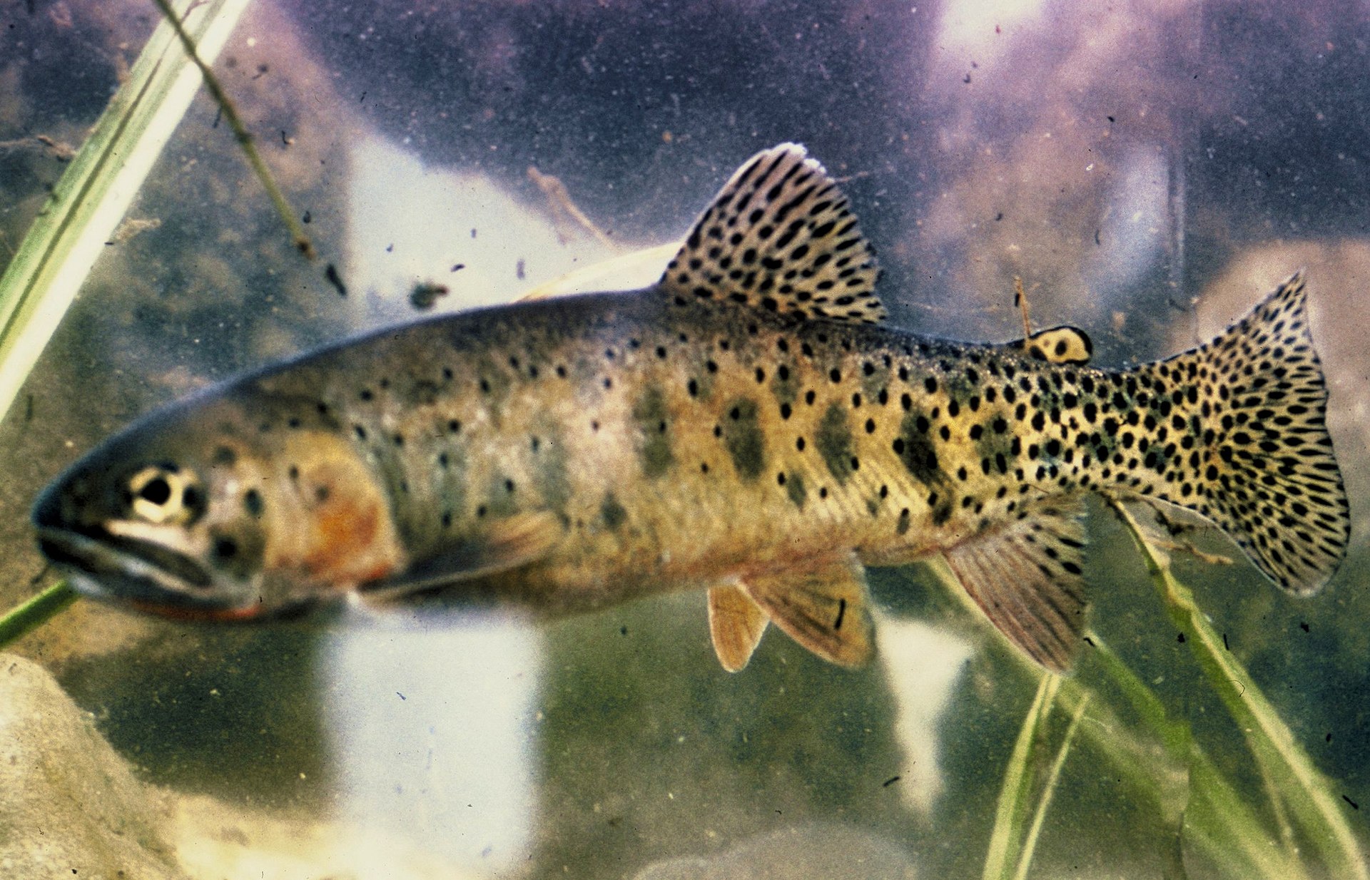
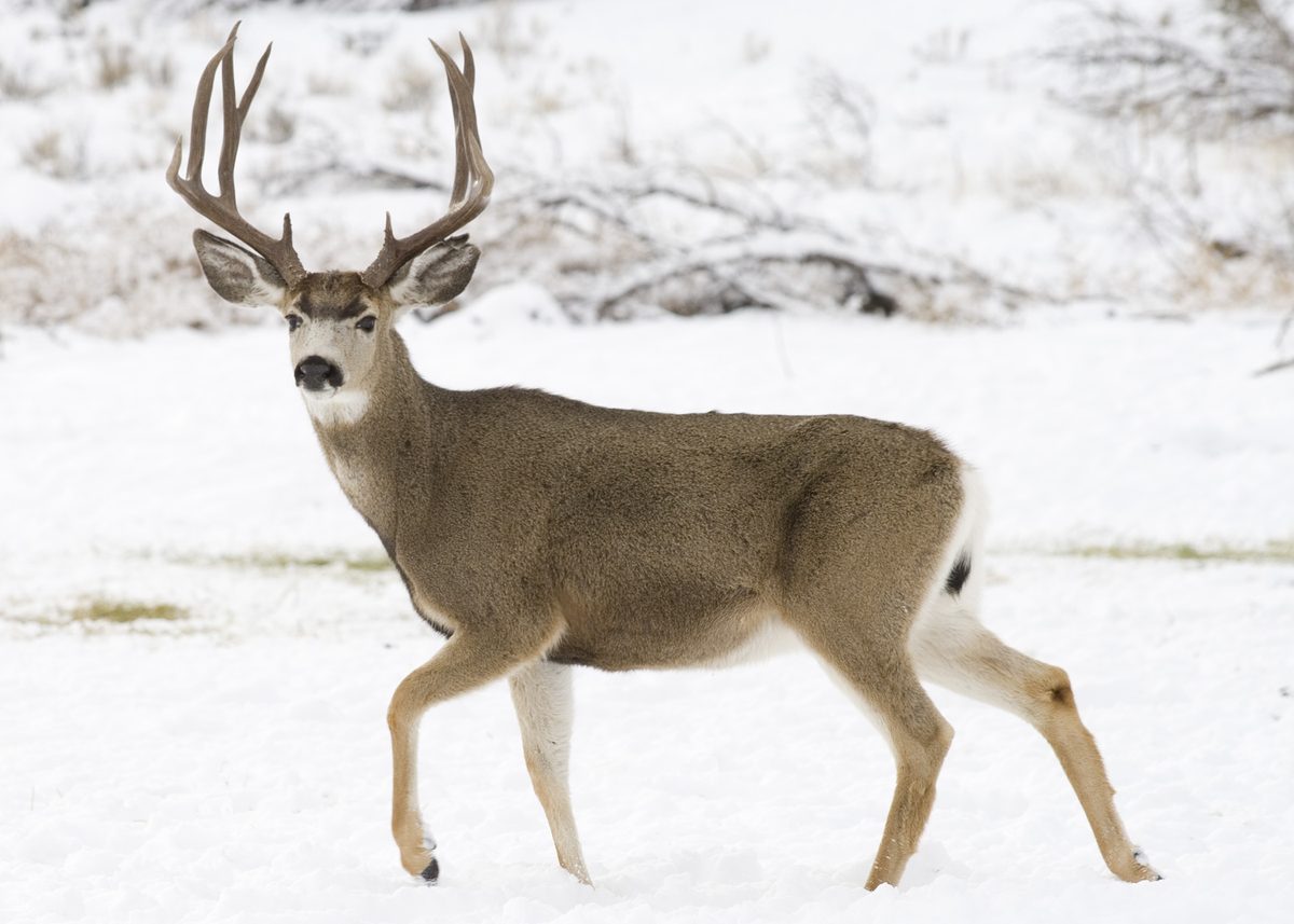
Animals around Deschutes River (Lower)






A north-flowing river through dry country
The Lower Deschutes belongs to a river system that drains much of the eastern side of Oregon’s Cascade Range and flows generally north to the Columbia River. Its setting is largely rugged and arid, a useful starting point for understanding the landscape and preparing for time outdoors. Tributaries gather water from the mountains’ drier eastern flank, linking the river to a much broader central Oregon watershed. For a visit focused on the lower river, keep the distinction between regional geography and actual access clear: proximity to the river does not establish a suitable launch or a public approach. Choose a verified access location before setting out, and pack drinking water and sun protection for the dry surroundings.
Rafting and fishing
Whitewater rafting and fishing are established summer activities on the Deschutes. They offer different ways to spend time on the water, but neither should be planned from the river’s reputation alone. A rafting trip needs a confirmed river section, suitable equipment, and an honest assessment of the group’s whitewater experience. A fishing visit likewise needs a verified place to reach the water and a check of the rules that apply there. Summer popularity is not a measure of river difficulty or a guarantee of suitable conditions on a particular day. Match the outing to current conditions and the least experienced participant, and keep the plan flexible rather than committing to an unfamiliar stretch without adequate local information.
A working river with a long travel history
The Deschutes has served as much more than an outdoor recreation destination. For thousands of years, Native Americans used it as an important route to and from the Columbia River. In the nineteenth century, it also figured in travel by pioneers on the Oregon Trail. Its valley remains a cultural heart of central Oregon, while the river supplies water for irrigation. That combination of travel history, regional identity, and practical water use gives context to a lower-river visit. Treat the corridor as a lived-in landscape rather than simply a setting for rafting or fishing. Respect land boundaries, avoid disturbing cultural features, and establish where public access is allowed before approaching the river or arranging a trip.
Sample itineraries
- One-day rafting plan · 1 day
Focus on a whitewater outing on the Lower Deschutes. Confirm a suitable river section, access arrangements, and current conditions before committing. Plan drinking water and sun protection for the rugged, arid setting.
- Two-day fishing and rafting plan · 2 days
Set aside one day for fishing and another for rafting rather than assuming a continuous overnight float. Confirm access, lodging, applicable rules, and a river section suited to the group's experience before departure.
Seasonal conditions
Spring
Spring; check current river and weather conditions
Do not assume a particular flow or whitewater difficulty based on the season. Choose the outing around current conditions and the group's river skills.
Summer
Summer
Rafting and fishing are popular summer activities on the Deschutes. The rugged, arid setting calls for deliberate drinking-water planning, sun protection, and a realistic assessment of heat exposure.
Fall
Fall; confirm conditions before departure
Check weather, river conditions, and access before planning fishing or rafting. Carry layers and keep the itinerary flexible rather than assuming summer conditions will continue.
Winter
Winter; assess weather and river conditions
Evaluate air and water temperatures before any river outing. Plan insulation and dry clothing around immersion risk, and do not assume that a summer rafting plan suits winter conditions.
| Season | Window | Conditions |
|---|---|---|
| Spring | Spring; check current river and weather conditions | Do not assume a particular flow or whitewater difficulty based on the season. Choose the outing around current conditions and the group's river skills. |
| Summer | Summer | Rafting and fishing are popular summer activities on the Deschutes. The rugged, arid setting calls for deliberate drinking-water planning, sun protection, and a realistic assessment of heat exposure. |
| Fall | Fall; confirm conditions before departure | Check weather, river conditions, and access before planning fishing or rafting. Carry layers and keep the itinerary flexible rather than assuming summer conditions will continue. |
| Winter | Winter; assess weather and river conditions | Evaluate air and water temperatures before any river outing. Plan insulation and dry clothing around immersion risk, and do not assume that a summer rafting plan suits winter conditions. |
Permits, fees & closures
Confirm current permit requirements, fishing rules, and access requirements with the managing agency before departure.
Confirm current permits, fees, and closures with the managing agency before you go.
Hazards & regulations
- Whitewater requires appropriate skills, equipment, and a river section matched to the group's ability.
- Rugged terrain can make travel near the river demanding; assess footing and access before committing.
- Arid surroundings increase the importance of carrying sufficient drinking water and limiting heat and sun exposure.
- Accidental immersion is a risk during river activities; wear a properly fitted personal flotation device when boating.
What to pack for Deschutes River (Lower)
- Properly fitted personal flotation device
- Activity-appropriate river safety equipment
- Dry bag
- Dry change of clothes
- Drinking water
- Sun hat
- Sunscreen
- Sun-protective clothing
- Footwear with reliable traction
- Weather-appropriate layers
- First-aid kit
Deschutes River (Lower) FAQ
- What activities should a trip focus on?
- Whitewater rafting and fishing are established activities on the Deschutes, especially in summer. Select a specific outing only after confirming access, conditions, and applicable rules.
- What is the surrounding landscape like?
- The Deschutes flows mostly through rugged, arid country. Plan for exposed conditions and uneven terrain rather than assuming shaded, easy riverbank access.
- Which direction does the river flow?
- The Deschutes flows generally north and is a major tributary of the Columbia River.
- Can beginners assume the whitewater is suitable?
- No. Suitability depends on the selected section, current conditions, equipment, and experience. Confirm those details before choosing a rafting outing.
- What cultural context matters here?
- The Deschutes served as an important route to and from the Columbia for Native Americans for thousands of years, and later for nineteenth-century Oregon Trail pioneers. Its valley remains a cultural heart for central Oregon.