



Where on earth
Satellite imagery flying in from a world view to Futaleufú River, Worldwide. Use the + / − buttons, or click the map to zoom with your scroll wheel; drag to pan and pinch to zoom on touch.
- Region
- Chile
- Country
- Worldwide
- Biome
- Patagonian (350 m)
- Best season
- December – March
- Difficulty
- moderate
- Backpacking
- Hiking
- Canoeing
- Kayaking
- Rafting
Key takeaways
- Biome: Patagonian (350 m)
- Best season: December – March
- Difficulty: moderate
- Top activity: backpacking
Photos of Futaleufú River
Topic summary
Turquoise Class V whitewater in Patagonia — 'Fu' is a bucket list run for expert paddlers.
Key takeaways
- Difficulty: moderate
- Best season: December – March
Intended uses
backpacking
Climate suitability
Patagonian (350 m)
Tools for a trip here
Picked for how, when and where you're going. Free, no signup.
- Sleep System Temp CalculatorCold nights: check your bag and pad add up to a safe sleep.
- Base Weight CalculatorEvery ounce is carried — total your kit and find your base weight.
- Pack Volume SizerSize the pack for your trip length and season.
- Water Purification MatrixTreat water from streams and lakes on trail.
- Layering CalculatorCold-season miles: layer for climbs and camp.
Plan with verified data
Futaleufú River trip tools
How to get there
Futaleufú River is in Chile, Worldwide. Its center point is -43.1667, -71.8500. Use these links for live turn-by-turn directions from where you are, then confirm road, trailhead and access conditions with the managing agency before you leave.
- Los Alerces National Park
The Argentine park contains the river’s glacial snowmelt headwaters. It identifies the headwaters region, not a confirmed river entry point; establish the appropriate visitor access before travelling.
- Futaleufú River valley
The valley provides the geographic focus for a river-landscape visit. No specific road approach, trailhead, or launch is identified here; verify access for the chosen location.
Popular pursuits at Futaleufú River
- Backpacking
Multi-day travel with everything on your back — see the packing blocks below.
- Hiking
Day miles on marked trail, with route notes and trail links below.
- Canoeing
Paddle routes, portages, and put-ins.
- Kayaking
Sheltered and open-water paddling lines.
- Rafting
Whitewater sections and the flows that make them run.
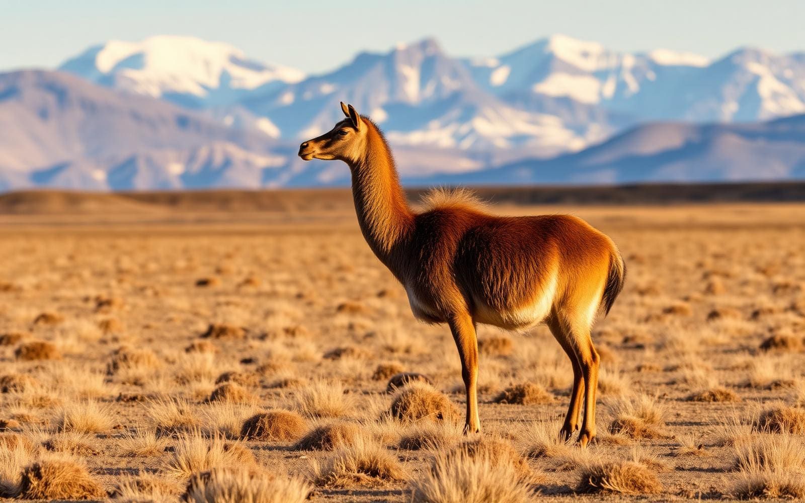
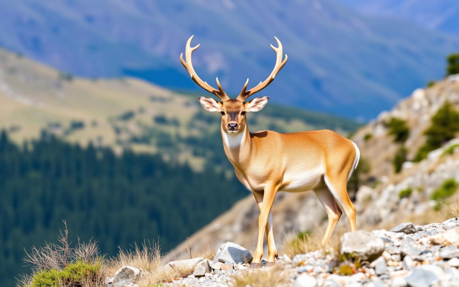
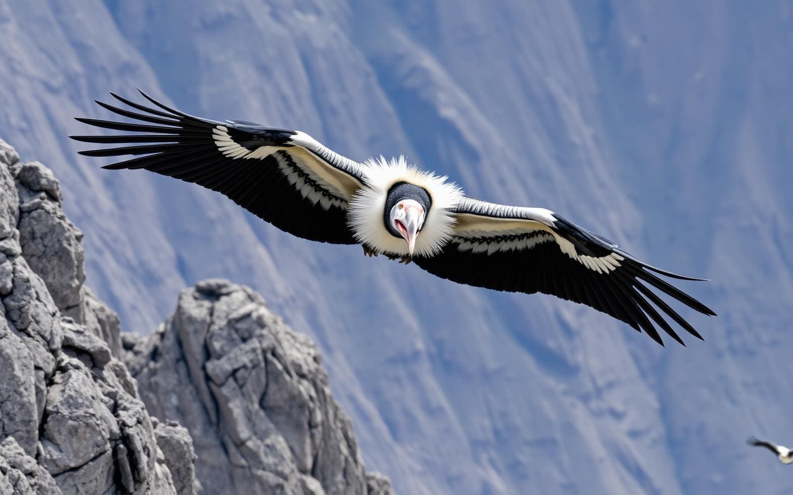
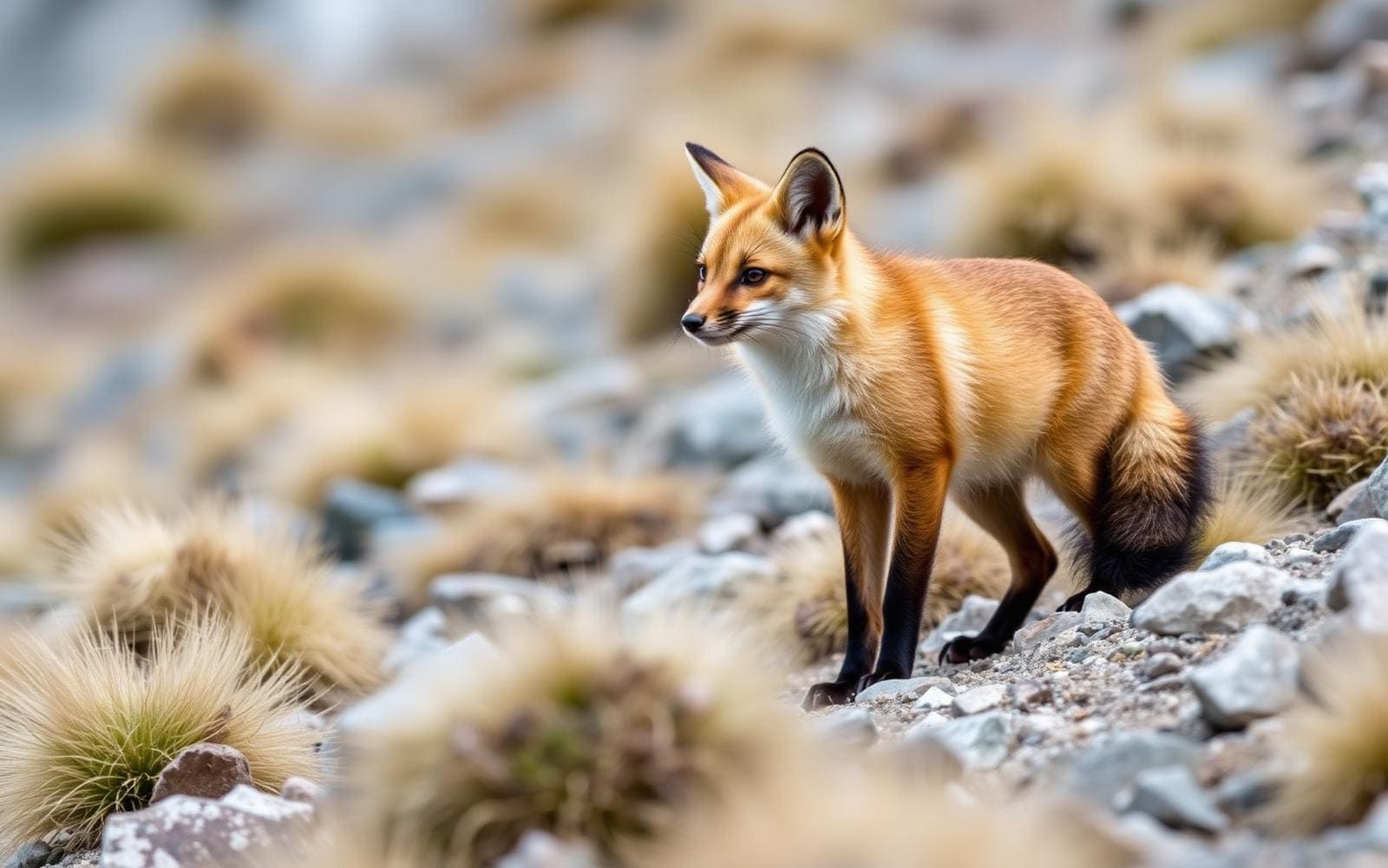
Animals around Futaleufú River

Maps, GPS & compass for this trip
Carry a waterproof paper map and a compass you can steer by, and treat the GPS as the backup — not the other way round. Buying links go to Amazon; Wild10 earns a commission at no cost to you.
Waterproof topo maps
- Waterproof topographic map — Futaleufú RiverAmazon search for waterproof, tear-resistant topo maps covering this area.
- National Geographic Trails IllustratedThe waterproof Trails Illustrated series — check for a sheet covering this area.
- Waterproof map case & compass lanyardKeep a paper map readable in rain, spray and a swamped boat.
Fishing at Futaleufú River
Planning to fish Futaleufú River, Chile? Fishing licences, open seasons and catch limits in Chile are set by the local wildlife authority and change every year — check the official source before you cast a line.
Do I need a fishing licence at Futaleufú River?
- A Chile fishing licence is normally required for anyone over the local youth age.
- Read the current Chile fishing regulations for special waters, barbless-hook or catch-and-release rules.
- Clean, drain and dry boats and gear between waters to stop invasive species.
We don't have a verified licensing link on file for Chile yet — contact the park or land manager listed on this page for current hunting and fishing rules.
Hunting near Futaleufú River
Thinking about hunting Futaleufú River, Chile? Hunting seasons, tags and draws in Chile are set by the wildlife authority each year. Confirm the rules for your species and unit before you go.
Is hunting allowed at Futaleufú River?
- Confirm the land around Futaleufú River is open to hunting and which management unit it falls in.
What do I need to hunt in Chile?
- A Chile hunting licence — most jurisdictions also require hunter education certification.
- Species tags or draw results for big game such as deer, elk, moose or bear where they occur.
- Knowledge of firearm and bow transport rules, which differ by land type and border crossing.
We don't have a verified licensing link on file for Chile yet — contact the park or land manager listed on this page for current hunting and fishing rules.
A cross-border river in northern Patagonia
The Futaleufú River belongs to northern Patagonia, but its geography extends beyond Chile. It is one of two rivers that cross the Argentina–Chile border, with headwaters in Argentina and a course that continues into Chile. That cross-border setting is central to understanding the destination: the Chilean river and valley form part of a larger system fed by glacial snowmelt on the Argentine side. Futaleufú is a Mapuche name meaning “Big River.” For trip planning, distinguish between visiting the river landscape and arranging a specific outing on the water. A river name alone does not identify a suitable launch, a walkable bank, or a continuous travel route. Choose the part of the river to visit before making detailed access or activity plans.
Glacial headwaters and a deeply cut gorge
The river’s headwaters lie in the glacial snowmelt of Los Alerces National Park in Argentina, a UNESCO-protected landscape. Farther along the river system, the gorge drops as much as 1,700 metres below the surrounding glaciated peaks. That figure describes the contrast between the gorge and the mountains around it; it is not a hiking elevation gain or a measure of river depth. Snow, ice, steep mountain relief, and the river valley define the physical setting. Plan clothing and equipment for a mountain environment, and check weather and water conditions for the particular area being visited. The headwaters and gorge offer different geographic perspectives on the same river, but neither should be treated as a defined visitor itinerary without more detailed local access information.
Planning a visit around the landscape
A useful starting point is to decide whether the focus is the Chilean river valley or the Argentine headwaters. These are distinct parts of a cross-border destination, not interchangeable access points. Keep plans specific to the chosen area, and establish legal access, ground conditions, and the suitability of any intended activity before setting out. The scale of the gorge and the presence of glaciated peaks call for mountain-weather preparation; the snowmelt-fed river also makes current water conditions relevant to any waterside outing. Do not infer boating difficulty, bank access, or a safe crossing from the broad geography. Confirm any permit requirements with the relevant managing agency. A detailed road approach, walking route, or river itinerary needs local verification before it becomes a workable trip plan.
Route options
- Argentine headwaters focus
Build a visit around the river’s origins in Los Alerces National Park. This is a geographic planning option rather than a documented walking or boating route.
- Chilean river and gorge focus
Focus on the Chilean portion of the cross-border river and its mountain setting. A specific itinerary, entry point, and suitable activity must be established locally; no continuous route is specified.
Sample itineraries
- Futaleufú Valley Introduction · 1 day
Focus a short visit on the Chilean river valley and its setting beneath glaciated peaks. Confirm suitable public access locally before choosing stops; do not assume the gorge provides an accessible route to the water.
- Two-Day Valley and River Visit · 2 days
Use one day to appreciate the valley landscape and a second for a locally confirmed river-viewing outing. Keep plans flexible for mountain weather. Establish access and activity suitability before committing to any route or on-water trip.
Seasonal conditions
Spring
Spring
The river has glacial snowmelt headwaters. Check current river and mountain conditions rather than assuming spring means easy access or suitable water conditions.
Summer
Summer
Glaciated peaks surround the gorge, and the river is fed by glacial snowmelt. Carry layers and rain protection; warm air should not be treated as evidence of warm or safe water.
Fall
Fall
Plan conservatively for changing weather in this northern Patagonian mountain setting. Confirm local conditions and access before setting out, especially for plans involving the river.
Winter
Winter
Treat cold-weather preparation as essential in this glaciated mountain setting. Confirm access and conditions locally rather than assuming valley outings or river activities remain suitable.
| Season | Window | Conditions |
|---|---|---|
| Spring | Spring | The river has glacial snowmelt headwaters. Check current river and mountain conditions rather than assuming spring means easy access or suitable water conditions. |
| Summer | Summer | Glaciated peaks surround the gorge, and the river is fed by glacial snowmelt. Carry layers and rain protection; warm air should not be treated as evidence of warm or safe water. |
| Fall | Fall | Plan conservatively for changing weather in this northern Patagonian mountain setting. Confirm local conditions and access before setting out, especially for plans involving the river. |
| Winter | Winter | Treat cold-weather preparation as essential in this glaciated mountain setting. Confirm access and conditions locally rather than assuming valley outings or river activities remain suitable. |
Permits, fees & closures
Confirm current permit requirements, access rules, and any activity permissions with the managing agency before visiting.
Confirm current permits, fees, and closures with the managing agency before you go.
Hazards & regulations
- Glacial snowmelt feeds the river; prepare for cold-water exposure and avoid unplanned immersion.
- The gorge lies as much as 1,700 metres below surrounding glaciated peaks. Do not assume direct or easy access between mountain terrain and the river.
- Mountain weather can affect comfort and outing suitability. Carry protective layers and keep plans flexible.
- River difficulty and safe entry points must be established locally before any on-water activity.
What to pack for Futaleufú River
- Waterproof outer layer
- Insulating layer
- Spare dry clothing
- Supportive footwear
- Drinking water
- Food
- First-aid kit
- Properly fitted flotation device
- Activity-appropriate cold-water protection
- Waterproof storage for essentials
Futaleufú River FAQ
- Where is the Futaleufú River?
- It is in northern Patagonia and crosses the Argentina–Chile border. A visit focused on Chile takes in part of a river system whose headwaters are in Argentina.
- Where does the river begin?
- Its headwaters come from glacial snowmelt in UNESCO-protected Los Alerces National Park in Argentina.
- What does Futaleufú mean?
- Futaleufú is an indigenous Mapuche word meaning “Big River.”
- What defines the landscape?
- The river runs through a mountain setting with glaciated peaks. Its gorge drops as much as 1,700 metres below the surrounding peaks.
- How should an on-water trip be planned?
- Confirm the intended section, current conditions, suitable access, equipment, and required experience with a qualified local operator. Do not choose a river outing from landscape descriptions alone.