



- Region
- United States
- Best for
- kayaking, camping
- Best season
- Spring, Summer
- Permits
- Free, self-issued river permits are requir…
- Managed by
- Bureau of Land Management
Plan with verified data
Grande Ronde River trip tools
Tools for a trip here
Picked for how, when and where you're going. Free, no signup.
- Water Purification MatrixDrinking from the water you paddle — pick a treatment that fits.
- Layering CalculatorCold water: dress for immersion, not just the air temperature.
- Sleep System Temp CalculatorCold nights: check your bag and pad add up to a safe sleep.
- The 10 EssentialsBackcountry safety basics, printable.
- Packing ChecklistsPrintable packing list for this kind of trip.
How to get there
The Grande Ronde River corridor can be accessed from various points in Oregon and Washington. Access points exist along the Wallowa River, which is a tributary to the Grande Ronde, and continue through the rural community of Troy. For the lower river section, access is available via Snake River Road from Asotin, Washington, leading to Heller Bar and then following the county road along the Grande Ronde.

Photo: Bureau of Land Management Oregon and Washington from Portland, America / Public domain Minam (Wallowa River)Minam, Oregon, on the Wallowa River, is a common starting point for multi-day float trips down the Grande Ronde River.
- Wildcat (Powwatka) Bridge Access
This is a popular river access point, also referred to as Powwatka Bridge.

Photo: Bureau of Land Management Oregon and Washington from Portland, America / Public domain Mud Creek AccessMud Creek is listed as a popular river access point.
- Troy Access
The remote community of Troy offers river access, with a country road paralleling the 'middle river' section.
- Mallory Bridge Access
Mallory Bridge is shown as an access point on the Grande Ronde River map.
- State Line Access
This is an access point located near the Oregon-Washington state line.
Sources: blm.gov · Wikipedia · Wikivoyage · Bureau of Land Management. Confirm road and trailhead conditions with the managing agency before you leave.
United States · United States · Season: Late spring through early fall
- Canoeing
- Kayaking
- Rafting
- Fishing
- Mountaineering
- Desert Hiking
- Canyoneering
- Wildlife Viewing
Overview
The Grande Ronde offers a classic multi-day wilderness float through a remote and beautiful canyon in northeastern Oregon. This is a journey through ponderosa pine forests and open meadows, famous for its fishing (steelhead and trout) and its sense of solitude. The whitewater is generally mild, mostly Class I-II with a few Class III rapids, making it an excellent choice for families, beginners, or those seeking a relaxing multi-day trip focused on camping, fishing, and scenery. The season is typically spring through early summer, with flows dependent on snowmelt. Access is often from Boggan's Oasis near the Washington border. Permits are required and are often secured through a lottery system for peak dates. The trade-offs include the remoteness and the potential for variable flows; too low, and it becomes a drag-fest. However, for those who value peace, quiet, and a genuine river journey over big rapids, the Grande Ronde is hard to beat. Bring your fishing rod.
Why it stands out
Scenic multi-day wilderness float
Predominantly Class I-II, suitable for beginners and families
Excellent fishing for steelhead and trout
Remote canyon scenery with ponderosa pine forests
Opportunities for solitude and wildlife viewing
Know before you go
Permits required, can be competitive for peak dates
Flows can be highly variable, check gauges before going
Remoteness requires self-sufficiency
Lack of significant whitewater for thrill-seekers
Planning notes
Where: United States, United States Best season: Late spring through early fall Good for: Kayaking, Camping Featured on: Top 10 Whitewater Rafting Trips in the Pacific Northwest (#9) Access point: Grande Ronde River, United States
Check current permits, closures and fire restrictions with the managing agency before you commit to dates.
Field notes
- Scenic multi-day wilderness float
- Predominantly Class I-II, suitable for beginners and families
- Excellent fishing for steelhead and trout
- Remote canyon scenery with ponderosa pine forests
- Opportunities for solitude and wildlife viewing
Where on earth
Satellite imagery flying in from a world view to Grande Ronde River, United States. Use the + / − buttons, or click the map to zoom with your scroll wheel; drag to pan and pinch to zoom on touch.
Coordinates
- Decimal degrees
- 45.5623, -117.7062
- Latitude (DMS)
- 45° 33′ 44.3″ N
- Longitude (DMS)
- 117° 42′ 22.1″ W
Coordinates are an access-point reference for Grande Ronde River, not a route. Carry a paper map and confirm trailhead or put-in access with the managing agency before you go.
Topic summary
The Grande Ronde offers a classic multi-day wilderness float through a remote and beautiful canyon in northeastern Oregon.
Key takeaways
- Region: United States
- Country: United States
- Best season: Late spring through early fall
- Good for: kayaking, camping
- Coordinates: 45.562, -117.706
Intended uses
- kayaking
- camping
Climate suitability
Late spring through early fall
Keep planning
Popular pursuits at Grande Ronde River
- Canoeing
Paddle routes, portages, and put-ins.
- Kayaking
Sheltered and open-water paddling lines.
- Rafting
Whitewater sections and the flows that make them run.
- Fishing
Resident gamefish, seasons, and the water that holds them.
- Mountaineering
Glacier and high-route objectives with real consequence.
- Desert Hiking
Water carries and heat management drive the plan.
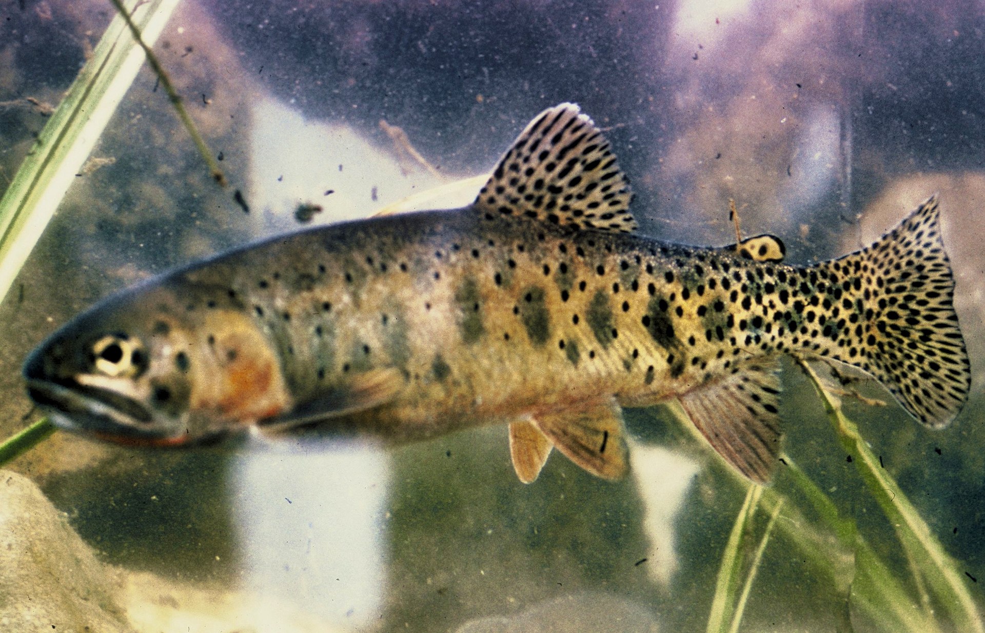
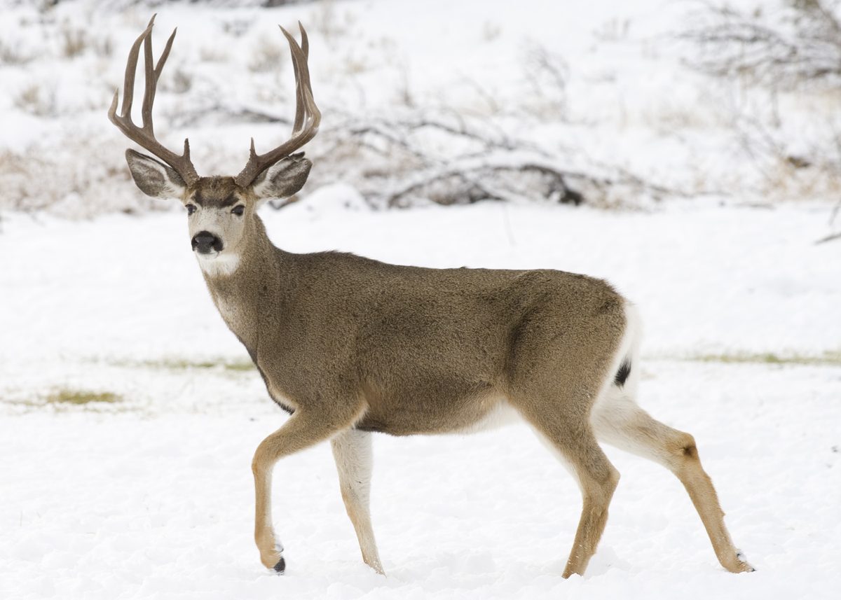
Animals around Grande Ronde River






River Overview
The Grande Ronde River flows 210 miles through northeast Oregon and southeast Washington before joining the Snake River. Its watershed is framed by the Blue and Wallowa Mountains, encompassing forested headwaters, the agricultural Grande Ronde Valley, and rugged basalt canyons. Approximately 44 miles of the Grande Ronde in Oregon, along with 10 miles of its tributary, the Wallowa River, are federally protected as National Wild and Scenic Rivers and Oregon State Scenic Waterways. These segments are managed cooperatively by the Bureau of Land Management, U.S. Forest Service, and Oregon Parks & Recreation Department as a single river corridor due to topography and access. The river's free-flowing nature supports significant spawning habitat for anadromous fish like salmon and steelhead, though populations have declined due to downstream dams and habitat degradation.
Boating and River Conditions
The Grande Ronde and Wallowa Rivers offer a popular destination for boaters, with typical trips lasting 2 to 3 days, though longer or shorter options exist. River conditions can change suddenly with water levels ranging between 2,000 and 10,000 cubic feet per second during the primary floating season. High, fast water is common in spring and early summer due to snowmelt, while shallow, slower conditions with more exposed rocks typically occur from mid-July through fall and winter. Boaters are advised to obtain current river conditions and weather information before their trip. Visitors should always be prepared for logs and other river hazards, stop within half the visible distance, and scout ahead when unsure. A recent event, the Elbow Creek Fire in 2021, burned over 22,000 acres along the river between river mile 66.5 and 53.5, and visitors are advised to avoid entering these burned areas to allow for recovery.
Visitor Considerations and Etiquette
The river corridor is a popular outdoor destination, and increasing visitor numbers can lead to user conflicts and impacts on fragile natural resources. To minimize these issues, visitors should plan trips to avoid weekends and holidays, keep groups small, and anticipate sharing the river with others. Practicing Leave No Trace principles is mandatory, which includes using fire pans and portable toilets, packing out all garbage, and treading lightly. Primitive, undeveloped camping is available on a first-come, first-serve basis, and campsite competition can be high during peak season. Some Oregon and Washington State lands may be closed for overnight use, and most private lands are closed to public entry. Visitors are encouraged to reduce pressure on recovering resources, especially in areas affected by the Elbow Creek Fire.
Access and Preparedness
Access to the Wallowa and Grande Ronde Rivers extends from Minam, Oregon, to Heller Bar, Washington, covering 10 miles of the Wallowa and 80 miles of the Grande Ronde. Other access points include Wildcat (Powwatka) Bridge, Mud Creek, Troy, Boggan’s Oasis, and Shumaker. Vehicle shuttle routes can involve rough, unmaintained, or impassable roads, requiring good map reading skills or GPS. Rural areas along the river corridor often lack gasoline, food, services, and cell phone service. Drivers should carry extra fuel, food, water, and a spare tire. The remote and rugged terrain makes search and rescue difficult, dangerous, and time-consuming. Visitors must plan ahead, use caution, and inform someone of their itinerary and expected return.
Sample itineraries
- Standard River Trip · 2 days
Typical river trips starting from Minam, Oregon, often last 2 to 3 days. Shorter or longer trips are possible with proper planning.
- Extended River Trip · 3 days
Typical river trips starting from Minam, Oregon, often last 2 to 3 days. Shorter or longer trips are possible with proper planning.
Seasonal conditions
Spring
Early spring to early summer
High, fast water conditions are common due to warmer temperatures and rainfall melting mountain snow.
Summer
Mid-July through fall
Shallow, slower conditions typically occur by mid-July, with less water and more exposed rocks being common. Visitors wishing to avoid crowds are advised to plan their trip to avoid weekends and holidays between mid-May and early July.
Fall
Fall
Shallow, slower conditions persist, with less water and more exposed rocks being common.
Winter
Winter
Shallow, slower conditions persist, with less water and more exposed rocks being common.
| Season | Window | Conditions |
|---|---|---|
| Spring | Early spring to early summer | High, fast water conditions are common due to warmer temperatures and rainfall melting mountain snow. |
| Summer | Mid-July through fall | Shallow, slower conditions typically occur by mid-July, with less water and more exposed rocks being common. Visitors wishing to avoid crowds are advised to plan their trip to avoid weekends and holidays between mid-May and early July. |
| Fall | Fall | Shallow, slower conditions persist, with less water and more exposed rocks being common. |
| Winter | Winter | Shallow, slower conditions persist, with less water and more exposed rocks being common. |
Permits, fees & closures
Free, self-issued river permits are required for all boating on the Wallowa & Grande Ronde rivers in Oregon, and when using BLM lands above the high-water mark in Washington. Confirm specific requirements with the managing agency.
Official source: Wallowa & Grande Ronde Wild and Scenic Rivers - Oregon · Verified September 11, 2026
Hazards & regulations
- Logs and other river hazards may exist at any time, requiring boaters to stop and scout.
- Burned areas from the Elbow Creek Fire (between river mile 66.5 and 53.5) have unstable soils, plants, and wildlife that need to recover; avoid entering these areas.
- Vehicle shuttle routes may include rough, unmaintained, or impassable roads.
- Natural and human-created hazards exist, including falling trees, rapids, wildlife, bridge abutments, and inclement weather.
- Cell phone service is generally not available in the remote, rugged terrain.
- Search and rescue assistance in the canyons is very difficult, dangerous, costly, and time-consuming.
What to pack for Grande Ronde River
- Extra fuel
- Extra food
- Water
- Spare tire
- Maps
- GPS
- Fire pan
- Portable toilet
Grande Ronde River FAQ
- Are permits required to boat on the Grande Ronde River?
- Yes, free, self-issued river permits are required for all boating on the Wallowa & Grande Ronde rivers in Oregon, and when using BLM lands above the high-water mark in Washington.
- What are the typical water conditions like?
- River levels typically range between 2,000 and 10,000 cubic feet per second during the primary floating season. High, fast water occurs in spring and early summer due to snowmelt, while shallow, slower conditions with more exposed rocks are common from mid-July through fall and winter.
- Is cell phone service available along the river?
- Cell phone service is generally not available in the remote, rugged terrain of the river corridor.
- What should I do if I encounter an area affected by the Elbow Creek Fire?
- Avoid entering burned areas. Soils, plants, wildlife, and other natural resources need time to recover. Minimizing disturbance helps the landscape heal.
- Are there developed campgrounds along the river?
- Primitive, undeveloped river camping is available on a first-come, first-serve basis. For a developed camping experience, consider the Oregon State Parks campground at Minam State Recreation Area, which is open seasonally.
- What principles should visitors follow to minimize their impact?
- Visitors are required to practice Leave No Trace principles, including mandatory fire pan and portable toilet use, packing out all garbage, and treading lightly on vegetation.