


Skip to content
Wild10

Destination guide

San Juan Islands Circumnavigation

A cold-water island circuit where tidal races, fog, shipping traffic, and exposed crossings require coastal expedition judgment.

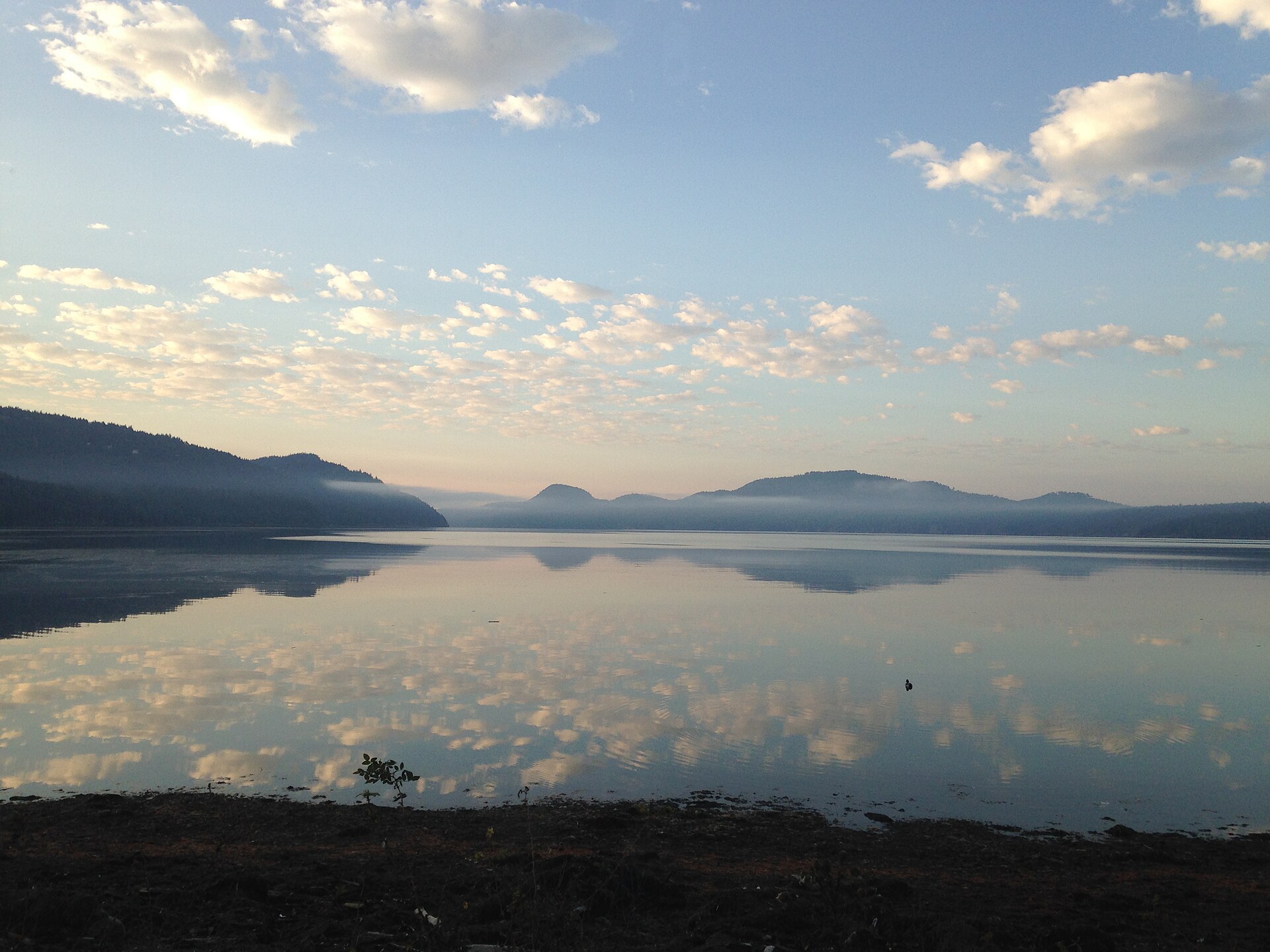
Sunrise at Crescent Beach, San Juan Islands National Monument, Washington
Sunrise at Crescent Beach, San Juan Islands National Monument, Washington. Photo: Sidney Hayworth (CC BY-SA 4.0) — source file.

Where this trip runs

Loading official route points…
Verified September 2026

There is no single official circumnavigation route — paddlers stitch their own loop between public launches and boat-in marine camps, and the currents decide the order. The points below are the anchors most loops use. Plan legs around tidal exchange in Cattle Pass, Spieden Channel and Obstruction Pass rather than around mileage.

Travel tips before you commit

Copied from the managing agency's own material. Where the agency publishes nothing, this says so.

Best months
June, July, August, September
Typical time
5–8 days
Distance
Commonly 60–100+ miles
Difficulty
hard
Permit
No permit is needed to paddle the Salish Sea itself, but overnight camping is almost entirely at Washington State Parks marine-trail sites (per-night fee, first-come) or BLM sites in the San Juan Islands National Monument with their own capacity rules. Cascadia Marine Trail sites are reserved for non-motorized, beachable craft.

WA State Parks — marine state parks

Permit window
Runs March–March.

WA State Parks — marine state parks

Cost
No permit is needed to paddle the Salish Sea itself, but overnight camping is almost entirely at Washington State Parks marine-trail sites (per-night fee, first-come) or BLM sites in the San Juan Islands National Monument with their own capacity rules.

WA State Parks — marine state parks

Hazards the agency names

  • Tidal currents that can exceed 5 knots in the passes — plan crossings at slack
  • Commercial shipping lanes in Haro and Rosario Straits
  • 45–55°F water year-round — hypothermia in minutes without a dry suit
  • Fog banks that drop visibility to zero in minutes
  • Steep chop and whitecaps on exposed crossings
  • Many marine-trail islands have no fresh water and no cell service

Local culture and history

Coast Salish waters

The Park Service states plainly that for thousands of years the Northern Straits region has been home to Coast Salish peoples, and that the temperate climate, rich soil, abundant timber and bounty of the sea fostered an advanced civilization that continues to thrive in the region.

It adds that the way the Tribes transformed the landscape to be even more abundant is also what attracted Europeans — the backdrop to the 1859 Pig War standoff between America and Britain that the park preserves at American and English camps.

Source: NPS — San Juan Island NHP, History & Culture

Getting there and who to ask

We have not verified published gateway services, shuttles or office details for this trip. Use the route map's access points and contact the managing agency directly — we will not guess at outfitters or prices.

Voices from the record

Quoted word for word from published accounts. We do not publish invented trip reports.

For thousands of years, the Northern Straits region has been home to Coast Salish peoples.

Plan this trip