



San Juan Islands Kayak
Sea kayak among orcas and lighthouse islands in Puget Sound.
Where on earth
Satellite imagery flying in from a world view to San Juan Islands Kayak, United States. Use the + / − buttons, or click the map to zoom with your scroll wheel; drag to pan and pinch to zoom on touch.
- Region
- Washington, USA
- Country
- United States
- Biome
- Salish Sea island archipelago, Washington
- Best season
- June – September
- Trip length
- 2–5 days
- Difficulty
- hard
- Canoeing
- Kayaking
- Sea Kayaking
- Beachcombing
Key takeaways
- Biome: Salish Sea island archipelago, Washington
- Best season: June – September
- Trip length: 2–5 days
- Difficulty: hard
- Top activity: kayaking
- Key hazard: Tidal currents that can exceed 5 knots in the passes — plan crossings at slack
Topic summary
Sea kayak among orcas and lighthouse islands in Puget Sound.
Key takeaways
- Difficulty: hard
- Trip length: 2–5 days
- Best season: June – September
- Friday Harbor to Jones Island and Stuart Island — the classic marine-trail loop
- Anacortes to Cypress Island — short crossings, non-motorized island trails
Intended uses
- kayaking
- camping
- wildlife viewing
Climate suitability
Salish Sea island archipelago, Washington
Verification notes
Permit source: WA State Parks — marine state parks. Last verified September 15, 2026.
Plan with verified data
San Juan Islands Kayak trip tools
Route map
Put-in, take-out and named landmarks plotted from agency coordinates, with the source behind every point.
Open the San Juan Islands Circumnavigation route mapRoute options
- Friday Harbor to Jones Island and Stuart Island — the classic marine-trail loop
- Anacortes to Cypress Island — short crossings, non-motorized island trails
- Odlin County Park on Lopez to the outer islands
Sample itineraries
- Jones & Stuart loop · 3 daysFriday Harbor to Jones Island, on to Stuart Island and Turn Point Light, and back.
- Cypress Island crossing · 2 daysAnacortes across Guemes Channel to Pelican Beach on Cypress Island.
Seasonal conditions
| Season | Window | Conditions |
|---|---|---|
| Spring | April – May | Cool (45–55°F), frequent rain and variable wind. Quiet campsites. |
| Summer | June – August | Peak season: the most stable weather of the year, but heavy recreational boat traffic. |
| Autumn | September – October | Morning fog banks, shortening daylight and cooling water. |
| Winter | November – March | Storm season with high winds and freezing spray — experts only, if at all. |
Permits & closures
No permit is needed to paddle the Salish Sea itself, but overnight camping is almost entirely at Washington State Parks marine-trail sites (per-night fee, first-come) or BLM sites in the San Juan Islands National Monument with their own capacity rules. Cascadia Marine Trail sites are reserved for non-motorized, beachable craft.
Official permit source: WA State Parks — marine state parks · Verified 2026-09-15
Closures & advisories: Washington State Parks alerts
Safety & stewardship
- Tidal currents that can exceed 5 knots in the passes — plan crossings at slack
- Commercial shipping lanes in Haro and Rosario Straits
- 45–55°F water year-round — hypothermia in minutes without a dry suit
- Fog banks that drop visibility to zero in minutes
- Steep chop and whitecaps on exposed crossings
- Many marine-trail islands have no fresh water and no cell service
Water: Most marine-trail islands are dry — there is no potable water on sites like Blind, James or Posey. Carry at least a gallon per person per day and know the tide and current predictions for every crossing.
Wildlife: Southern Resident killer whales, harbor seals, Steller sea lions and bald eagles. Federal 'Be Whale Wise' rules require staying hundreds of yards from orcas — know the distances before you launch.
Emergency planning: Monitor VHF Channel 16, carry a PLB or satellite messenger, and file a float plan with a shore contact. The Coast Guard covers these waters but you must be able to call and be found.
Leave No Trace: Use designated Cascadia Marine Trail sites, pack out all trash, use the composting toilets where provided, and give seal haul-outs a wide berth.
Popular pursuits at San Juan Islands Kayak
- Canoeing
Paddle routes, portages, and put-ins.
- Kayaking
Sheltered and open-water paddling lines.
- Sea Kayaking
Coastal crossings, tides, and protected camps.
- Beachcombing
Tide-line walking between camps.
Animals around San Juan Islands Kayak


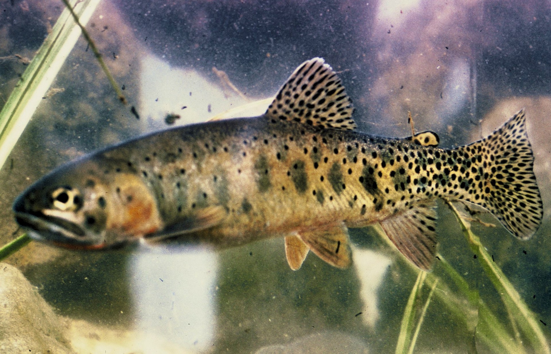

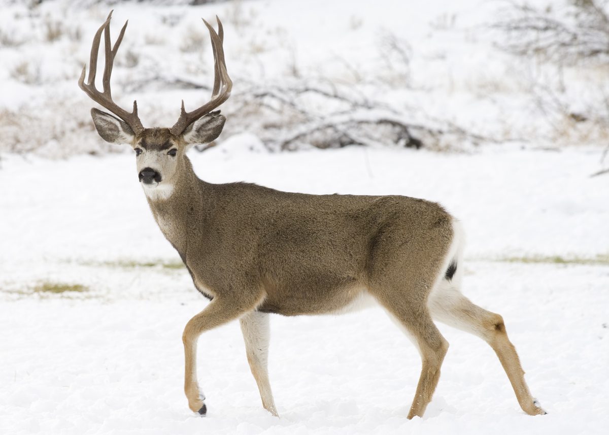



Packing checklist
- Dry suit or 5mm wetsuit
- PFD with whistle and strobe
- Bilge pump
- Spare paddle
- NOAA chart 18421
- Compass
- GPS
- Waterproof watch for tide timing
- Full water bladders
- Raccoon-proof food bags
- Multi-tool
Recommended gear
Featured in these Top 10 lists
- Top 10 Extreme Canoe Trips in the U.S. — ranked #8
Browse every destination we cover in the Destination Hub.