



- Region
- Alberta
- Country
- Canada
- Best for
- climbing, hiking
- Best season
- Spring, Summer
- Permits
- Confirm current permit and access requirem…
Plan with verified data
Highwood Pass Area trip tools
Tools for a trip here
Picked for how, when and where you're going. Free, no signup.
How to get there
The supported regional approach is west from Calgary on the Trans-Canada Highway (Highway 1). Kananaskis Country’s northern boundary is about half an hour from the city; this is not a drive time to Highwood Pass. Confirm the final road approach separately before departure.
- Calgary
Regional starting point east of Kananaskis Country, with the described approach heading west on the Trans-Canada Highway. This is not a Highwood Pass trailhead.
- Kananaskis Country northern boundary
Regional entry area reached from Calgary along Highway 1. Do not treat arrival at this boundary as arrival at Highwood Pass.
Sources: parks.canada.ca · Wikipedia · Wikivoyage. Confirm road and trailhead conditions with the managing agency before you leave.
Alberta · Canada · Season: Winter (Dec–Mar)
- Climbing
- Winter Camping
- Skiing
- Hiking
Overview
Highwood Pass, located along Highway 40 in Kananaskis Country, is a destination that offers unique ice climbing opportunities, particularly before or after the main portion of Highway 40 closes for the winter. This area tends to see significant snow, providing a more committing experience with longer, often more challenging approaches, typically on skis. The ice here can be magnificent, but it demands patience and solid winter backcountry skills. When the conditions are right, the solitude and quality of the climbing can be outstanding, making it a worthy, albeit seasonal, objective.
The nearest services are in Bragg Creek or Canmore, but plan to be self-sufficient. The climbing season is highly dependent on the Highway 40 closure, generally accessible early winter (November) and late spring (April/May) via the south end, or requiring a very long ski approach in the heart of winter. Routes are often WI4-WI5+, suitable for experienced climbers comfortable with long approaches and significant avalanche terrain. Kananaskis Conservation Pass is required for vehicles. Trade-offs include variable access due to road closures, deep snow making approaches challenging, and high avalanche danger. This area is for those who enjoy the journey as much as the climb itself.
Planning notes
Where: Alberta, Canada Best season: Winter (Dec–Mar) Good for: Climbing, Hiking Featured on: Top 10 Ice Climbing Destinations in the Canadian Rockies (#10) Access point: Highwood Pass, Kananaskis, AB T3Z 0C4, Canada
Check current permits, closures and fire restrictions with the managing agency before you commit to dates.
Where on earth
Satellite imagery flying in from a world view to Highwood Pass Area, Canada. Use the + / − buttons, or click the map to zoom with your scroll wheel; drag to pan and pinch to zoom on touch.
Coordinates
- Decimal degrees
- 50.5994, -114.9878
- Latitude (DMS)
- 50° 35′ 58.0″ N
- Longitude (DMS)
- 114° 59′ 16.0″ W
Coordinates are an access-point reference for Highwood Pass Area, not a route. Carry a paper map and confirm trailhead or put-in access with the managing agency before you go.
Topic summary
Highwood Pass, located along Highway 40 in Kananaskis Country, is a destination that offers unique ice climbing opportunities, particularly before or after the main portion of Highway 40 closes for the winter.
Key takeaways
- Region: Alberta
- Country: Canada
- Best season: Winter (Dec–Mar)
- Good for: climbing, hiking
- Coordinates: 50.599, -114.988
Intended uses
- climbing
- hiking
Climate suitability
Winter (Dec–Mar)
Keep planning
Popular pursuits at Highwood Pass Area
- Climbing
Rock and alpine lines with approach beta.
- Winter Camping
Cold-season travel and camp craft; layering matters more than mileage.
- Skiing
Ski-touring access when the road closes for the season.
- Hiking
Day miles on marked trail, with route notes and trail links below.
Animals around Highwood Pass Area

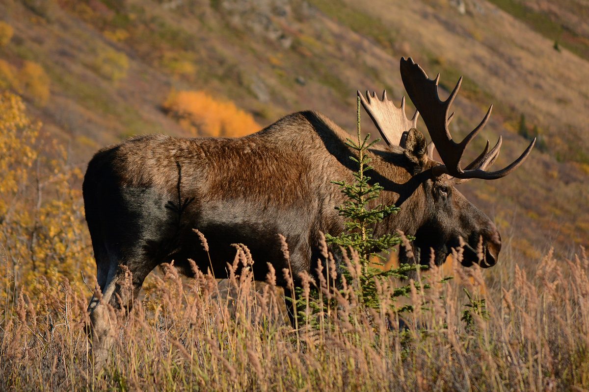
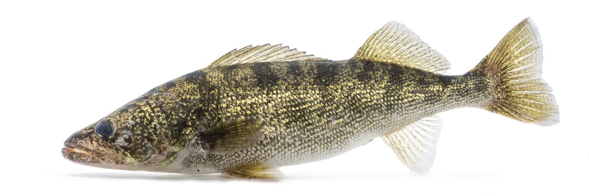

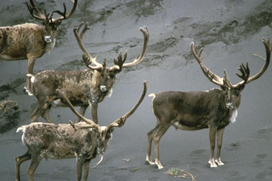
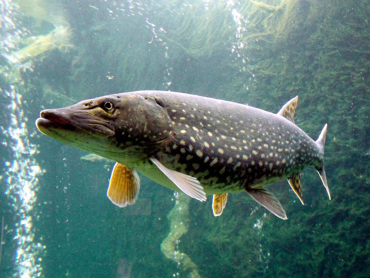


Highwood Pass Area: regional setting
Planning for the Highwood Pass Area starts with the wider geography of Kananaskis Country, west of Calgary in Alberta’s foothills and front ranges of the Canadian Rockies. Kananaskis occupies the eastern slopes of the Rockies, with its western edge bordering Banff National Park and the Alberta–British Columbia boundary. That regional setting is useful for orientation, but it is not a substitute for directions to the pass itself. Treat the approach to Kananaskis and the final approach to Highwood Pass as separate planning tasks. Before setting out, establish the exact destination, its road access and an appropriate turnaround plan. A regional map can help place the trip in context; detailed local mapping is needed before choosing a trail or committing to a mountain outing.
A mixed-use mountain landscape
Kananaskis Country is not a single park with one uniform set of rules. It covers approximately 4,000 square kilometres and includes both public land and protected areas. Established by the Alberta Government in 1978, the region accommodates recreation alongside forestry, cattle grazing, water use, oil and gas activities, power generation and residential communities. For a Highwood Pass trip, the practical point is to identify the land designation and responsible authority for the exact place being visited rather than applying assumptions across all of Kananaskis. Its boundary with Banff National Park also does not make the two areas administratively interchangeable. Confirm current access requirements and any permit or pass obligations with the managing agency for the intended destination before departure.
Approach and trip preparation
Calgary is the regional starting point described for access to Kananaskis Country. The northern boundary of Kananaskis is about half an hour west of the city along the Trans-Canada Highway, Highway 1. That timing applies only to the regional boundary, not to Highwood Pass or a trailhead. Kananaskis has fewer services than nearby Banff National Park, so arrange food, drinking water, navigation and essential supplies before leaving a serviced area. For an outing in the Rockies, carry weather protection and layers suited to changing mountain conditions. Choose the day’s objective only after confirming its route, access and current conditions. Keep the schedule flexible enough to change plans if the final approach or intended walking route cannot be confirmed.
Route options
- Trans-Canada Highway (Highway 1) regional approach
Travel west from Calgary toward the northern boundary of Kananaskis Country. This describes only the regional approach, not a complete driving route to Highwood Pass.
- Kananaskis Country onward route planning
Confirm a mapped onward route to Highwood Pass before travelling beyond the regional approach. No pass-specific trail itinerary or final road connection is established here.
Sample itineraries
- Highwood Pass Area: One-Day Planning Outline · 1 day
Keep the outing flexible until local access and route conditions are confirmed. Plan a self-contained day in the wider Kananaskis wilderness setting, with food, water and navigation supplies. Choose a specific route only after checking with the managing agency.
- Highwood Pass Area: Two-Day Planning Outline · 2 days
Allow two separate day outings rather than assuming an overnight route is available. Use the first day for an introduction to the area and the second for a locally confirmed outing suited to the group. Verify accommodation or camping arrangements before departure.
Seasonal conditions
Spring
Spring
Confirm pass access and local conditions before choosing an outing. A spring date alone is not enough to establish suitability in this Canadian Rockies wilderness setting.
Summer
Summer
Check the local forecast and route status rather than assuming summer guarantees suitable conditions. Carry essential supplies; Kananaskis has fewer services than nearby Banff National Park.
Fall
Fall
Match the outing to current mountain weather and available daylight. Confirm local access before departure and keep plans flexible.
Winter
Winter
Do not assume road or trail access. Obtain current local guidance before planning a winter outing, and match equipment and experience to the confirmed conditions.
| Season | Window | Conditions |
|---|---|---|
| Spring | Spring | Confirm pass access and local conditions before choosing an outing. A spring date alone is not enough to establish suitability in this Canadian Rockies wilderness setting. |
| Summer | Summer | Check the local forecast and route status rather than assuming summer guarantees suitable conditions. Carry essential supplies; Kananaskis has fewer services than nearby Banff National Park. |
| Fall | Fall | Match the outing to current mountain weather and available daylight. Confirm local access before departure and keep plans flexible. |
| Winter | Winter | Do not assume road or trail access. Obtain current local guidance before planning a winter outing, and match equipment and experience to the confirmed conditions. |
Permits, fees & closures
Confirm current permit and access requirements for the Highwood Pass area with the managing agency.
Official source: Passes, permits and fees - Parks Canada · Verified September 19, 2026
Hazards & regulations
- Limited services: Kananaskis offers fewer services than nearby Banff National Park. Carry essentials rather than relying on finding supplies.
- Wilderness setting: the wider region is a large network of mountain parks. Choose an outing that matches the group's navigation skills and ability to travel independently.
- Mixed land uses: the wider Kananaskis region includes forestry, cattle grazing and resource extraction alongside recreation. Check the designation and local guidance for the area being visited.
What to pack for Highwood Pass Area
- Map covering the confirmed outing
- Offline navigation
- Current access information
- Written trip plan shared with a trusted contact
- Layered clothing suited to the forecast
- Weather-resistant outer layer
- Footwear suited to the selected terrain
- Drinking water
- Food and extra snacks
- First-aid kit
- Headlamp
- Emergency shelter
Highwood Pass Area FAQ
- What is the broader regional setting?
- Kananaskis Country lies west of Calgary in Alberta's foothills and front ranges of the Canadian Rockies. It includes wilderness parks, public land and protected areas.
- Is Kananaskis Country one park?
- No. It is a multi-use region with several land designations. Recreation shares the wider landscape with forestry, cattle grazing, power generation and other uses, so requirements should be checked for the specific location.
- Can services be relied on throughout the area?
- Plan conservatively. Kananaskis has fewer services than nearby Banff National Park. Confirm supplies and accommodation before departure, and carry what the outing requires.
- Which Highwood Pass route should be chosen?
- Get locally confirmed route details before deciding. Establish the access point, terrain, expected duration and current conditions, then choose an outing that fits the group's experience.
- What should be confirmed before travelling?
- Check road and trail access, weather, applicable permits, and any overnight arrangements with the managing agency. Do not assume requirements for nearby Banff National Park apply to the intended outing.