



- Region
- Montana
- Country
- United States
- Best for
- hiking, wildlife viewing, camping
- Best season
- Spring, Summer
- Permits
- Confirm applicable permits and hunting req…
Plan with verified data
Hunting District 590 (Missouri Breaks) trip tools
Tools for a trip here
Picked for how, when and where you're going. Free, no signup.
- Sleep System Temp CalculatorCold nights: check your bag and pad add up to a safe sleep.
- Bear Country Food StorageBear country: canister, Ursack or hang, and the local rules.
- The 10 EssentialsDay on trail: carry the ten essentials.
- Water Purification MatrixRefilling on trail: compare treatment options.
- Layering CalculatorCool temps: build a layer stack for the climb and the summit.
How to get there
Hunting District 590 is located in Central Montana, roughly north and northeast of the city of Billings, extending east from near Lewistown. Key towns in or bordering the district include Roundup, Lavina, and Melstone. Access to parts of the Missouri Breaks National Back Country Byway, which traverses the Upper Missouri River Breaks National Monument, can be gained from Winifred by taking the D-Y Trail gravel road. The byway is unpaved and many sections are recommended for high clearance 4x4 vehicles.
- Missouri Breaks National Back Country Byway (Northern Route from Winifred)
From Winifred, take the D-Y Trail gravel road 42.6 miles generally northeast, then continue generally southeast on Lower Two Calf Road/Two Calf Trail for 22.3 miles until reaching Knox Ridge Road. Continue east 5.8 miles to U.S. Highway 191/James Kipp Recreation Area.
- Missouri Breaks National Back Country Byway (Southern Route from Winifred)
From Winifred, start traveling generally northeast on the D-Y Trail gravel road for 17.5 miles to the junction of Knox Ridge Road. Continue east for 15 miles to the monument/wildlife refuge boundary, then an additional 11.6 miles east until reaching the Middle Two Calf Road intersection. From here, you can continue east 5.9 miles to the intersection with Lower Two Calf Road, and then another 5.8 miles to U.S. Highway 191/James Kipp Recreation Area.
Sources: Wikipedia · Wikivoyage · forwardtousa.com · montanahuntingguide.com. Confirm road and trailhead conditions with the managing agency before you leave.
Montana · United States · Season: Fall hunting seasons
- Hunting
- Hiking
- Wildlife Viewing
- Canoeing
- Fishing
Overview
HD 590, within the Upper Missouri River Breaks National Monument, presents a completely different elk hunting challenge: open country hunting in rugged badlands. This unit is known for its incredible scenery and unique elk behavior in the broken coulees and sagebrush. While not mountainous, the terrain is still physically demanding, with steep, slippery clay hills, deep draws, and vast distances. Public access is good within the monument, but surrounding private ranches can make entry tricky; careful study of maps is essential. Elk here are often visible from long distances, but getting within range without being spotted is a true art. Long-range shooting skills and patience are paramount. This is a limited-entry draw unit for general tags, meaning it has higher success rates due to fewer hunters. Trophy potential can be exceptional. Archery hunters must master stalking in open country. Rifle hunters will rely heavily on glassing and making long shots. Water can be scarce in some areas.
Best access is often from the Fort Peck area or via C.M. Russell National Wildlife Refuge roads (check regulations). Ideal seasons are the early archery season for spot-and-stalk, or any part of the limited-entry rifle season. This unit is for patient, skilled hunters with excellent glassing and stalking abilities, and proficiency with long-range shooting. Permits are special draw tags. Trade-offs include the difficulty of drawing a tag, challenging open-country stalking, and potential for extreme weather (hot, cold, windy).
Planning notes
Where: Montana, United States Best season: Fall hunting seasons Good for: Hiking, Wildlife Viewing, Camping Featured on: Top 10 Public Land Elk Units in Montana: High-Percentage Archery and Rifle (#8) Access point: Upper Missouri River Breaks National Monument, 920 NE Main St, Lewistown, MT 59457, USA
Check current permits, closures and fire restrictions with the managing agency before you commit to dates.
Where on earth
Satellite imagery flying in from a world view to Hunting District 590 (Missouri Breaks), United States. Use the + / − buttons, or click the map to zoom with your scroll wheel; drag to pan and pinch to zoom on touch.
Coordinates
- Decimal degrees
- 47.8046, -109.0549
- Latitude (DMS)
- 47° 48′ 16.5″ N
- Longitude (DMS)
- 109° 3′ 17.5″ W
Coordinates are an access-point reference for Hunting District 590 (Missouri Breaks), not a route. Carry a paper map and confirm trailhead or put-in access with the managing agency before you go.
Topic summary
HD 590, within the Upper Missouri River Breaks National Monument, presents a completely different elk hunting challenge: open country hunting in rugged badlands.
Key takeaways
- Region: Montana
- Country: United States
- Best season: Fall hunting seasons
- Good for: hiking, wildlife viewing, camping
- Coordinates: 47.805, -109.055
Intended uses
- hiking
- wildlife viewing
- camping
Climate suitability
Fall hunting seasons
Keep planning
Popular pursuits at Hunting District 590 (Missouri Breaks)
- Hunting
Seasons, tags, and the units that hold animals.
- Hiking
Day miles on marked trail, with route notes and trail links below.
- Wildlife Viewing
Best light, best season, and where animals move.
- Canoeing
Paddle routes, portages, and put-ins.
- Fishing
Resident gamefish, seasons, and the water that holds them.
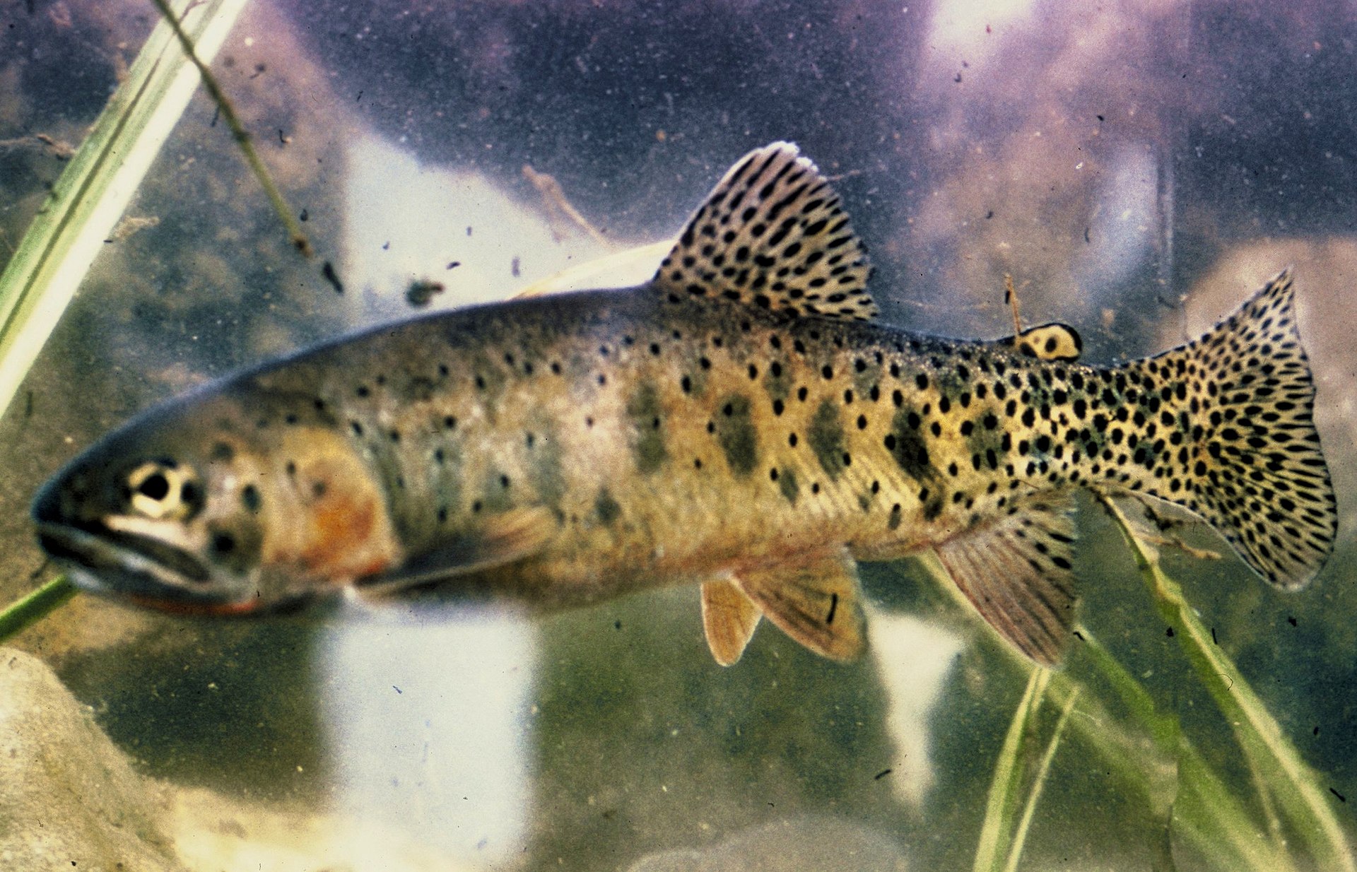
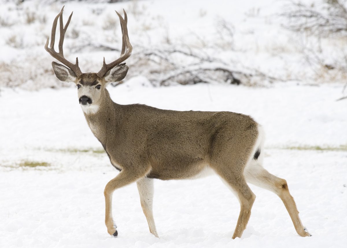
Animals around Hunting District 590 (Missouri Breaks)






Destination identification
Hunting District 590 (Missouri Breaks) is the requested destination in Montana, United States, but its boundaries, location within the region, and relationship to the Missouri Breaks are not established here. Those details are necessary before giving practical directions or recommending an outing. A hunting district name should not be treated as a trailhead, a public access designation, or confirmation that travel is allowed across every parcel within it. Before building an itinerary, confirm the current district designation and obtain a boundary map from the responsible agency. Match the intended destination to that map rather than relying on the district number alone. No specific terrain, recreational opportunity, or nearby service town can be confidently described for this destination.
Access and route planning
No verified access point or route can be identified for this destination here. Giving a named road, trailhead, river landing, or driving time would imply a connection that has not been established. A useful access plan needs a confirmed starting point, an identified destination within the district, and a legally usable connection between them. Ask the responsible agency to distinguish public access from any approach requiring landowner permission, and confirm whether the intended approach suits the planned activity. Do not assume that a place mentioned elsewhere in Montana is a gateway to this district. Route distances, difficulty ratings, and travel times remain unspecified rather than being estimated without a confirmed route.
Confirm before committing to a trip
The managing agency has not been verified for this destination, so agency-specific rules and contact details cannot be supplied. Confirm the responsible authority before making travel arrangements or choosing an activity. For a hunting trip, request the current district map and the rules applicable to the intended hunt; do not infer eligibility or access rights from the district name. For another kind of outing, ask separately whether that activity is allowed at the chosen location. This profile does not establish permit requirements, fees, seasonal access, or operating dates. It also does not identify destination-specific hazards or facilities. Resolve those gaps for the exact place being visited before treating an itinerary as ready to use.
Sample itineraries
- One-day visit planning outline · 1 day
Before setting out for Hunting District 590, confirm district boundaries, legal access and a suitable destination with the managing agency. A specific route cannot be established here; keep the day uncommitted until those details are verified.
- Two-day visit planning outline · 2 days
Confirm access and an overnight arrangement before building a two-day trip. Choose daily destinations only after verifying district boundaries and current conditions. No specific route or overnight location is established here.
Seasonal conditions
Spring
Timing not established.
District-specific spring conditions are not established. Confirm weather and access before choosing travel dates.
Summer
Timing not established.
District-specific summer conditions are not established. Confirm weather and access before choosing travel dates.
Fall
Timing not established.
District-specific fall conditions and hunting dates are not established. Confirm current conditions and applicable regulations before planning.
Winter
Timing not established.
District-specific winter conditions are not established. Confirm weather and access before choosing travel dates.
| Season | Window | Conditions |
|---|---|---|
| Spring | Timing not established. | District-specific spring conditions are not established. Confirm weather and access before choosing travel dates. |
| Summer | Timing not established. | District-specific summer conditions are not established. Confirm weather and access before choosing travel dates. |
| Fall | Timing not established. | District-specific fall conditions and hunting dates are not established. Confirm current conditions and applicable regulations before planning. |
| Winter | Timing not established. | District-specific winter conditions are not established. Confirm weather and access before choosing travel dates. |
Permits, fees & closures
Confirm applicable permits and hunting requirements with the managing agency before travel.
Confirm current permits, fees, and closures with the managing agency before you go.
Hazards & regulations
- District-specific hazards are not established; obtain a local safety briefing before setting out.
- Legal access and district boundaries remain unverified; do not treat a planning outline as access authorization.
- Route conditions remain unverified; no route described here should be treated as field-ready.
What to pack for Hunting District 590 (Missouri Breaks)
- Current district boundary map, verified with the managing agency
- Confirmed access information
- Current regulations for the intended activity
- Managing agency contact details
- Any required authorization, once confirmed
Hunting District 590 (Missouri Breaks) FAQ
- Is there enough information here to choose a route?
- No. District-specific routes, access points and distances are not established. Confirm these before making a field itinerary.
- Can Glendive be treated as an access base?
- Glendive is an eastern Montana agricultural and ranching hub between the Yellowstone River and the Badlands. Its relationship to Hunting District 590 is not established, so it should not be presented as a verified access base.
- What permits or hunting permissions are required?
- Confirm requirements with the managing agency. No district-specific permit terms, fees or reservation procedures are established here.
- Which wildlife species can visitors expect?
- No district-specific wildlife information is established. Confirm species information and any hunting rules before planning around a particular animal.
- When is the best time to visit?
- A reliable seasonal recommendation cannot be made here. Choose dates after confirming local conditions, legal access and any activity-specific season dates.