



- Region
- California
- Country
- United States
- Best for
- canoeing, camping, fishing
- Best season
- Spring, Summer
- Permits
- Visitor permits are required to enter the …
- Managed by
- U.S. Forest Service, Superior National Forest, for BWCAW access and wilderness campsites; Minnesota Department of Natural Resources for Lake Isabella State Forest.
Plan with verified data
Isabella Lake Loop (via Isabella Lake Entry Point 35) trip tools
Tools for a trip here
Picked for how, when and where you're going. Free, no signup.
- Water Purification MatrixDrinking from the water you paddle — pick a treatment that fits.
- Layering CalculatorCold water: dress for immersion, not just the air temperature.
- Sleep System Temp CalculatorCold nights: check your bag and pad add up to a safe sleep.
- The 10 EssentialsBackcountry safety basics, printable.
- Packing ChecklistsPrintable packing list for this kind of trip.
How to get there
For Minnesota’s Lake Isabella Entry Point 35, access is via Tomahawk Road (FS 377), reached from Highway 1 at a point 18 miles south of Ely. The entry-point parking lot is southwest of Lake Isabella. This is not an approach to a California destination.
- Isabella Lake Entry Point 35
Canoe entry to the BWCAW from the parking area on Lake Isabella’s southwest shore, accessed via Tomahawk Road (FS 377).
- Powwow Hiking Trail trailhead
Walking access from the same parking lot southwest of Lake Isabella. Travel is recommended only as far as Pose Lake; confirm current trail conditions before setting out.
Sources: files.dnr.state.mn.us · Wikipedia · Wikivoyage. Confirm road and trailhead conditions with the managing agency before you leave.
California · United States · Season: Late spring through early fall
- Canoeing
- Kayaking
- Hunting
- Birdwatching
- Wildlife Viewing
- Backpacking
- Fishing
Overview
This loop is a classic for a reason, but it still maintains a more secluded feel than many central BWCA routes. The access from the south provides a gentler entry into the wilderness. Isabella Lake itself is large and can get choppy, but the surrounding smaller lakes and river sections offer sheltered paddling. You'll move through a mix of burned areas from the 2011 Pagami Creek fire and untouched forest, offering a unique perspective on wilderness regeneration. The portages here are generally well-maintained and on the shorter side, making it an excellent choice for a multi-day trip without excessive exertion. Wildlife is abundant, particularly moose and various bird species. The nearest town for supplies and outfitters is Isabella, though Ely or Grand Marais are larger hubs. Ideal season is late May to early October, with fall offering fewer bugs and stunning colors. Be prepared for black flies and mosquitos in early summer. Campsites are generally well-spaced, but planning for midweek travel helps avoid crowds.
Planning notes
Where: California, United States Best season: Late spring through early fall Good for: Canoeing, Camping, Fishing Featured on: Top 10 Flatwater Canoe Routes: Boundary Waters Multi-day (#1) Access point: Isabella Lake, California, USA
Check current permits, closures and fire restrictions with the managing agency before you commit to dates.
Where on earth
Satellite imagery flying in from a world view to Isabella Lake Loop (via Isabella Lake Entry Point 35), United States. Use the + / − buttons, or click the map to zoom with your scroll wheel; drag to pan and pinch to zoom on touch.
Coordinates
- Decimal degrees
- 35.6691, -118.4338
- Latitude (DMS)
- 35° 40′ 8.9″ N
- Longitude (DMS)
- 118° 26′ 1.8″ W
Coordinates are an access-point reference for Isabella Lake Loop (via Isabella Lake Entry Point 35), not a route. Carry a paper map and confirm trailhead or put-in access with the managing agency before you go.
Topic summary
This loop is a classic for a reason, but it still maintains a more secluded feel than many central BWCA routes.
Key takeaways
- Region: California
- Country: United States
- Best season: Late spring through early fall
- Good for: canoeing, camping, fishing
- Coordinates: 35.669, -118.434
Intended uses
- canoeing
- camping
- fishing
Climate suitability
Late spring through early fall
Keep planning
Popular pursuits at Isabella Lake Loop (via Isabella Lake Entry Point 35)
- Canoeing
Paddle routes, portages, and put-ins.
- Kayaking
Sheltered and open-water paddling lines.
- Hunting
Seasons, tags, and the units that hold animals.
- Birdwatching
Migration windows and the habitat that concentrates birds.
- Wildlife Viewing
Best light, best season, and where animals move.
- Backpacking
Multi-day travel with everything on your back — see the packing blocks below.
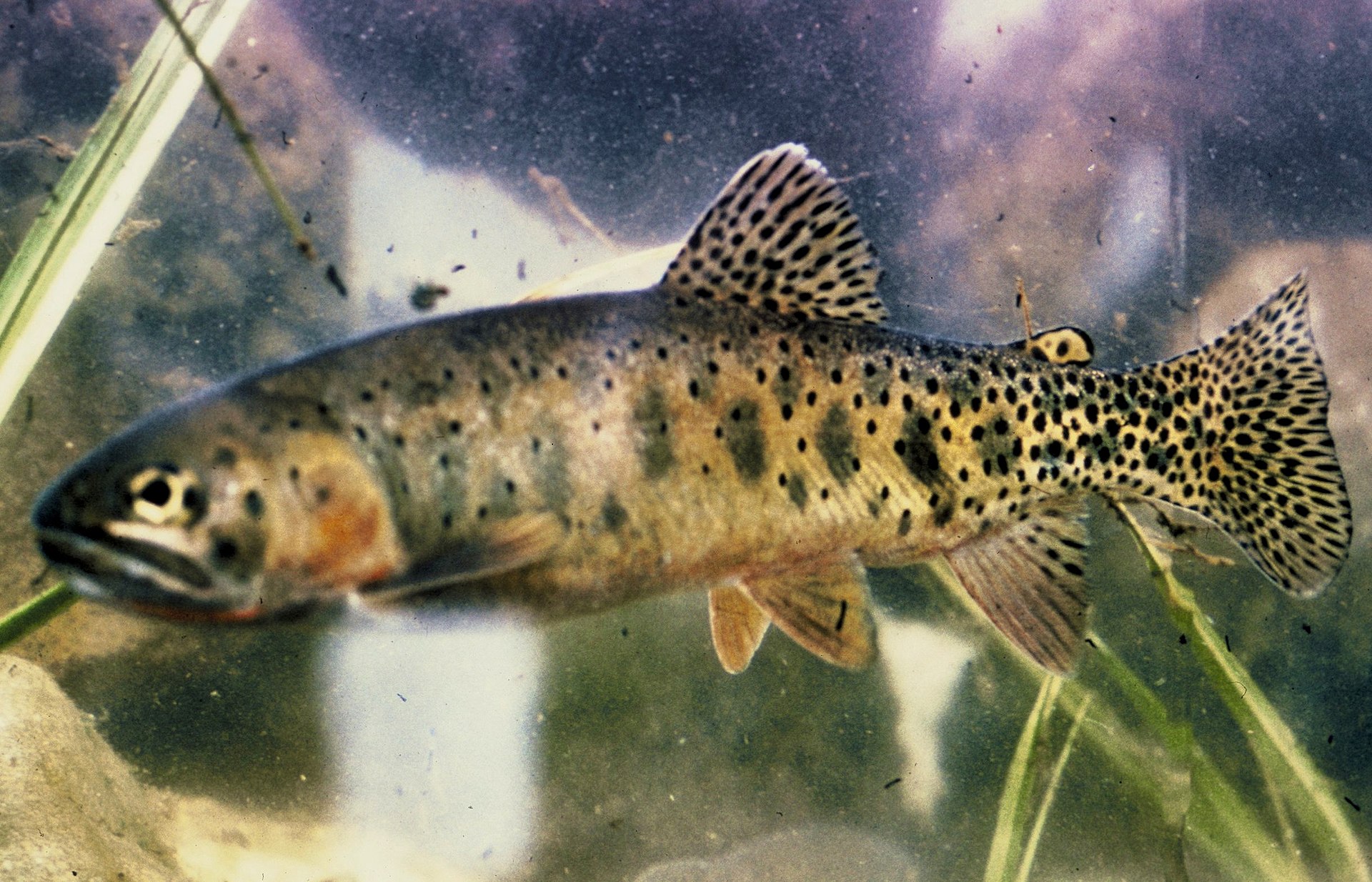
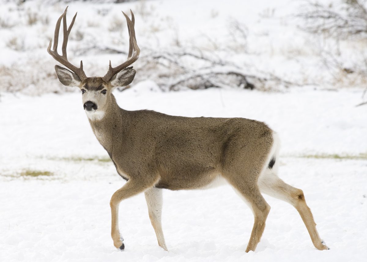
Animals around Isabella Lake Loop (via Isabella Lake Entry Point 35)






Location and trip character
Isabella Lake Entry Point 35 is in Minnesota’s Boundary Waters Canoe Area Wilderness, not California. Plan this destination as a canoe or kayak outing on Lake Isabella, rather than a California lake loop. A defined loop itinerary is not established here; choose a route using a current wilderness map before committing to an overnight trip. Lake Isabella State Forest lies within the wilderness, in rugged country marked by large boulders, rocky outcrops, interconnected lakes, beaver ponds, and streams. Road access reaches the parking lot southwest of the lake, but travel beyond the access area is nonmotorized. Motorized boats are prohibited. The distinction matters for packing: equipment needs to suit wilderness paddling, and the nearby road should not be treated as a substitute for self-sufficient travel.
Burned forest, wildlife, and fishing
The landscape around Lake Isabella reflects both logging history and wildfire. Forest Center, a logging village on the southwest shore, operated between 1949 and 1964. In 2011, an intense fire swept through the Pagami Creek area, restarting forest succession across burned ground. Aspen and jack pine are abundant in burned areas, while black spruce grows in lowlands. Other boreal trees include pine, cedar, fir, spruce, and paper birch. Watch for loons and waterfowl on the water, and woodpeckers in burned-over forest. Moose, bears, wolves, and other mammals also inhabit this country; give wildlife space and keep food secured. Lake Isabella supports walleye and northern pike. Fishing requires the proper license and compliance with Minnesota rules and seasons. Do not transport lake water, and pack out unused bait.
Permits, camping, and navigation
Visitor permits are required to enter the Boundary Waters Canoe Area Wilderness. Overnight stays between May 1 and September 30 require a wilderness permit; arrange this through recreation.gov or the Superior National Forest office and confirm current requirements before travel. Camping is allowed only at designated BWCAW campsites. Lake Isabella State Forest itself has no campsites or campgrounds, while designated wilderness sites are canoe-accessible and have cleared areas, fire rings, and latrines maintained by the U.S. Forest Service. Pack out all garbage and leave fires completely cold. Carry a current map and an offline navigation backup rather than depending on cellular service. For walking, check the Powwow Hiking Trail’s condition before departure: travel is recommended only from its trailhead to Pose Lake, with maintenance beyond that section deferred during forest recovery.
Route options
- Lake Isabella paddle from Entry Point 35
Explore Lake Isabella by canoe or kayak from its southwest-side entry point. Plan the outing with a current wilderness map; no defined loop course is established here. Motorized boats are not allowed.
- Powwow Hiking Trail to Pose Lake5.9 miles from the trailhead to Pose Lake
Follow the Powwow Hiking Trail from the parking-lot trailhead toward Pose Lake. The recommended travel section ends there; do not assume the remaining trail is maintained or suitable for a loop.
Sample itineraries
- Isabella Lake day paddle · 1 day
Start at Entry Point 35 by the southwest-shore parking lot. Explore Isabella Lake by canoe or kayak and return to the same access point. Keep the outing within the group's paddling ability and current conditions; do not assume a marked or established loop.
- Isabella Lake overnight paddle · 2 days
Enter through Entry Point 35 and plan an overnight paddle using designated BWCAW campsites only. Confirm campsite locations and permit arrangements with the Superior National Forest before departure. Leave time to explore the lake's rocky shoreline and regenerating boreal forest before returning to the entry point.
Seasonal conditions
Spring
Spring
Confirm ice and open-water conditions before planning a paddle. Pack for cold water and changing weather. The overnight wilderness-permit requirement applies beginning May 1; visitor permits are required for BWCAW entry.
Summer
Summer
Plan for self-supported canoe or kayak travel among rocky shores and interconnecting waterways. Carry weather protection and drinking-water treatment. Overnight entry is limited during the May 1–September 30 permit period.
Fall
Fall
Prepare for colder water and shorter daylight. Hunting and trapping are allowed in appropriate seasons, so remain visible near shore and on land. Confirm current fishing regulations before fishing; fall whitefish sport gill netting requires a separate license.
Winter
Winter
Do not assume lake ice is safe for travel. Confirm local conditions and carry suitable cold-weather equipment. There are no snowmobile trails in these state forests, and motors are prohibited within the BWCAW.
| Season | Window | Conditions |
|---|---|---|
| Spring | Spring | Confirm ice and open-water conditions before planning a paddle. Pack for cold water and changing weather. The overnight wilderness-permit requirement applies beginning May 1; visitor permits are required for BWCAW entry. |
| Summer | Summer | Plan for self-supported canoe or kayak travel among rocky shores and interconnecting waterways. Carry weather protection and drinking-water treatment. Overnight entry is limited during the May 1–September 30 permit period. |
| Fall | Fall | Prepare for colder water and shorter daylight. Hunting and trapping are allowed in appropriate seasons, so remain visible near shore and on land. Confirm current fishing regulations before fishing; fall whitefish sport gill netting requires a separate license. |
| Winter | Winter | Do not assume lake ice is safe for travel. Confirm local conditions and carry suitable cold-weather equipment. There are no snowmobile trails in these state forests, and motors are prohibited within the BWCAW. |
Permits, fees & closures
Visitor permits are required to enter the BWCAW. Overnight stays between May 1 and September 30 require a wilderness permit; entry is limited and described as first-come, first-served. Confirm current requirements with the Superior National Forest.
Fees: A fee is charged for the overnight wilderness permit.
Reservations: Request a wilderness permit through recreation.gov or the Superior National Forest office. Confirm availability for Entry Point 35 before making travel plans.
Official source: [PDF] Map of Lake Isabella and Insula Lake State Forests - files - Minnesota DNR · Verified September 18, 2026
Hazards & regulations
- Large boulders, rocky outcroppings, and rugged terrain require careful footing, especially while carrying boats or gear.
- Lake travel requires judgment about wind, weather, and cold-water exposure. Wear a flotation device and turn back before conditions exceed the group's ability.
- Bear habitat calls for secure food and scented-item storage. Keep wildlife away from meals and camp waste.
- The Pagami Creek fire substantially changed the forest. Do not assume nearby hiking routes are maintained throughout.
- Hunting and trapping occur in appropriate seasons. Stay visible and leave traps undisturbed.
- Aquatic invasive organisms can spread with transported water and bait. Do not move lake or river water between waters.
What to pack for Isabella Lake Loop (via Isabella Lake Entry Point 35)
- Canoe or kayak, paddles, and properly fitted flotation devices
- Waterproof map and compass
- Downloaded geoPDF and compatible offline mapping app
- Dry bags
- Rain protection and insulating layers
- Shelter and sleeping equipment suited to expected conditions
- Drinking-water treatment
- Food and scented-item storage appropriate for bear habitat
- First-aid kit
- Emergency communication equipment
- Trash bags for all waste and unused bait
- Sturdy footwear for rocky landings
Isabella Lake Loop (via Isabella Lake Entry Point 35) FAQ
- Is Entry Point 35 in California?
- No. Isabella Lake Entry Point 35 is in Minnesota's Boundary Waters Canoe Area Wilderness, not California. Use Minnesota access information when planning this trip.
- How is Entry Point 35 reached?
- Lake Isabella State Forest is accessed from Tomahawk Road, also called FS 377, reached from Highway 1 south of Ely. Entry Point 35 and its parking lot are on Lake Isabella's southwest shore.
- Is this an established loop route?
- A specific Isabella Lake Loop alignment is not established here. Plan a lake paddle returning to Entry Point 35 unless the Superior National Forest confirms a connecting route. Obtain a current navigation map before committing to a longer circuit.
- Where is camping allowed?
- Camp only at designated BWCAW campsites. These canoe-accessible sites have a cleared area, fire ring, and latrine. There are no campsites within Lake Isabella or Insula Lake state forests themselves; confirm designated BWCAW site locations before departure.
- Are motorboats allowed?
- No motorized boats are allowed. Explore by canoe or kayak, and arrange the required watercraft registration. Motorized or wheeled travel is prohibited on BWCAW land and water.
- Is there a hiking option nearby?
- The Powwow Hiking Trail starts at the parking lot southwest of Lake Isabella. Travel is recommended only from the trailhead to Pose Lake, 5.9 miles. Confirm current maintenance and conditions before hiking farther through the fire-affected forest.