



- Region
- Alberta
- Country
- Canada
- Best for
- climbing, hiking, ski touring
- Best season
- Spring, Summer
- Permits
- Confirm current entry, activity and overni…
- Managed by
- Alberta Government; confirm the responsible agency for the particular public land or protected area.
Plan with verified data
Kananaskis Country trip tools
Tools for a trip here
Picked for how, when and where you're going. Free, no signup.
- Sleep System Temp CalculatorCold nights: check your bag and pad add up to a safe sleep.
- The 10 EssentialsDay on trail: carry the ten essentials.
- Water Purification MatrixRefilling on trail: compare treatment options.
- Layering CalculatorCool temps: build a layer stack for the climb and the summit.
- Packing ChecklistsTrip-specific packing list grouped by system.
How to get there
Approach from Calgary on the Trans-Canada Highway (#1). The northern boundary of Kananaskis Country is about half an hour west of the city; onward travel depends on the specific destination within this large region.
- Calgary
The city east of Kananaskis Country provides the starting point for the described approach along the Trans-Canada Highway.
- Northern boundary via the Trans-Canada Highway (#1)
A regional approach to Kananaskis Country, rather than a specific trailhead or a single entrance serving the whole area.
Sources: parks.canada.ca · Wikipedia · Wikivoyage. Confirm road and trailhead conditions with the managing agency before you leave.
Alberta · Canada · Season: Winter (Dec–Mar)
- Climbing
- Winter Camping
- Skiing
- Hiking
- Canoeing
- Fishing
- Photography
Overview
Kananaskis Country offers a diverse array of ice climbing opportunities, ranging from easily accessible single-pitch flows to serious multi-pitch alpine routes, all within an hour or two's drive of Calgary. This provincial park system provides a slightly less regulated feel than the national parks, though responsible use is still paramount. Climbs are scattered throughout various valleys, including Highway 40, Evan-Thomas, and Ribbon Creek. It's an excellent choice for climbers looking to escape some of the Banff crowds or for those based closer to Calgary. The 'Back of the Lake' area near Lake Louise also borders Kananaskis, providing overlap in options. The area is also popular for mixed climbing.
The nearest town with comprehensive services is Canmore, though smaller services can be found in Bragg Creek or Seebe. The season generally runs from November to April. Kananaskis offers routes suitable for all skill levels, from beginners at 'King Creek' to experts tackling 'Smell the Coffee'. There are no climbing-specific permits, but Kananaskis Conservation Passes are required for vehicles accessing the park. Trade-offs include popular routes can still see traffic, particularly on weekends, and some areas are prone to significant avalanche danger, requiring careful route selection and awareness.
Planning notes
Where: Alberta, Canada Best season: Winter (Dec–Mar) Good for: Climbing, Hiking, Ski Touring, Camping, Photography Featured on: Top 10 Ice Climbing Destinations in the Canadian Rockies (#3) Access point: Kananaskis, AB T0L 2C0, Canada
Check current permits, closures and fire restrictions with the managing agency before you commit to dates.
Where on earth
Satellite imagery flying in from a world view to Kananaskis Country, Canada. Use the + / − buttons, or click the map to zoom with your scroll wheel; drag to pan and pinch to zoom on touch.
Coordinates
- Decimal degrees
- 51.0763, -115.1288
- Latitude (DMS)
- 51° 4′ 34.8″ N
- Longitude (DMS)
- 115° 7′ 43.7″ W
Coordinates are an access-point reference for Kananaskis Country, not a route. Carry a paper map and confirm trailhead or put-in access with the managing agency before you go.
Topic summary
Kananaskis Country offers a diverse array of ice climbing opportunities, ranging from easily accessible single-pitch flows to serious multi-pitch alpine routes, all within an hour or two's drive of Calgary.
Key takeaways
- Region: Alberta
- Country: Canada
- Best season: Winter (Dec–Mar)
- Good for: climbing, hiking, ski touring, camping
- Coordinates: 51.076, -115.129
Intended uses
- climbing
- hiking
- ski touring
- camping
- photography
Climate suitability
Winter (Dec–Mar)
Keep planning
Popular pursuits at Kananaskis Country
- Climbing
Rock and alpine lines with approach beta.
- Winter Camping
Cold-season travel and camp craft; layering matters more than mileage.
- Skiing
Ski-touring access when the road closes for the season.
- Hiking
Day miles on marked trail, with route notes and trail links below.
- Canoeing
Paddle routes, portages, and put-ins.
- Fishing
Resident gamefish, seasons, and the water that holds them.
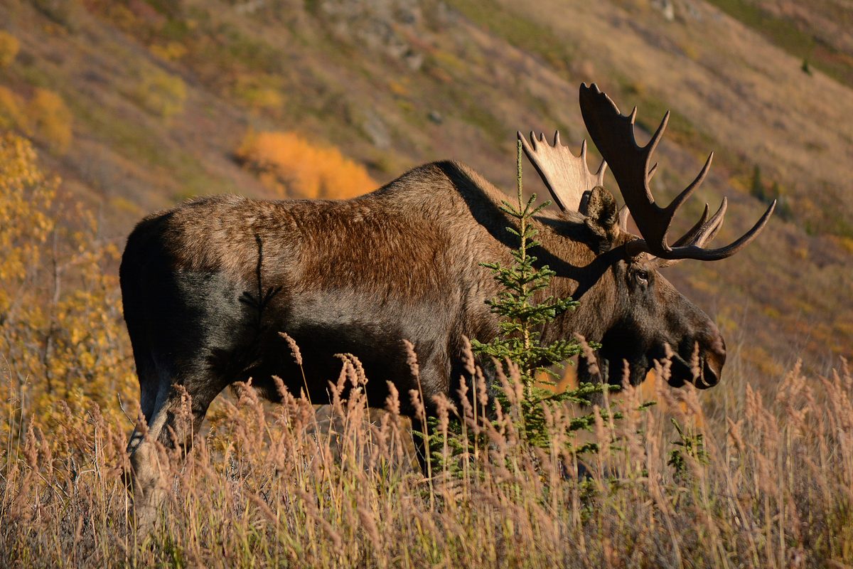
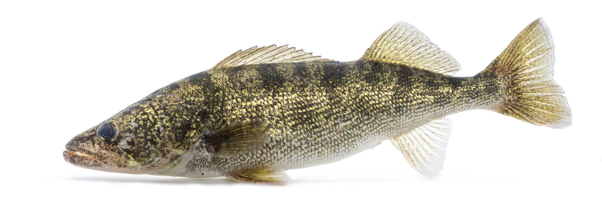
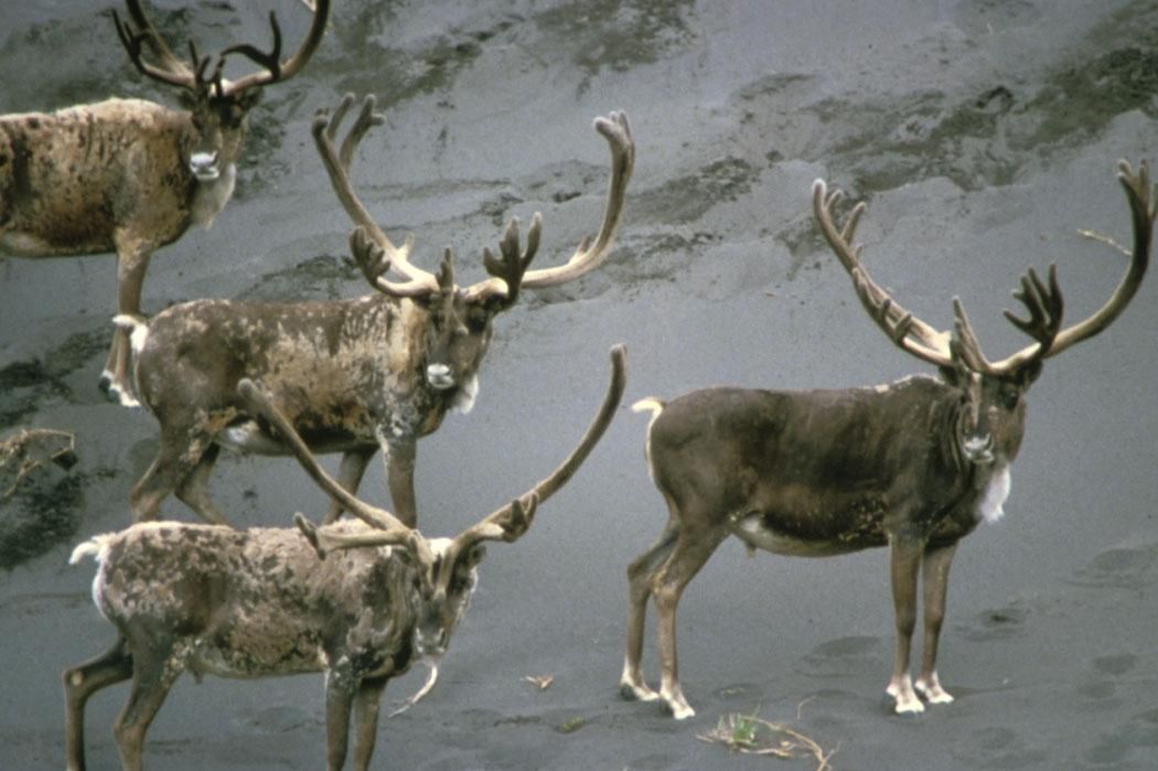
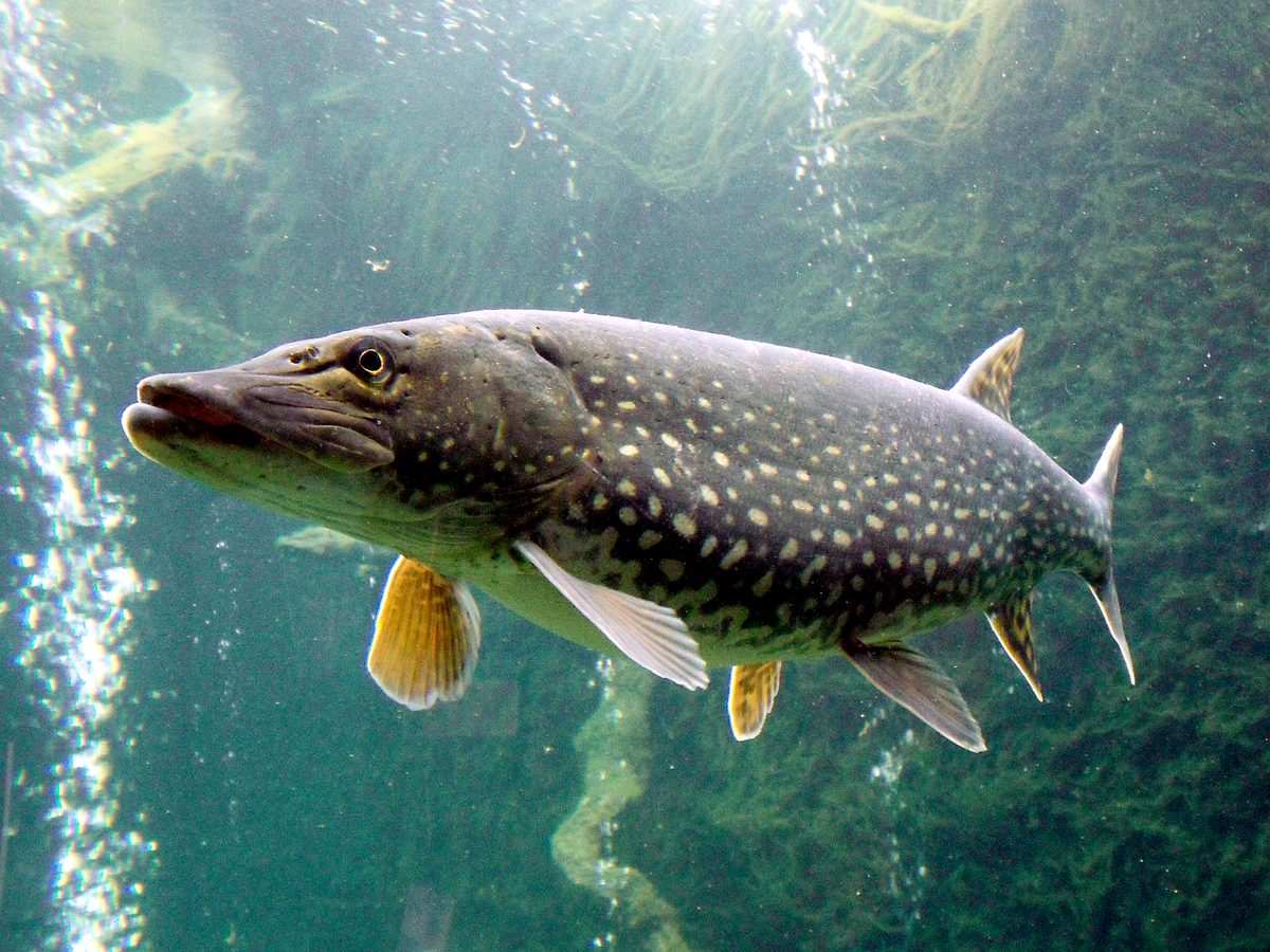
Animals around Kananaskis Country




A large region, not a single park
Kananaskis Country lies west of Calgary in Alberta, across the foothills and front ranges of the Canadian Rockies. Often called K-Country, it covers approximately 4,000 square kilometres, with a western edge adjoining Banff National Park and the Alberta–British Columbia border. Think of it as a broad planning region rather than one park with a single entrance or a uniform set of facilities. Public land and protected areas sit within the same regional boundary. That distinction matters when choosing where to go: a destination described simply as Kananaskis may be in a different setting and under different rules from another nearby outing. Start with a specific part of the region, then establish its access and management requirements before building the rest of the trip.
Choosing the scale of your visit
The northern boundary of Kananaskis Country is about half an hour west of Calgary along the Trans-Canada Highway, but that is an approach time, not a measure of travel throughout the region. Its size makes a focused visit more practical than treating all of K-Country as one stop. The foothills and front ranges provide the broad geographic framework for choosing an outing; a particular trail, turnaround point and travel time still need to be established separately. Kananaskis generally offers fewer services than nearby Banff National Park, so bring the food, drinking water, clothing and navigation tools needed for the planned day rather than depending on facilities along the way. Leave enough flexibility to shorten an outing if mountain weather makes the original plan unsuitable.
Planning for a working mountain landscape
Established by the Alberta Government in 1978, Kananaskis Country was designed to accommodate several land uses, not recreation alone. Forestry, cattle grazing, water use, oil and gas activities, power generation and residential communities all form part of the region alongside outdoor recreation and protected areas. Expect the meaning of access to depend on the particular parcel of land rather than the Kananaskis name alone. Confirm current access rules and any pass or permit requirements with the managing agency for the exact destination. For outdoor travel, prepare for the foothill or mountain setting you have selected: carry weather protection, keep wildlife at a distance and choose an outing that matches the group's experience. Nearby city access does not remove the need for a self-contained plan.
Route options
- Trans-Canada Highway (#1) approach
Travel west from Calgary toward the northern boundary of Kananaskis Country. This is an access drive; select a specific destination before planning onward travel.
- Foothills and front ranges
Use these two broad landscape settings to narrow the choice of an outdoor outing within Kananaskis Country. This is a trip-planning option, not a defined trail itinerary; obtain a specific route description before setting out.
Sample itineraries
- Foothills day from Calgary · 1 day
Approach northern Kananaskis Country from Calgary along the Trans-Canada Highway (#1). Focus on a foothills outing rather than covering the whole region. Confirm a suitable route and current access with the managing agency, and bring supplies rather than relying on local services.
- Foothills and front ranges · 2 days
Spend one day exploring the foothills and a second on an outing in the front ranges of the Canadian Rockies. Choose routes to match conditions and experience. Arrange overnight accommodation separately and verify access for each outing; Kananaskis includes both protected areas and multi-use public land.
Seasonal conditions
Spring
Spring transition
Plan conservatively for changing mountain weather and possible lingering snow or wet footing. Check conditions for the specific outing rather than assuming the foothills and front ranges are equally accessible.
Summer
Summer outings
Prepare for changing weather even on a day trip. Carry water, sun protection and an insulating layer, and choose an outing suited to the forecast. Fewer services make advance preparation important.
Fall
Fall transition
Allow for colder weather and shorter daylight when choosing an outing. Carry warm layers and a headlamp, and confirm current conditions before heading into the front ranges.
Winter
Winter outings
Treat trips as winter mountain travel, with preparation for cold, snow and limited daylight. Choose terrain appropriate to experience and current conditions; do not assume a summer outing remains suitable.
| Season | Window | Conditions |
|---|---|---|
| Spring | Spring transition | Plan conservatively for changing mountain weather and possible lingering snow or wet footing. Check conditions for the specific outing rather than assuming the foothills and front ranges are equally accessible. |
| Summer | Summer outings | Prepare for changing weather even on a day trip. Carry water, sun protection and an insulating layer, and choose an outing suited to the forecast. Fewer services make advance preparation important. |
| Fall | Fall transition | Allow for colder weather and shorter daylight when choosing an outing. Carry warm layers and a headlamp, and confirm current conditions before heading into the front ranges. |
| Winter | Winter outings | Treat trips as winter mountain travel, with preparation for cold, snow and limited daylight. Choose terrain appropriate to experience and current conditions; do not assume a summer outing remains suitable. |
Permits, fees & closures
Confirm current entry, activity and overnight requirements with the managing agency for the specific part of Kananaskis Country being visited.
Official source: Passes, permits and fees - Parks Canada · Verified September 18, 2026
Hazards & regulations
- Changing mountain weather can leave an outing colder or wetter than expected. Carry protective layers and keep plans flexible.
- Snow, ice or wet footing can complicate mountain travel. Check local conditions and turn back when terrain exceeds equipment or experience.
- Services are fewer than in nearby Banff National Park. Bring essential supplies and avoid depending on finding them during an outing.
What to pack for Kananaskis Country
- Waterproof shell
- Insulating layer
- Warm hat and gloves
- Sun protection
- Map covering the chosen outing
- Offline navigation
- Headlamp
- First-aid kit
- Food and drinking water
- Footwear suited to the terrain
- Spare socks
- Traction appropriate to expected footing
Kananaskis Country FAQ
- Where is Kananaskis Country?
- It lies west of Calgary in Alberta's foothills and the front ranges of the Canadian Rockies. Its western edge borders Banff National Park and the Alberta–British Columbia border.
- Is Kananaskis Country one park?
- No. It is a roughly 4,000-square-kilometre multi-use region containing public land and protected areas. Recreation shares the landscape with activities including forestry, cattle grazing, resource extraction and power generation.
- How is the northern part reached from Calgary?
- The Trans-Canada Highway (#1) provides an approach to the northern boundary, about half an hour west of Calgary. That is not a travel-time estimate for every destination within this large region.
- How does it compare with Banff?
- Kananaskis generally offers a less-crowded setting than nearby Banff National Park, but with fewer services. Bring supplies and plan each outing around its specific access and conditions.
- Can one access rule be used for the whole region?
- Do not assume so. Kananaskis includes different land designations and uses. Confirm current requirements with the managing agency for each planned outing or overnight stay.