



- Region
- California
- Country
- United States
- Best for
- canoeing, camping, fishing
- Best season
- Spring, Summer
- Permits
- Confirm permit requirements with the manag…
Plan with verified data
Little Gabbro Lake Loop (Entry Point 33, Lake Isabella) trip tools
Tools for a trip here
Picked for how, when and where you're going. Free, no signup.
- Water Purification MatrixDrinking from the water you paddle — pick a treatment that fits.
- Layering CalculatorCold water: dress for immersion, not just the air temperature.
- Sleep System Temp CalculatorCold nights: check your bag and pad add up to a safe sleep.
- The 10 EssentialsBackcountry safety basics, printable.
- Packing ChecklistsPrintable packing list for this kind of trip.
How to get there
Access to Little Gabbro Lake (Entry Point 33) is from Ely, Minnesota. From Ely, drive east on Minnesota Highway 1 (or Hwy 169 for 0.8 miles then turn right on Hwy 1) for about 10-12 miles. Turn left onto FR 181/Spruce Road (Road 230) and continue for 5-6 miles, passing the Outward Bound School and BWCA Entry Point 32. Drive the final 0.7-2 miles to the end of the road where the Little Gabbro Lake parking area is located.
- Little Gabbro Lake Entry Point 33 Parking Area
The parking area is located at the end of FR 181/Spruce Road. From the parking area, there is a portage of 200-290 rods to Little Gabbro Lake. An unloading area is available closer to the portage start, with the main parking area a few hundred feet back down the road.
Sources: Wikipedia · Wikivoyage · bwca.com · elyoutfittingcompany.com. Confirm road and trailhead conditions with the managing agency before you leave.
California · United States · Season: Late spring through early fall
- Canoeing
- Kayaking
- Fishing
Overview
This loop can be accessed from the same entry point as the Isabella Lake route, but branches off to explore the smaller, more intimate lakes of Gabbro and Little Gabbro. These lakes offer a quieter, more sheltered paddling experience compared to the expanse of Isabella. The portages are minimal and generally flat, making this an excellent choice for a leisurely 3-4 day trip. The area is known for good fishing and peaceful campsites nestled among the pines. It feels more secluded and less traveled than its larger neighbor. Nearest town is Isabella, though Ely and Grand Marais are options. Best during spring or fall for fewer bugs and vibrant foliage. Campsites are abundant but can fill up on prime weekends. This route is perfect for those seeking solitude and a gentle introduction to multi-day BWCA canoeing, focusing on relaxation rather than long-distance travel.
Planning notes
Where: California, United States Best season: Late spring through early fall Good for: Canoeing, Camping, Fishing Featured on: Top 10 Flatwater Canoe Routes: Boundary Waters Multi-day (#10) Access point: Lake Isabella, CA, USA
Check current permits, closures and fire restrictions with the managing agency before you commit to dates.
Where on earth
Satellite imagery flying in from a world view to Little Gabbro Lake Loop (Entry Point 33, Lake Isabella), United States. Use the + / − buttons, or click the map to zoom with your scroll wheel; drag to pan and pinch to zoom on touch.
Coordinates
- Decimal degrees
- 35.6180, -118.4731
- Latitude (DMS)
- 35° 37′ 4.8″ N
- Longitude (DMS)
- 118° 28′ 23.3″ W
Coordinates are an access-point reference for Little Gabbro Lake Loop (Entry Point 33, Lake Isabella), not a route. Carry a paper map and confirm trailhead or put-in access with the managing agency before you go.
Topic summary
This loop can be accessed from the same entry point as the Isabella Lake route, but branches off to explore the smaller, more intimate lakes of Gabbro and Little Gabbro.
Key takeaways
- Region: California
- Country: United States
- Best season: Late spring through early fall
- Good for: canoeing, camping, fishing
- Coordinates: 35.618, -118.473
Intended uses
- canoeing
- camping
- fishing
Climate suitability
Late spring through early fall
Keep planning
Popular pursuits at Little Gabbro Lake Loop (Entry Point 33, Lake Isabella)
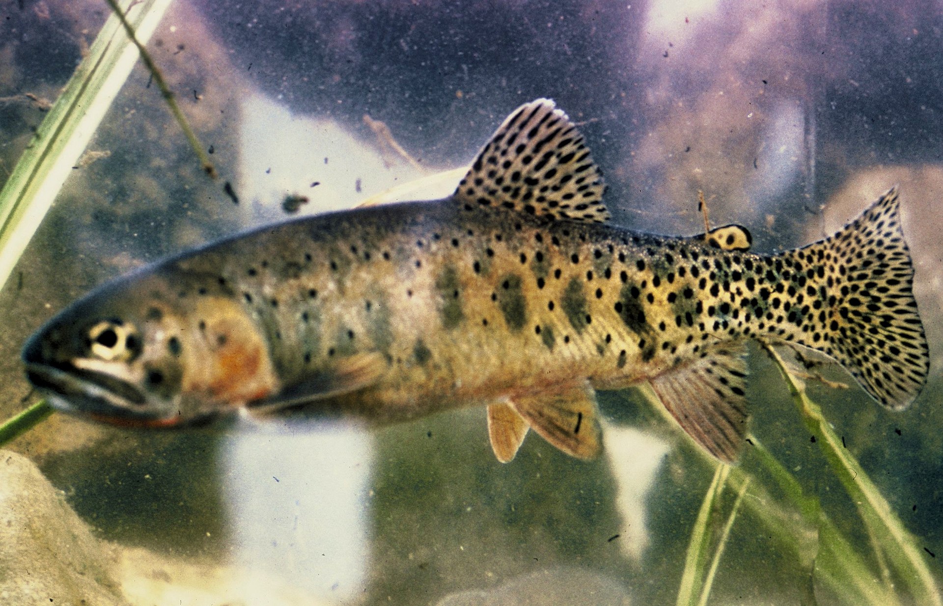
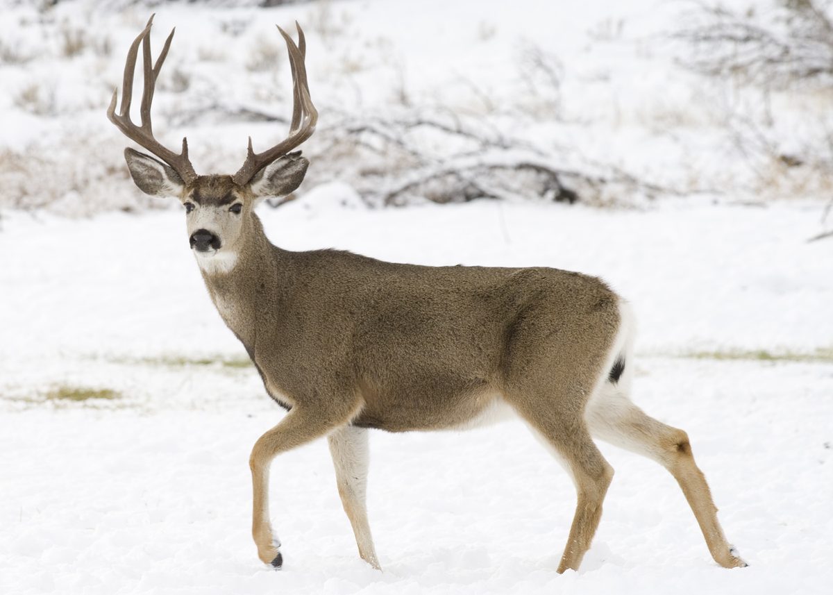
Animals around Little Gabbro Lake Loop (Entry Point 33, Lake Isabella)






Destination identity needs confirmation
The destination cannot be confidently located from the information available. The requested region is California, but the lake geography available for this profile concerns Minnesota. That mismatch matters: a lake name, entry-point number, and regional label must identify the same place before they can support a usable itinerary. Minnesota has many repeated lake names, so a name alone is not a reliable location check. Do not treat the destination title as confirmation of a particular launch, trailhead, or connected water route. First establish the state, the exact lake, and the intended entry point on a current map issued by the responsible land manager. Until those details agree, driving directions and route recommendations would risk sending travelers to the wrong location.
Access and loop layout remain unverified
There is not enough location-specific information to describe a continuous loop, identify its starting access, or establish how its sections connect. The word “loop” should not be taken as evidence that a route returns to its starting point without a separate transfer. Likewise, an entry-point number does not establish parking, a launch facility, or the conditions between an access point and the water. A useful route plan needs a confirmed starting location, an ordered sequence of mapped connections, and a verified return. None of those details can be established here. The planning placeholders below are not recommended routes or confirmed access points. Leave mileage, travel time, and difficulty unset until the destination identity and actual route alignment have been checked.
What to establish before planning a trip
No destination-specific season, campsite arrangement, water conditions, or managing agency can be established for this trip. It would therefore be misleading to describe it as an easy outing, a remote expedition, or a route suitable for a particular experience level. Once the location is resolved, confirm current access conditions and any permit requirements directly with the managing agency. Ask whether the intended route is continuous and what facilities, if any, exist at its start and finish. Use those answers to decide the trip length, equipment, and transport arrangements rather than working backward from the destination title. This profile does not supply a navigable itinerary: the essential location and access checks still need to happen before a departure plan can be made.
Route options
- Loop itinerary — not established
No connected loop can be described reliably. Verify the complete alignment and return connection before treating this as a route option.
- Alternative itinerary — not established
No alternative route can be identified reliably. Select an alternative only after the location and its mapped access connections are confirmed.
Sample itineraries
- Location verification · 1 day
Planning only, not a verified outdoor itinerary. Confirm the destination’s state and exact lake identity before arranging travel. The supplied location information does not establish a reliable destination.
- Route and access verification · 1 day
Planning only, not a verified outdoor itinerary. Obtain a current managing-agency map and confirm the intended entry point, connected waterways, and return route. A loop or overnight schedule cannot be established from the available information.
Seasonal conditions
Spring
Not established
Destination-specific spring conditions are not established. Confirm the location before choosing travel dates or assessing access.
Summer
Not established
Destination-specific summer conditions are not established. No reliable paddling or camping recommendation can be made.
Fall
Not established
Destination-specific fall conditions are not established. Confirm local conditions and route suitability before planning a trip.
Winter
Not established
Destination-specific winter conditions are not established. Do not assume that the intended route is accessible or suitable for winter travel.
| Season | Window | Conditions |
|---|---|---|
| Spring | Not established | Destination-specific spring conditions are not established. Confirm the location before choosing travel dates or assessing access. |
| Summer | Not established | Destination-specific summer conditions are not established. No reliable paddling or camping recommendation can be made. |
| Fall | Not established | Destination-specific fall conditions are not established. Confirm local conditions and route suitability before planning a trip. |
| Winter | Not established | Destination-specific winter conditions are not established. Do not assume that the intended route is accessible or suitable for winter travel. |
Permits, fees & closures
Confirm permit requirements with the managing agency after verifying the destination and entry point.
Confirm current permits, fees, and closures with the managing agency before you go.
Hazards & regulations
- Location ambiguity: the stated region and available geographic information do not establish the same destination.
- Lake-name confusion: repeated lake names in Minnesota make name-only navigation unreliable.
- Unverified route continuity: entry access and a complete loop have not been established. Do not use this profile as a navigation guide.
What to pack for Little Gabbro Lake Loop (Entry Point 33, Lake Isabella)
- Current managing-agency map identifying the exact destination
- Confirmed entry-point and access information
- Verified route plan
- Activity-specific packing checklist prepared after location and conditions are confirmed
Little Gabbro Lake Loop (Entry Point 33, Lake Isabella) FAQ
- Is the destination confirmed to be in California?
- No. The supplied geographic information concerns Minnesota lakes but does not identify the requested destination. Neither the state nor the exact route can be reliably confirmed.
- Is the entry point verified?
- No. Confirm the entry-point identifier and associated lake with the managing agency before making travel arrangements.
- How long is the loop?
- A loop distance, route description, and travel time are not established. The planning entries above are verification tasks, not recommended trip durations.
- Are permits or reservations required?
- Requirements are not established. Confirm them directly with the managing agency once the destination is identified.
- What information is needed for a usable trip profile?
- An official destination page, current access map, route description, and managing-agency guidance on seasonal conditions and regulations are needed before a place-specific itinerary can be responsibly prepared.