



Where on earth
Satellite imagery flying in from a world view to Gorkhi-Terelj National Park, Mongolia. Use the + / − buttons, or click the map to zoom with your scroll wheel; drag to pan and pinch to zoom on touch.
- Region
- Mongolia
- Biome
- Mongolian granite steppe (1,400–2,000 m)
- Best season
- May – September
- Difficulty
- moderate
- Backpacking
- Hiking
- Climbing
Key takeaways
- Biome: Mongolian granite steppe (1,400–2,000 m)
- Best season: May – September
- Difficulty: moderate
- Top activity: backpacking
Photos of Gorkhi-Terelj National Park
Topic summary
A 3-day trek through Mongolia's granite tor country near Ulaanbaatar.
Key takeaways
- Difficulty: moderate
- Best season: May – September
Intended uses
backpacking
Climate suitability
Mongolian granite steppe (1,400–2,000 m)
Tools for a trip here
Picked for how, when and where you're going. Free, no signup.
- Sleep System Temp CalculatorCold nights: check your bag and pad add up to a safe sleep.
- Base Weight CalculatorEvery ounce is carried — total your kit and find your base weight.
- Pack Volume SizerSize the pack for your trip length and season.
- Water Purification MatrixTreat water from streams and lakes on trail.
- Layering CalculatorCold-season miles: layer for climbs and camp.
Plan with verified data
Gorkhi-Terelj National Park trip tools
How to get there
From Ulaanbaatar, follow the paved A0501 east toward Baganuur–Öndörkhaan. At 37 km from the city center, turn left onto branch road A24. After another 5 km, the road crosses the Tuul River and enters the park. It continues to Gorkhiin Davaa pass, with most tourist camps and attractions before the pass, then ends at Terelj settlement, approximately 66 km from central Ulaanbaatar.
- Tuul River crossing on A24
The approach road enters park territory at the Tuul River crossing, 5 km after the turn from A0501 onto A24.
- Gorkhiin Davaa pass
A landmark on the paved approach road. Most tourist camps and attractions are on the approach side of the pass.
- Terelj settlement
The road ends at this settlement in the Terelj River valley, approximately 66 km from central Ulaanbaatar. Small shops and restaurants are available.
Sources: Wikipedia · Wikivoyage. Confirm road and trailhead conditions with the managing agency before you leave.
Popular pursuits at Gorkhi-Terelj National Park
- Backpacking
Multi-day travel with everything on your back — see the packing blocks below.
- Hiking
Day miles on marked trail, with route notes and trail links below.
- Climbing
Rock and alpine lines with approach beta.
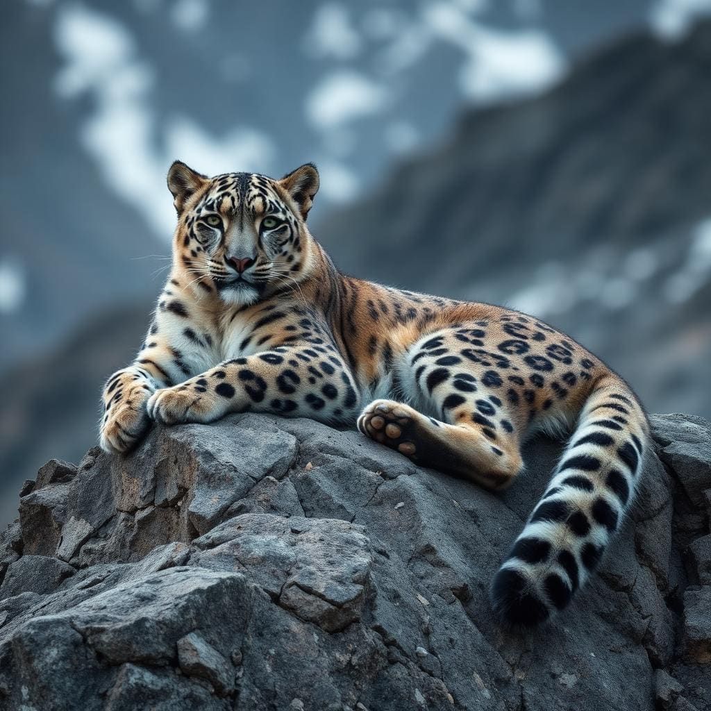
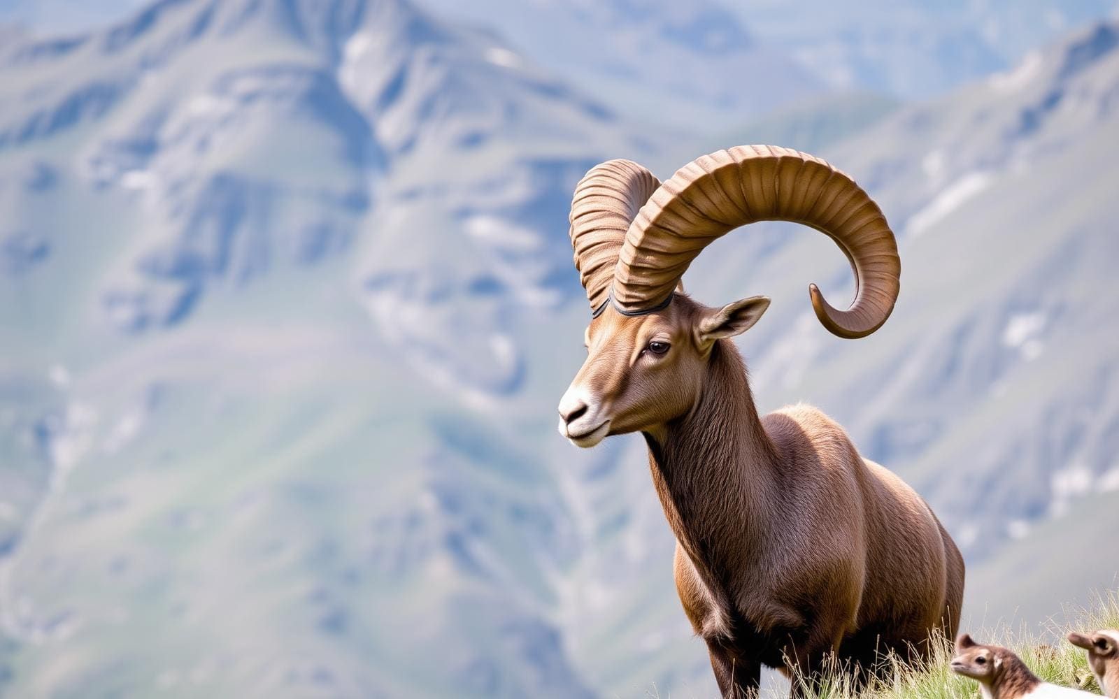
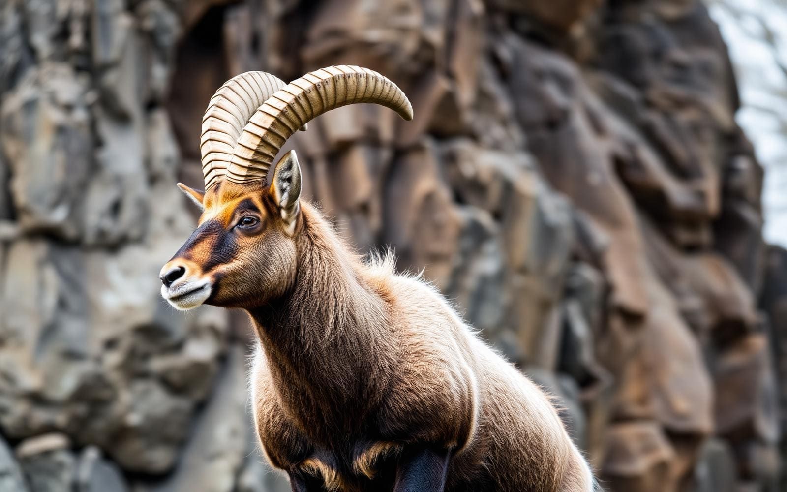
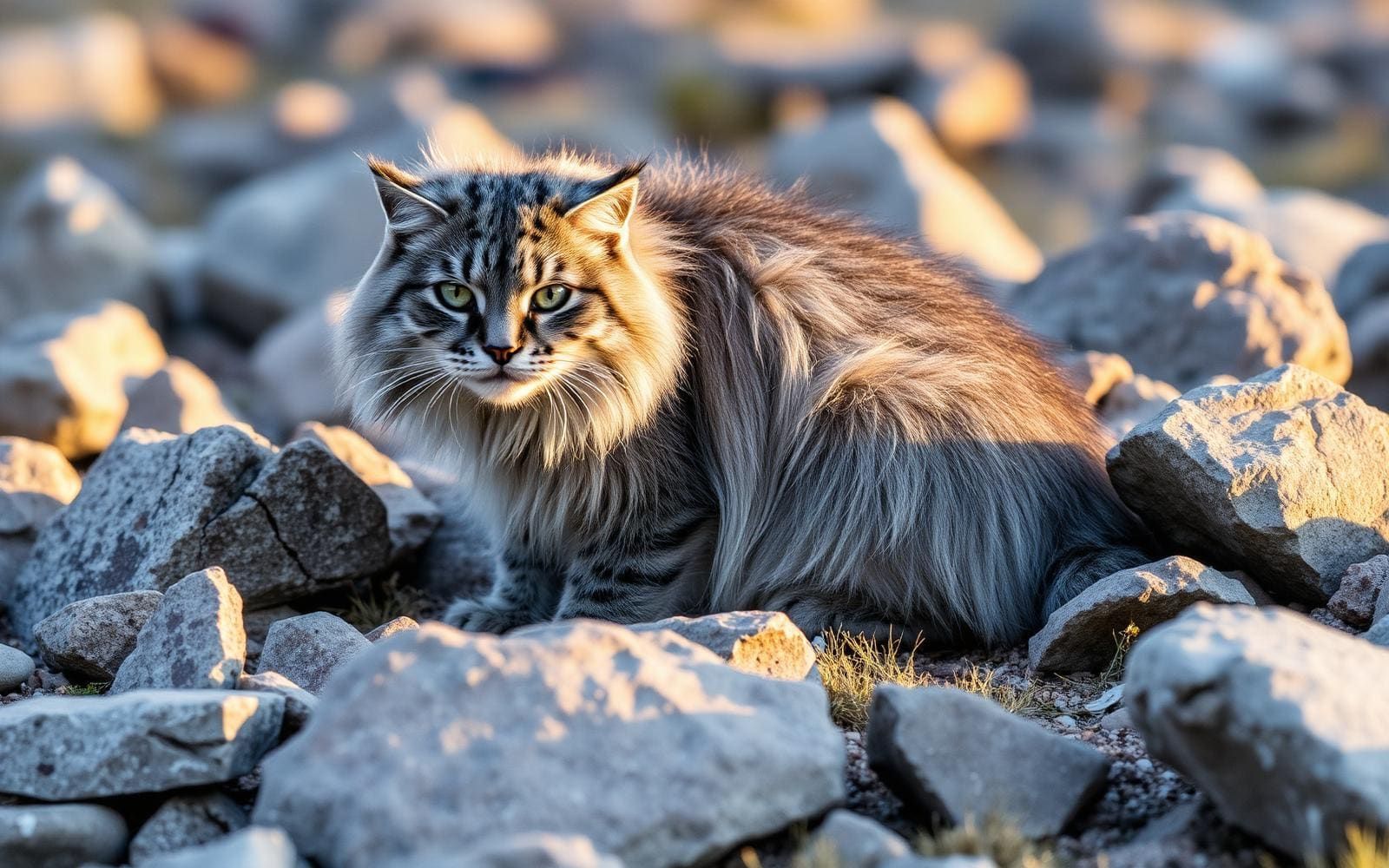
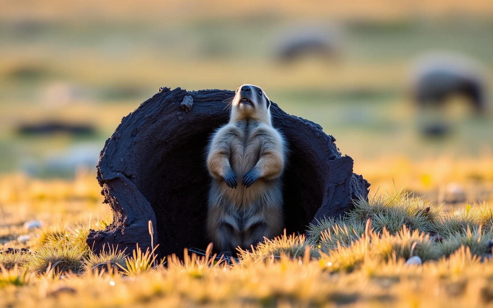
Animals around Gorkhi-Terelj National Park


Maps, GPS & compass for this trip
Carry a waterproof paper map and a compass you can steer by, and treat the GPS as the backup — not the other way round. Buying links go to Amazon; Wild10 earns a commission at no cost to you.
Waterproof topo maps
- Waterproof topographic map — Gorkhi-Terelj National ParkAmazon search for waterproof, tear-resistant topo maps covering this area.
- National Geographic Trails IllustratedThe waterproof Trails Illustrated series — check for a sheet covering this area.
- Waterproof map case & compass lanyardKeep a paper map readable in rain, spray and a swamped boat.
Fishing at Gorkhi-Terelj National Park
Planning to fish Gorkhi-Terelj National Park, Mongolia? Fishing licences, open seasons and catch limits in Mongolia are set by the local wildlife authority and change every year — check the official source before you cast a line.
Do I need a fishing licence at Gorkhi-Terelj National Park?
- A Mongolia fishing licence is normally required for anyone over the local youth age.
- Read the current Mongolia fishing regulations for special waters, barbless-hook or catch-and-release rules.
- Clean, drain and dry boats and gear between waters to stop invasive species.
- Gorkhi-Terelj National Park may add its own fishing rules on top of Mongolia law — check the managing agency too.
We don't have a verified licensing link on file for Mongolia yet — contact the park or land manager listed on this page for current hunting and fishing rules.
Hunting near Gorkhi-Terelj National Park
Thinking about hunting Gorkhi-Terelj National Park, Mongolia? Hunting seasons, tags and draws in Mongolia are set by the wildlife authority each year. Confirm the rules for your species and unit before you go.
Is hunting allowed at Gorkhi-Terelj National Park?
- Hunting is prohibited or heavily restricted in many national parks, wilderness and protected areas — confirm with the Gorkhi-Terelj National Park land manager before planning a hunt, and look to surrounding public land.
What do I need to hunt in Mongolia?
- A Mongolia hunting licence — most jurisdictions also require hunter education certification.
- Species tags or draw results for big game such as deer, elk, moose or bear where they occur.
- Knowledge of firearm and bow transport rules, which differ by land type and border crossing.
We don't have a verified licensing link on file for Mongolia yet — contact the park or land manager listed on this page for current hunting and fishing rules.
A road-accessible southern edge, a remote interior
Gorkhi-Terelj National Park combines a developed visitor area within reach of Ulaanbaatar with a much larger, largely undeveloped interior. The distinction matters when planning: a stay at a roadside ger camp is a different undertaking from travel upstream toward the park’s distant lake and hot springs. In the southern tourist zone, restaurants, souvenir shops, horse and camel rentals, and tourist camps provide a base for exploring. Most camps and attractions lie before Gorkhiin Davaa pass on the approach road. Beyond the pass, the road ends at Terelj settlement in the Terelj River valley. The tourist zone falls within Ulaanbaatar’s Nalaikh district, while the protected area north of the Terelj River lies in Töv Province. Choose the scope of the trip before arranging transport and supplies.
Rock formations, rivers, and camp-based exploring
The park’s rock formations give a southern-zone visit a clear focus. Turtle Rock, also called Melkhii Khad, and the Old Man Reading a Book, also known as Praying Lama Rock, are named for their recognizable shapes. Other formations offer opportunities for rock climbing, though a sightseeing stop should not be treated as evidence of an established climbing route. The Tuul River flows through the park, and Terelj settlement occupies the valley of the Terelj River. A Buddhist monastery is also open to visitors. With shops and restaurants at the settlement and tourist facilities in the south, this part of the park suits a camp-based visit centered on landscape, photography, and short outings chosen locally. Horse and camel rentals are available in the developed tourist area.
Planning beyond the tourist camps
Khagiin Khar Lake and Yestii Hot Water Springs belong to a more demanding side of Gorkhi-Terelj. The lake is a glacial basin described as 20 metres deep, located 80 kilometres upstream from the tourist camps. The natural hot springs lie another 18 kilometres upstream. These figures describe their relative locations, not verified walking distances or a marked trail itinerary. Most of the park is undeveloped and difficult to access, so the southern zone’s services should not set expectations for the interior. Confirm the route, transport arrangements, supplies, and a return plan before setting out. Brown bears occur in the park, making careful food storage and wildlife awareness important. More than 250 bird species also occur here; observe wildlife without approaching or feeding it.
Route options
- Southern tourist-zone sightseeing
Use the developed southern area as a base for visiting Turtle Rock and the Old Man Reading a Book formation. Treat these as sightseeing destinations rather than a specified connecting trail; arrange the sequence and local transport on arrival.
- Gorkhiin Davaa to Terelj settlement
Continue along the approach road over Gorkhiin Davaa to its end at Terelj settlement in the Terelj River valley. This is a road-based option, with shops and restaurants at the settlement.
- Khagiin Khar Lake interior journeyDifficult access; no specific trail grade established.
Plan a separate remote journey to the glacial lake, located 80 km upstream from the tourist camps. That location figure is not a confirmed trail distance. The largely undeveloped interior requires route and logistical planning beyond a camp-based sightseeing visit.
- Yestii Hot Water Springs extensionDifficult access; no specific trail grade established.
Consider the natural hot springs only as a separately planned extension into the interior. They lie 18 km farther upstream from Khagiin Khar Lake; this does not establish a walking route or trail length.
Sample itineraries
- Southern tourist zone day trip · 1 day
Travel from Ulaanbaatar along the paved approach road. Focus on Turtle Rock and the Old Man Reading a Book formation, with a meal in the developed tourist zone. Keep the day centered on accessible southern attractions rather than the undeveloped interior.
- Ger camp and Terelj valley stay · 2 days
Stay at a southern tourist ger camp. Spend one day visiting the rock formations and the visitor-accessible Buddhist monastery. Use the second day to explore Terelj settlement and its river valley. Confirm local transport arrangements before setting out beyond the developed area.
Seasonal conditions
Spring
Spring; check local conditions before departure
Keep plans flexible around the river valleys and undeveloped terrain. Confirm access locally rather than assuming the paved approach road means onward travel is straightforward. Carry layers and weather protection.
Summer
Summer; confirm camp and transport availability
The southern tourist zone offers a practical base for visiting rock formations and the monastery. Carry water and sun protection for outdoor outings. Most of the park remains undeveloped and difficult to access, regardless of conditions in the tourist zone.
Fall
Fall; check forecasts and local services
Confirm accommodation and return transport before leaving Ulaanbaatar. Pack insulating layers and keep a weather-dependent alternative to outings in the undeveloped interior.
Winter
Winter; verify access before committing
Plan conservatively around cold-weather exposure and access uncertainty. Confirm suitable accommodation and transport locally. Do not treat the remote lake or hot springs as straightforward extensions of a tourist-zone visit.
| Season | Window | Conditions |
|---|---|---|
| Spring | Spring; check local conditions before departure | Keep plans flexible around the river valleys and undeveloped terrain. Confirm access locally rather than assuming the paved approach road means onward travel is straightforward. Carry layers and weather protection. |
| Summer | Summer; confirm camp and transport availability | The southern tourist zone offers a practical base for visiting rock formations and the monastery. Carry water and sun protection for outdoor outings. Most of the park remains undeveloped and difficult to access, regardless of conditions in the tourist zone. |
| Fall | Fall; check forecasts and local services | Confirm accommodation and return transport before leaving Ulaanbaatar. Pack insulating layers and keep a weather-dependent alternative to outings in the undeveloped interior. |
| Winter | Winter; verify access before committing | Plan conservatively around cold-weather exposure and access uncertainty. Confirm suitable accommodation and transport locally. Do not treat the remote lake or hot springs as straightforward extensions of a tourist-zone visit. |
Permits, fees & closures
Confirm current entry requirements and any activity permissions with the park's managing agency before travel.
Confirm current permits, fees, and closures with the managing agency before you go.
Hazards & regulations
- Most of the park is undeveloped and difficult to access; arrange navigation, transport and emergency plans before leaving the tourist zone.
- Khagiin Khar Lake lies 80 km upstream from the tourist camps, with Yestii Hot Water Springs another 18 km upstream. These are remote objectives, not short sightseeing detours.
- Brown bears inhabit the park. Store food securely, keep your distance and seek local wildlife-safety advice.
- Rock formations present fall risks. Viewing Turtle Rock or Praying Lama Rock does not require attempting technical climbing.
- The Tuul and Terelj rivers require cautious judgment near water. Do not assume an unverified crossing is safe.
What to pack for Gorkhi-Terelj National Park
- Insulating layers
- Wind and rain protection
- Sturdy footwear
- Sun protection
- Drinking water
- Offline maps
- Backup power
- First-aid kit
- Emergency communication plan
- Remote-area communication equipment for interior trips
- Binoculars
- Secure food storage
- Rubbish bags
Wildlife you may see
- Brown bears inhabit the park; sightings should never be approached.
- More than 250 bird species are recorded in the park. Binoculars allow observation without getting close.
Gorkhi-Terelj National Park FAQ
- How do you reach Gorkhi-Terelj from Ulaanbaatar?
- Follow the paved A0501 toward Baganuur–Öndörkhaan, then turn left onto the A24 branch 37 km from the city center. The road crosses the Tuul River 5 km later, where park territory begins. Terelj settlement is approximately 66 km from central Ulaanbaatar.
- Where are the main visitor services?
- The small southern tourist zone has restaurants, souvenir shops and ger camps, plus horses and camels for rent. Most camps and attractions are before Gorkhiin Davaa pass. The road ends at Terelj settlement, which has small shops and restaurants.
- What are the main rock formations?
- Turtle Rock, also called Melkhii Khad, and the Old Man Reading a Book, also called Praying Lama Rock, are the best-known named formations. The park also has rock formations used by climbers.
- Can the lake and hot springs fit into a casual day trip?
- Do not plan them as casual add-ons. Khagiin Khar Lake is 80 km upstream from the tourist camps, and Yestii Hot Water Springs is 18 km farther upstream. Most of the park is difficult to access; establish logistics locally before committing.
- Is there a monastery to visit?
- The park has a Buddhist monastery open to visitors. Confirm practical visiting arrangements locally and follow guidance on respectful behavior.