



Where on earth
Satellite imagery flying in from a world view to Overland Track, Worldwide. Use the + / − buttons, or click the map to zoom with your scroll wheel; drag to pan and pinch to zoom on touch.
- Region
- Tasmania, Australia
- Country
- Worldwide
- Biome
- Temperate alpine (700–1,600 m)
- Best season
- October – May
- Difficulty
- moderate
- Backpacking
- Hiking
- Climbing
- Mountaineering
- Wildlife Viewing
- Canoeing
- Fishing
Key takeaways
- Biome: Temperate alpine (700–1,600 m)
- Best season: October – May
- Difficulty: moderate
- Top activity: backpacking
Photos of Overland Track
Topic summary
The 65-km crown jewel of Tasmania — Cradle Mountain to Lake St Clair through button grass and rainforest.
Key takeaways
- Difficulty: moderate
- Best season: October – May
Intended uses
backpacking
Climate suitability
Temperate alpine (700–1,600 m)
Tools for a trip here
Picked for how, when and where you're going. Free, no signup.
- Sleep System Temp CalculatorCold nights: check your bag and pad add up to a safe sleep.
- Base Weight CalculatorEvery ounce is carried — total your kit and find your base weight.
- Pack Volume SizerSize the pack for your trip length and season.
- Water Purification MatrixTreat water from streams and lakes on trail.
- Layering CalculatorCold-season miles: layer for climbs and camp.
Plan with verified data
Overland Track trip tools
How to get there
The Overland Track lies in Cradle Mountain-Lake St Clair National Park, Tasmania. Most walkers travel north to south, starting at Cradle Mountain and finishing at Lake St Clair. Arrange transport for both ends of the traverse and account for an extra day if continuing along the lake.
- Cradle Mountain
Northern end of the Overland Track and the usual starting end for a north-to-south traverse.
- Lake St Clair
Southern end of the main 65-kilometre track. Continuing along the lake adds a walking day and brings the full journey to 82 kilometres.
Sources: Wikipedia · Wikivoyage. Confirm road and trailhead conditions with the managing agency before you leave.
Popular pursuits at Overland Track
- Backpacking
Multi-day travel with everything on your back — see the packing blocks below.
- Hiking
Day miles on marked trail, with route notes and trail links below.
- Climbing
Rock and alpine lines with approach beta.
- Mountaineering
Glacier and high-route objectives with real consequence.
- Wildlife Viewing
Best light, best season, and where animals move.
- Canoeing
Paddle routes, portages, and put-ins.
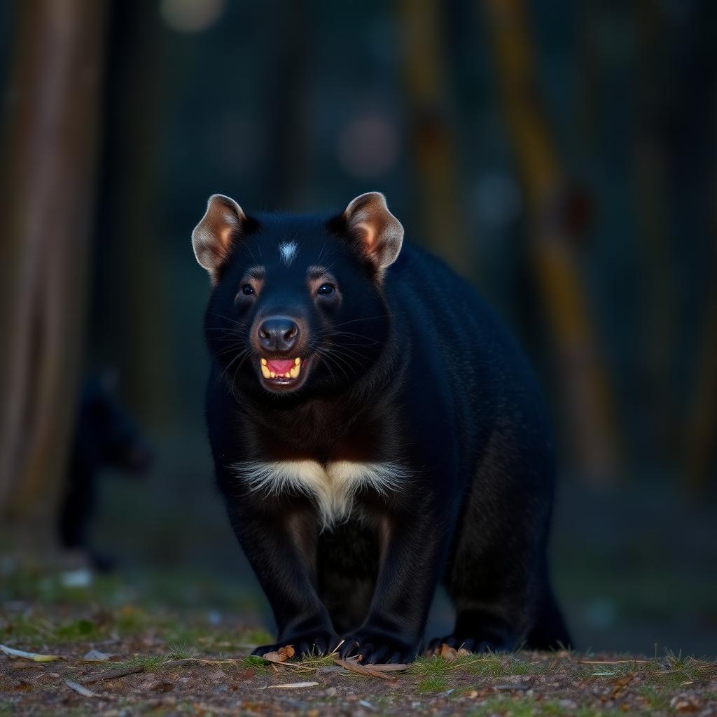
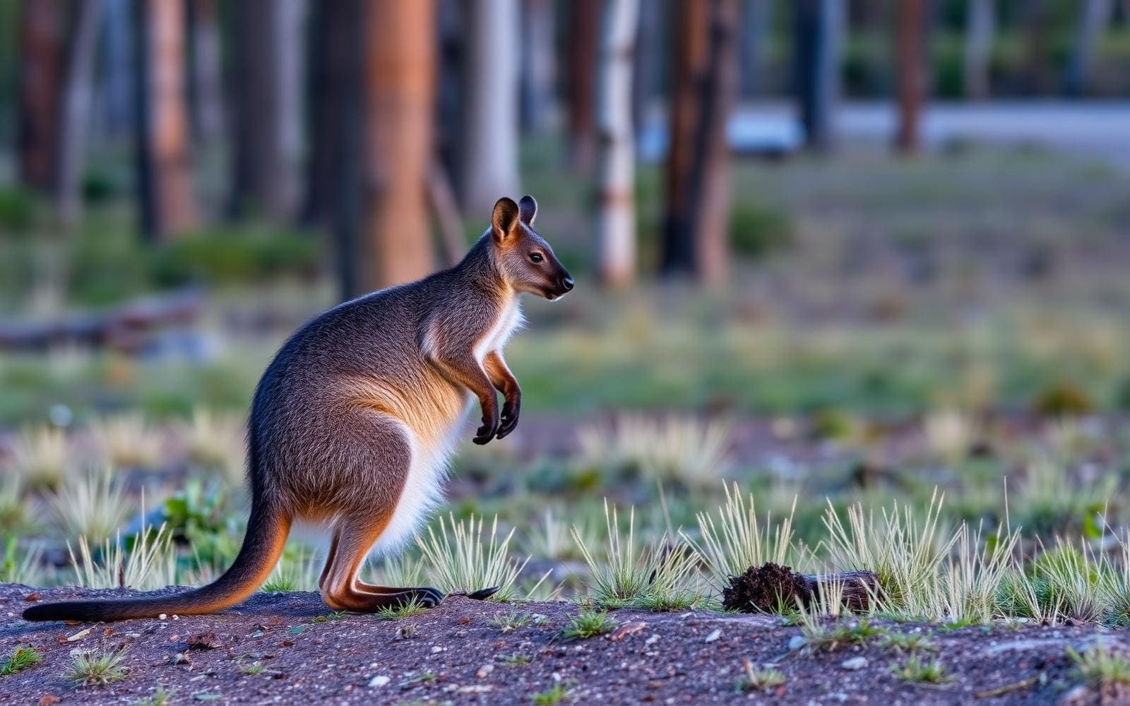
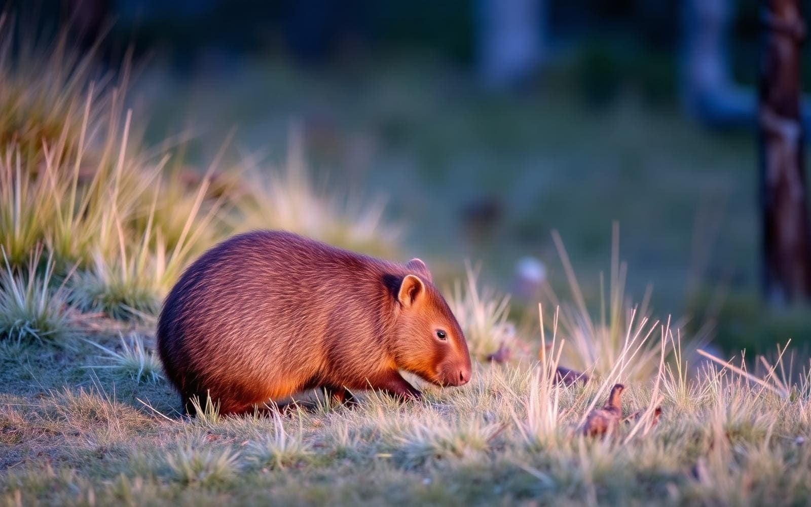
Animals around Overland Track

Maps, GPS & compass for this trip
Carry a waterproof paper map and a compass you can steer by, and treat the GPS as the backup — not the other way round. Buying links go to Amazon; Wild10 earns a commission at no cost to you.
Waterproof topo maps
- Waterproof topographic map — Overland TrackAmazon search for waterproof, tear-resistant topo maps covering this area.
- National Geographic Trails IllustratedThe waterproof Trails Illustrated series — check for a sheet covering this area.
- Waterproof map case & compass lanyardKeep a paper map readable in rain, spray and a swamped boat.
Fishing at Overland Track
Planning to fish Overland Track, Australia? Fishing licences, open seasons and catch limits in Australia are set by the local wildlife authority and change every year — check the official source before you cast a line.
Do I need a fishing licence at Overland Track?
- A Australia fishing licence is normally required for anyone over the local youth age.
- Read the current Australia fishing regulations for special waters, barbless-hook or catch-and-release rules.
- Clean, drain and dry boats and gear between waters to stop invasive species.
Hunting near Overland Track
Thinking about hunting Overland Track, Australia? Hunting seasons, tags and draws in Australia are set by the wildlife authority each year. Confirm the rules for your species and unit before you go.
Is hunting allowed at Overland Track?
- Confirm the land around Overland Track is open to hunting and which management unit it falls in.
What do I need to hunt in Australia?
- A Australia hunting licence — most jurisdictions also require hunter education certification.
- Species tags or draw results for big game such as deer, elk, moose or bear where they occur.
- Knowledge of firearm and bow transport rules, which differ by land type and border crossing.
A traverse of Tasmania’s mountain country
The Overland Track crosses Cradle Mountain-Lake St Clair National Park within the Tasmanian Wilderness World Heritage Area. Its main route runs 65 kilometres from Cradle Mountain to Lake St Clair, linking glacial mountains, alpine plains, temperate rainforest and wild rivers. That variety shapes the walk: exposed mountain country and sheltered forest require different pacing, clothing and weather decisions. Most walkers travel north to south and take five or six days, making this a multi-day bushwalk rather than a short visit to either end of the park. The track attracts more than nine thousand walkers each year, but its popularity should not be mistaken for an easy outing. Plan around consecutive days on foot, a loaded pack and the demands of moving through mountain terrain.
Choosing the main walk and its extensions
The first route decision is whether to finish the 65-kilometre main track at Lake St Clair or continue along the lake. The lakeside extension adds an extra walking day and brings the journey to 82 kilometres. Beyond that choice, several side tracks offer ways to spend more time in the surrounding mountain landscape. These include summit walks to Cradle Mountain and Mount Ossa, Tasmania’s tallest mountain, as well as a walk to the tarns of The Labyrinth. Treat these as optional additions rather than commitments that must be kept regardless of conditions. A five- or six-day schedule is the usual pattern for the main walk; additional objectives need room in the plan. Choose side trips according to weather, remaining energy and the demands of the onward journey.
Huts, preparation and access planning
Independent walkers can use a track supported by six main public huts maintained by Tasmania Parks and Wildlife. Five private huts also serve the route, but these are for commercial groups only and should not be counted as independent accommodation options. Build a plan around the public facilities and confirm current hut arrangements and access requirements with Tasmania Parks and Wildlife before departure. For a traverse through alpine plains, mountains and rainforest, carry clothing and equipment suited to both wet conditions and exposed ground. Food, water planning and a manageable pack matter across several consecutive walking days. Organise arrival at Cradle Mountain and departure from Lake St Clair as separate parts of the trip, and settle the main-route versus lakeside-extension decision before finalising onward transport.
Route options
- Overland Track main traverse65 kilometres
Walk from Cradle Mountain to Lake St Clair through glacial mountain terrain, alpine plains, temperate rainforest and wild-river country. Usually completed north to south in five or six days.
- Overland Track with Lake St Clair extension82 kilometres total
Continue along Lake St Clair after the main traverse, adding an extra day on foot.
- Cradle Mountain summit side track
An optional summit walk off the Overland Track. Allow room in the itinerary and assess mountain weather before committing.
- Mount Ossa summit side track
An optional side track to the summit of Tasmania’s tallest mountain. Fit the outing around conditions and the demands of the main traverse.
- The Labyrinth side track
A side walk to a group of tarns known as The Labyrinth, offering an additional objective beyond the main track.
Sample itineraries
- Cradle Mountain to Lake St Clair · 6 days
Walk the 65-kilometre Overland Track north to south through Cradle Mountain-Lake St Clair National Park. Allow six days for the main route across alpine plains, glacial mountain terrain and temperate rainforest. Plan overnight arrangements around the six public huts without assuming space is available.
- Overland Track with Lake St Clair Extension · 7 days
Follow the main track from Cradle Mountain, then add a day walking along Lake St Clair. This extends the journey to 82 kilometres. Carry enough food and supplies for the additional day rather than treating the lakeside walk as an incidental finish.
Seasonal conditions
Spring
Southern Hemisphere spring
Plan for changing conditions across alpine plains, mountain terrain and rainforest. Keep waterproofs and warm layers accessible, and base any summit side trips on current weather and walking conditions.
Summer
Southern Hemisphere summer
Warmer-season travel still crosses exposed alpine terrain. Carry protection from sun, rain and cold, and confirm current access arrangements before committing to transport or accommodation.
Fall
Southern Hemisphere autumn
Allow a conservative daily pace as daylight decreases. Rainforest sections and exposed mountain terrain call for waterproof clothing, insulating layers and flexibility over optional side trips.
Winter
Southern Hemisphere winter
Treat this mountain route as a cold-weather undertaking with shorter daylight. Check current track and weather conditions, carry suitable shelter and insulation, and keep daily objectives within the group's experience.
| Season | Window | Conditions |
|---|---|---|
| Spring | Southern Hemisphere spring | Plan for changing conditions across alpine plains, mountain terrain and rainforest. Keep waterproofs and warm layers accessible, and base any summit side trips on current weather and walking conditions. |
| Summer | Southern Hemisphere summer | Warmer-season travel still crosses exposed alpine terrain. Carry protection from sun, rain and cold, and confirm current access arrangements before committing to transport or accommodation. |
| Fall | Southern Hemisphere autumn | Allow a conservative daily pace as daylight decreases. Rainforest sections and exposed mountain terrain call for waterproof clothing, insulating layers and flexibility over optional side trips. |
| Winter | Southern Hemisphere winter | Treat this mountain route as a cold-weather undertaking with shorter daylight. Check current track and weather conditions, carry suitable shelter and insulation, and keep daily objectives within the group's experience. |
Permits, fees & closures
Confirm current permit, booking and access requirements with Tasmania Parks and Wildlife before planning your walk.
Confirm current permits, fees, and closures with the managing agency before you go.
Hazards & regulations
- Exposed alpine plains and mountain terrain require protection from changing weather; do not rely on warm conditions throughout the walk.
- Rainforest and mountain footing can become slippery when wet. Choose a pace that leaves time for careful travel.
- Wild rivers are part of the landscape. Keep clear of unstable banks and do not assume water is safe to enter.
- Summit side trips add effort beyond the main track. Assess weather, daylight and remaining energy before committing.
- A five- or six-day walk requires enough food, shelter and essential equipment to cope with delays.
What to pack for Overland Track
- Waterproof jacket and trousers
- Insulating layers and warm hat
- Sun protection
- Waterproof liners for essential gear
- Shelter suitable for mountain conditions
- Sleeping bag and sleeping mat
- Cooking equipment
- Food for the planned duration plus a contingency
- Route map and navigation tools
- Headlamp and spare power
- First-aid kit
- Emergency communication device
- Water containers and treatment method
Overland Track FAQ
- How long is the Overland Track?
- The main route is 65 kilometres from Cradle Mountain to Lake St Clair. Continuing on foot along Lake St Clair brings the total to 82 kilometres and usually adds a day.
- How many days should the walk take?
- Walkers usually complete the main track in five or six days, commonly travelling north to south. Allow additional time for the Lake St Clair extension or optional side trips.
- Can the track be walked independently?
- Yes. Independent walking is possible, and Tasmania Parks and Wildlife maintains six main public huts. Five private huts are for commercial groups only. Confirm current overnight arrangements before departure.
- Which side trips are available?
- Side tracks include the summits of Cradle Mountain and Mount Ossa, Tasmania's tallest mountain, and the tarns of The Labyrinth. Choose optional walks according to conditions, time and the group's ability.
- What terrain does the route cross?
- The track passes through glacial mountains, temperate rainforest, wild rivers and alpine plains within Cradle Mountain-Lake St Clair National Park, part of the Tasmanian Wilderness World Heritage Area.