



- Region
- Oregon
- Country
- United States
- Best for
- kayaking, camping
- Best season
- Spring, Summer
- Permits
- A day-use parking permit is required for d…
- Managed by
- Oregon State Parks
Plan with verified data
Owyhee River (Lower) trip tools
Tools for a trip here
Picked for how, when and where you're going. Free, no signup.
- Water Purification MatrixDrinking from the water you paddle — pick a treatment that fits.
- Layering CalculatorCold water: dress for immersion, not just the air temperature.
- Sleep System Temp CalculatorCold nights: check your bag and pad add up to a safe sleep.
- The 10 EssentialsBackcountry safety basics, printable.
- Packing ChecklistsPrintable packing list for this kind of trip.
How to get there
Lake Owyhee State Park is located near Ontario, Oregon. The road leading to Lake Owyhee Reservoir is narrow and moderately steep in sections; drive slowly and be prepared to yield to other vehicles.
- Gordon Gulch Day-use Area
This area is open year-round and includes picnic tables and a boat ramp for reservoir access.
Sources: stateparks.oregon.gov · Wikipedia. Confirm road and trailhead conditions with the managing agency before you leave.
Oregon · United States · Season: Late spring through early fall
- Canoeing
- Kayaking
- Rafting
- Desert Hiking
- Canyoneering
- Hiking
- Wildlife Viewing
- Fishing
Overview
The Lower Owyhee, especially below Rome, Oregon, is a wilderness gem. This is a multi-day trip through a spectacular, remote canyon often compared to the Grand Canyon in miniature. It's an arid, starkly beautiful landscape, characterized by towering, colorful cliffs, hoodoos, and vibrant desert flora. The whitewater is Class II-III, with a few Class IV rapids ('Whirlpool' and 'Ambush') depending on flow, making it suitable for experienced intermediates or confident beginners with a good outfitter. The catch? It's a free-flowing river, meaning the season is entirely dependent on snowpack and spring runoff, typically a narrow window in April and May. Access is remote, requiring a long drive into southeastern Oregon. Permits are required and are highly sought after due to the limited season. The trade-off is the genuine wilderness experience; this river offers solitude, stunning scenery, and a unique chance to explore one of Oregon's most wild places. Prepare for unpredictable weather and true remoteness.
Why it stands out
Multi-day wilderness trip through a remote, spectacular canyon
Class II-IV rapids, including 'Whirlpool' and 'Ambush'
Towering colorful cliffs, hoodoos, and unique geology
Excellent opportunities for hiking and exploring side canyons
Chance for solitude and wildlife viewing (bighorn sheep, eagles)
Know before you go
Limited, highly variable season (April-May only)
Permits are competitive due to short season
Extremely remote access, long drives involved
Unpredictable high desert weather (sun, wind, cold)
Planning notes
Where: Oregon, United States Best season: Late spring through early fall Good for: Kayaking, Camping Featured on: Top 10 Whitewater Rafting Trips in the Pacific Northwest (#6) Access point: Owyhee River, Oregon 97913, USA
Check current permits, closures and fire restrictions with the managing agency before you commit to dates.
Field notes
- Multi-day wilderness trip through a remote, spectacular canyon
- Class II-IV rapids, including 'Whirlpool' and 'Ambush'
- Towering colorful cliffs, hoodoos, and unique geology
- Excellent opportunities for hiking and exploring side canyons
- Chance for solitude and wildlife viewing (bighorn sheep, eagles)
Where on earth
Satellite imagery flying in from a world view to Owyhee River (Lower), United States. Use the + / − buttons, or click the map to zoom with your scroll wheel; drag to pan and pinch to zoom on touch.
Coordinates
- Decimal degrees
- 43.7226, -117.1539
- Latitude (DMS)
- 43° 43′ 21.2″ N
- Longitude (DMS)
- 117° 9′ 14.2″ W
Coordinates are an access-point reference for Owyhee River (Lower), not a route. Carry a paper map and confirm trailhead or put-in access with the managing agency before you go.
Topic summary
The Lower Owyhee, especially below Rome, Oregon, is a wilderness gem.
Key takeaways
- Region: Oregon
- Country: United States
- Best season: Late spring through early fall
- Good for: kayaking, camping
- Coordinates: 43.723, -117.154
Intended uses
- kayaking
- camping
Climate suitability
Late spring through early fall
Keep planning
Popular pursuits at Owyhee River (Lower)
- Canoeing
Paddle routes, portages, and put-ins.
- Kayaking
Sheltered and open-water paddling lines.
- Rafting
Whitewater sections and the flows that make them run.
- Desert Hiking
Water carries and heat management drive the plan.
- Canyoneering
Narrows, downclimbs, and flash-flood timing.
- Hiking
Day miles on marked trail, with route notes and trail links below.
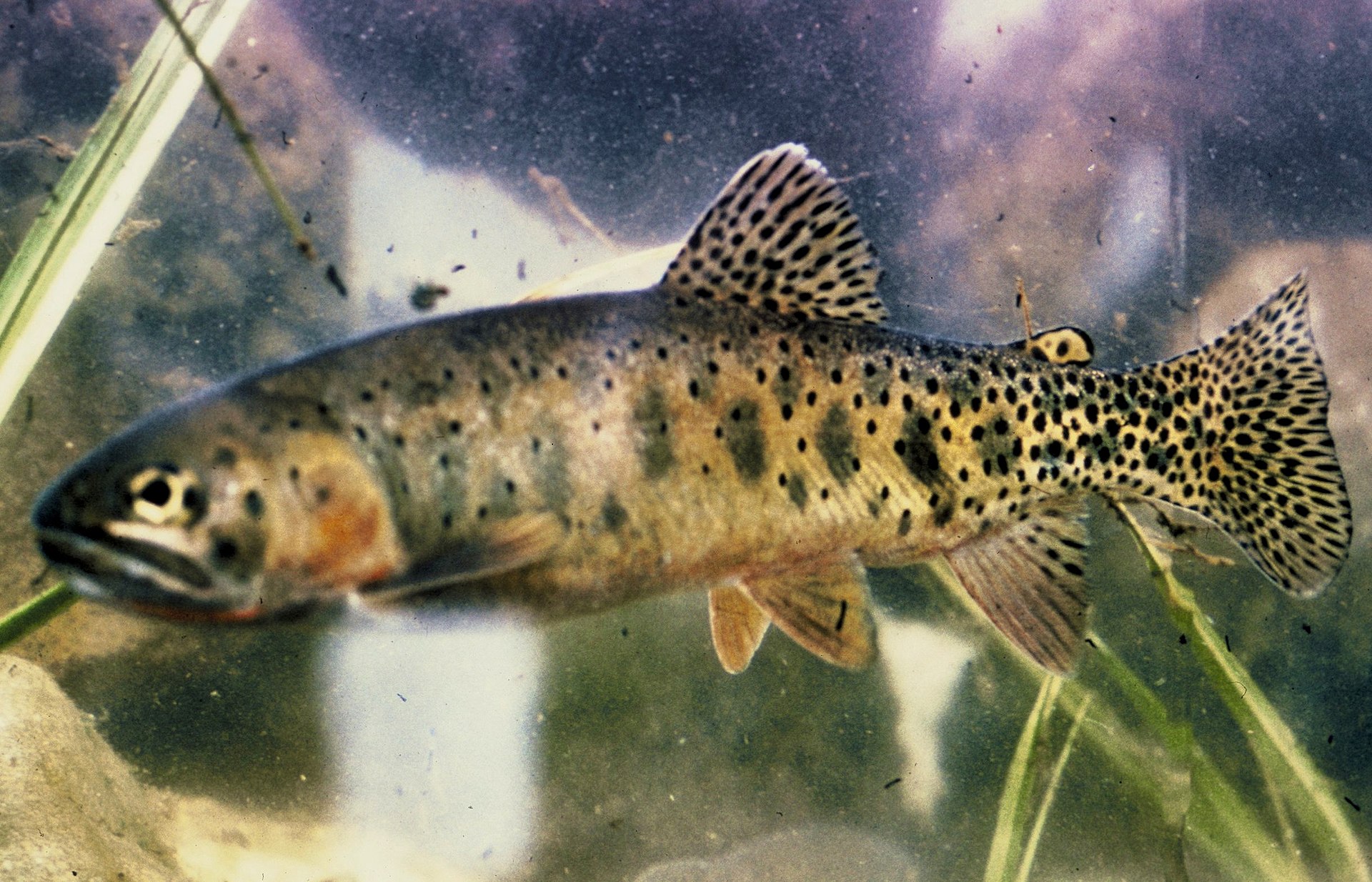
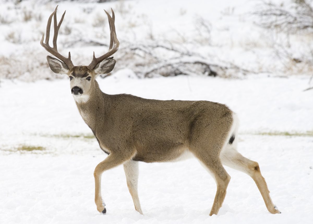
Animals around Owyhee River (Lower)






Destination Overview
Lake Owyhee State Park is located on the eastern edge of Oregon, offering a remote outdoor experience centered around the Owyhee Reservoir. This 53-mile-long lake fills a narrow, deep canyon, showcasing colorful volcanic rock formations. The park provides camping and boating opportunities, with many geological features best viewed from the water. Anglers can find warm water species like largemouth bass, white and black crappie, and catfish, with occasional rainbow trout stocking. The area is home to diverse wildlife, including golden eagles, coyotes, rabbits, pronghorn antelope, and mule deer. Keep an eye out for California bighorn sheep and mountain lions. The Owyhee River itself is a significant tributary of the Snake River, flowing through a remote, arid plateau and cutting deep canyons, some over 1,000 feet deep.
Boating and Exploration
Boating is a primary activity on the Owyhee Reservoir, allowing visitors to explore the extensive desert canyon and rugged mountains that define the landscape. Many boaters return annually to navigate the reservoir's length and access geological formations visible only by water. A boat ramp is available at the Gordon Gulch Day-use Area, which is open year-round. Additional boat ramps are located at McCormack Campground and Indian Creek Campground, though availability at Indian Creek is dependent on water levels. Due to fluctuating water levels, boat docks may be out of the water during summer months. It is advisable to check current water levels with the Bureau of Reclamation before visiting. The remote nature of the park means services are limited, and emergency assistance is distant.
Camping and Amenities
Lake Owyhee State Park features two campgrounds along the reservoir. McCormack Campground operates seasonally from April 1 to October 31, offering 29 electrical sites with water, nine tent sites, hot showers, flush toilets, and an RV dump station. Two sites are accessible. Indian Creek Campground is open year-round, with 22 electrical sites (two accessible) and two cabins (one pet-friendly, one accessible). Water access at both campgrounds may be turned off before April 15 and after October 15, depending on weather conditions. Firewood and ice are available for sale seasonally at both locations. Reservations for camping can be made up to six months in advance. The park also provides accessible amenities such as restrooms, vault toilets, fishing access, and viewpoints.
Wildlife Viewing and Natural Features
The Owyhee River region and surrounding Lake Owyhee State Park provide opportunities for wildlife observation. Common sightings include golden eagles, coyotes, ground squirrels, rabbits, pronghorn antelope, and mule deer. More elusive species like California bighorn sheep and mountain lions may also be present. Visitors should be aware of rattlesnakes. The landscape is characterized by its remote, arid plateau environment and dramatic canyon geology. The river system, part of one of the largest subbasins of the Columbia River Basin, cuts through extensive canyons with vertical walls, offering a stark and rugged natural setting. The reservoir itself was formed by the construction of an irrigation dam in 1932.
Sample itineraries
- Weekend Waterside Getaway · 2 days
Arrive Friday evening and set up camp at McCormack or Indian Creek. Spend Saturday boating and exploring the canyon's geology, fishing, or observing wildlife. Enjoy a campfire (if permitted) in the evening. Sunday can be used for more relaxed activities before departure.
- Extended Outdoor Adventure · 3 days
Spend three days exploring the Owyhee Reservoir. Day one focuses on boating and fishing. Day two can involve hiking nearby areas or further exploration of remote sections of the reservoir by boat. Day three allows for revisiting favorite spots or exploring new vantage points before heading out.
Seasonal conditions
Spring
April 1 - May 31
McCormack Campground opens April 1. Water may be off before April 15 depending on weather. Water levels in the reservoir begin to rise. Good time for fishing. Fire restrictions may be in place later in the season.
Summer
June 1 - August 31
Warm weather for boating and water activities. Boat docks may be out of the water due to lower reservoir levels. Fire restrictions are typically in effect, allowing only propane barbecues for cooking in designated areas. Cell phone service is unavailable.
Fall
September 1 - October 31
McCormack Campground closes October 31. Water may be off after October 15 depending on weather. Indian Creek Campground becomes first-come, first-served after October 30. Cooler temperatures for outdoor activities.
Winter
November 1 - March 31
Indian Creek Campground remains open year-round but is first-come, first-served. Potable water availability is seasonal. Gordon Gulch Day-use Area is open. Conditions will be cold and potentially wet. Boating may be limited by conditions and water levels.
| Season | Window | Conditions |
|---|---|---|
| Spring | April 1 - May 31 | McCormack Campground opens April 1. Water may be off before April 15 depending on weather. Water levels in the reservoir begin to rise. Good time for fishing. Fire restrictions may be in place later in the season. |
| Summer | June 1 - August 31 | Warm weather for boating and water activities. Boat docks may be out of the water due to lower reservoir levels. Fire restrictions are typically in effect, allowing only propane barbecues for cooking in designated areas. Cell phone service is unavailable. |
| Fall | September 1 - October 31 | McCormack Campground closes October 31. Water may be off after October 15 depending on weather. Indian Creek Campground becomes first-come, first-served after October 30. Cooler temperatures for outdoor activities. |
| Winter | November 1 - March 31 | Indian Creek Campground remains open year-round but is first-come, first-served. Potable water availability is seasonal. Gordon Gulch Day-use Area is open. Conditions will be cold and potentially wet. Boating may be limited by conditions and water levels. |
Permits, fees & closures
A day-use parking permit is required for day visitors. Purchase 1-day permits on site or a 12-month permit. For camping, reservations can be made six months in advance. Confirm current requirements with Oregon State Parks.
Fees: Day-use parking permit available for purchase on-site.
Reservations: Camping reservations can be booked six months in advance.
Official source: Lake Owyhee State Park - Oregon State Parks · Verified August 22, 2026
Hazards & regulations
- Rattlesnakes are present in the area.
- No cell phone service or pay phones at the park; remote location means emergency services are 33 miles away.
- Road to the reservoir is narrow and moderately steep in places; requires careful driving.
- Water levels in the reservoir fluctuate, potentially affecting boat dock access.
What to pack for Owyhee River (Lower)
- First aid kit
- Physical map of the area
- Navigation device (GPS)
- Emergency communication device (satellite messenger, if venturing far)
- Plenty of water
- Tent or RV setup
- Sleeping bags and pads
- Cooking stove and fuel (propane only during fire restrictions)
- Cooler with food and ice
- Headlamp or flashlight
- Fishing gear
- Boat and safety equipment
- Binoculars for wildlife viewing
- Sunscreen and hat
Owyhee River (Lower) FAQ
- Are fires allowed at Lake Owyhee State Park?
- During fire restrictions, only propane barbecues are permitted for cooking within designated areas. Other open flames, including charcoal briquettes and candles, are not allowed. Check current conditions before your visit.
- Is cell phone service available at the park?
- There is no cell phone service or pay phones available at Lake Owyhee State Park.
- When is the best time to visit for boating?
- Boating is popular during warmer months. However, boat docks may be out of the water during summer due to fluctuating reservoir levels. Check the Bureau of Reclamation website for current water levels before planning a trip.
- What kind of fish can be caught in Owyhee Reservoir?
- Anglers can expect to catch largemouth bass, white and black crappie, and catfish. Rainbow trout are occasionally stocked.
- How far are emergency services from the park?
- The nearest emergency services are 33 miles away in Nyssa, and the closest hospital is in Ontario, about an hour's drive from the park.
- Can I bring my pet to Lake Owyhee State Park?
- Pets are allowed in the park. One of the cabins at Indian Creek Campground is pet-friendly.