



- Region
- Alberta
- Country
- Canada
- Best for
- canoeing, camping, fishing
- Best season
- Spring, Summer
- Permits
- Confirm specific permit requirements with …
- Managed by
- Parks Canada (for permit information)
Plan with verified data
Pine Lake to Gillis Lake Loop (Entry Point 14, Little Indian Sioux North) trip tools
Tools for a trip here
Picked for how, when and where you're going. Free, no signup.
- Water Purification MatrixDrinking from the water you paddle — pick a treatment that fits.
- Layering CalculatorCold water: dress for immersion, not just the air temperature.
- Sleep System Temp CalculatorCold nights: check your bag and pad add up to a safe sleep.
- The 10 EssentialsBackcountry safety basics, printable.
- Packing ChecklistsPrintable packing list for this kind of trip.
How to get there
Access to Entry Point 14 (Little Indian Sioux North) begins in Ely, MN. From Ely, drive east on Highway 169 for 1.8 miles, then turn left onto Highway 88/Grant McMahan Blvd for 2.2 miles. Turn right onto Echo Trail and continue for 29.4 miles, then turn right at the #14 Little Indian Sioux North Public Access. The parking lot is half a mile down this driveway, followed by a 40-rod portage to the river.
- Entry Point 14 - Little Indian Sioux North Public Access
From Ely, MN, take Hwy 169 E, then Hwy 88/Grant McMahan Blvd, followed by Echo Trail for 29.4 miles. Turn right into the public access driveway.
Sources: parks.canada.ca · youtube.com · bwca.com · Ely Outfitting Company. Confirm road and trailhead conditions with the managing agency before you leave.
Alberta · Canada · Season: Late spring through early fall
- Canoeing
- Kayaking
- Hunting
- Wildlife Viewing
- Fishing
Overview
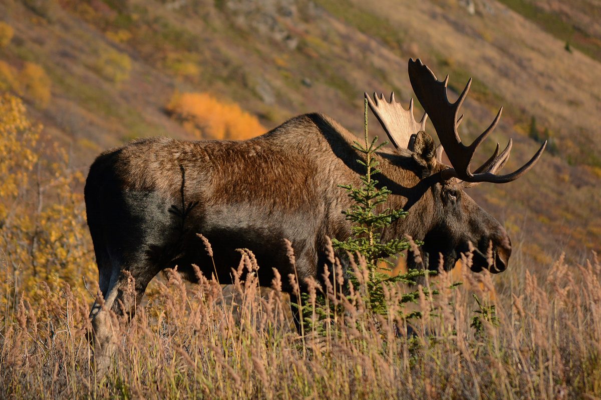
Accessed from the remote Little Indian Sioux North entry, this loop delivers a true wilderness experience with minimal portage difficulty for the reward. You'll paddle through a series of lakes and river sections, eventually reaching the stunning Gillis Lake. The initial portages are straightforward. The area is known for its excellent fishing and high chances of spotting moose and other wildlife due to its remoteness. Campsites are generally well-spaced and offer a genuine backcountry feel. Nearest town is Orr or Ely, but it's a longer drive to this entry point. This route is best for those seeking solitude and willing to drive a bit further for it. It's a multi-day trip, typically 4-6 days. Bugs can be fierce in early summer, and the remoteness means you need to be self-sufficient. This is a highly rewarding route for those who want to feel truly away from it all.
Planning notes
Where: Alberta, Canada Best season: Late spring through early fall Good for: Canoeing, Camping, Fishing Featured on: Top 10 Flatwater Canoe Routes: Boundary Waters Multi-day (#8) Access point: Pine Lake, AB T0M 1R0, Canada
Check current permits, closures and fire restrictions with the managing agency before you commit to dates.
Where on earth
Satellite imagery flying in from a world view to Pine Lake to Gillis Lake Loop (Entry Point 14, Little Indian Sioux North), Canada. Use the + / − buttons, or click the map to zoom with your scroll wheel; drag to pan and pinch to zoom on touch.
Coordinates
- Decimal degrees
- 52.1097, -113.4807
- Latitude (DMS)
- 52° 6′ 35.0″ N
- Longitude (DMS)
- 113° 28′ 50.5″ W
Coordinates are an access-point reference for Pine Lake to Gillis Lake Loop (Entry Point 14, Little Indian Sioux North), not a route. Carry a paper map and confirm trailhead or put-in access with the managing agency before you go.
Topic summary
Accessed from the remote Little Indian Sioux North entry, this loop delivers a true wilderness experience with minimal portage difficulty for the reward.
Key takeaways
- Region: Alberta
- Country: Canada
- Best season: Late spring through early fall
- Good for: canoeing, camping, fishing
- Coordinates: 52.110, -113.481
Intended uses
- canoeing
- camping
- fishing
Climate suitability
Late spring through early fall
Keep planning
Popular pursuits at Pine Lake to Gillis Lake Loop (Entry Point 14, Little Indian Sioux North)
- Canoeing
Paddle routes, portages, and put-ins.
- Kayaking
Sheltered and open-water paddling lines.
- Hunting
Seasons, tags, and the units that hold animals.
- Wildlife Viewing
Best light, best season, and where animals move.
- Fishing
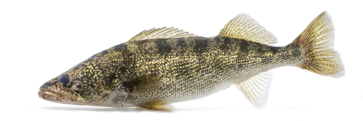
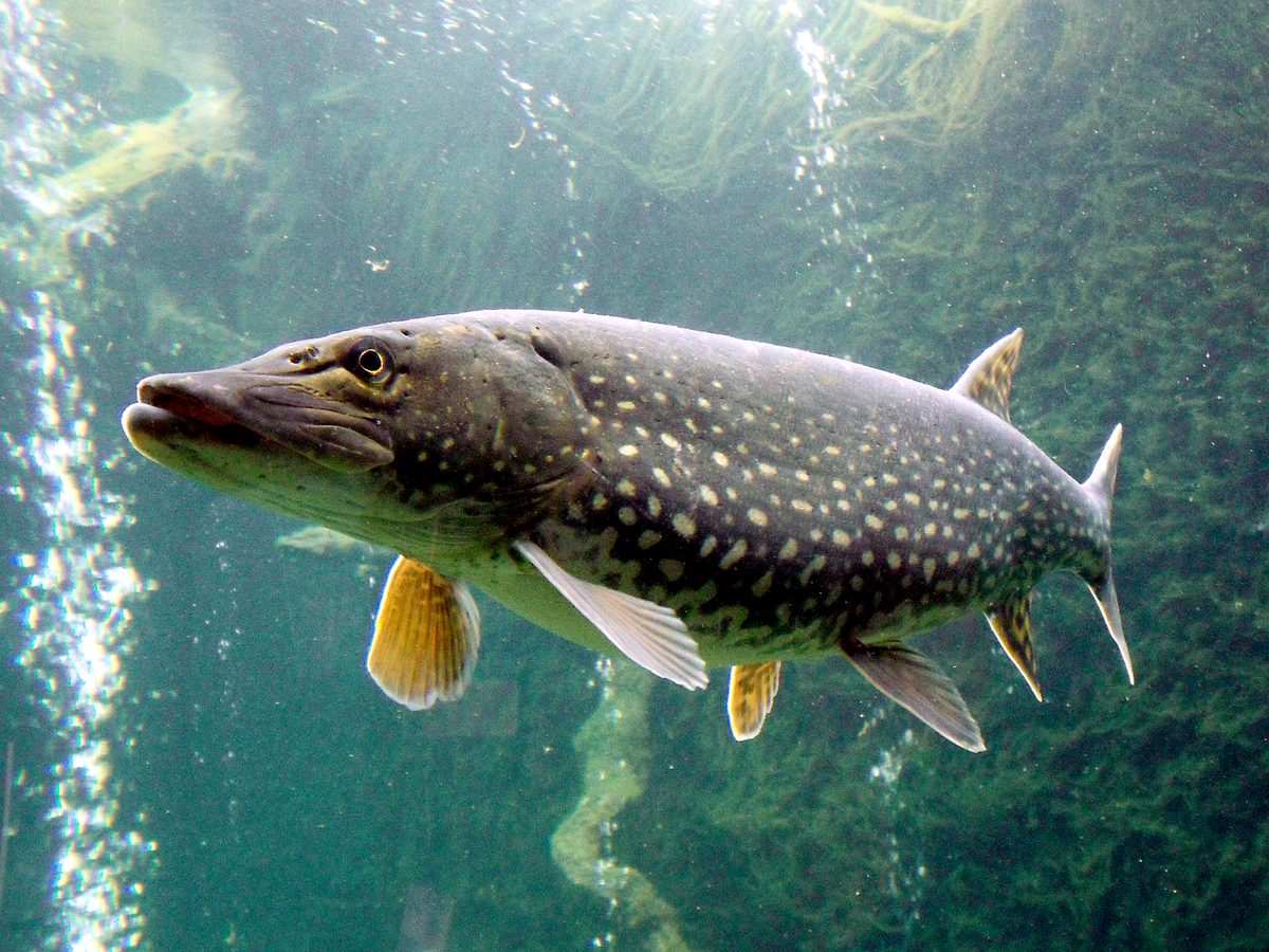
Resident gamefish, seasons, and the water that holds them.
Animals around Pine Lake to Gillis Lake Loop (Entry Point 14, Little Indian Sioux North)




Navigating the Little Indian Sioux River North
This entry point offers access to the Little Indian Sioux River North, leading into a broader loop. The journey begins with a 60-rod portage, opening into the river system. Early morning starts are recommended, especially during hot weather, to beat the heat. The river features several beaver dams that require portaging over. These dams, some described as 'mansions,' showcase impressive beaver construction. Along the river, specific markers like a beaver hut indicate forks in the path, guiding paddlers. As the trip progresses, the river eventually leads to larger lakes, with varying conditions from calm waters to windy expanses, especially on open sections. The landscape transitions from riverine to more open lake environments, with opportunities to encounter diverse natural features and potential campsites.
Campsite Selection and Features
Finding an ideal campsite is crucial for comfort and relaxation. On one occasion, a campsite on Lon Lake was chosen for its sandy beach and good wind exposure, offering a pleasant reprieve from high temperatures. This particular site featured multiple tent pads, suitable for large groups, and pre-existing firewood left by previous campers. The presence of poison ivy at the site highlights the importance of awareness of surrounding flora. Observations at the site included an old tree limb that had fallen, creating a potential habitat for owls, corroborated by the discovery of owl pellets. These details suggest a blend of prepared amenities and wild, natural elements within the camping experience. Shaded areas are often sought after, especially during warmer parts of the day.
Exploring Lac La Croix and Pictographs
From the river system, it is possible to venture north to Lac La Croix, a notable feature of the region. A specific point of interest on Lac La Croix is a pictograph cliff, accessible via a day trip from a basecamp. The approach to Lac La Croix may involve specific portages, such as the Bey-Batty Portage, which has unique features like railroad tracks for boats. Lac La Croix itself offers expansive views and can be a significant leg of the journey, with potential for encountering motorized boats. The pictographs provide a cultural and historical element to the natural landscape, offering a glimpse into the area's past. The area around Lac La Croix offers different perspectives and experiences compared to the more sheltered river sections.
Seasonal Considerations and Wildlife Encounters
The timing of a trip significantly influences the experience. Early September can bring hot conditions, with heat indexes reaching 100 degrees Fahrenheit, making early starts and water activities essential. Weather patterns can be unpredictable, with potential for severe storms altering trip plans. The changing leaves indicate the onset of fall, adding to the scenic beauty. Wildlife encounters are common, including beavers and chipmunks. Beaver dams are a prominent feature of the river, requiring navigation. Leeches may be encountered in the water. The presence of owls is also noted, particularly in older trees near campsites. Awareness of weather forecasts and local wildlife is important for planning and safety.
Sample itineraries
- 50-Mile Loop (Altered) · 0 days
Initially planned as a 50-mile loop, this trip was altered due to weather conditions to a 10-mile basecamp trek. It included paddling to Lac La Croix to visit pictographs.
Seasonal conditions
Spring
Not specified
Not specified in references.
Summer
Not specified
Can be very hot, with heat indexes over 100 degrees Fahrenheit, making early starts and staying hydrated crucial. Water activities like swimming are essential for comfort.
Fall
September
Early September can still experience very hot temperatures. Leaves begin changing color, indicating the transition to fall. Weather can be unpredictable, with potential for severe storms.
Winter
Not specified
Not specified in references.
| Season | Window | Conditions |
|---|---|---|
| Spring | Not specified | Not specified in references. |
| Summer | Not specified | Can be very hot, with heat indexes over 100 degrees Fahrenheit, making early starts and staying hydrated crucial. Water activities like swimming are essential for comfort. |
| Fall | September | Early September can still experience very hot temperatures. Leaves begin changing color, indicating the transition to fall. Weather can be unpredictable, with potential for severe storms. |
| Winter | Not specified | Not specified in references. |
Permits, fees & closures
Confirm specific permit requirements with the managing agency. Parks Canada offers various passes and permits. Free admission is available for youth 17 and under, newcomers to Canada, support persons with visitors with disabilities, and Canadian Armed Forces members/veterans and their families. During June 19 to September 7, 2026, Parks Canada offers free admission via the Canada Strong Pass, which also includes a 25% discount on camping and overnight stays, and no fees for lockage at seven historic waterways. A Discovery Pass provides 12 months of admission to over 80 destinations, available for purchase online and in-person outside of Canada Strong Pass periods. Single-location passes are also available.
Fees: Regular daily admission and service fees are charged at most national parks and historic sites, supporting visitor programs, services, facilities, and conservation efforts. During the Canada Strong Pass period (June 19 to September 7, 2026), admission is free, and there is a 25% discount on camping and overnight stays. Other fees for mooring, boat launching, and specific activities may still apply. Lockage permits will not be sold online in 2026.
Reservations: Parks Canada Discovery Passes and single-location passes are available for purchase. Seasonal mooring permits are available on-site starting in spring. Lockage and other boating permits are available on-site.
Official source: Passes, permits and fees - Parks Canada · Verified August 15, 2026
Hazards & regulations
- Hot weather (temperatures in the 90s Fahrenheit, heat index over 100 degrees Fahrenheit)
- Beaver dams requiring portaging over
- Leeches in the water
- Poison ivy at campsites
- Potential severe storms
- Windy conditions on open lakes
What to pack for Pine Lake to Gillis Lake Loop (Entry Point 14, Little Indian Sioux North)
- Aged cheese (lower moisture content is better for warm conditions)
- Awareness of weather forecasts
Pine Lake to Gillis Lake Loop (Entry Point 14, Little Indian Sioux North) FAQ
- What are the common weather conditions in early September?
- Early September can be very hot, with daily temperatures in the 90s and heat indexes over 100 degrees Fahrenheit. The weather can also be unpredictable with potential for severe storms. Leaves begin to change color.
- Are there specific wildlife concerns?
- Beavers are prominent, with numerous beaver dams to navigate. Leeches may be encountered in the water. Owls and chipmunks can be seen around campsites. Be aware of poison ivy at campsites.
- What is the initial portage like?
- The journey starts with a 60-rod portage into the Little Indian Sioux River North.
- What is the Bey-Batty Portage?
- The Bey-Batty Portage is a portage leading towards Lac La Croix, notable for having 'railroad tracks for boats'.
- What special features are on Lac La Croix?
- Lac La Croix features a pictograph cliff that can be visited as a day trip. The lake offers expansive views and may have motorized boat traffic.