



- Region
- CA, USA
- Country
- United States
- Best for
- hiking
- Best season
- Spring, Summer
- Permits
- Confirm current permit requirements and tr…
- Managed by
- Bureau of Land Management, Barstow Field Office
Plan with verified data
Saddle Peak Hills Wilderness trip tools
Tools for a trip here
Picked for how, when and where you're going. Free, no signup.
Photos of Saddle Peak Hills Wilderness
How to get there
Confirm a lawful approach and starting point with the Bureau of Land Management Barstow Field Office at 760-252-6000. The wilderness includes the northern Saddle Peak Hills and northwestern Silurian Valley, adjoining Death Valley National Park along its southern and western boundaries. The inventory map point at 35.783922, -116.340132 is inside the wilderness; it is not a trailhead, campsite, or access point.
- Northern Saddle Peak Hills
A geographic area within the wilderness, not a confirmed trailhead or vehicle access point. Ask the BLM to identify a lawful approach before planning a start here.
- Northwestern Silurian Valley
The valley portion of the wilderness, not a confirmed entrance or parking location. Confirm the boundary and a suitable starting point with the BLM.
Sources: blm.gov · University of Montana / federal agency partners · Wilderness Connect / federal wilderness boundary inventory. Confirm road and trailhead conditions with the managing agency before you leave.
CA, USA · United States
- Mountaineering
- Desert Hiking
- Canyoneering
- Surfing
- Hiking
- Wildlife Viewing
A small wilderness beside Death Valley
Saddle Peak Hills Wilderness protects the northern end of the Saddle Peak Hills and the northwestern portion of the Silurian Valley in California. Its southern and western boundaries meet Death Valley National Park, but this wilderness is managed by the Bureau of Land Management. Designated under the California Desert Protection Act of 1994, it is the smallest of the areas designated by that act. The landscape combines low desert valley terrain with hills cut by curving faults. That contrast is the main reason to consider a walking trip here: valley-floor surroundings and higher, broken ground occupy the same compact wilderness. Plan around the actual wilderness boundary rather than assuming neighboring park land has the same management or access arrangements.
Terrain and hiking preparation
Elevations range from about 500 feet on the Silurian Valley floor to about 2,500 feet atop the hills. These figures describe the landscape, not the elevation gain of a particular hike. Hiking is an identified activity here, but a trip should begin with map study and confirmation of a suitable approach rather than an assumption that a marked trail connects the valley and hilltops. For this Southern California desert setting, carry sufficient water, sun protection, and navigation tools, and check the weather before setting out. Choose an outing that fits the heat, available daylight, and the group's ability to return safely. Higher ground and valley-floor walking are different planning choices; neither should be treated as an established route without further confirmation.
Wilderness travel and low-impact use
Wilderness designation shapes how to travel here. Motorized equipment and mechanical transport are generally prohibited, including motor vehicles, OHVs, bicycles, wagons, and carts. Do not plan a vehicle or bicycle route through the wilderness interior. Contact the BLM Barstow Field Office to clarify applicable regulations and confirm access before departure. On foot, apply desert-appropriate Leave No Trace practices: travel and camp on durable surfaces, pack out waste, leave natural features where they are, and respect wildlife and other visitors. Minimize campfire impacts rather than assuming a fire is appropriate for an outing. Preparation matters as much as conduct on the ground: establish a lawful starting point, understand the boundary with Death Valley National Park, and make a return plan suited to desert conditions.
Where on earth
Satellite imagery flying in from a world view to Saddle Peak Hills Wilderness, United States. Use the + / − buttons, or click the map to zoom with your scroll wheel; drag to pan and pinch to zoom on touch.
Coordinates
- Decimal degrees
- 35.7839, -116.3401
- Latitude (DMS)
- 35° 47′ 2.1″ N
- Longitude (DMS)
- 116° 20′ 24.5″ W
Coordinates are an access-point reference for Saddle Peak Hills Wilderness, not a route. Carry a paper map and confirm trailhead or put-in access with the managing agency before you go.
Topic summary
Smallest of the areas designated by the California Desert Protection Act of 1994, this Wilderness includes the northern end of the Saddle Peak Hills and the northwestern portion of the Silurian Valley....
Key takeaways
- Region: CA, USA
- Country: United States
- Good for: hiking
- Coordinates: 35.784, -116.340
Intended uses
hiking
Keep planning
Popular pursuits at Saddle Peak Hills Wilderness
- Mountaineering
Glacier and high-route objectives with real consequence.
- Desert Hiking
Water carries and heat management drive the plan.
- Canyoneering
Narrows, downclimbs, and flash-flood timing.
- Surfing
Swell windows and access from camp.
- Hiking
Day miles on marked trail, with route notes and trail links below.
- Wildlife Viewing
Best light, best season, and where animals move.
Animals around Saddle Peak Hills Wilderness

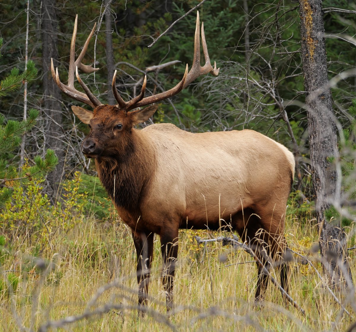
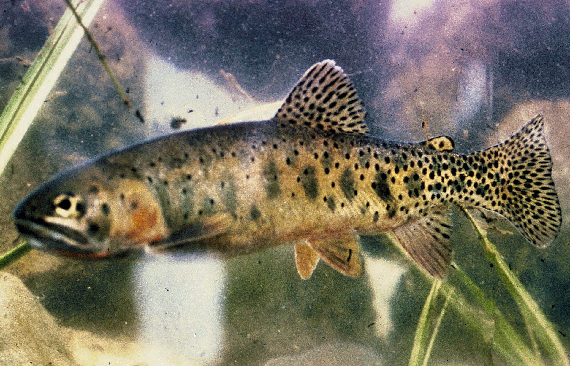

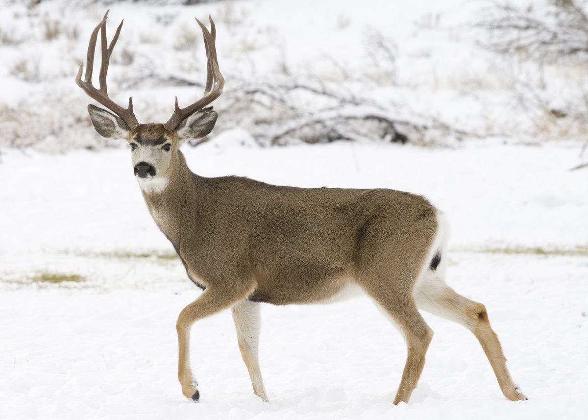
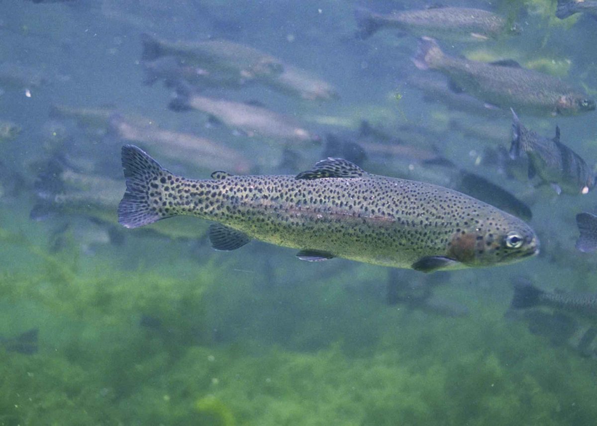
A small wilderness beside Death Valley
Saddle Peak Hills Wilderness protects the northern end of the Saddle Peak Hills and the northwestern portion of the Silurian Valley in California. Its southern and western boundaries meet Death Valley National Park, but this wilderness is managed by the Bureau of Land Management. Designated under the California Desert Protection Act of 1994, it is the smallest of the areas designated by that act. The landscape combines low desert valley terrain with hills cut by curving faults. That contrast is the main reason to consider a walking trip here: valley-floor surroundings and higher, broken ground occupy the same compact wilderness. Plan around the actual wilderness boundary rather than assuming neighboring park land has the same management or access arrangements.
Terrain and hiking preparation
Elevations range from about 500 feet on the Silurian Valley floor to about 2,500 feet atop the hills. These figures describe the landscape, not the elevation gain of a particular hike. Hiking is an identified activity here, but a trip should begin with map study and confirmation of a suitable approach rather than an assumption that a marked trail connects the valley and hilltops. For this Southern California desert setting, carry sufficient water, sun protection, and navigation tools, and check the weather before setting out. Choose an outing that fits the heat, available daylight, and the group's ability to return safely. Higher ground and valley-floor walking are different planning choices; neither should be treated as an established route without further confirmation.
Wilderness travel and low-impact use
Wilderness designation shapes how to travel here. Motorized equipment and mechanical transport are generally prohibited, including motor vehicles, OHVs, bicycles, wagons, and carts. Do not plan a vehicle or bicycle route through the wilderness interior. Contact the BLM Barstow Field Office to clarify applicable regulations and confirm access before departure. On foot, apply desert-appropriate Leave No Trace practices: travel and camp on durable surfaces, pack out waste, leave natural features where they are, and respect wildlife and other visitors. Minimize campfire impacts rather than assuming a fire is appropriate for an outing. Preparation matters as much as conduct on the ground: establish a lawful starting point, understand the boundary with Death Valley National Park, and make a return plan suited to desert conditions.
Route options
- Silurian Valley hiking planning area
Consider the wilderness's northwestern Silurian Valley portion when discussing a valley-floor outing with the BLM. This is a terrain-based planning option, not an established or verified route; a starting point and walking line still need confirmation.
- Northern Saddle Peak Hills hiking planning area
Consider the northern hills for an outing focused on the wilderness's higher, fault-cut terrain. This is not a named trail or verified summit itinerary. Confirm access and assess the terrain before choosing a walking line.
Sample itineraries
- Silurian Valley Day Hike · 1 day
Plan a conservative walk in the wilderness's northwestern portion of the Silurian Valley, where elevations reach roughly 500 feet. Confirm legal access with BLM and choose your turnaround around heat, water and daylight. This is a planning concept, not an established trail.
- Northern Saddle Peak Hills Exploration · 1 day
Explore the northern Saddle Peak Hills on foot, adjusting the outing to terrain and navigation skills. The fault-cut hills rise to about 2,500 feet. Confirm access and boundaries before choosing a route; do not assume a marked trail or a maintained summit route.
Seasonal conditions
Spring
During cooler weather
Use the forecast rather than the season alone to judge hiking conditions. Low desert terrain can become warm; carry all needed water and keep the day's distance flexible.
Summer
Only when temperatures allow safe travel
Treat heat as a primary planning concern in this low-elevation desert setting. Avoid strenuous outings in hot weather, and do not rely on an early start to make an otherwise unsafe forecast manageable.
Fall
After temperatures moderate
Choose hiking days based on actual temperatures, not an assumed seasonal cooldown. Carry sun protection and enough water for delays, and leave time to navigate back before dark.
Winter
During suitable weather
Prepare for cool conditions as well as sun exposure. Carry insulating and wind-resistant layers, check the forecast, and allow ample daylight for travel through desert hills.
| Season | Window | Conditions |
|---|---|---|
| Spring | During cooler weather | Use the forecast rather than the season alone to judge hiking conditions. Low desert terrain can become warm; carry all needed water and keep the day's distance flexible. |
| Summer | Only when temperatures allow safe travel | Treat heat as a primary planning concern in this low-elevation desert setting. Avoid strenuous outings in hot weather, and do not rely on an early start to make an otherwise unsafe forecast manageable. |
| Fall | After temperatures moderate | Choose hiking days based on actual temperatures, not an assumed seasonal cooldown. Carry sun protection and enough water for delays, and leave time to navigate back before dark. |
| Winter | During suitable weather | Prepare for cool conditions as well as sun exposure. Carry insulating and wind-resistant layers, check the forecast, and allow ample daylight for travel through desert hills. |
Permits, fees & closures
Confirm current permit requirements and trip regulations with the BLM Barstow Field Office at 760-252-6000.
Official source: Saddle Peak Hills Wilderness - California · Verified November 10, 2026
Hazards & regulations
- Desert heat and sun exposure can make exertion unsafe; shorten or postpone hikes when temperatures are too high.
- Dehydration is a serious desert-travel concern. Carry all needed drinking water rather than planning around an unverified source.
- Desert mountain terrain requires careful footing and route judgment. Keep the outing within the group's ability.
- Navigation errors can complicate travel near wilderness and national park boundaries. Carry a boundary map; an interior map point is not an access point.
What to pack for Saddle Peak Hills Wilderness
- Drinking water sufficient for the outing and delays
- Sun hat
- Sunscreen
- Sun-protective clothing
- Topographic map showing wilderness boundaries
- Compass
- Offline navigation with backup power
- Headlamp
- First-aid kit
- Sturdy hiking footwear
- Insulating layer
- Wind-resistant outer layer
- Food for the outing and delays
- Bag for packing out waste
Saddle Peak Hills Wilderness FAQ
- Where is Saddle Peak Hills Wilderness?
- This California wilderness includes the northern end of the Saddle Peak Hills and the northwestern portion of the Silurian Valley. Its southern and western boundaries adjoin Death Valley National Park.
- What is the terrain like?
- Expect Southern California desert land and mountains, with curving faults cutting the hills. Elevations range from about 500 feet on the Silurian Valley floor to about 2,500 feet atop the hills.
- How should access be planned?
- Contact the BLM Barstow Field Office at 760-252-6000 to confirm legal access and obtain mapping guidance. Do not navigate to an interior inventory map point expecting a trailhead, parking area or campsite.
- Are bicycles or motor vehicles allowed?
- Motorized equipment and mechanical transport, including bicycles and OHVs, are generally prohibited in federally designated wilderness. Ask BLM about any applicable exceptions before planning activities involving such equipment.
- How can visitors reduce their impact?
- Travel and camp on durable surfaces, dispose of waste properly, leave natural objects where they are, minimize campfire impacts, respect wildlife and be considerate of other visitors.
- What distinguishes this wilderness?
- It is the smallest area designated as wilderness by the California Desert Protection Act of 1994. Its landscape combines a portion of the Silurian Valley with the fault-cut northern Saddle Peak Hills.