



- Region
- United States
- Best for
- kayaking, camping
- Best season
- Spring, Summer
- Permits
- Confirm specific permit requirements with …
- Managed by
- Bureau of Land Management
Plan with verified data
Upper Klamath River trip tools
Tools for a trip here
Picked for how, when and where you're going. Free, no signup.
- Water Purification MatrixDrinking from the water you paddle — pick a treatment that fits.
- Layering CalculatorCold water: dress for immersion, not just the air temperature.
- Sleep System Temp CalculatorCold nights: check your bag and pad add up to a safe sleep.
- The 10 EssentialsBackcountry safety basics, printable.
- Packing ChecklistsPrintable packing list for this kind of trip.
How to get there
From Ashland, Oregon, travel east on State Highway 66 for approximately 43 miles. Turn right onto J.C. Boyle Powerhouse Road (40-6E-1.2) and follow it for approximately 4 miles to Spring Island Day Use Site. From Klamath Falls, Oregon, travel west on State Highway 66 for approximately 30 miles. Turn left onto J.C. Boyle Powerhouse Road (40-6E-1.2) and follow it for approximately 4 miles to Spring Island Day Use Site. Access is also available on the opposite side of the river via Topsy Road, but this route can be rough at times.
- Spring Island Day Use Site
A primary access point with picnic tables, a toilet, whitewater put-in/take-out, message board, registration drop box, and fishing access.
Sources: blm.gov · Wikipedia · Wikivoyage. Confirm road and trailhead conditions with the managing agency before you leave.
United States · United States · Season: Late spring through early fall
- Canoeing
- Kayaking
- Rafting
- Desert Hiking
- Canyoneering
- Fishing
Overview
The Upper Klamath, particularly the 'Hell's Gate' section, is not for the faint of heart. This is serious Class IV-IV+ whitewater, often dubbed the 'Big K,' known for its continuous, technical, and high-volume rapids. It flows through a remote, arid canyon on the Oregon-California border, offering a unique blend of high desert scenery and intense whitewater. The season is typically late spring through fall, thanks to reliable dam releases from Link River Dam. Access is from near Keno, Oregon, requiring a drive into a fairly remote area. This is strictly for experienced paddlers or those going with highly competent commercial outfitters. The remoteness means self-sufficiency is key. Expect long days on the water with very little flatwater between drops. The trade-off is its intensity and the commitment required; this isn't a casual float. No specific permits beyond standard state regulations, but it's crucial to have solid river skills and a well-equipped group.
Why it stands out
Continuous, technical Class IV-IV+ whitewater
High volume rapids, including 'Caldera' and 'Hell's Gate'
Remote high desert canyon scenery
Reliable flows due to dam releases
Challenging and rewarding for experienced rafters
Know before you go
Very demanding, not suitable for beginners
Remote access, requires self-sufficiency
Long day on the water with continuous rapids
Potential for long swims in cold, powerful water
Planning notes
Where: United States, United States Best season: Late spring through early fall Good for: Kayaking, Camping Featured on: Top 10 Whitewater Rafting Trips in the Pacific Northwest (#5) Access point: Klamath River, United States
Check current permits, closures and fire restrictions with the managing agency before you commit to dates.
Field notes
- Continuous, technical Class IV-IV+ whitewater
- High volume rapids, including 'Caldera' and 'Hell's Gate'
- Remote high desert canyon scenery
- Reliable flows due to dam releases
- Challenging and rewarding for experienced rafters
Where on earth
Satellite imagery flying in from a world view to Upper Klamath River, United States. Use the + / − buttons, or click the map to zoom with your scroll wheel; drag to pan and pinch to zoom on touch.
Coordinates
- Decimal degrees
- 41.6948, -122.9523
- Latitude (DMS)
- 41° 41′ 41.2″ N
- Longitude (DMS)
- 122° 57′ 8.4″ W
Coordinates are an access-point reference for Upper Klamath River, not a route. Carry a paper map and confirm trailhead or put-in access with the managing agency before you go.
Topic summary
The Upper Klamath, particularly the 'Hell's Gate' section, is not for the faint of heart.
Key takeaways
- Region: United States
- Country: United States
- Best season: Late spring through early fall
- Good for: kayaking, camping
- Coordinates: 41.695, -122.952
Intended uses
- kayaking
- camping
Climate suitability
Late spring through early fall
Keep planning
Popular pursuits at Upper Klamath River
- Canoeing
Paddle routes, portages, and put-ins.
- Kayaking
Sheltered and open-water paddling lines.
- Rafting
Whitewater sections and the flows that make them run.
- Desert Hiking
Water carries and heat management drive the plan.
- Canyoneering
Narrows, downclimbs, and flash-flood timing.
- Fishing
Resident gamefish, seasons, and the water that holds them.
Animals around Upper Klamath River


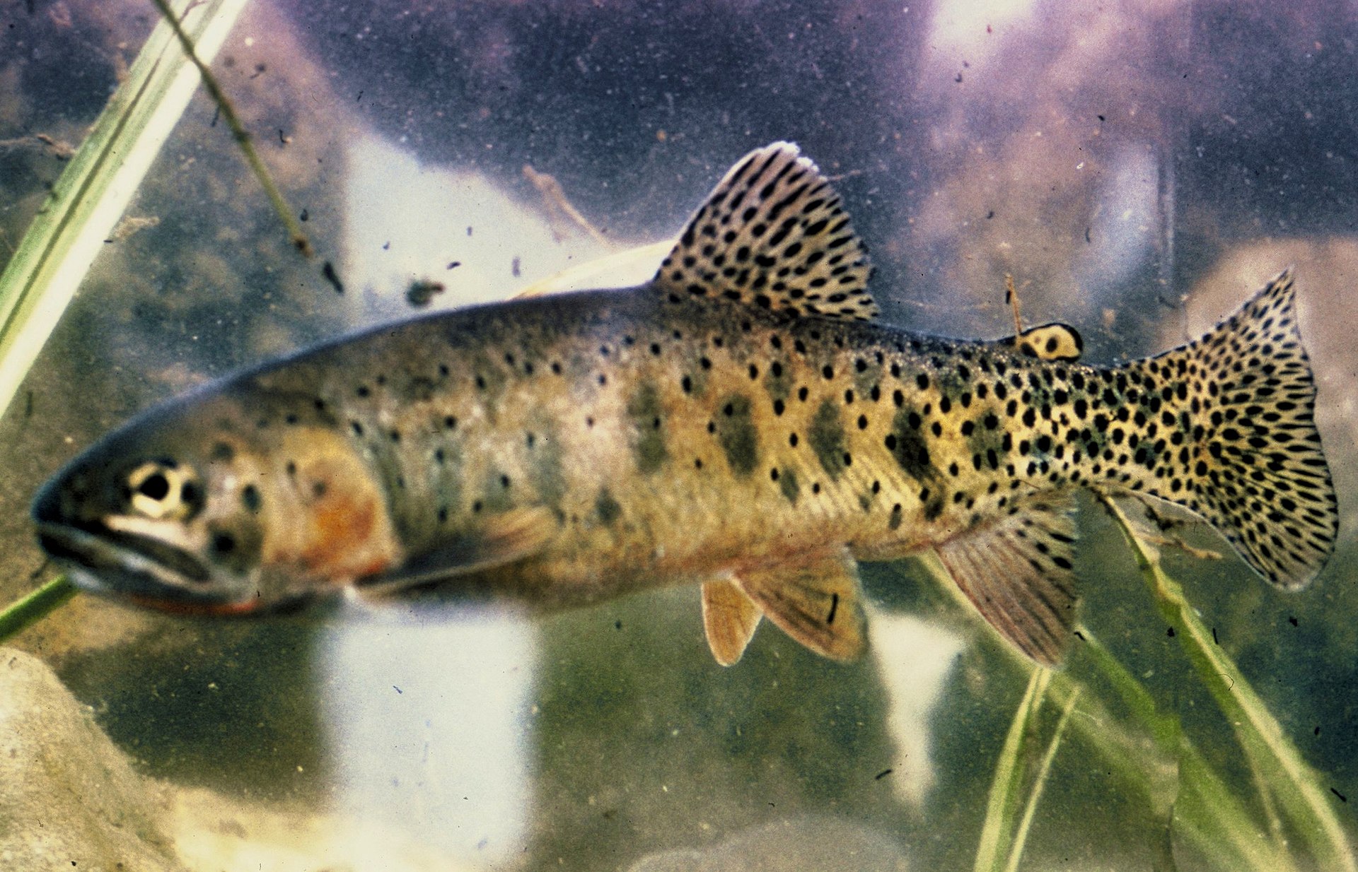

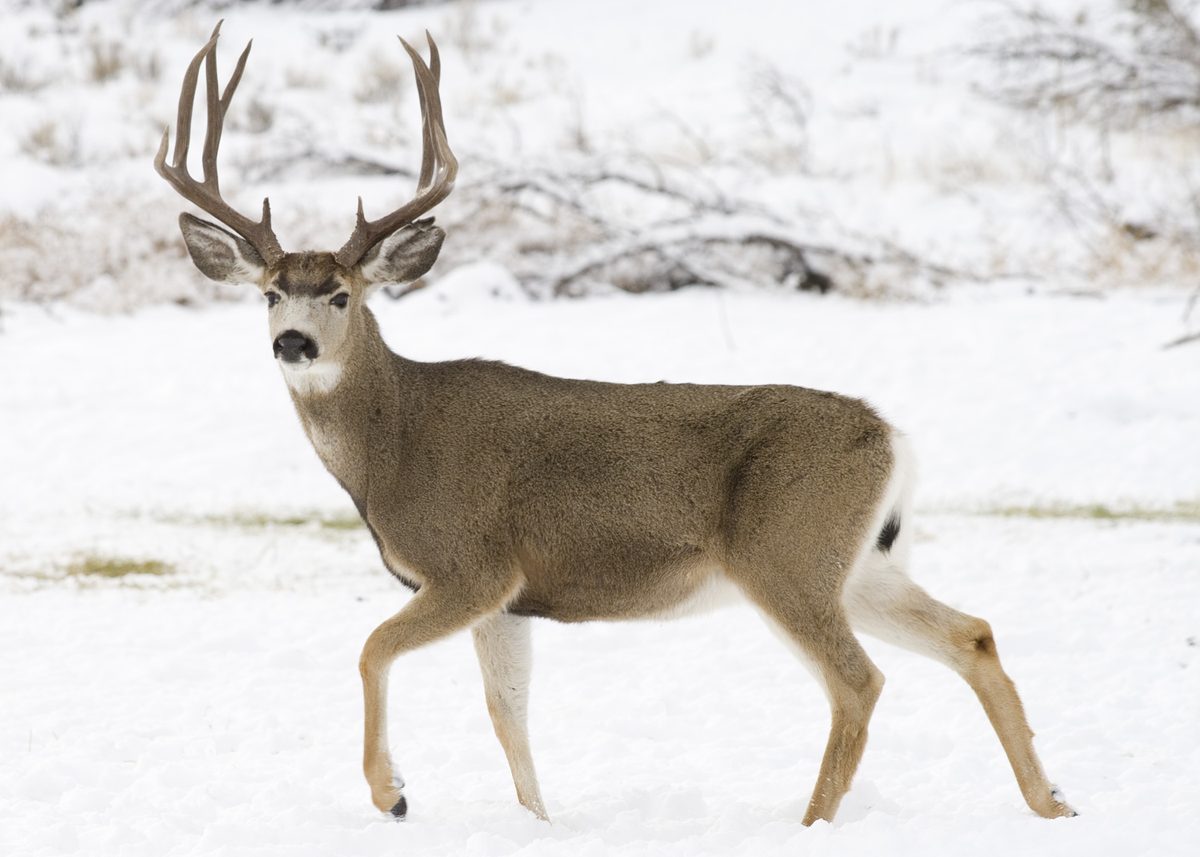



Upper Klamath River Overview
The Upper Klamath Wild and Scenic River originates in Oregon's Klamath Basin, flowing through the Cascades and Klamath Mountains. This segment of the river is renowned for its exceptional whitewater boating opportunities, featuring warm water and rapids primarily ranging from Class III to IV+. The consistent water releases from the J.C. Boyle Dam and Powerhouse by PacifiCorp contribute to a lengthy season of use. Beyond whitewater, the river corridor supports diverse outdoor activities including camping, fishing, hunting, and scenic touring. The Bureau of Land Management (BLM) manages several recreation sites within the area, offering both day-use and camping facilities. The river's outstandingly remarkable values encompass recreation, wildlife, fish, prehistoric and historic resources, scenic qualities, and Native American traditional uses, making it a significant natural and cultural landscape.
Whitewater Boating and Recreation
The Upper Klamath River is a premier destination for whitewater enthusiasts, offering rafting, canoeing, and kayaking experiences. Rapids are classified from Class III to IV+, indicating an advanced to expert skill level is often required for navigating certain sections. For those less experienced, various guided trips ranging from one to three days are available through outfitters. River conditions fluctuate daily, with flows typically ranging between approximately 300 and 2,000 cubic feet per second (cfs). Information on water releases can be obtained in advance from PacifiCorp. In addition to boating, the river boasts an outstanding trout fishery with high catch rates and extensive shoreline access. The canyon's remote nature provides a semi-primitive camping experience, with opportunities for isolation. Visitors can also enjoy scenic drives, wildlife viewing, and hunting.
Historical and Ecological Significance
The Upper Klamath River and its canyon hold profound prehistoric and historic significance. Archaeological evidence indicates continuous use by various cultural groups for thousands of years, with artifacts dating back over 7,600 years. The canyon is deeply spiritual for at least two cultural groups and remains vital for traditional activities and resource procurement. Historic sites within the canyon reflect early ranching, farming, settlement, transportation, and logging activities, including the historic Topsy Road dating to 1875. Ecologically, the area is rich in wildlife, supporting numerous nesting raptors, bat colonies, and game species such as turkeys, deer, elk, and various quail. The canyon’s distinct topography, characterized by steep basalt walls rising 1,000 feet above the river, combined with diverse vegetation and minimal cultural modification, creates a visually striking landscape.
Conservation and Designation
The Upper Klamath River has received significant conservation designations, underscoring its natural and cultural importance. In 1994, an 11-mile segment of the Klamath River within Oregon, from the J.C. Boyle Dam Powerhouse to the California/Oregon border, was designated as a 'Scenic' Wild and Scenic River under the Wild and Scenic Rivers Act. This designation includes a 0.25-mile corridor on either side of the river. Prior to this, the state of Oregon designated the same 11-mile segment as a State Scenic Waterway in 1988. Furthermore, the entire river canyon has been recognized as an Area of Critical Environmental Concern (ACEC), a designation first established in 1995 and refined in 2016, protecting its rim-to-rim integrity.
Sample itineraries
- Whitewater Boating Adventure · 1 day
Experience the Upper Klamath River's Class III to IV+ rapids. Day trips are popular for seasoned paddlers or those seeking guided experiences. This allows for a full day of whitewater activity on the main river segment.
- Multi-Day River and Camping Trip · 3 days
Embark on a multi-day river journey, combining whitewater boating with a semi-primitive camping experience. Guided options are available for up to three days, allowing for deeper exploration of the canyon and opportunities for fishing and wildlife viewing, with nights spent at designated campgrounds or primitive sites.
Seasonal conditions
Spring
Hunting opportunities exist. River flows are sustained by dam releases, allowing for whitewater activities.
Summer
The river has a lengthy season of use due to steady water releases. Expect warm water temperatures for whitewater boating. Popular for camping and fishing.
Fall
Hunting opportunities exist. River flows are sustained by dam releases, allowing for whitewater activities. Good for scenic viewing and wildlife observation.
Winter
Hunting opportunities exist. Conditions can include rough road surfaces, requiring caution and potentially four-wheel drive vehicles.
| Season | Window | Conditions |
|---|---|---|
| Spring | Hunting opportunities exist. River flows are sustained by dam releases, allowing for whitewater activities. | |
| Summer | The river has a lengthy season of use due to steady water releases. Expect warm water temperatures for whitewater boating. Popular for camping and fishing. | |
| Fall | Hunting opportunities exist. River flows are sustained by dam releases, allowing for whitewater activities. Good for scenic viewing and wildlife observation. | |
| Winter | Hunting opportunities exist. Conditions can include rough road surfaces, requiring caution and potentially four-wheel drive vehicles. |
Permits, fees & closures
Confirm specific permit requirements with the Bureau of Land Management for any planned activities.
Official source: Upper Klamath Wild and Scenic River - Bureau of Land Management · Verified September 9, 2026
Hazards & regulations
- Whitewater rapids classified as Class III to IV+ require advanced to expert skills.
- Road conditions can be rough; four-wheel drive, high clearance, and adequate tire tread may be necessary.
- River flows fluctuate daily, ranging between approximately 300 cfs to 2,000 cfs.
What to pack for Upper Klamath River
- Raft or Kayak
- Paddles
- Personal flotation device (PFD)
- Helmet (for Class III-IV+ rapids)
- Tent
- Sleeping bag
- Cooking stove
- Cooler
- Water supply
- Map (Upper Klamath Wild and Scenic River map is recommended)
- First-aid kit
- Communication device
- Appropriate footwear for rugged terrain
Upper Klamath River FAQ
- What kind of whitewater rapids are on the Upper Klamath River?
- The Upper Klamath River features Class III to IV+ rapids, which are considered advanced to expert on the rafting scale. Daily fluctuations in flow can affect conditions.
- Are there guided trips available for whitewater rafting?
- Yes, several guides and outfitters offer safe, professionally guided trips ranging from one to three days for those who are not seasoned river paddlers.
- Where can I camp along the Upper Klamath River?
- Camping is available at Klamath River Campground, Stateline Campground, and Turtle Primitive Camp. These sites are first-come, first-served, and have no charge. Dispersed camping is also permitted where roadside terrain allows.
- Are there hiking trails in the Upper Klamath Wild and Scenic River area?
- There are no designated hiking trails. However, some roads are suitable for travel by foot or bike, and cross-country navigation skills can be used for exploration.
- What kind of wildlife can be seen?
- Wildlife is abundant, including turkeys, deer, elk, grey squirrel, mountain quail, California valley quail, mountain lion, numerous nesting raptors, and colonies of bats.
- Is there a fee for day use or camping at BLM sites?
- There is no charge for day use access at Spring Island Day Use Site, and no charge to camp at Klamath River Campground, Stateline Campground, or Turtle Primitive Camp.