



- Region
- AK, USA
- Country
- United States
- Best for
- hiking
- Best season
- Spring, Summer
- Permits
- Confirm current permit requirements and ac…
- Managed by
- U.S. Fish & Wildlife Service — Yukon Delta National Wildlife Refuge
Plan with verified data
Andreafsky Wilderness trip tools
Tools for a trip here
Picked for how, when and where you're going. Free, no signup.
Photos of Andreafsky Wilderness
How to get there
Plan access with Yukon Delta National Wildlife Refuge before booking transport. St. Mary’s and the Yukon–Andreafsky confluence are geographic reference points for the lower river area, but no specific launch, landing site or road approach is established here. Confirm entry and exit locations, transport arrangements and applicable access rules directly with the U.S. Fish & Wildlife Service.
- St. Mary’s
A village near the East Fork Andreafsky River weir and a geographic starting point for access inquiries. Confirm onward arrangements; do not assume a designated wilderness launch or direct road connection.
- Yukon–Andreafsky river confluence
The downstream geographic connection between the Andreafsky river system and the Yukon, outside the wilderness boundary. Use it to orient access discussions, not as a confirmed launch, takeout or serviced landing.
Sources: fws.gov · University of Montana / federal agency partners · Wilderness Connect / federal wilderness boundary inventory · Wikipedia. Confirm road and trailhead conditions with the managing agency before you leave.
AK, USA · United States
- Fishing
- Hunting
- Climbing
- Winter Camping
- Skiing
- Wildlife Viewing
- Canoeing
- Photography
Two rivers through tundra country
Andreafsky Wilderness protects about 1.3 million acres within Yukon Delta National Wildlife Refuge in southwestern Alaska. Designated in 1980, it spans wetland and alpine tundra, with elevations rising from about 50 feet to nearly 2,800 feet in its northeastern reaches. The Andreafsky River and its East Fork flow southwest on roughly parallel courses before draining into the Yukon River outside the wilderness boundary. Large portions of both rivers have National Wild and Scenic River designation. These waterways are the main focus for river-running and angling trips, but they sit within a much larger landscape. White spruce and balsam poplar line riverbanks, while the headwaters reach alpine tundra. Planning should begin with a particular river corridor rather than treating the entire wilderness as a single, interchangeable destination.
Choosing a river and preparing for the conditions
The Andreafsky River and East Fork offer two distinct corridors for a river-focused trip. The East Fork runs closer to the mountains and has more trees, making that landscape difference a useful starting point when choosing between them. Neither a mileage-based itinerary nor a difficulty rating should substitute for checking actual access and river conditions with the refuge. Summer temperatures average from the upper 40s to the low 60s Fahrenheit, so pack insulating layers and rain protection rather than relying on warm weather. Winter averages of 0 to 15 degrees Fahrenheit call for a very different level of preparation. Settle entry and exit arrangements before committing to either river, and confirm which transport methods and visitor requirements apply with the U.S. Fish & Wildlife Service.
Salmon, bears and a working fishery
Salmon are central to the Andreafsky landscape, supporting both wildlife and fisheries important to subsistence users. Black and brown bears occur in large populations, so fishing and riverside camping require careful food storage, room for wildlife to pass, and a willingness to move away from feeding animals. Moose, caribou, wolves, wolverines, foxes, beavers, martens and minks also inhabit the wilderness. On the East Fork, the U.S. Fish & Wildlife Service operates a salmon-monitoring weir 43 kilometers upstream of the Yukon–Andreafsky confluence, near St. Mary’s. Its work helps assess lower Yukon Chinook and summer chum salmon runs and informs fisheries management. Treat this as working research infrastructure, not an assumed visitor facility or river access point. Anglers should check current fishing requirements before building a trip around salmon.
Where on earth
Satellite imagery flying in from a world view to Andreafsky Wilderness, United States. Use the + / − buttons, or click the map to zoom with your scroll wheel; drag to pan and pinch to zoom on touch.
Coordinates
- Decimal degrees
- 62.7461, -162.3039
- Latitude (DMS)
- 62° 44′ 46.0″ N
- Longitude (DMS)
- 162° 18′ 14.1″ W
Coordinates are an access-point reference for Andreafsky Wilderness, not a route. Carry a paper map and confirm trailhead or put-in access with the managing agency before you go.
Topic summary
The Andreafsky Wilderness is a vast expanse of alpine and wetland tundra, located in the Yukon Delta National Wildlife Refuge. Flowing through this Wilderness are the Andreafsky River and its East Fork...
Key takeaways
- Region: AK, USA
- Country: United States
- Good for: hiking
- Coordinates: 62.746, -162.304
Intended uses
hiking
Keep planning
Popular pursuits at Andreafsky Wilderness
- Fishing
Resident gamefish, seasons, and the water that holds them.
- Hunting
Seasons, tags, and the units that hold animals.
- Climbing
Rock and alpine lines with approach beta.
- Winter Camping
Cold-season travel and camp craft; layering matters more than mileage.
- Skiing
Ski-touring access when the road closes for the season.
- Wildlife Viewing
Best light, best season, and where animals move.
Animals around Andreafsky Wilderness





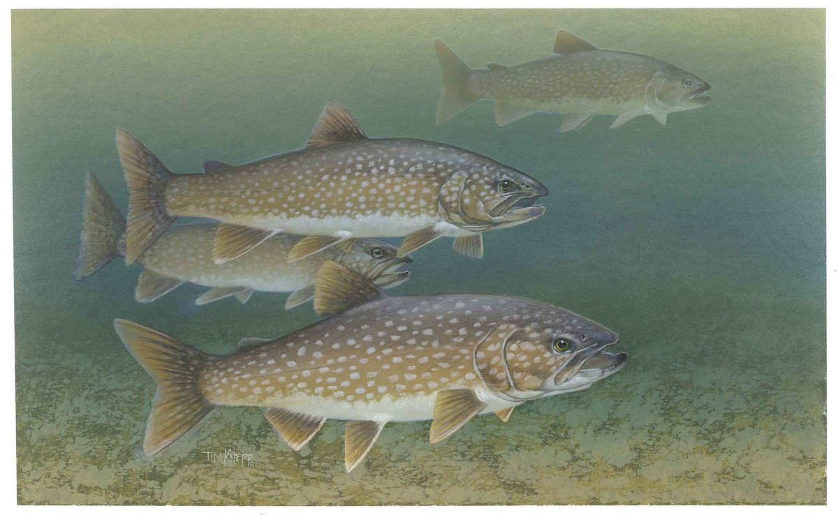


Two rivers through tundra country
Andreafsky Wilderness protects about 1.3 million acres within Yukon Delta National Wildlife Refuge in southwestern Alaska. Designated in 1980, it spans wetland and alpine tundra, with elevations rising from about 50 feet to nearly 2,800 feet in its northeastern reaches. The Andreafsky River and its East Fork flow southwest on roughly parallel courses before draining into the Yukon River outside the wilderness boundary. Large portions of both rivers have National Wild and Scenic River designation. These waterways are the main focus for river-running and angling trips, but they sit within a much larger landscape. White spruce and balsam poplar line riverbanks, while the headwaters reach alpine tundra. Planning should begin with a particular river corridor rather than treating the entire wilderness as a single, interchangeable destination.
Choosing a river and preparing for the conditions
The Andreafsky River and East Fork offer two distinct corridors for a river-focused trip. The East Fork runs closer to the mountains and has more trees, making that landscape difference a useful starting point when choosing between them. Neither a mileage-based itinerary nor a difficulty rating should substitute for checking actual access and river conditions with the refuge. Summer temperatures average from the upper 40s to the low 60s Fahrenheit, so pack insulating layers and rain protection rather than relying on warm weather. Winter averages of 0 to 15 degrees Fahrenheit call for a very different level of preparation. Settle entry and exit arrangements before committing to either river, and confirm which transport methods and visitor requirements apply with the U.S. Fish & Wildlife Service.
Salmon, bears and a working fishery
Salmon are central to the Andreafsky landscape, supporting both wildlife and fisheries important to subsistence users. Black and brown bears occur in large populations, so fishing and riverside camping require careful food storage, room for wildlife to pass, and a willingness to move away from feeding animals. Moose, caribou, wolves, wolverines, foxes, beavers, martens and minks also inhabit the wilderness. On the East Fork, the U.S. Fish & Wildlife Service operates a salmon-monitoring weir 43 kilometers upstream of the Yukon–Andreafsky confluence, near St. Mary’s. Its work helps assess lower Yukon Chinook and summer chum salmon runs and informs fisheries management. Treat this as working research infrastructure, not an assumed visitor facility or river access point. Anglers should check current fishing requirements before building a trip around salmon.
Route options
- Andreafsky River corridor
A river-running and angling option following the southwest-flowing Andreafsky toward the Yukon. Large portions have National Wild and Scenic River designation. Choose trip endpoints and confirm conditions with the refuge rather than assuming an established itinerary.
- East Fork Andreafsky River corridor
The more wooded, mountain-adjacent alternative, flowing southwest roughly parallel to the Andreafsky River. Large portions have National Wild and Scenic River designation. Confirm trip endpoints and how to avoid interfering with the fish-monitoring weir during route planning.
Sample itineraries
- Andreafsky River paddling day · 1 day
A suggested day within a separately arranged river trip, not a full-river itinerary. Paddle a section suited to the group's skills, observing white spruce and balsam poplar along the banks. Confirm access, river conditions and transport arrangements with the managing agency before choosing a section.
- East Fork river and wildlife day · 1 day
A suggested day within an independently planned East Fork trip. Focus on the more wooded river corridor closer to the mountains, with time for wildlife observation from a safe distance. Access and travel time require separate planning; this is not a confirmed one-day route from a settlement.
Seasonal conditions
Spring
Spring transition
Confirm current river and ground conditions before committing to travel. Alpine and wetland tundra call for waterproof footwear and flexible plans; do not assume summer paddling conditions.
Summer
Summer
Average temperatures range from the upper 40s to low 60s Fahrenheit. Pack insulation and rain protection despite the season. Salmon and substantial black and brown bear populations make careful food storage and riverbank awareness important.
Fall
Fall transition
Prepare for colder conditions as winter approaches. Keep insulation dry and confirm river travel conditions before departure. No fixed seasonal access window should be assumed.
Winter
Winter
Average temperatures range from 0 to 15 degrees Fahrenheit, well below freezing. Travel requires cold-weather equipment and experience. Confirm local conditions rather than assuming rivers offer safe winter travel.
| Season | Window | Conditions |
|---|---|---|
| Spring | Spring transition | Confirm current river and ground conditions before committing to travel. Alpine and wetland tundra call for waterproof footwear and flexible plans; do not assume summer paddling conditions. |
| Summer | Summer | Average temperatures range from the upper 40s to low 60s Fahrenheit. Pack insulation and rain protection despite the season. Salmon and substantial black and brown bear populations make careful food storage and riverbank awareness important. |
| Fall | Fall transition | Prepare for colder conditions as winter approaches. Keep insulation dry and confirm river travel conditions before departure. No fixed seasonal access window should be assumed. |
| Winter | Winter | Average temperatures range from 0 to 15 degrees Fahrenheit, well below freezing. Travel requires cold-weather equipment and experience. Confirm local conditions rather than assuming rivers offer safe winter travel. |
Permits, fees & closures
Confirm current permit requirements and activity-specific rules with the U.S. Fish & Wildlife Service at Yukon Delta National Wildlife Refuge.
Official source: East Fork Andreafsky River Weir | U.S. Fish & Wildlife Service · Verified October 19, 2026
Hazards & regulations
- Large populations of black and brown bears share the salmon rivers. Keep food secured, give bears space and avoid approaching feeding animals.
- Cool summer temperatures and wet conditions can chill paddlers quickly. Carry waterproof layers and dry spare clothing.
- Wetland tundra can make footing wet and difficult. Choose ground carefully and protect feet from prolonged moisture.
- Winter temperatures average well below freezing. Inadequate insulation or wet equipment can become dangerous.
What to pack for Andreafsky Wilderness
- Waterproof jacket and pants
- Insulating layers
- Dry spare clothing in waterproof bags
- Footwear suited to wet tundra
- Properly fitted personal flotation device
- River craft appropriate to confirmed conditions
- Waterproof gear storage
- Navigation maps showing wilderness boundaries
- Bear-resistant food storage
- Binoculars for distant wildlife observation
- First-aid kit
- Water treatment equipment
Andreafsky Wilderness FAQ
- Where is Andreafsky Wilderness?
- It covers about 1.3 million acres within Yukon Delta National Wildlife Refuge in southwestern Alaska. The Andreafsky River and its East Fork flow southwest through it, reaching the Yukon River outside the wilderness boundaries.
- How do the two river corridors differ?
- The rivers follow roughly parallel paths. The East Fork runs closer to the mountains and has more trees. Large portions of both rivers have National Wild and Scenic River designation.
- What terrain should visitors expect?
- Expect alpine and wetland tundra, riverbank forests of white spruce and balsam poplar, and relatively flat, treeless delta terrain. Elevations range from about 50 feet to nearly 2,800 feet in the northeastern wilderness.
- Can the mapped wilderness point be used as an access point?
- No. The inventory map point lies inside the wilderness but is not a trailhead, campsite or access point. Arrange access separately and confirm transport rules with the managing agency.
- What is the East Fork Andreafsky River weir?
- It is a fisheries monitoring installation 43 kilometers upstream of the Yukon–Andreafsky confluence, near St. Mary’s. Its operating season runs from mid-June until early August. Biologists use it to assess Chinook and summer chum salmon runs; do not treat it as a visitor facility or access point.
- Can visitors plan a fishing trip?
- The rivers attract anglers and support abundant salmon. Confirm current fishing rules with the responsible agencies before planning to fish. Salmon abundance does not establish whether harvest is allowed, and feeding bears require plenty of space.