



Where on earth
Satellite imagery flying in from a world view to Overland Track (Tasmania), Australia. Use the + / − buttons, or click the map to zoom with your scroll wheel; drag to pan and pinch to zoom on touch.
- Region
- Australia
- Biome
- Tasmanian alpine (700–1,600 m)
- Best season
- October – May
- Difficulty
- moderate
- Backpacking
- Hiking
- Climbing
- Mountaineering
- Winter Camping
- Skiing
- Canoeing
- Fishing
Key takeaways
- Biome: Tasmanian alpine (700–1,600 m)
- Best season: October – May
- Difficulty: moderate
- Top activity: backpacking
Photos of Overland Track (Tasmania)
Topic summary
A 65-km 6-day trek through Cradle Mountain-Lake St Clair National Park.
Key takeaways
- Difficulty: moderate
- Best season: October – May
Intended uses
backpacking
Climate suitability
Tasmanian alpine (700–1,600 m)
Tools for a trip here
Picked for how, when and where you're going. Free, no signup.
- Sleep System Temp CalculatorCold nights: check your bag and pad add up to a safe sleep.
- Base Weight CalculatorEvery ounce is carried — total your kit and find your base weight.
- Pack Volume SizerSize the pack for your trip length and season.
- Water Purification MatrixTreat water from streams and lakes on trail.
- Layering CalculatorCold-season miles: layer for climbs and camp.
Plan with verified data
Overland Track (Tasmania) trip tools
How to get there
Start at the Cradle Mountain Visitor Centre and take the shuttle to Ronny Creek. The shuttle operates seven days a week, with seasonal times subject to change. A valid Parks Pass and shuttle ticket are required; the shuttle service is included in the Overland Track booking fee. Organise the ticket at the visitor centre and sign in at the Walker Registration booth at Ronny Creek. Plan onward transport around arrival at the Lake St Clair Visitor Centre, reached by booked ferry from Narcissus Hut or by the additional lakeside walk.
- Cradle Mountain Visitor Centre
Northern transport hub for the walk. Arrange the shuttle ticket here and board the bus to the departure point at Ronny Creek.
- Ronny Creek
Departure point reached by the Cradle Mountain shuttle. Sign in at the Walker Registration booth before starting.
- Narcissus Hut
Usual walking finish and departure point for the ferry to the Lake St Clair Visitor Centre. Ferry bookings are required.
- Lake St Clair Visitor Centre
Southern arrival point, reached by ferry from Narcissus Hut or by walking the additional 17.5 kilometres along the lake.
Sources: parks.tas.gov.au · Wikipedia · Wikivoyage. Confirm road and trailhead conditions with the managing agency before you leave.
Popular pursuits at Overland Track (Tasmania)
- Backpacking
Multi-day travel with everything on your back — see the packing blocks below.
- Hiking
Day miles on marked trail, with route notes and trail links below.
- Climbing
Rock and alpine lines with approach beta.
- Mountaineering
Glacier and high-route objectives with real consequence.
- Winter Camping
Cold-season travel and camp craft; layering matters more than mileage.
- Skiing
Ski-touring access when the road closes for the season.
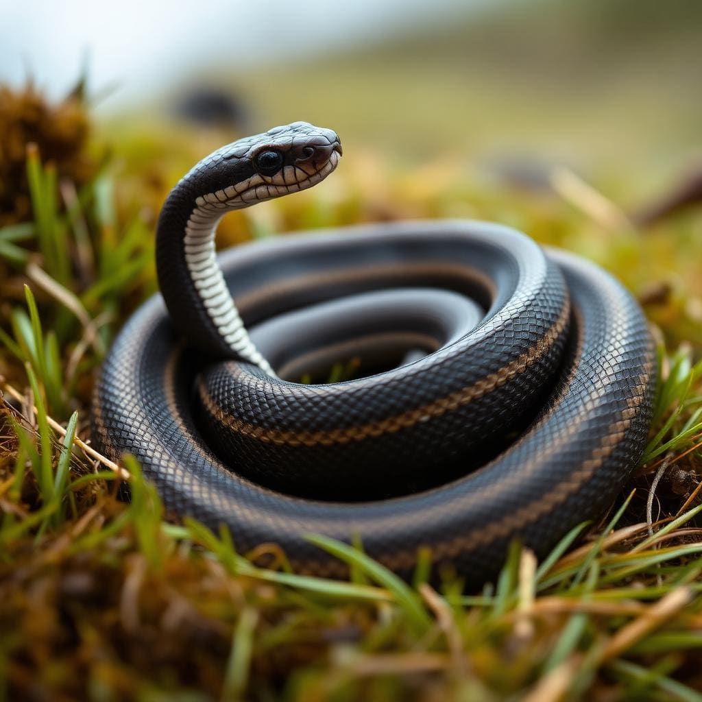
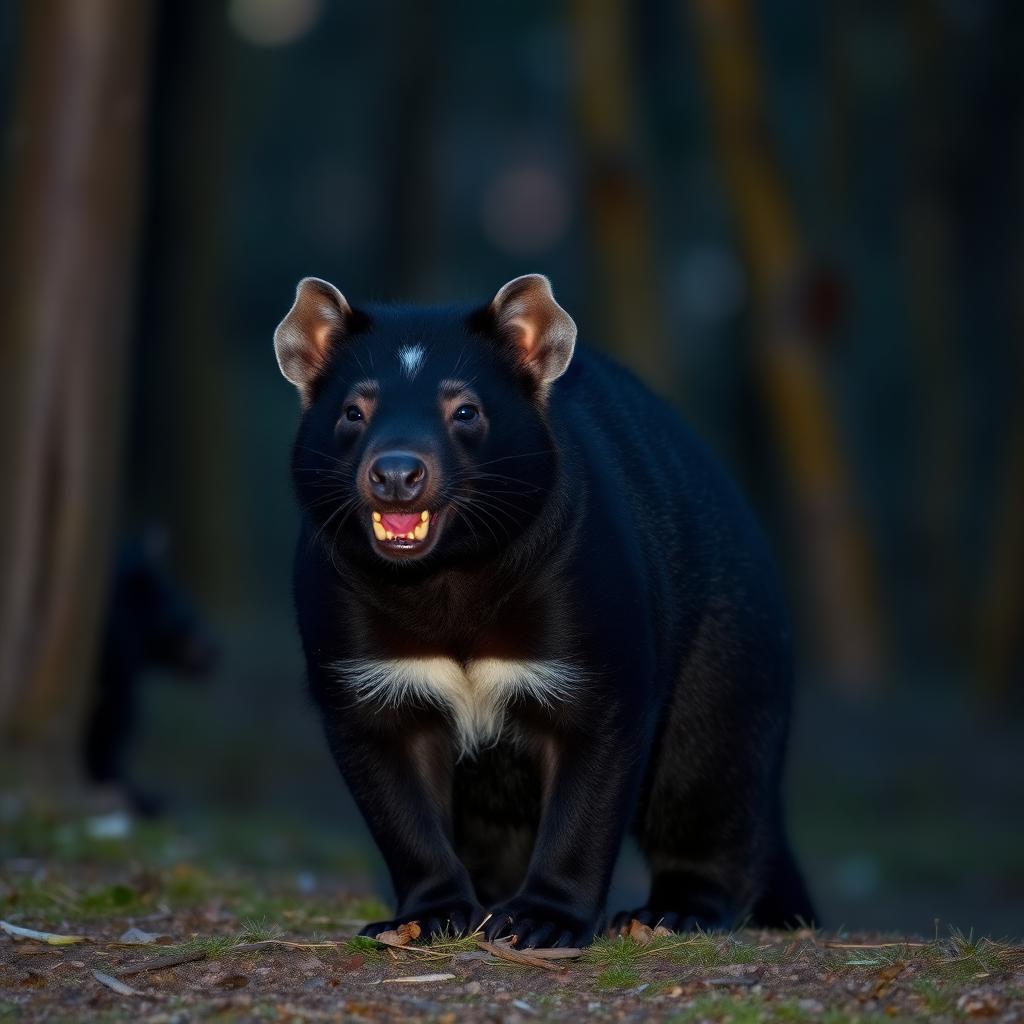
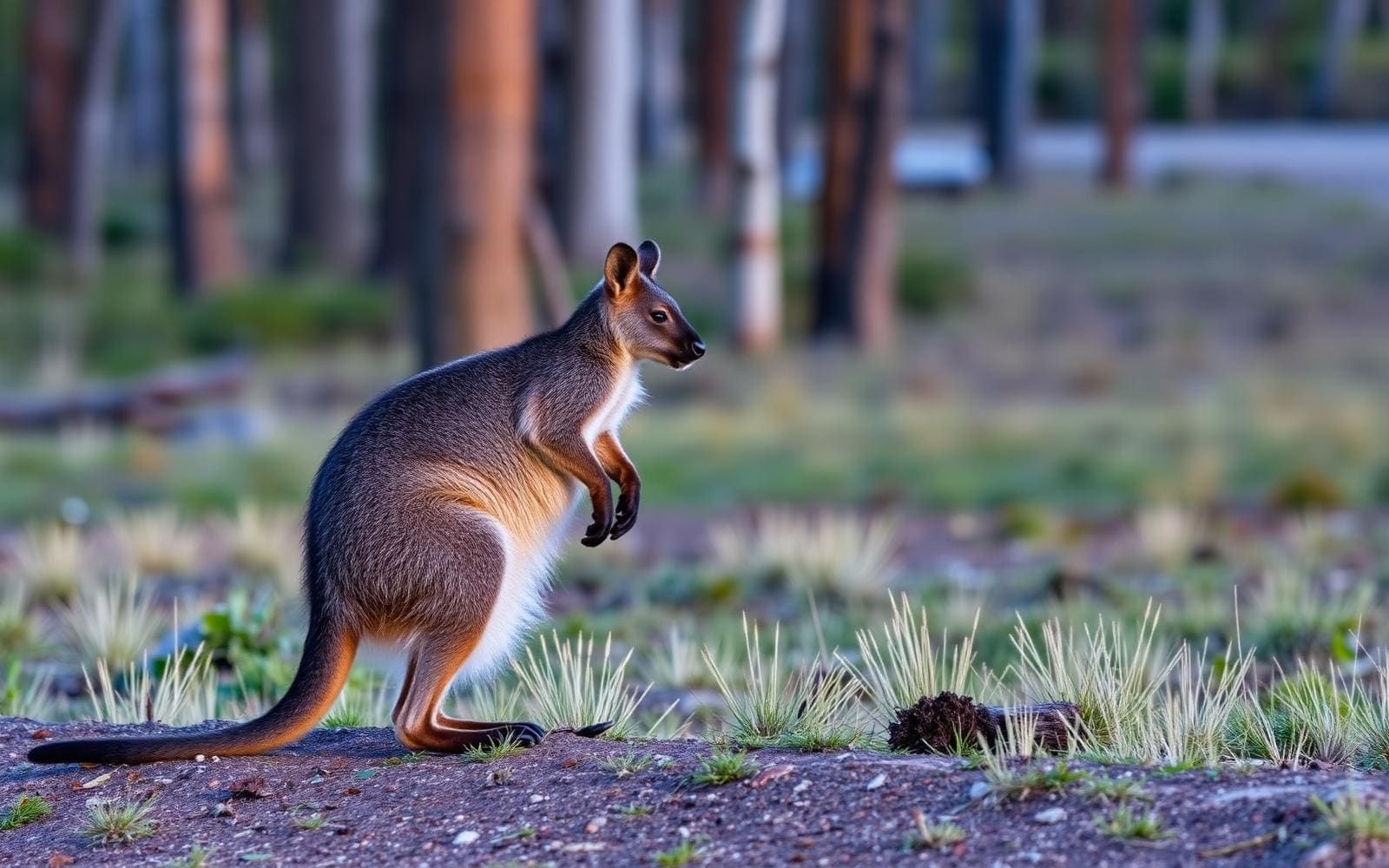
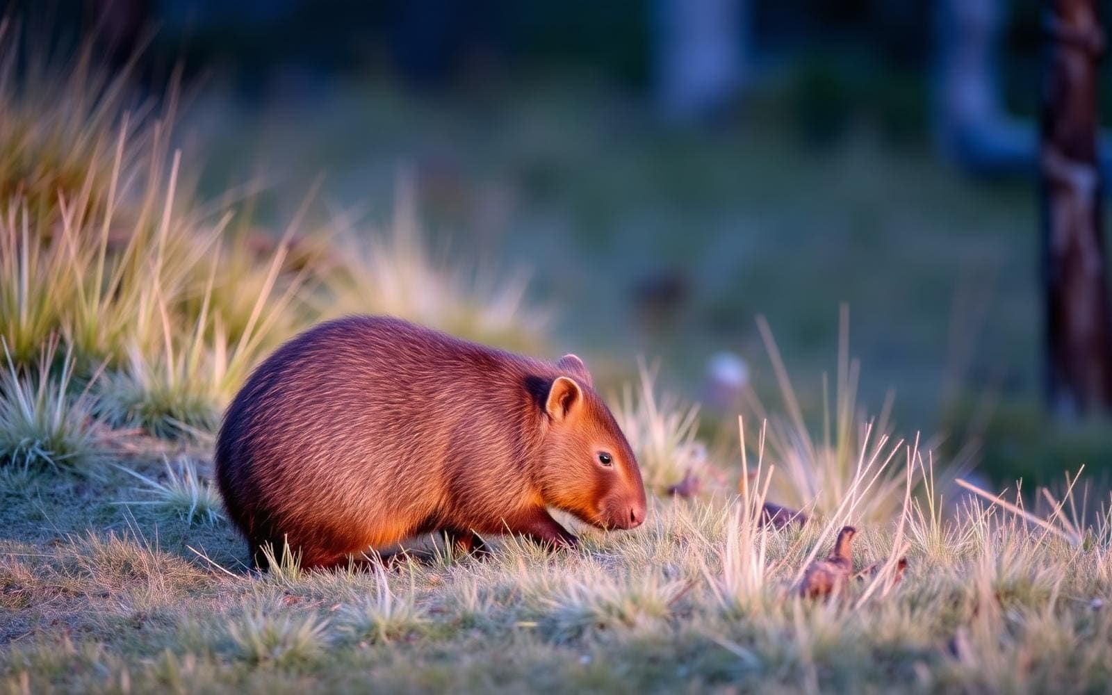
Animals around Overland Track (Tasmania)
Maps, GPS & compass for this trip
Carry a waterproof paper map and a compass you can steer by, and treat the GPS as the backup — not the other way round. Buying links go to Amazon; Wild10 earns a commission at no cost to you.
Waterproof topo maps
- Waterproof topographic map — Overland Track (Tasmania)Amazon search for waterproof, tear-resistant topo maps covering this area.
- National Geographic Trails IllustratedThe waterproof Trails Illustrated series — check for a sheet covering this area.
- Waterproof map case & compass lanyardKeep a paper map readable in rain, spray and a swamped boat.
Fishing at Overland Track (Tasmania)
Planning to fish Overland Track (Tasmania), Australia? Fishing licences, open seasons and catch limits in Australia are set by the local wildlife authority and change every year — check the official source before you cast a line.
Do I need a fishing licence at Overland Track (Tasmania)?
- A Australia fishing licence is normally required for anyone over the local youth age.
- Read the current Australia fishing regulations for special waters, barbless-hook or catch-and-release rules.
- Clean, drain and dry boats and gear between waters to stop invasive species.
Hunting near Overland Track (Tasmania)
Thinking about hunting Overland Track (Tasmania), Australia? Hunting seasons, tags and draws in Australia are set by the wildlife authority each year. Confirm the rules for your species and unit before you go.
Is hunting allowed at Overland Track (Tasmania)?
- Confirm the land around Overland Track (Tasmania) is open to hunting and which management unit it falls in.
What do I need to hunt in Australia?
- A Australia hunting licence — most jurisdictions also require hunter education certification.
- Species tags or draw results for big game such as deer, elk, moose or bear where they occur.
- Knowledge of firearm and bow transport rules, which differ by land type and border crossing.
An alpine crossing through Tasmania’s high country
The Overland Track crosses the heart of Cradle Mountain–Lake St Clair National Park, within the Tasmanian Wilderness World Heritage Area. The main walk is 65 kilometres one way and usually takes six days, with most walkers travelling north to south. Its variety comes from moving between glacial valleys, ancient rainforest, eucalypt forest, buttongrass plains and alpine meadows rather than staying in one kind of terrain. Almost half the track lies above 1,000 metres on exposed plateaus, so the mountain setting has practical consequences for both pace and preparation. The usual finish is Narcissus Hut, where most walkers take a booked ferry to the Lake St Clair Visitor Centre. Walking along the lake instead adds another day. Rest days and side trips can lengthen the journey, particularly for walkers interested in waterfalls, mountain summits or the tarns of The Labyrinth.
Difficulty, exposure and self-sufficiency
This is a Grade 4 walk for fit, well-prepared walkers with remote alpine experience. Tracks may be long, rough and very steep, and directional signs may be limited. Cold, wet and windy weather can develop quickly in any season, including summer; deaths have occurred when walkers were inadequately prepared. Pack waterproof protection, warm layers and equipment suited to sustained bad weather, not just the forecast at departure. Once walking, the next road and commercial centre are at the far end of the journey, so carry food and equipment for the entire trip. Public huts and camping are part of the track’s infrastructure, but they do not remove the need for self-sufficiency between stops. Cooking is fuel-stove only. Obtain the Cradle Mountain–Lake St Clair map and notes before departure, and allow enough flexibility to avoid making a summit side trip the deciding factor in an already demanding day. The walk is not recommended for children under eight.
Bookings, fees and the finish
Plan the walk booking and the journey out together. The summer booking season runs from 1 October to 31 May inclusive. Overland Track Pass fees for that period are $312 for adults, $272 for children aged 17 and under, and $272 for concession holders. The fee includes park entry for the duration of the walk and the Cradle Mountain shuttle service. Fees are reviewed annually, so confirm the current amount before booking. Between June and September, a valid park pass is required; confirm winter registration arrangements with Tasmania Parks and Wildlife Service. At the northern end, take the shuttle from the Cradle Mountain Visitor Centre to Ronny Creek and sign in at the Walker Registration booth. At the southern end, the ferry from Narcissus Hut requires a separate booking. The alternative is a 17.5-kilometre walk along Lake St Clair to its visitor centre, adding an extra day to the trip.
Route options
- Overland Track main crossing65 km one wayGrade 4; bushwalking and remote alpine experience recommended
The standard six-day journey through glacial valleys, forests and exposed alpine country, departing at Ronny Creek and usually finishing at Narcissus Hut. Most walkers then take the booked ferry to the Lake St Clair Visitor Centre.
- Lake St Clair lakeside extension17.5 km
Continue on foot from Narcissus Hut to the Lake St Clair Visitor Centre rather than taking the ferry. Allow an additional day.
- Mount Ossa side trip
An optional summit side trip to Tasmania’s highest peak at 1,617 metres. Build extra time into the itinerary and weigh conditions before committing to the ascent.
- Cradle Mountain summit side trip
An optional summit walk off the Overland Track. Treat it as an addition to the crossing rather than an essential part of a fixed daily schedule.
- The Labyrinth side trip
A side-track option leading to a group of mountain tarns. Allow additional time beyond the main crossing.
Sample itineraries
- Six-day Overland Track with ferry finish · 6 days
Start at Ronny Creek and follow the 65 km Overland Track through Cradle Mountain–Lake St Clair National Park to Narcissus Hut. Cross glacial valleys, rainforest, buttongrass plains and exposed alpine country. Finish with the ferry to Lake St Clair Visitor Centre; book the ferry ahead.
- Seven-day walk with Lake St Clair extension · 7 days
Complete the main track over six days, then continue on foot from Narcissus Hut along Lake St Clair. The 17.5 km lakeside extension adds a day and finishes at Lake St Clair Visitor Centre rather than taking the ferry. Carry food and equipment for the full journey.
Seasonal conditions
Spring
Spring; booking arrangements change in October
Treat this as remote alpine walking, not a mild-weather outing. Severe cold, rain and wind can occur at any time. Almost half the track lies above 1000 metres on exposed plateaus. Check current conditions and the applicable booking arrangements before departure.
Summer
Summer, within the October–May booking season
Summer does not remove the risk of severe cold, wet and windy weather. Conditions can change quickly, and unprepared walkers have died even in summer. Carry protective clothing and overnight equipment rather than relying on a favourable forecast.
Fall
Autumn, within the October–May booking season
Prepare for rapidly changing alpine weather throughout the walk. Exposed plateaus offer little protection from cold, rain and wind. Keep side trips flexible and carry enough food for any planned extra days.
Winter
Published winter registration period: 1 June–23 September
The remote setting and exposed high country require experienced, well-prepared walkers. Severe cold, wet and windy conditions are serious concerns. Confirm current winter arrangements and conditions with Tasmania Parks & Wildlife Service before committing.
| Season | Window | Conditions |
|---|---|---|
| Spring | Spring; booking arrangements change in October | Treat this as remote alpine walking, not a mild-weather outing. Severe cold, rain and wind can occur at any time. Almost half the track lies above 1000 metres on exposed plateaus. Check current conditions and the applicable booking arrangements before departure. |
| Summer | Summer, within the October–May booking season | Summer does not remove the risk of severe cold, wet and windy weather. Conditions can change quickly, and unprepared walkers have died even in summer. Carry protective clothing and overnight equipment rather than relying on a favourable forecast. |
| Fall | Autumn, within the October–May booking season | Prepare for rapidly changing alpine weather throughout the walk. Exposed plateaus offer little protection from cold, rain and wind. Keep side trips flexible and carry enough food for any planned extra days. |
| Winter | Published winter registration period: 1 June–23 September | The remote setting and exposed high country require experienced, well-prepared walkers. Severe cold, wet and windy conditions are serious concerns. Confirm current winter arrangements and conditions with Tasmania Parks & Wildlife Service before committing. |
Permits, fees & closures
Overland Track Pass fees apply from 1 October to 31 May inclusive and include park entry for the walk. A valid park pass is required between June and September. Sign in at the Walker Registration booth at Ronny Creek.
Fees: Overland Track Pass: adults $312; children aged 17 and under $272; concession $272. Fees are reviewed annually. The Overland Track booking fee includes the Cradle Mountain shuttle bus service.
Reservations: The summer booking season runs from 1 October to 31 May inclusive. Winter 2026 registration covers 1 June–23 September inclusive. Confirm arrangements for dates outside those published periods. The ferry from Narcissus Hut to Lake St Clair Visitor Centre requires a separate booking.
Official source: Overland Track | Parks & Wildlife Service Tasmania · Verified September 20, 2026
Hazards & regulations
- Rapid weather changes can bring severe cold, rain and wind in any season, including summer. Deaths have occurred when walkers were inadequately prepared.
- Almost half the track is above 1000 metres on exposed plateaus, increasing exposure to harsh alpine weather.
- Grade 4 terrain can be long, rough and very steep. Bushwalking experience and suitable fitness are needed.
- Directional signage may be limited. Carry a map and know how to navigate.
- There is no intervening road or commercial centre during the main six-day journey. Carry all food and equipment rather than expecting resupply.
What to pack for Overland Track (Tasmania)
- Waterproof jacket and overtrousers
- Warm insulating layers
- Warm hat and gloves
- Waterproof protection for spare clothing and sleeping gear
- Shelter suitable for remote alpine conditions
- Sleeping bag suitable for severe cold
- Sleeping mat
- Headlamp
- Food for the entire itinerary, including planned extra days
- Fuel stove and sufficient fuel; fuel stoves only
- Water containers
- Water treatment equipment
- Cradle Mountain–Lake St Clair map and notes, 1:100 000 TASMAP
- Compass and navigation skills
- First-aid kit
- Sturdy footwear for rough, steep terrain
Overland Track (Tasmania) FAQ
- Where does the walk start, and how is it accessed?
- The departure point is Ronny Creek. Take the shuttle from Cradle Mountain Visitor Centre and sign in at the Walker Registration booth before walking. Shuttle times vary seasonally; organise the required shuttle ticket at the visitor centre.
- How long is the Overland Track?
- The main walk is 65 km one way and usually takes six days. It normally finishes at Narcissus Hut. Walking the additional 17.5 km beside Lake St Clair to the visitor centre adds another day.
- Is it suitable for beginners or young children?
- This is a serious Grade 4 walk for fit walkers with remote alpine experience. Terrain may be rough and very steep, with limited directional signage. It is not recommended for children under eight.
- Are there huts and campsites?
- Huts and camping are available. Six main public huts are maintained by Tasmania Parks & Wildlife Service; private huts serve commercial groups. Carry your own equipment and food for the whole walk, including suitable overnight shelter.
- Which side trips can be added?
- Side trips include Cradle Mountain, Mount Ossa, The Labyrinth and waterfalls. Mount Ossa reaches 1617 metres and is Tasmania’s highest peak. Add time and food for optional excursions, and let weather, fitness and conditions determine whether to attempt them.
- What landscapes does the track cross?
- The route crosses glacial valleys, ancient rainforest, eucalypt forest, buttongrass plains and alpine meadows within Cradle Mountain–Lake St Clair National Park. The park forms part of the Tasmanian Wilderness World Heritage Area.