



Where on earth
Satellite imagery flying in from a world view to Thorsborne Trail (Hinchinbrook), Australia. Use the + / − buttons, or click the map to zoom with your scroll wheel; drag to pan and pinch to zoom on touch.
- Region
- Australia
- Biome
- Coastal rainforest (0–500 m)
- Best season
- May – September
- Difficulty
- moderate
- Backpacking
- Hiking
- Sea Kayaking
- Beachcombing
- Wildlife Viewing
Key takeaways
- Biome: Coastal rainforest (0–500 m)
- Best season: May – September
- Difficulty: moderate
- Top activity: backpacking
Photos of Thorsborne Trail (Hinchinbrook)
Topic summary
A 32-km 4-day trek along Queensland's Hinchinbrook Island — tropical wilderness.
Key takeaways
- Difficulty: moderate
- Best season: May – September
Intended uses
backpacking
Climate suitability
Coastal rainforest (0–500 m)
Tools for a trip here
Picked for how, when and where you're going. Free, no signup.
- Sleep System Temp CalculatorCold nights: check your bag and pad add up to a safe sleep.
- Base Weight CalculatorEvery ounce is carried — total your kit and find your base weight.
- Pack Volume SizerSize the pack for your trip length and season.
- Water Purification MatrixTreat water from streams and lakes on trail.
- Layering CalculatorCold-season miles: layer for climbs and camp.
Plan with verified data
Thorsborne Trail (Hinchinbrook) trip tools
How to get there
Reach the island by private ferry: services run from Cardwell to Ramsay Bay and from Lucinda to George Point. Schedules depend on tides. Arrange the arrival and departure transfers with the operators alongside the camping booking.
- Ramsay Bay
The starting point of the described trail traverse, reached by private ferry from Cardwell. Ferry schedules vary with tides.
- George Point
The finishing point of the described traverse, served by private ferry to and from Lucinda. Coordinate collection with the operator's tide-dependent schedule.
Sources: parks.qld.gov.au · Wikipedia · Wikivoyage. Confirm road and trailhead conditions with the managing agency before you leave.
Popular pursuits at Thorsborne Trail (Hinchinbrook)
- Backpacking
Multi-day travel with everything on your back — see the packing blocks below.
- Hiking
Day miles on marked trail, with route notes and trail links below.
- Sea Kayaking
Coastal crossings, tides, and protected camps.
- Beachcombing
Tide-line walking between camps.
- Wildlife Viewing
Best light, best season, and where animals move.
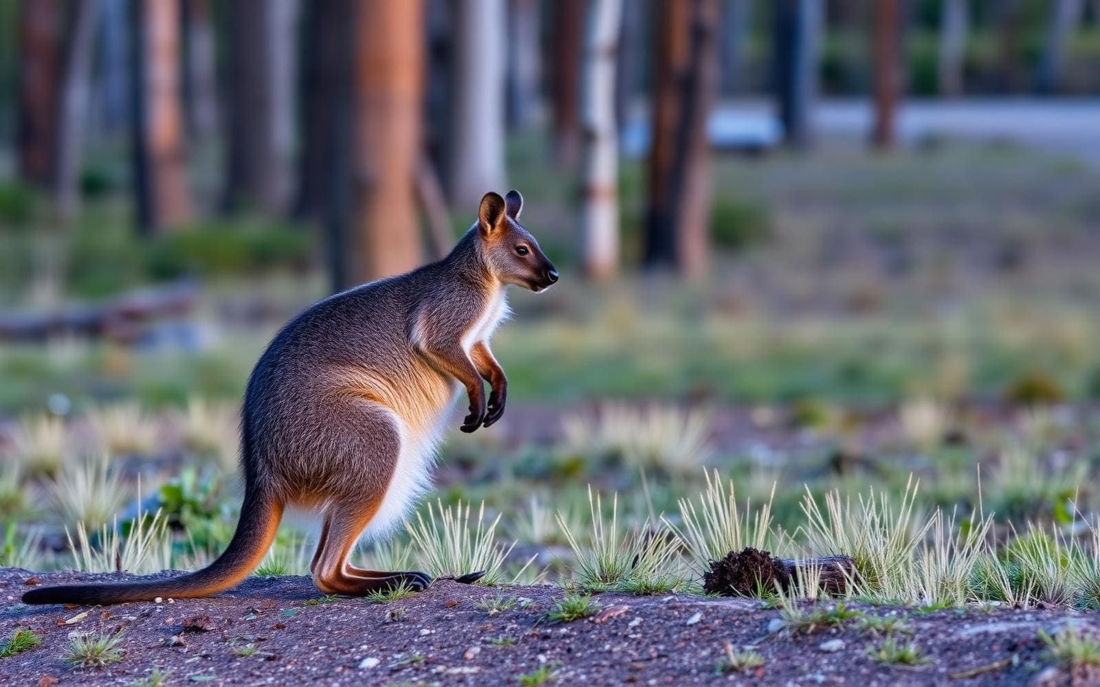
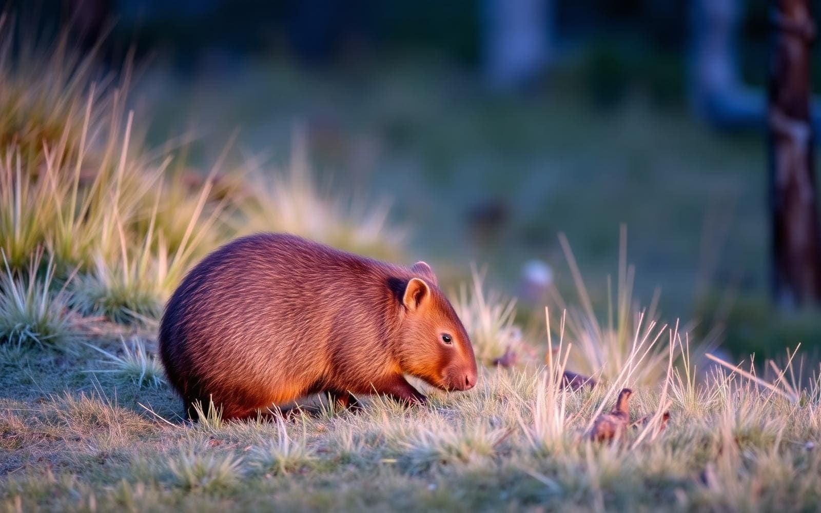
Animals around Thorsborne Trail (Hinchinbrook)


Maps, GPS & compass for this trip
Carry a waterproof paper map and a compass you can steer by, and treat the GPS as the backup — not the other way round. Buying links go to Amazon; Wild10 earns a commission at no cost to you.
Waterproof topo maps
- Waterproof topographic map — Thorsborne Trail (Hinchinbrook)Amazon search for waterproof, tear-resistant topo maps covering this area.
- National Geographic Trails IllustratedThe waterproof Trails Illustrated series — check for a sheet covering this area.
- Waterproof map case & compass lanyardKeep a paper map readable in rain, spray and a swamped boat.
Fishing at Thorsborne Trail (Hinchinbrook)
Planning to fish Thorsborne Trail (Hinchinbrook), Australia? Fishing licences, open seasons and catch limits in Australia are set by the local wildlife authority and change every year — check the official source before you cast a line.
Do I need a fishing licence at Thorsborne Trail (Hinchinbrook)?
- A Australia fishing licence is normally required for anyone over the local youth age.
- Read the current Australia fishing regulations for special waters, barbless-hook or catch-and-release rules.
- Clean, drain and dry boats and gear between waters to stop invasive species.
Hunting near Thorsborne Trail (Hinchinbrook)
Thinking about hunting Thorsborne Trail (Hinchinbrook), Australia? Hunting seasons, tags and draws in Australia are set by the wildlife authority each year. Confirm the rules for your species and unit before you go.
Is hunting allowed at Thorsborne Trail (Hinchinbrook)?
- Confirm the land around Thorsborne Trail (Hinchinbrook) is open to hunting and which management unit it falls in.
What do I need to hunt in Australia?
- A Australia hunting licence — most jurisdictions also require hunter education certification.
- Species tags or draw results for big game such as deer, elk, moose or bear where they occur.
- Knowledge of firearm and bow transport rules, which differ by land type and border crossing.
An island coast walk on rough ground
The Thorsborne Trail follows the east coast of Hinchinbrook Island National Park in Queensland, Australia. The 32-kilometre route runs from Ramsay Bay to George Point, with access by private ferry rather than a road to the trailhead. Hinchinbrook sits within the Wet Tropics of Queensland, and wet conditions are an important part of planning here: summer rain can make creek crossings more difficult. The track is ungraded and rough in places, so its distance alone is not a reliable guide to the effort involved. Approach it as a self-sufficient, multi-day bushwalk, carrying camping equipment and allowing time for uneven footing. Little Ramsay Bay and Zoe Bay are named locations along the trail, but the main planning framework is the full coastal traverse between the two ferry access points.
Hiking season and camping bookings
The hiking season runs from 1 March to 31 December. The standard annual closure extends from the start of January to the end of February because of increased risks from unsafe conditions. Independent hikers book a Thorsborne Trail Pass through the Queensland National Parks Booking Service, selecting a start date, party size and a stay of two to five nights. Queensland Parks and Wildlife Service is trialling a limit of 12 independent hikers starting each day; the maximum independent group size is six. Permits for the 2026 season have been released. The 2027 season release is scheduled for 15 December 2026 at 10am Queensland time. Peak periods and school holidays often book out, so prepare alternative dates. There is no waitlist; cancelled permits return immediately to the live booking system.
Coordinate boats, walking time and conditions
Boat arrangements are central to this walk. Private ferry services connect Cardwell with Ramsay Bay and Lucinda with George Point, and their schedules vary with the tides. Coordinate both ends of the trip with the ferry operators before settling the walking itinerary; do not assume a fixed departure or collection time. On the trail, rough ground and creek conditions can slow progress, particularly after wet weather. Pack to keep essential equipment dry and carry what is needed for a self-sufficient camping trip. Choose the number of nights around the group's ability rather than treating the shortest available pass as a recommended pace. Check current park alerts and ferry arrangements before departure, and leave room in the wider travel plan for changes to conditions or boat schedules.
Route options
- Ramsay Bay to George Point32 kilometresUngraded track, rough in places; wet weather can make creek crossings more difficult.
The full Thorsborne Trail traverse follows Hinchinbrook Island's east coast. Plan it as a self-sufficient multi-day walk with ferry transfers at either end.
- Little Ramsay Bay to Zoe Bay
A named section of the Thorsborne Trail to consider within the wider traverse, rather than as a separately established ferry-access outing.
Sample itineraries
- Four-day Thorsborne traverse · 4 days
A suggested four-day plan for the 32-kilometre trail from Ramsay Bay to George Point. Arrange private ferry access from Cardwell and departure to Lucinda, with schedules checked against tides. Book a three-night Trail Pass and plan daily stages around the rough, ungraded track.
- Six-day Thorsborne traverse · 6 days
Allow six days for a slower-paced walk along Hinchinbrook Island’s east coast, from Ramsay Bay to George Point. Book a five-night Trail Pass. Set daily stages before departure and coordinate both ferry transfers; extra time does not remove the need to assess creek crossings after rain.
Seasonal conditions
Spring
Within the March–December hiking season
Plan for a self-sufficient island walk on rough, ungraded terrain. Check current conditions and ferry schedules before departure. Camping availability can be limited during peak periods and school holidays.
Summer
December; January–February seasonal closure
Summer wet weather can make creek crossings more difficult. December falls within the hiking season, but the standard annual closure runs from the start of January through the end of February because of increased unsafe-condition risks.
Fall
Hiking season begins 1 March
The scheduled hiking season resumes after the annual closure. An open booking calendar is not an assurance of easy creek crossings or dry ground; check conditions before committing to the walk.
Winter
Within the March–December hiking season
The trail remains rough and ungraded regardless of season. Arrange camping and tide-dependent ferry transfers together, and carry everything needed for independent overnight hiking.
| Season | Window | Conditions |
|---|---|---|
| Spring | Within the March–December hiking season | Plan for a self-sufficient island walk on rough, ungraded terrain. Check current conditions and ferry schedules before departure. Camping availability can be limited during peak periods and school holidays. |
| Summer | December; January–February seasonal closure | Summer wet weather can make creek crossings more difficult. December falls within the hiking season, but the standard annual closure runs from the start of January through the end of February because of increased unsafe-condition risks. |
| Fall | Hiking season begins 1 March | The scheduled hiking season resumes after the annual closure. An open booking calendar is not an assurance of easy creek crossings or dry ground; check conditions before committing to the walk. |
| Winter | Within the March–December hiking season | The trail remains rough and ungraded regardless of season. Arrange camping and tide-dependent ferry transfers together, and carry everything needed for independent overnight hiking. |
Permits, fees & closures
Self-sufficient independent hikers need camping permits. QPWS is trialling 12 hikers starting each day; the maximum group size is six. Choose a start date, party size and a Thorsborne Trail Pass for two to five nights.
Reservations: Book at qld.gov.au/camping under ‘Great walks’. Permits for 1 March–31 December 2026 have been released. The equivalent 2027 season opens for booking on 15 December 2026 at 10am Queensland time. The 2028 release is to be announced.
Official source: Thorsborne Trail hiking seasons | Parks and forests · Verified September 20, 2026
Hazards & regulations
- The track is ungraded and rough in places. Set a pace that leaves time for careful footing rather than relying on distance alone.
- Summer rain can make creek crossings more difficult. Assess conditions before crossing and do not force an unsafe crossing.
- Ferry schedules vary with tides. Confirm access and pickup arrangements rather than assuming fixed departure times.
- Unsafe conditions are more likely during the January–February seasonal closure. Plan the trip within the permitted hiking season and check current park alerts.
What to pack for Thorsborne Trail (Hinchinbrook)
- Footwear suited to rough, ungraded ground
- Rain protection
- Waterproof liners for essential gear
- Sun protection
- Shelter and sleeping equipment
- Food for the planned trip
- Water-carrying capacity and treatment equipment
- Cooking equipment
- Trail navigation information
- First-aid kit
- Camping booking confirmation
- Confirmed ferry details and operator contact information
Thorsborne Trail (Hinchinbrook) FAQ
- Where is the trail, and how long is it?
- The Thorsborne Trail follows the east coast of Hinchinbrook Island National Park in Queensland, Australia. It runs 32 kilometres from Ramsay Bay to George Point, within the Wet Tropics of Queensland.
- How is the trail accessed?
- Private ferry services connect Cardwell with Ramsay Bay and Lucinda with George Point. Schedules depend on tides, so confirm transfers before finalising the walking plan.
- Is this an easy walking track?
- No. The track is ungraded and rough in parts, and wet weather can complicate creek crossings. Independent hikers need to be self-sufficient rather than expecting a consistently formed path.
- What if the preferred start date is booked out?
- Check the booking system regularly for cancellations. There is no waitlist; cancelled permits immediately become available to other customers. Use ‘View availability’ to check available starts.
- When is the booking secured?
- The booking is secured only after completing payment and clicking ‘finalise’. Familiarise yourself with the booking system before release day and have backup dates ready.
- What changes to refunds apply from 2027?
- Starting in 2027, permits must be cancelled at least 14 days before the start date to receive a refund. Check QPWS for further policy details, and cancel unused permits so others can book.