



- Region
- Indiana
- Country
- United States
- Best for
- canoeing, camping, fishing
- Best season
- Spring, Summer
- Permits
- A permit is always required. Overnight pad…
- Managed by
- U.S. Forest Service, Superior National Forest
Plan with verified data
Crooked Lake via Mudro Lake (Entry Point 23) trip tools
Tools for a trip here
Picked for how, when and where you're going. Free, no signup.
- Water Purification MatrixDrinking from the water you paddle — pick a treatment that fits.
- Layering CalculatorCold water: dress for immersion, not just the air temperature.
- Sleep System Temp CalculatorCold nights: check your bag and pad add up to a safe sleep.
- The 10 EssentialsBackcountry safety basics, printable.
- Packing ChecklistsPrintable packing list for this kind of trip.
How to get there
From Ely, drive east on Hwy 169 for 1.8 miles, then turn left on Hwy 88/Grant McMahan Blvd for 2.2 miles. Turn right onto Echo Trail for 8.0 miles, then right onto N. Grassy Road. Veer left immediately and go 4.3 miles, then turn left at a T intersection. Continue 1.1 miles to the Mudro Lake entry parking lot. From Mudro Lake, you can head north toward Fourtown Lake and then continue north to Crooked Lake.
- Mudro Lake Entry Point 23 parking lot
From Ely, drive east on Hwy 169, turn left on Hwy 88/Grant McMahan Blvd, then right onto Echo Trail. Just past Fenske Lake Campground and Lake Access, turn right onto N. Grassy Road, veer left, and continue to the T intersection. Turn left and proceed to the parking lot.
Sources: recreation.gov · Wikipedia · Wikivoyage · Ely Outfitting Company. Confirm road and trailhead conditions with the managing agency before you leave.
Indiana · United States · Season: Late spring through early fall
- Canoeing
- Kayaking
- Fishing
Overview
This route takes you into the heart of some magnificent BWCA scenery with relatively short portages, ultimately leading to the expansive Crooked Lake. The entry via Mudro Lake involves a few carries, but they're manageable. Once on Crooked Lake, you have access to some incredible pictographs and diverse shoreline. This is a longer route, often taking 5-7 days to fully appreciate, but the paddling on the smaller lakes leading to Crooked is peaceful. The reward is a vast, beautiful lake with numerous islands and bays, offering plenty of exploration and a good chance for solitude, especially away from the main thoroughfare. Nearest town is Ely. Prime season is late spring through early fall. Be mindful of fishing regulations, as Crooked Lake spans the US-Canada border. Strong winds can make Crooked Lake challenging, and the border area can see more use. This route feels truly remote once you're deep within Crooked Lake.
Planning notes
Where: Indiana, United States Best season: Late spring through early fall Good for: Canoeing, Camping, Fishing Featured on: Top 10 Flatwater Canoe Routes: Boundary Waters Multi-day (#3) Access point: Crooked Lake, IN 46703, USA
Check current permits, closures and fire restrictions with the managing agency before you commit to dates.
Where on earth
Satellite imagery flying in from a world view to Crooked Lake via Mudro Lake (Entry Point 23), United States. Use the + / − buttons, or click the map to zoom with your scroll wheel; drag to pan and pinch to zoom on touch.
Coordinates
- Decimal degrees
- 41.6798, -85.0366
- Latitude (DMS)
- 41° 40′ 47.2″ N
- Longitude (DMS)
- 85° 2′ 11.9″ W
Coordinates are an access-point reference for Crooked Lake via Mudro Lake (Entry Point 23), not a route. Carry a paper map and confirm trailhead or put-in access with the managing agency before you go.
Topic summary
This route takes you into the heart of some magnificent BWCA scenery with relatively short portages, ultimately leading to the expansive Crooked Lake.
Key takeaways
- Region: Indiana
- Country: United States
- Best season: Late spring through early fall
- Good for: canoeing, camping, fishing
- Coordinates: 41.680, -85.037
Intended uses
- canoeing
- camping
- fishing
Climate suitability
Late spring through early fall
Keep planning
Popular pursuits at Crooked Lake via Mudro Lake (Entry Point 23)
Animals around Crooked Lake via Mudro Lake (Entry Point 23)
 Wildlife guideBlack bearUrsus americanus
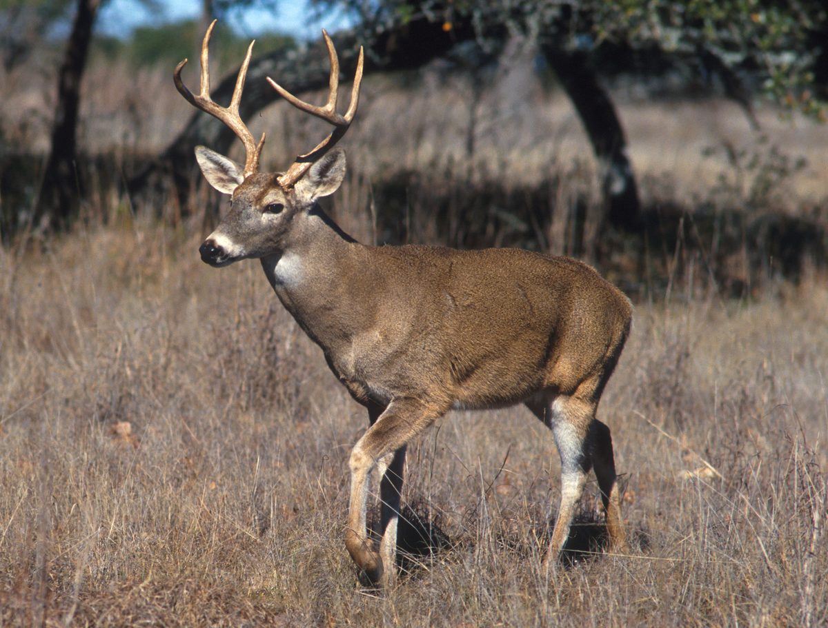 Big gameWhitetail DeerOdocoileus virginianus
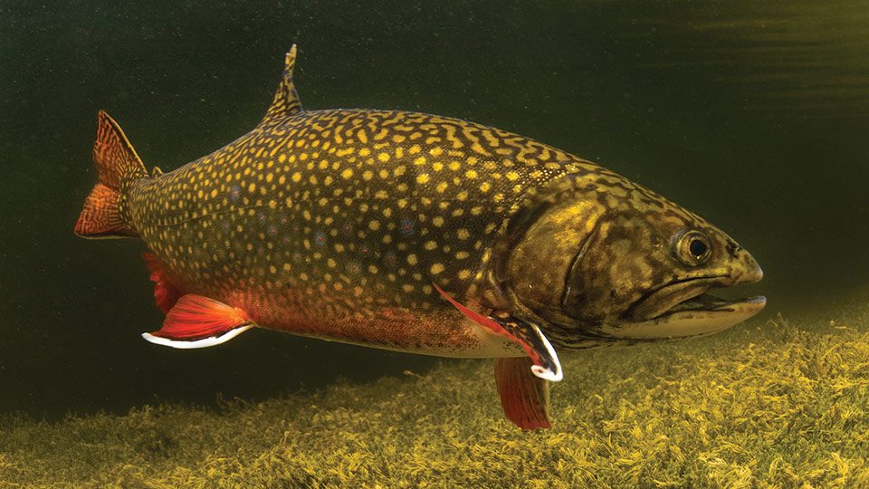 GamefishBrook TroutSalvelinus fontinalis
 Wildlife guideNorth American beaverCastor canadensis
 Big gameBlack BearUrsus americanus
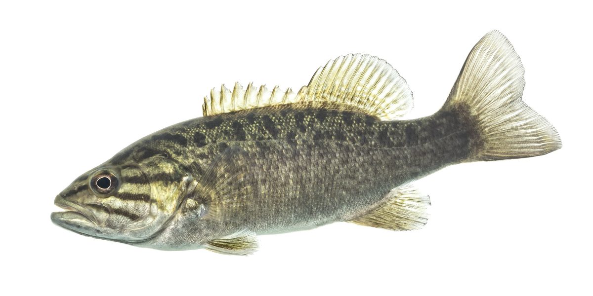 GamefishSmallmouth BassMicropterus dolomieu
 Wildlife guideSnowshoe hareLepus americanus
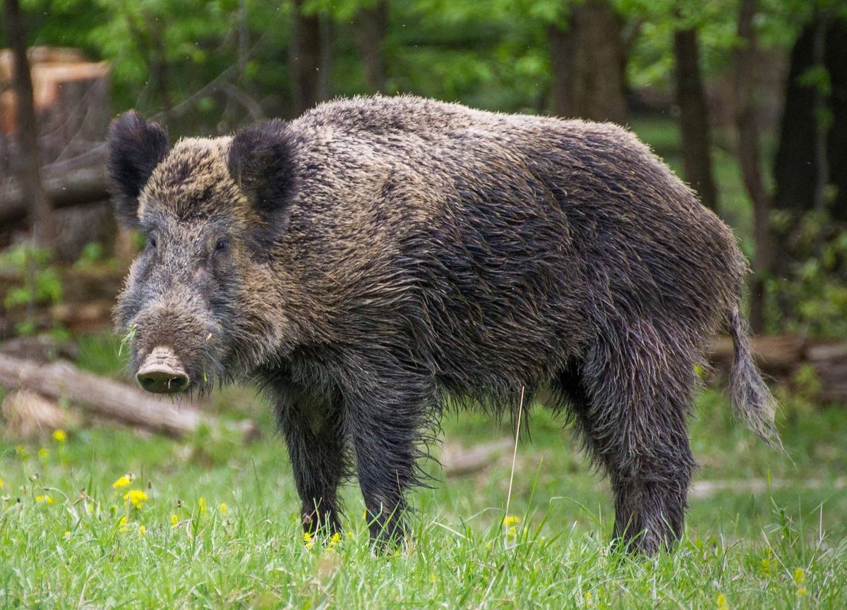 Big gameWild HogSus scrofa
Location and wilderness setting
The Boundary Waters Canoe Area Wilderness is in northeastern Minnesota, within the northern third of Superior National Forest—not Indiana. It covers more than 1,098,000 acres and extends nearly 150 miles along the international boundary with Canada. Across the wilderness, more than 1,200 miles of canoe routes connect a landscape traveled by paddling, portaging, and camping, with over 2,000 designated campsites. These are wilderness-wide figures, not measurements for the requested trip. Before making travel arrangements for Crooked Lake via Mudro Lake, confirm the entry-point identification and intended route with the Forest Service. A trip here calls for planning around travel on water and carrying equipment between lakes rather than assuming continuous paddling or roadside access to the destination.
Permits and group planning
A permit is always required to enter the Boundary Waters Canoe Area Wilderness. Overnight paddling trips entering from May 1 through September 30 require a quota permit through Recreation.gov. Reservations are recommended because permits are limited by entry point. When available, walk-in permits may be obtained at a permit issuing station on the entry date or one day beforehand. Reservations open on the last Wednesday of January at 9:00 a.m. Central Time. Nonmotorized day visitors need self-issued permits year-round; overnight visitors entering from October 1 through April 30 also use self-issued permits. These are available at wilderness entry-point kiosks and Forest Service offices. Each group needs one permit, and no more than nine people and four watercraft may be together anywhere in the wilderness, including campsites and portages.
Route preparation and responsible travel
Treat route selection as a separate task from securing a permit. Confirm the launch location, lake connections, portages, campsite choices, and expected travel time with the Forest Service before committing to an itinerary. No specific approach, mileage, or difficulty rating can be established here for the requested trip. Use the Forest Service’s BWCAW Trip Planning Guide and check current forest alerts before departure. Pack so that boats and equipment can be carried between lakes, and choose daily objectives that leave room for changing weather and slower travel. Smaller groups reduce resource impacts and can improve opportunities to see wildlife. The wilderness is managed to preserve its primitive character, so prepare for self-reliant paddling and camping rather than expecting developed recreation facilities along the route.
Sample itineraries
- One-day paddle planning option · 1 day
Plan a non-motorized Boundary Waters outing after confirming the entry point and a suitable turnaround with the Forest Service. Use a self-issued day-use permit. This is a planning option, not a verified route to the destination.
- Overnight canoe planning option · 2 days
Plan an overnight paddle with portages and designated camping only after checking route length, campsite options and entry-point availability. Two days is a planning framework, not a confirmed travel time to the destination. Obtain the permit appropriate to the entry date.
Seasonal conditions
Spring
Spring; permit rules change May 1
Confirm water conditions and route accessibility before committing to a paddle. Overnight trips require self-issued permits through April 30 and quota permits beginning May 1. The permit calendar does not establish when paddling conditions are suitable.
Summer
Summer quota season
Overnight paddling requires a quota permit. Entry-point availability is limited, so reserve rather than relying on a walk-in permit. Check weather and water conditions before departure, and plan loads that can be carried over portages.
Fall
Fall; permit rules change October 1
Overnight quota permits apply through September 30; self-issued permits apply beginning October 1. Check current weather, water conditions and daylight before setting daily travel goals. A change in permit requirements does not confirm route accessibility.
Winter
Winter non-quota season
Self-issued permits are required. Confirm current access and surface conditions with the Forest Service before planning travel. Do not treat the canoe-route network as confirmation of a usable winter route.
| Season | Window | Conditions |
|---|---|---|
| Spring | Spring; permit rules change May 1 | Confirm water conditions and route accessibility before committing to a paddle. Overnight trips require self-issued permits through April 30 and quota permits beginning May 1. The permit calendar does not establish when paddling conditions are suitable. |
| Summer | Summer quota season | Overnight paddling requires a quota permit. Entry-point availability is limited, so reserve rather than relying on a walk-in permit. Check weather and water conditions before departure, and plan loads that can be carried over portages. |
| Fall | Fall; permit rules change October 1 | Overnight quota permits apply through September 30; self-issued permits apply beginning October 1. Check current weather, water conditions and daylight before setting daily travel goals. A change in permit requirements does not confirm route accessibility. |
| Winter | Winter non-quota season | Self-issued permits are required. Confirm current access and surface conditions with the Forest Service before planning travel. Do not treat the canoe-route network as confirmation of a usable winter route. |
Permits, fees & closures
A permit is always required. Overnight paddling from May 1–September 30 requires a quota permit. Non-motorized day use year-round and all visits October 1–April 30 require self-issued permits. One permit covers a group; the maximum is nine people and four watercraft together anywhere in the wilderness.
Fees: Self-issued permits for October 1–April 30 have no recreation fees.
Reservations: Quota permits are available through Recreation.gov beginning the last Wednesday of January at 9:00 a.m. CT. Reservations are recommended. Available walk-in permits may be obtained at issuing stations on the entry date or one day before. Self-issued permits require no reservation and are available at entry-point kiosks and Forest Service offices.
Official source: Boundary Waters Canoe Area Wilderness, Superior National Forest · Verified October 6, 2026
Hazards & regulations
- Mobile coverage has major reported limitations across the Boundary Waters. Carry offline navigation and do not rely on a phone signal for emergency help.
- Canoe travel requires water-safety preparation. Wear a properly fitted flotation device and assess weather and water conditions before launching.
- Portaging adds carrying effort to paddling days. Keep loads manageable and allow enough time to move boats and gear without rushing.
What to pack for Crooked Lake via Mudro Lake (Entry Point 23)
- Properly fitted flotation device
- Paddle
- Waterproof gear bags
- Manageable portage packs
- Detailed route map
- Compass
- Offline navigation
- First-aid kit
- Emergency communication device
- Shelter and sleeping system appropriate to the forecast
- Rain protection and insulating layers
- Water treatment
- Food and cooking equipment
- Required permit
Crooked Lake via Mudro Lake (Entry Point 23) FAQ
- Is this Boundary Waters trip in Indiana?
- No. The Boundary Waters Canoe Area Wilderness is in northeastern Minnesota, within Superior National Forest. Use Minnesota wilderness planning information rather than Indiana travel information.
- Is the exact entry-point route confirmed here?
- No. Confirm the entry-point designation, connecting lakes, portages, travel time and campsite options with Superior National Forest before reserving. The itinerary options are planning frameworks, not verified destination routes.
- Does a non-motorized day paddle require a permit?
- Yes. Non-motorized day-use visitors need a self-issued permit year-round.
- How large can the group be?
- No more than nine people and four watercraft may be together anywhere in the wilderness, including on the water, at portages and in campsites.
- Can a phone serve as the only navigation tool?
- No. Mobile coverage has major reported limitations. Carry a detailed map, compass and offline navigation, and arrange an emergency communication plan before entering.
- Where should current trip details be checked?
- Consult Superior National Forest for current alerts, access information and the Boundary Waters trip-planning guide. Use Recreation.gov for quota-permit reservations and entry-point availability.