



- Region
- Georgia
- Country
- United States
- Best for
- hiking, wildlife viewing, camping
- Best season
- Spring, Summer
- Permits
- Confirm entry requirements and activity-sp…
Plan with verified data
Houston County Wildlife Management Areas (various) trip tools
Tools for a trip here
Picked for how, when and where you're going. Free, no signup.
- Sleep System Temp CalculatorCold nights: check your bag and pad add up to a safe sleep.
- The 10 EssentialsDay on trail: carry the ten essentials.
- Water Purification MatrixRefilling on trail: compare treatment options.
- Layering CalculatorCool temps: build a layer stack for the climb and the summit.
- Packing ChecklistsTrip-specific packing list grouped by system.
How to get there
Oaky Woods WMA is located in Houston and Pulaski Counties, near Kathleen, GA. Access to Oaky Woods WMA is primarily via Oaky Woods Road.
- Oaky Woods WMA Main Entrance
This access point is located at 801 Oaky Woods Road. The main gates are closed annually from March 1st through the day before turkey season and from June 1st through August 14th.
Sources: tpwd.texas.gov · Wikipedia · Wikivoyage · Department Of Natural Resources Division. Confirm road and trailhead conditions with the managing agency before you leave.
Georgia · United States · Season: Fall hunting seasons
- Hunting
- Mountaineering
- Hiking
- Wildlife Viewing
- Canoeing
- Fishing
Overview
Houston County in southeastern Minnesota is quintessential Driftless country, and its numerous Wildlife Management Areas (WMAs) offer some of the best public land bowhunting in the state. Units like Beaver Creek Valley State Park (with specific hunting zones), Crooked Creek Valley WMA, and portions of the Root River State Trail provide access to rugged bluffs, oak-hickory forests, and fertile valley bottoms. The key here is to target a few smaller WMAs or less accessible portions of larger ones. Access points are scattered, typically off county roads. The best season is late October into November for rut activity. This region consistently produces good bucks due to ideal habitat and good genetics. Fitness required is moderate to high, as steep terrain is common. General Minnesota hunting licenses apply; no specific WMA permits are usually needed. Expect moderate pressure, especially on weekends, but the broken topography helps spread hunters out. Be aware of private land boundaries, which can be intermingled.
Why it stands out
Numerous WMAs provide diverse hunting opportunities
Classic Minnesota Driftless topography: bluffs, coulees, river valleys
Mature oak-hickory forests for food and cover
Good deer densities with potential for mature bucks
Accessible via various county and state roads
Know before you go
Private land interspersed with public holdings
Steep climbs and physical exertion are common
Some areas may see high pressure during peak season
Limited amenities in many smaller WMAs
Planning notes
Where: Georgia, United States Best season: Fall hunting seasons Good for: Hiking, Wildlife Viewing, Camping Featured on: Top 10 Public-Land Bowhunting Units for Whitetails in the Driftless Area (#4) Access point: Houston County, GA, USA
Check current permits, closures and fire restrictions with the managing agency before you commit to dates.
Field notes
- Numerous WMAs provide diverse hunting opportunities
- Classic Minnesota Driftless topography: bluffs, coulees, river valleys
- Mature oak-hickory forests for food and cover
- Good deer densities with potential for mature bucks
- Accessible via various county and state roads
Where on earth
Satellite imagery flying in from a world view to Houston County Wildlife Management Areas (various), United States. Use the + / − buttons, or click the map to zoom with your scroll wheel; drag to pan and pinch to zoom on touch.
Coordinates
- Decimal degrees
- 32.4220, -83.6348
- Latitude (DMS)
- 32° 25′ 19.1″ N
- Longitude (DMS)
- 83° 38′ 5.4″ W
Coordinates are an access-point reference for Houston County Wildlife Management Areas (various), not a route. Carry a paper map and confirm trailhead or put-in access with the managing agency before you go.
Topic summary
Houston County in southeastern Minnesota is quintessential Driftless country, and its numerous Wildlife Management Areas (WMAs) offer some of the best public land bowhunting in the state.
Key takeaways
- Region: Georgia
- Country: United States
- Best season: Fall hunting seasons
- Good for: hiking, wildlife viewing, camping
- Coordinates: 32.422, -83.635
Intended uses
- hiking
- wildlife viewing
- camping
Climate suitability
Fall hunting seasons
Keep planning
Popular pursuits at Houston County Wildlife Management Areas (various)
- Hunting
Seasons, tags, and the units that hold animals.
- Mountaineering
Glacier and high-route objectives with real consequence.
- Hiking
Day miles on marked trail, with route notes and trail links below.
- Wildlife Viewing
Best light, best season, and where animals move.
- Canoeing
Paddle routes, portages, and put-ins.
- Fishing
Resident gamefish, seasons, and the water that holds them.
Animals around Houston County Wildlife Management Areas (various)
 Wildlife guideBlack bearUrsus americanus
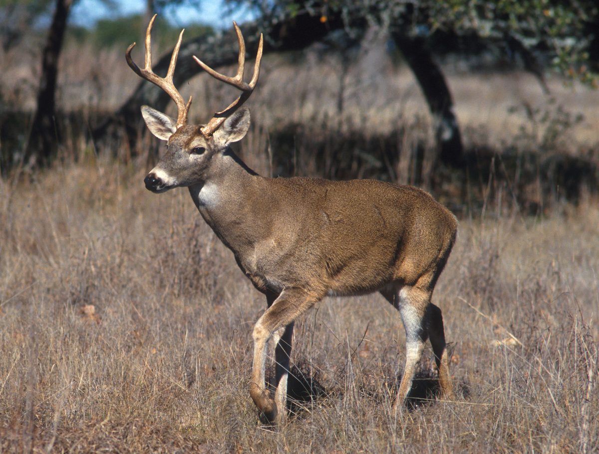 Big gameWhitetail DeerOdocoileus virginianus
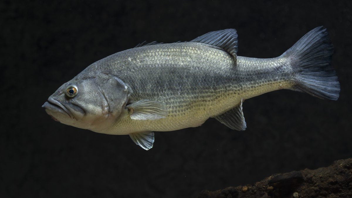 GamefishLargemouth BassMicropterus nigricans
 Wildlife guideNorth American beaverCastor canadensis
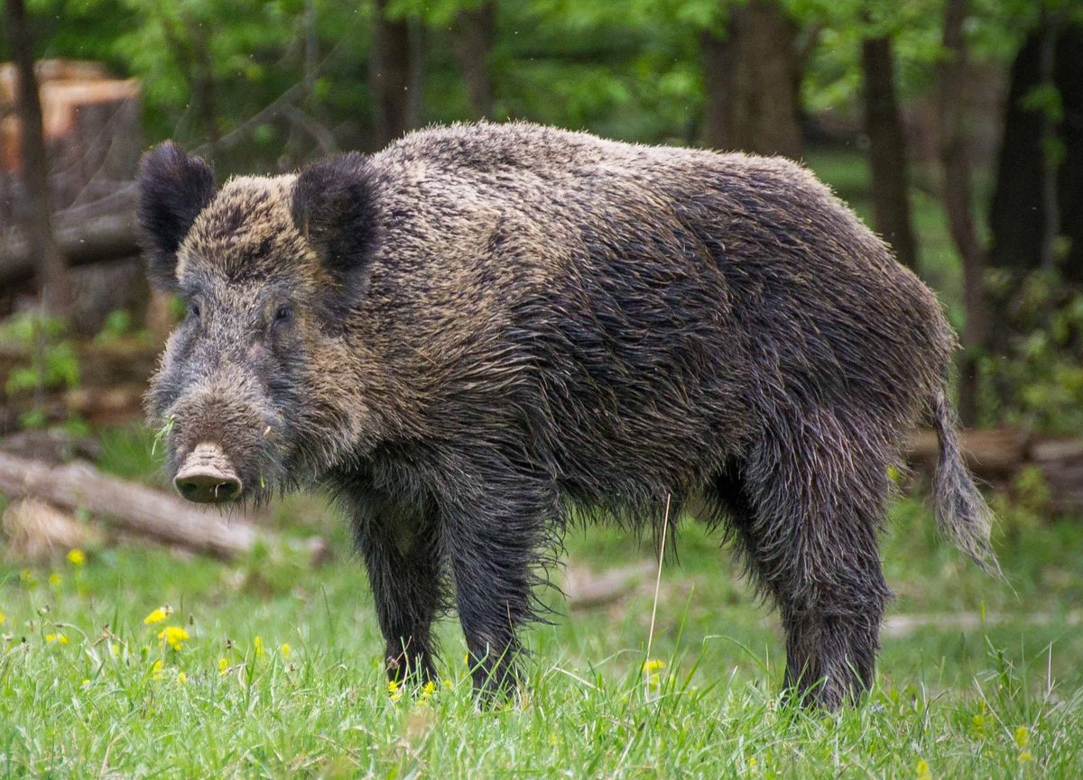 Big gameWild HogSus scrofa
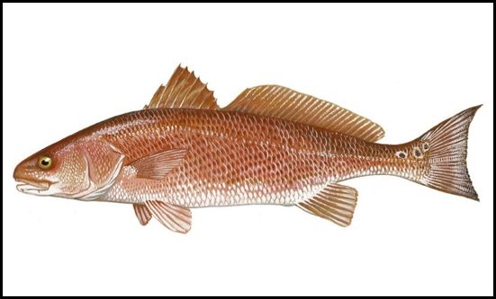 GamefishRed DrumSciaenops ocellatus
 Wildlife guideSnowshoe hareLepus americanus
 Big gameBlack BearUrsus americanus
Destination details need confirmation
The individual wildlife management areas intended by “Houston County Wildlife Management Areas (various)” have not been identified. Without confirmed property names, a reliable destination profile cannot establish the landscape, available activities, public entrances, routes, or managing agency. Do not treat this collective label as a single property or use it as a navigation destination. Before planning a visit, confirm the exact area name and location, then obtain its current access map and activity rules from the managing agency. Confirm permit requirements directly with that agency as well. Directions, route lengths, difficulty ratings, seasonal advice, and local hazards are left unspecified here rather than assigning details from a different destination to Houston County.
Sample itineraries
- One-day visit pending site confirmation · 1 day
Before planning a day in Houston County, confirm the individual wildlife management area's name, public access and permitted activities with its managing agency. No specific route or access point is confirmed.
- Two-day visit pending access confirmation · 2 days
Build a two-day plan only after confirming individual areas, access arrangements and allowed activities. Verify overnight options separately; camping availability is not established.
Seasonal conditions
Spring
Not confirmed
Local spring conditions and activity schedules are not established. Confirm conditions with the managing agency before choosing a visit date.
Summer
Not confirmed
Local summer conditions and access availability are not established. Obtain site-specific guidance before planning outdoor activities.
Fall
Not confirmed
Local fall conditions and hunting schedules are not established. Confirm which activities are allowed at the individual area.
Winter
Not confirmed
Local winter conditions and access availability are not established. Confirm current conditions before making travel plans.
| Season | Window | Conditions |
|---|---|---|
| Spring | Not confirmed | Local spring conditions and activity schedules are not established. Confirm conditions with the managing agency before choosing a visit date. |
| Summer | Not confirmed | Local summer conditions and access availability are not established. Obtain site-specific guidance before planning outdoor activities. |
| Fall | Not confirmed | Local fall conditions and hunting schedules are not established. Confirm which activities are allowed at the individual area. |
| Winter | Not confirmed | Local winter conditions and access availability are not established. Confirm current conditions before making travel plans. |
Permits, fees & closures
Confirm entry requirements and activity-specific permits with the managing agency for the individual Houston County wildlife management area.
Official source: What You Need to Know Public Hunting in Texas 2026-27 · Verified September 18, 2026
Hazards & regulations
- Site-specific hazards are unconfirmed; obtain a local safety briefing before visiting.
- Access points and boundaries are unconfirmed; verify the intended area before setting out.
- Activity schedules are unconfirmed; ask the managing agency about safety considerations for the planned visit.
What to pack for Houston County Wildlife Management Areas (various)
- Verified map of the individual area
- Current agency access instructions
- Managing agency contact details
- Site-specific equipment checklist confirmed for the intended activity
Houston County Wildlife Management Areas (various) FAQ
- Which Houston County wildlife management areas can be visited?
- Individual areas and their public access arrangements are not confirmed. Establish the exact site name with the managing agency before planning a visit.
- Are there confirmed trails or access points?
- No specific local trails, routes or access points are confirmed. Obtain a current site map and access instructions.
- Do Texas public hunting permits apply here?
- Do not use Texas permit rules to plan a Georgia visit. Confirm requirements with the agency managing the specific Georgia area.
- Can visitors hunt or camp?
- Neither activity is confirmed for an individual site here. Verify permitted activities and any associated requirements before making plans.
- What wildlife should visitors expect?
- No site-specific wildlife list is established. Ask the managing agency about local species and appropriate wildlife precautions.