



- Region
- FL, USA
- Country
- United States
- Best for
- hiking
- Best season
- Spring, Summer
- Permits
- Confirm current permit requirements and ac…
- Managed by
- U.S. Fish and Wildlife Service, Lake Woodruff National Wildlife Refuge
Plan with verified data
Lake Woodruff Wilderness trip tools
Tools for a trip here
Picked for how, when and where you're going. Free, no signup.
Photos of Lake Woodruff Wilderness
How to get there
Lake Woodruff National Wildlife Refuge is near DeLeon Springs, about 25 miles west of Daytona Beach. Its listed address is 2045 Mud Lake Road, De Leon Springs, FL 32130; contact the refuge at (386) 985-4673 for access guidance. The designated wilderness lies along the western refuge boundary between Honey Creek and the St. Johns River and requires boat access. The refuge address should not be treated as a confirmed boat launch.
- Lake Woodruff National Wildlife Refuge
The refuge's listed location at 2045 Mud Lake Road in De Leon Springs is the starting point for obtaining visitor and access information. Confirm where to begin a refuge walk or launch for a wilderness outing before traveling.
- St. Johns River
The river forms the refuge's western boundary and borders the wilderness. It provides a water-side approach to the area, not a specified launch site; confirm launch arrangements and wilderness boundaries with refuge staff.
Sources: fws.gov · University of Montana / federal agency partners · Wilderness Connect / federal wilderness boundary inventory. Confirm road and trailhead conditions with the managing agency before you leave.
FL, USA · United States
- Fishing
- Birdwatching
- Hiking
- Wildlife Viewing
- Canoeing
- Photography
A boat-access wilderness within a larger refuge
Lake Woodruff Wilderness occupies the western edge of Lake Woodruff National Wildlife Refuge, between Honey Creek and the St. Johns River in Florida. Designated in 1976, it protects roughly 1,000 acres of freshwater wetland country. Alexander Springs Wilderness lies across the river. The distinction between wilderness and refuge matters when planning a visit: the designated wilderness is accessible only by boat and has neither roads nor trails, while the larger refuge offers developed opportunities for walking and wildlife watching. Near DeLeon Springs, the refuge includes marshes, swamps, creeks, hammocks, and uplands. Choose a refuge walk for straightforward land-based exploration, or plan a separate water outing if entering the wilderness is the goal. Do not assume the refuge’s trail network reaches the wilderness.
Wildlife watching in a wetland landscape
Wildlife is the main reason to spend time here. The refuge was established in 1964 for migratory birds, and its wetlands support waterfowl, shorebirds, wading birds, and neotropical migrants. More than 200 bird species have been counted in the area; ducks make up more than half of its migratory birds. Ospreys and limpkins are characteristic sights or sounds, while otters, black bears, armadillos, and alligators also occur. Manatees move into the refuge and nearby Blue Springs in May and June. Bring binoculars and leave room in the day for patient observation rather than continuous travel. Watch animals from a distance, avoid approaching alligators at the water’s edge, and give wildlife space to move without being followed. Photography and birding fit this landscape especially well.
Choose the right kind of outing
For a land-based visit, the refuge has fifteen miles of trails available for hiking and bicycling, with horseback riding allowed on some trails. Levees through managed wetland impoundments provide opportunities to watch birds, alligators, and otters. These refuge outings should not be confused with a trail trip inside the designated wilderness. A wilderness visit requires boat access and more deliberate navigation through a landscape of water and wetlands. Confirm suitable launch arrangements, boundaries, current access rules, and any permit requirements with the U.S. Fish and Wildlife Service before departure. Carry drinking water, sun protection, and weather protection for time on exposed levees or open water. For boat outings, carry appropriate flotation and navigation equipment, and choose a turnaround point that leaves a comfortable margin for changing conditions.
Where on earth
Satellite imagery flying in from a world view to Lake Woodruff Wilderness, United States. Use the + / − buttons, or click the map to zoom with your scroll wheel; drag to pan and pinch to zoom on touch.
Coordinates
- Decimal degrees
- 29.0996, -81.4683
- Latitude (DMS)
- 29° 5′ 58.6″ N
- Longitude (DMS)
- 81° 28′ 6.0″ W
Coordinates are an access-point reference for Lake Woodruff Wilderness, not a route. Carry a paper map and confirm trailhead or put-in access with the managing agency before you go.
Topic summary
The Native Americans who once lived here harvested the rich food supply and left behind mounds, middens, and artifacts dating back 10,000 years. The native population began to dwindle after the Spanish...
Key takeaways
- Region: FL, USA
- Country: United States
- Good for: hiking
- Coordinates: 29.100, -81.468
Intended uses
hiking
Keep planning
Popular pursuits at Lake Woodruff Wilderness
- Fishing
Resident gamefish, seasons, and the water that holds them.
- Birdwatching
Migration windows and the habitat that concentrates birds.
- Hiking
Day miles on marked trail, with route notes and trail links below.
- Wildlife Viewing
Best light, best season, and where animals move.
- Canoeing
Paddle routes, portages, and put-ins.
- Photography
Vantage points and the hours worth setting an alarm for.
Animals around Lake Woodruff Wilderness
 Wildlife guideBlack bearUrsus americanus
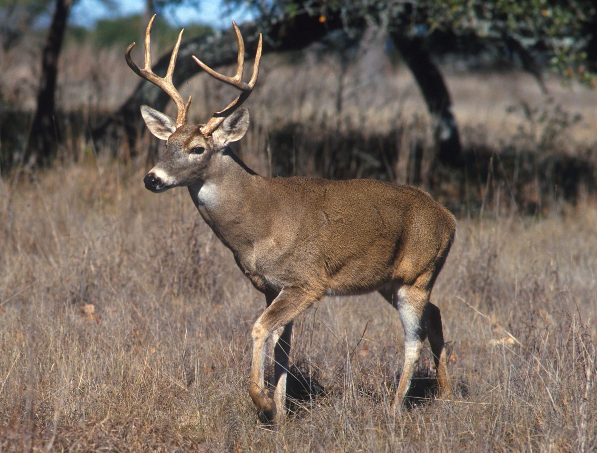 Big gameWhitetail DeerOdocoileus virginianus
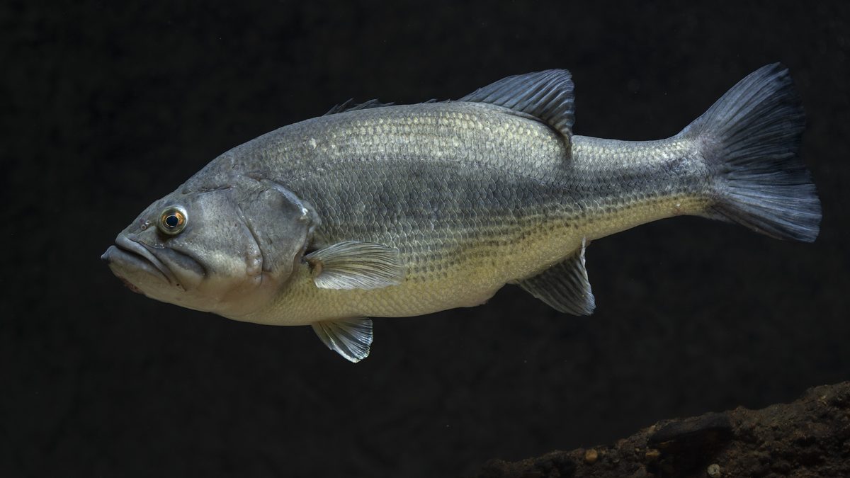 GamefishLargemouth BassMicropterus nigricans
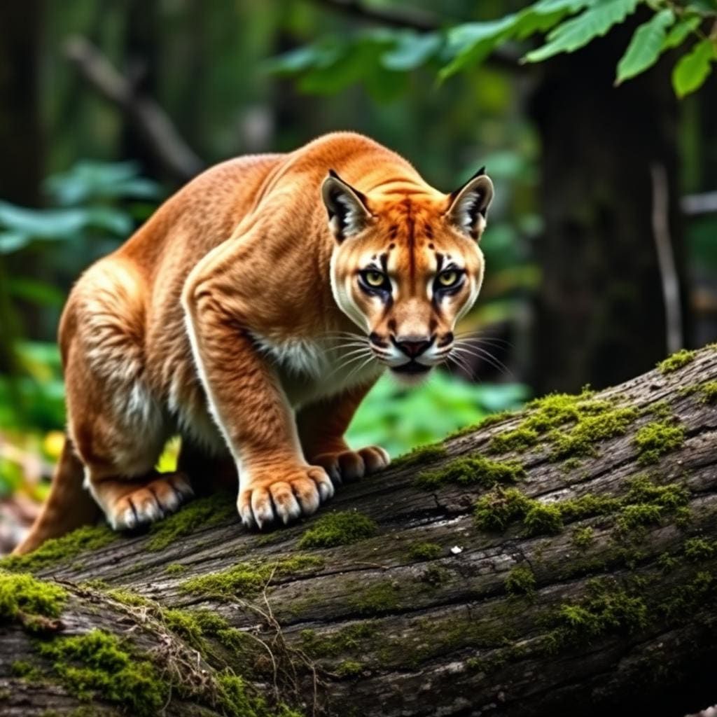 Wildlife guideCougarPuma concolor
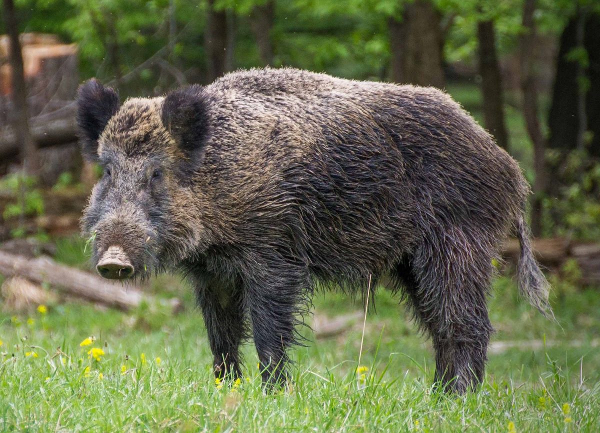 Big gameWild HogSus scrofa
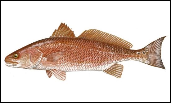 GamefishRed DrumSciaenops ocellatus
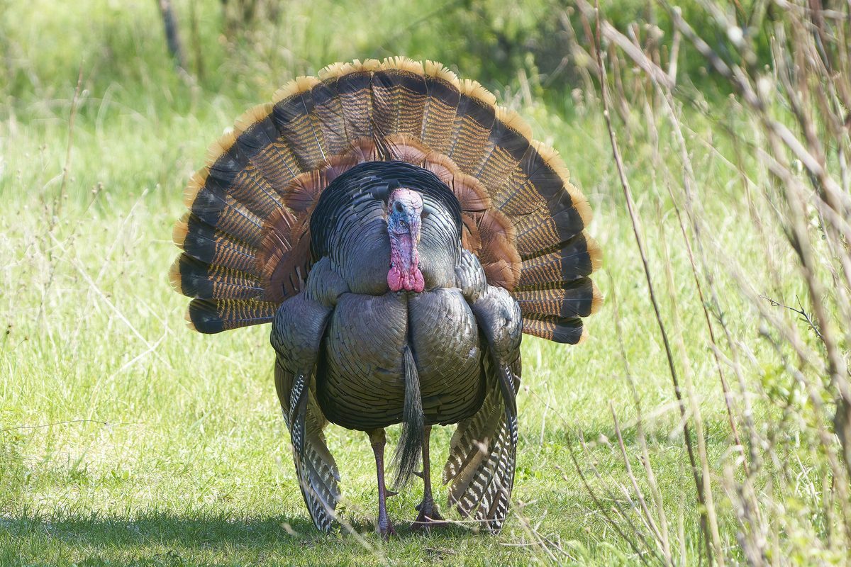 Wildlife guideWild turkeyMeleagris gallopavo
 Big gameBlack BearUrsus americanus
A boat-access wilderness within a larger refuge
Lake Woodruff Wilderness occupies the western edge of Lake Woodruff National Wildlife Refuge, between Honey Creek and the St. Johns River in Florida. Designated in 1976, it protects roughly 1,000 acres of freshwater wetland country. Alexander Springs Wilderness lies across the river. The distinction between wilderness and refuge matters when planning a visit: the designated wilderness is accessible only by boat and has neither roads nor trails, while the larger refuge offers developed opportunities for walking and wildlife watching. Near DeLeon Springs, the refuge includes marshes, swamps, creeks, hammocks, and uplands. Choose a refuge walk for straightforward land-based exploration, or plan a separate water outing if entering the wilderness is the goal. Do not assume the refuge’s trail network reaches the wilderness.
Wildlife watching in a wetland landscape
Wildlife is the main reason to spend time here. The refuge was established in 1964 for migratory birds, and its wetlands support waterfowl, shorebirds, wading birds, and neotropical migrants. More than 200 bird species have been counted in the area; ducks make up more than half of its migratory birds. Ospreys and limpkins are characteristic sights or sounds, while otters, black bears, armadillos, and alligators also occur. Manatees move into the refuge and nearby Blue Springs in May and June. Bring binoculars and leave room in the day for patient observation rather than continuous travel. Watch animals from a distance, avoid approaching alligators at the water’s edge, and give wildlife space to move without being followed. Photography and birding fit this landscape especially well.
Choose the right kind of outing
For a land-based visit, the refuge has fifteen miles of trails available for hiking and bicycling, with horseback riding allowed on some trails. Levees through managed wetland impoundments provide opportunities to watch birds, alligators, and otters. These refuge outings should not be confused with a trail trip inside the designated wilderness. A wilderness visit requires boat access and more deliberate navigation through a landscape of water and wetlands. Confirm suitable launch arrangements, boundaries, current access rules, and any permit requirements with the U.S. Fish and Wildlife Service before departure. Carry drinking water, sun protection, and weather protection for time on exposed levees or open water. For boat outings, carry appropriate flotation and navigation equipment, and choose a turnaround point that leaves a comfortable margin for changing conditions.
Route options
- Managed wetland impoundment levees
Walk refuge levees for views of birds, alligators, otters, and other wetland wildlife. Treat this as a refuge wildlife-watching outing rather than a trail route into the boat-access wilderness.
- Lake Woodruff National Wildlife Refuge trail network
Choose a hiking outing on the refuge's fifteen-mile trail network. Bicycling is also available, and some trails accommodate horseback riding. The network total is not the length of a single route, and these activities should not be assumed to extend into designated wilderness.
- Honey Creek–St. Johns River wilderness waters
Plan a boat-access exploration of the wilderness along the western refuge boundary between Honey Creek and the St. Johns River. There are no wilderness roads or trails. This is an area to plan an outing within, not a marked water route; confirm boundaries, permitted boat use, and launch access with the refuge.
Sample itineraries
- Refuge Levee Walk and Wildlife Watching · 1 day
Spend a day walking the levees through the refuge’s managed wetland impoundments. Look for ducks, ospreys, limpkins, alligators, and otters. This is a refuge outing, not a walking route into the designated wilderness, which is accessible only by boat.
- Boat-Based Wilderness Exploration · 1 day
Plan a nonmotorized boat outing to the wilderness along the western refuge boundary between Honey Creek and the Saint Johns River. Confirm suitable launch access and boundaries with refuge staff before choosing a route. There are no roads or trails within the wilderness; match the outing to paddling ability and conditions.
Seasonal conditions
Spring
Spring
Plan around current wetland and boating conditions rather than a fixed trail itinerary. Manatees begin moving into the refuge and nearby Blue Springs in May. Watch wildlife from a distance and keep boat movements deliberate.
Summer
Summer
Manatee movement into the refuge and nearby Blue Springs extends into June. For outings across freshwater marshes, lakes, and streams, carry drinking water and sun protection, check the weather, and leave time to return safely.
Fall
Fall
The refuge protects migratory bird habitat, with ducks accounting for more than half of its migratory birds. Keep birding plans flexible rather than assuming a peak viewing period. Check current conditions before committing to boat-only wilderness access.
Winter
Winter
Choose between refuge levee walks and boat-based wilderness exploration according to the weather and personal ability. Carry layers appropriate to the forecast and protect essential gear from water. Wilderness access remains distinct from the refuge’s hiking network.
| Season | Window | Conditions |
|---|---|---|
| Spring | Spring | Plan around current wetland and boating conditions rather than a fixed trail itinerary. Manatees begin moving into the refuge and nearby Blue Springs in May. Watch wildlife from a distance and keep boat movements deliberate. |
| Summer | Summer | Manatee movement into the refuge and nearby Blue Springs extends into June. For outings across freshwater marshes, lakes, and streams, carry drinking water and sun protection, check the weather, and leave time to return safely. |
| Fall | Fall | The refuge protects migratory bird habitat, with ducks accounting for more than half of its migratory birds. Keep birding plans flexible rather than assuming a peak viewing period. Check current conditions before committing to boat-only wilderness access. |
| Winter | Winter | Choose between refuge levee walks and boat-based wilderness exploration according to the weather and personal ability. Carry layers appropriate to the forecast and protect essential gear from water. Wilderness access remains distinct from the refuge’s hiking network. |
Permits, fees & closures
Confirm current permit requirements and activity rules with the U.S. Fish and Wildlife Service at Lake Woodruff National Wildlife Refuge.
Official source: Lake Woodruff National Wildlife Refuge · Verified November 1, 2026
Hazards & regulations
- Alligators are commonly sighted. Keep a generous distance, avoid approaching them at the water’s edge, and never feed wildlife.
- Black bears occur here. Keep food secured and give any bear room to move away.
- Boat-only wilderness access means a walk-out should not be assumed. Wear a personal flotation device, carry navigation tools, and leave an outing plan with someone ashore.
- Freshwater marshes, timbered swamps, lakes, and streams complicate travel away from established refuge walking areas. Do not treat wetland terrain as an overland shortcut.
What to pack for Lake Woodruff Wilderness
- Personal flotation device
- Paddle and suitable nonmotorized boat
- Waterproof map showing wilderness boundaries
- Dry bags
- Waterproof communication device
- Comfortable walking footwear
- Drinking water
- Sun protection
- Forecast-appropriate layers
- First-aid kit
- Binoculars
- Camera with a distance-friendly lens
- Bird identification guide
- Secure food storage
Lake Woodruff Wilderness FAQ
- Where is Lake Woodruff Wilderness?
- It lies within Lake Woodruff National Wildlife Refuge near DeLeon Springs, Florida, along the western refuge boundary between Honey Creek and the Saint Johns River. Alexander Springs Wilderness is across the river.
- Can the wilderness be reached on foot?
- The designated wilderness areas are accessible only by boat and have neither roads nor trails. Levee walks through managed wetland impoundments offer wildlife viewing elsewhere in the refuge.
- How much hiking is available in the refuge?
- The broader refuge has 15 miles of trails for hiking, bicycling, and horseback riding, though not all trails allow horses. These refuge opportunities should not be confused with access inside the designated wilderness.
- Can motorboats or bicycles be used in the wilderness?
- Motorized equipment and mechanical transport, including motorboats and bicycles, are generally prohibited in wilderness. Confirm exact boundaries and applicable activity rules with refuge staff before traveling.
- What fishing opportunities are described?
- Visitors fish for bass, bream, and crappie. Confirm current fishing requirements and where fishing is allowed with the refuge before planning an outing.
- Who can help confirm access?
- Contact Lake Woodruff National Wildlife Refuge at (386) 985-4673. Its listed address is 2045 Mud Lake Road, De Leon Springs, Florida. Confirm a suitable boat launch separately; the refuge address is not identified as wilderness boat access.