



- Region
- OR, USA
- Country
- United States
- Best for
- hiking
- Best season
- Spring, Summer
- Permits
- A Wilderness Self-Issue Permit is required…
- Managed by
- U.S. Forest Service, Willamette National Forest, Sweet Home Ranger District
Plan with verified data
Menagerie Wilderness trip tools
Tools for a trip here
Picked for how, when and where you're going. Free, no signup.
Photos of Menagerie Wilderness
How to get there
Main access is from State Highway 20. Reach Trout Creek Trail #3405 at milepost 48.8 near Trout Creek Campground, or Rooster Rock Trail #3399 at milepost 51.5 near Fernview Campground. For current access information, contact Sweet Home Ranger Station at 4431 Highway 20, Sweet Home, OR 97386; (541) 367-5168.
- Trout Creek Trailhead
Access Trout Creek Trail #3405 from State Highway 20 at milepost 48.8, near Trout Creek Campground. The trail leads eventually to Rooster Rock. A recreation pass is required here.
- Rooster Rock Trail access
Access Rooster Rock Trail #3399 from State Highway 20 at milepost 51.5, near Fernview Campground. This is the shorter of the two main trail approaches to Rooster Rock.
Sources: fs.usda.gov · University of Montana / federal agency partners · Wilderness Connect / federal wilderness boundary inventory. Confirm road and trailhead conditions with the managing agency before you leave.
OR, USA · United States
- Fishing
- Climbing
- Mountaineering
- Hiking
- Backpacking
- Wildlife Viewing
Forested slopes and rock pinnacles
Menagerie Wilderness is a small, mostly low-elevation wilderness in Oregon’s Willamette National Forest, where rock pinnacles rise through thick forest. Elevations run from 1,600 to 3,900 feet, and second-growth Douglas-fir, western hemlock, and western red cedar dominate the slopes. The names reflect the climbers who explored these formations: Roosters Tail, Chicken Rock, Hen Rock, Turkey Monster, and North and South Rabbit Ears are among the towers. Rooster Rock is the best known and the main destination reached by the two principal trails. Established in 1984, the wilderness covers roughly 4,965 acres. Its scale makes it a practical day-trip destination, but the rugged ground beyond the trails demands more care than its modest acreage might suggest. Plan around a specific trail or climbing objective rather than assuming all the formations are connected by maintained paths.
Hiking approaches and technical climbing
Two main hiking approaches lead eventually to Rooster Rock: the 2.1-mile Rooster Rock Trail and the 3.3-mile Trout Creek Trail. These are approach trails, not promises of a walk-up summit. Rooster Rock is a technical climbing objective, with an ascent described at 5.4; routes on the wilderness’s towers reach at least 5.9. Climbers should choose an objective that matches their skills and bring the equipment needed for technical climbing rather than treating the rock formations as casual scrambles. Seeing the other pinnacles requires cross-country travel over rugged terrain. That changes the outing from a trail hike to a navigation-dependent trip through forest and broken ground. For hikers who want to stay on established routes, either of the two main trails offers a clearer plan than trying to link several animal-named formations in one outing.
Seasonal access, permits, and restrictions
Low elevations allow year-round use of parts of Menagerie Wilderness, but that does not mean every part is open throughout the year. The north end is closed to all entry from January 15 through July 31 to meet protected-species management objectives. Check the closure boundary before planning a route, especially for cross-country travel beyond the main approaches. A Wilderness Self-Issue Permit is required for both day use and overnight stays from June 15 through October 15. These permits are free and self-issued at the trailhead. A recreation pass is required at Trout Creek Trailhead; confirm the applicable pass with Willamette National Forest before departure. Also check current forest alerts and wilderness camping and fire restrictions. Distinguish the seasonal northern closure from the broader year-round hiking opportunity when choosing where and when to go.
Prepare for a wilderness without facilities
There are no facilities within Menagerie Wilderness, and potable water is not available at the site. Carry drinking water appropriate to the outing, along with food, weather protection, and navigation tools. The forested, rugged setting calls for footwear suited to uneven ground and enough time to return without rushing, particularly if leaving the trails. Pack out all trash and properly dispose of human and pet waste. Nearby developed recreation sites include Trout Creek Campground, Trout Creek Day Use Area, Fernview Campground, Fernview Day Use Area, Yukwah Campground, and Longbow Organization Camp; their proximity should not be confused with services inside the wilderness. At developed recreation sites, dogs must be on a leash no longer than six feet or otherwise under physical restrictive control. Sweet Home Ranger Station is the local contact for access questions and current conditions.
Where on earth
Satellite imagery flying in from a world view to Menagerie Wilderness, United States. Use the + / − buttons, or click the map to zoom with your scroll wheel; drag to pan and pinch to zoom on touch.
Coordinates
- Decimal degrees
- 44.4192, -122.3061
- Latitude (DMS)
- 44° 25′ 9.0″ N
- Longitude (DMS)
- 122° 18′ 21.8″ W
Coordinates are an access-point reference for Menagerie Wilderness, not a route. Carry a paper map and confirm trailhead or put-in access with the managing agency before you go.
Topic summary
Technical rock climbers travel substantial distances to test their skills on the series of weird rock pinnacles that dominates Menagerie Wilderness. Each is named after a different animal--Roosters Tail...
Key takeaways
- Region: OR, USA
- Country: United States
- Good for: hiking
- Coordinates: 44.419, -122.306
Intended uses
hiking
Keep planning
Popular pursuits at Menagerie Wilderness
- Fishing
Resident gamefish, seasons, and the water that holds them.
- Climbing
Rock and alpine lines with approach beta.
- Mountaineering
Glacier and high-route objectives with real consequence.
- Hiking
Day miles on marked trail, with route notes and trail links below.
- Backpacking
Multi-day travel with everything on your back — see the packing blocks below.
- Wildlife Viewing
Best light, best season, and where animals move.
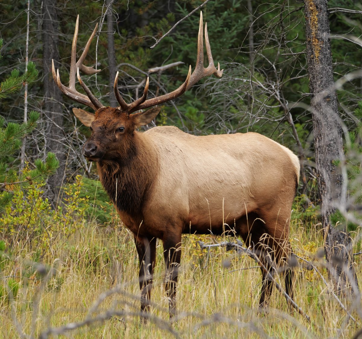
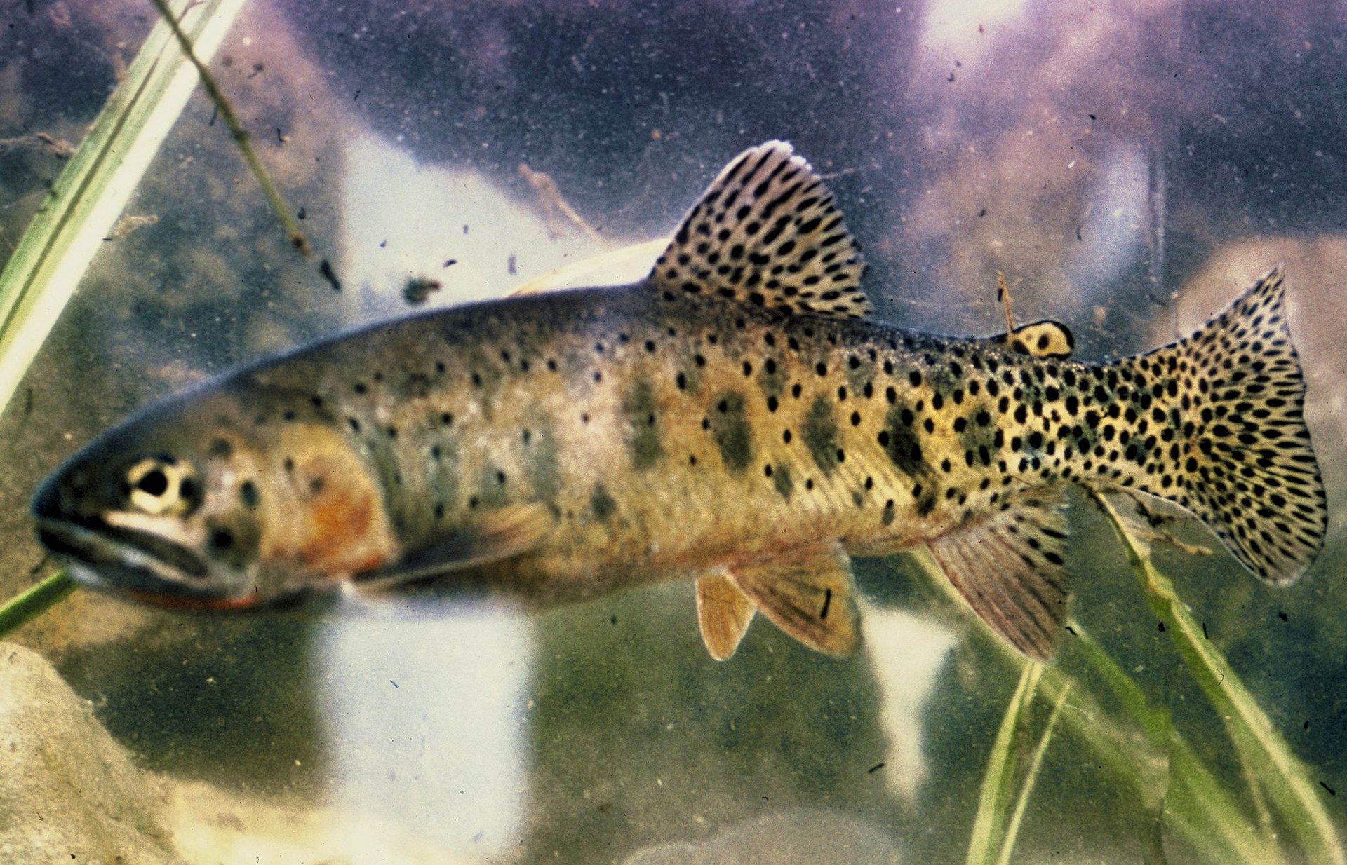
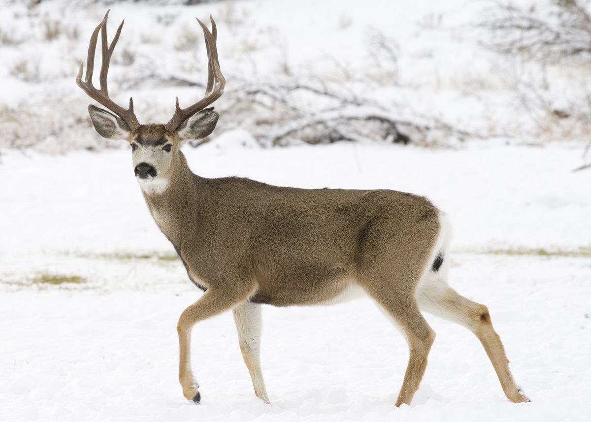
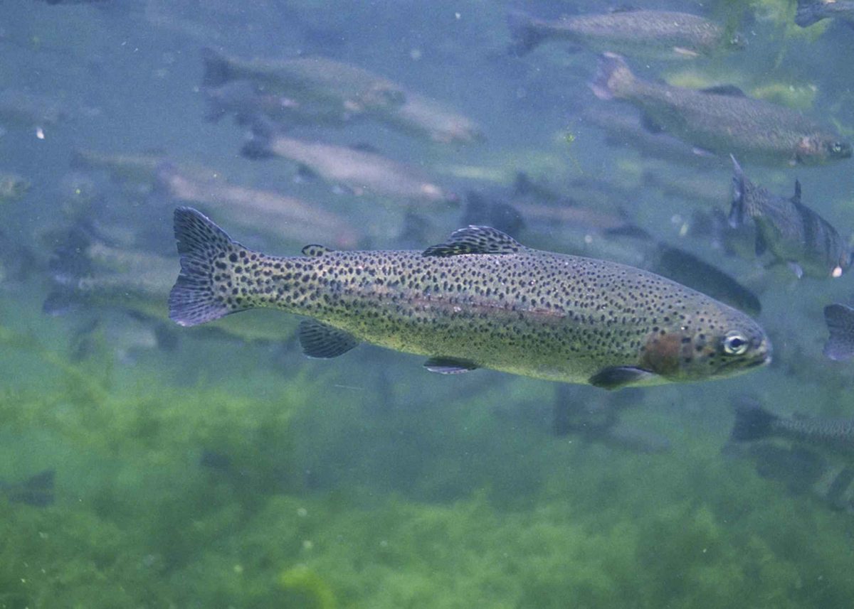
Animals around Menagerie Wilderness



Forested slopes and rock pinnacles
Menagerie Wilderness is a small, mostly low-elevation wilderness in Oregon’s Willamette National Forest, where rock pinnacles rise through thick forest. Elevations run from 1,600 to 3,900 feet, and second-growth Douglas-fir, western hemlock, and western red cedar dominate the slopes. The names reflect the climbers who explored these formations: Roosters Tail, Chicken Rock, Hen Rock, Turkey Monster, and North and South Rabbit Ears are among the towers. Rooster Rock is the best known and the main destination reached by the two principal trails. Established in 1984, the wilderness covers roughly 4,965 acres. Its scale makes it a practical day-trip destination, but the rugged ground beyond the trails demands more care than its modest acreage might suggest. Plan around a specific trail or climbing objective rather than assuming all the formations are connected by maintained paths.
Hiking approaches and technical climbing
Two main hiking approaches lead eventually to Rooster Rock: the 2.1-mile Rooster Rock Trail and the 3.3-mile Trout Creek Trail. These are approach trails, not promises of a walk-up summit. Rooster Rock is a technical climbing objective, with an ascent described at 5.4; routes on the wilderness’s towers reach at least 5.9. Climbers should choose an objective that matches their skills and bring the equipment needed for technical climbing rather than treating the rock formations as casual scrambles. Seeing the other pinnacles requires cross-country travel over rugged terrain. That changes the outing from a trail hike to a navigation-dependent trip through forest and broken ground. For hikers who want to stay on established routes, either of the two main trails offers a clearer plan than trying to link several animal-named formations in one outing.
Seasonal access, permits, and restrictions
Low elevations allow year-round use of parts of Menagerie Wilderness, but that does not mean every part is open throughout the year. The north end is closed to all entry from January 15 through July 31 to meet protected-species management objectives. Check the closure boundary before planning a route, especially for cross-country travel beyond the main approaches. A Wilderness Self-Issue Permit is required for both day use and overnight stays from June 15 through October 15. These permits are free and self-issued at the trailhead. A recreation pass is required at Trout Creek Trailhead; confirm the applicable pass with Willamette National Forest before departure. Also check current forest alerts and wilderness camping and fire restrictions. Distinguish the seasonal northern closure from the broader year-round hiking opportunity when choosing where and when to go.
Prepare for a wilderness without facilities
There are no facilities within Menagerie Wilderness, and potable water is not available at the site. Carry drinking water appropriate to the outing, along with food, weather protection, and navigation tools. The forested, rugged setting calls for footwear suited to uneven ground and enough time to return without rushing, particularly if leaving the trails. Pack out all trash and properly dispose of human and pet waste. Nearby developed recreation sites include Trout Creek Campground, Trout Creek Day Use Area, Fernview Campground, Fernview Day Use Area, Yukwah Campground, and Longbow Organization Camp; their proximity should not be confused with services inside the wilderness. At developed recreation sites, dogs must be on a leash no longer than six feet or otherwise under physical restrictive control. Sweet Home Ranger Station is the local contact for access questions and current conditions.
Route options
- Rooster Rock Trail #33992.1-mile trail
Follow the shorter main hiking approach toward Rooster Rock. Reaching the formation by trail is separate from climbing it; a summit ascent requires technical climbing skills.
- Trout Creek Trail #34053.3-mile trail
Take the longer main trail approach, which leads eventually to Rooster Rock. Start near Trout Creek Campground on State Highway 20 and confirm recreation-pass requirements before arriving.
- Rooster Rock technical ascentTechnical rock climbing; an ascent is described at 5.4.
Use one of the main hiking approaches to reach the wilderness’s most popular climbing formation. Choose the climbing line and equipment to match the party’s technical ability.
- Cross-country exploration of the pinnaclesRugged off-trail travel requiring navigation skills.
Travel beyond the main trails to see other formations in the menagerie. This requires navigating rugged terrain rather than following a described connecting trail. Check the northern seasonal closure boundary before choosing an objective.
Sample itineraries
- Rooster Rock Trail day hike · 1 day
Access Rooster Rock Trail #3399 from State Highway 20 at milepost 51.5. The 2.1-mile trail leads toward Rooster Rock through thick forest. Keep the outing a hike unless equipped and trained for technical climbing. Check the seasonal closure boundary before setting out.
- Trout Creek approach · 1 day
Start at Trout Creek Trail #3405, accessed from State Highway 20 at milepost 48.8 near Trout Creek Campground. The 3.3-mile trail leads eventually to Rooster Rock. Carry drinking water, arrange the required trailhead recreation pass, and verify that the planned route avoids closed areas.
- Rooster Rock technical climbing day · 1 day
Approach Rooster Rock using one of the two main trails. Rooster Rock has a 5.4 ascent; routes on the wilderness towers reach at least 5.9. Choose a climb within the party's skills and carry technical equipment. Confirm seasonal access before selecting a tower.
Seasonal conditions
Spring
Spring
Low elevations support year-round outings, but the north end is closed to all entry throughout spring under the January 15–July 31 protected-species closure. Plan within open areas and bring weather protection for a forest outing without facilities.
Summer
Summer
The north-end closure continues through July 31. Wilderness self-issue permits are required beginning June 15. Carry drinking water; potable water is unavailable. Check current fire restrictions before visiting.
Fall
Fall
The low-elevation wilderness remains suitable for day trips when conditions allow. Self-issue permits remain required through October 15. Bring layers and rain protection, and allow enough daylight for the return hike through thick forest.
Winter
Winter
Year-round use is possible at these low elevations, but that does not guarantee favorable trail or climbing conditions. The north end closes to all entry beginning January 15. Check conditions and carry insulating layers and weather protection.
| Season | Window | Conditions |
|---|---|---|
| Spring | Spring | Low elevations support year-round outings, but the north end is closed to all entry throughout spring under the January 15–July 31 protected-species closure. Plan within open areas and bring weather protection for a forest outing without facilities. |
| Summer | Summer | The north-end closure continues through July 31. Wilderness self-issue permits are required beginning June 15. Carry drinking water; potable water is unavailable. Check current fire restrictions before visiting. |
| Fall | Fall | The low-elevation wilderness remains suitable for day trips when conditions allow. Self-issue permits remain required through October 15. Bring layers and rain protection, and allow enough daylight for the return hike through thick forest. |
| Winter | Winter | Year-round use is possible at these low elevations, but that does not guarantee favorable trail or climbing conditions. The north end closes to all entry beginning January 15. Check conditions and carry insulating layers and weather protection. |
Permits, fees & closures
A Wilderness Self-Issue Permit is required for day use and overnight stays from June 15 through October 15. Permits are self-issued at the trailhead. Confirm current camping, fire, and wilderness restrictions with the Sweet Home Ranger District.
Fees: Wilderness self-issue permits are free. Trout Creek Trailhead requires a recreation pass; some other trailheads also require one. Confirm applicable pass requirements before arrival.
Official source: Willamette National Forest | Menagerie Wilderness · Verified November 9, 2026
Hazards & regulations
- Rock pinnacles and cliffs require technical climbing skills. Reaching Rooster Rock by trail does not make its summit a hiking destination.
- Reaching formations beyond Rooster Rock requires cross-country travel over rugged terrain. Thick forest adds navigation demands.
- There are no facilities within the wilderness and no potable water. Carry sufficient drinking water and supplies for delays.
- The north end is closed to all entry January 15–July 31 for protected-species management. Verify the closure boundary rather than assuming a named formation is accessible.
- Low elevation and year-round use do not eliminate weather exposure. Check conditions before hiking or climbing.
What to pack for Menagerie Wilderness
- Map showing trails and the seasonal closure boundary
- Compass or offline navigation
- Headlamp
- First-aid kit
- Sufficient drinking water
- Food and extra snacks
- Rain protection
- Insulating layers
- Footwear suitable for rugged terrain
- Climbing helmet
- Harness and rope
- Protection and other equipment appropriate to the chosen route
- Trash bags
- Supplies for proper human-waste disposal
- Pet-waste bags if bringing a dog
Menagerie Wilderness FAQ
- Where is Menagerie Wilderness, and how is it accessed?
- Menagerie Wilderness is in Oregon's Willamette National Forest, in the Sweet Home Ranger District. Main access is from State Highway 20: Trout Creek Trail #3405 at milepost 48.8 or Rooster Rock Trail #3399 at milepost 51.5.
- Can Rooster Rock be visited without climbing?
- Both main trails lead toward Rooster Rock, allowing a hiking outing without a summit ascent. Climbing the rock requires technical skills; a 5.4 ascent is described. Other tower routes reach at least 5.9.
- What terrain and forest should visitors expect?
- Elevations range from 1,600 to 3,900 feet. Thick second-growth Douglas-fir, western hemlock, and western red cedar surround rock pinnacles and cliffs. Visiting formations beyond Rooster Rock requires rugged cross-country travel.
- Are water, facilities, or nearby campgrounds available?
- There are no facilities within the wilderness, and potable water is unavailable. Nearby campgrounds include Fernview, Yukwah, and Trout Creek. Confirm campground arrangements separately and check wilderness camping restrictions before planning an overnight stay.
- Can dogs come along?
- Within developed recreation sites, dogs must be on a leash no longer than 6 feet or otherwise under physical restrictive control. Dispose of pet waste properly and confirm any additional requirements with the managing agency.
- Who can confirm current access and restrictions?
- Contact Sweet Home Ranger Station at (541) 367-5168. Confirm the north-end closure boundary, current trail conditions, recreation-pass requirements, and camping and fire restrictions before departure.