



- Region
- CO, USA
- Country
- United States
- Best for
- hiking
- Best season
- Spring, Summer
- Permits
- Confirm current access rules and any autho…
- Managed by
- National Park Service, Mesa Verde National Park
Plan with verified data
Mesa Verde Wilderness trip tools
Tools for a trip here
Picked for how, when and where you're going. Free, no signup.
Photos of Mesa Verde Wilderness
How to get there
Mesa Verde National Park is in Montezuma County in southwestern Colorado. The wilderness occupies sections of the park’s north and east escarpments and has no general public access. Plan arrival around public national park facilities, not the wilderness inventory map point, which is not a trailhead, campsite, or access point. Confirm current public access arrangements with the National Park Service.
- North escarpment wilderness units
Two small wilderness units occupy the park’s north escarpment. These are protected boundary areas, not public entry points; general public visitation is prohibited.
- East escarpment wilderness unit
The larger of the three wilderness units lies on the east escarpment. It is closed to general public visitation and should not be used as an approach for hiking or backcountry travel.
Sources: nps.gov · University of Montana / federal agency partners · Wilderness Connect / federal wilderness boundary inventory. Confirm road and trailhead conditions with the managing agency before you leave.
CO, USA · United States
- Hunting
- Mountaineering
- Desert Hiking
- Canyoneering
- Hiking
- Wildlife Viewing
- Backpacking
A protected wilderness, not a hiking destination
Mesa Verde Wilderness occupies three separate sections along the steep north and east boundaries of Mesa Verde National Park in southwestern Colorado. Two small units lie on the north escarpment, and a larger unit lies on the east escarpment. These areas serve as buffers around significant Native American sites and their natural setting. The essential planning fact is that the wilderness is closed to general public visitation. It is not a destination for a wilderness hike, overnight trip, or cross-country exploration. A public visit instead belongs in the surrounding national park, where hiking is limited to developed areas and designated trails. Keep that distinction clear when planning: the park offers opportunities to experience Mesa Verde’s landscape and cultural history, but those opportunities do not provide access to its designated wilderness.
Ancestral Pueblo homelands and fragile architecture
Mesa Verde’s cultural landscape extends well beyond its best-known cliff dwellings. The national park contains nearly 5,000 known archeological sites, including 600 cliff dwellings, across 52,000 acres. Ancestral Pueblo people lived here for more than 700 years, developing communities that included pithouses, mesa-top masonry homes, towers, and kivas. The sandstone dwellings sheltered beneath cliff overhangs belong to the later part of that history. Around AD 1300, people migrated south; their descendants did not disappear and continue to live in Pueblo communities today. Twenty-six tribes have a special relationship with the park. Treat the buildings, artifacts, and surrounding ground as parts of a living cultural heritage rather than abandoned scenery. Federal law prohibits harming or removing artifacts. Cliff Palace also illustrates how unstable fill, subsurface water, and repeated visitation can place ancient structures under strain.
Woodlands, fire recovery, and a changing landscape
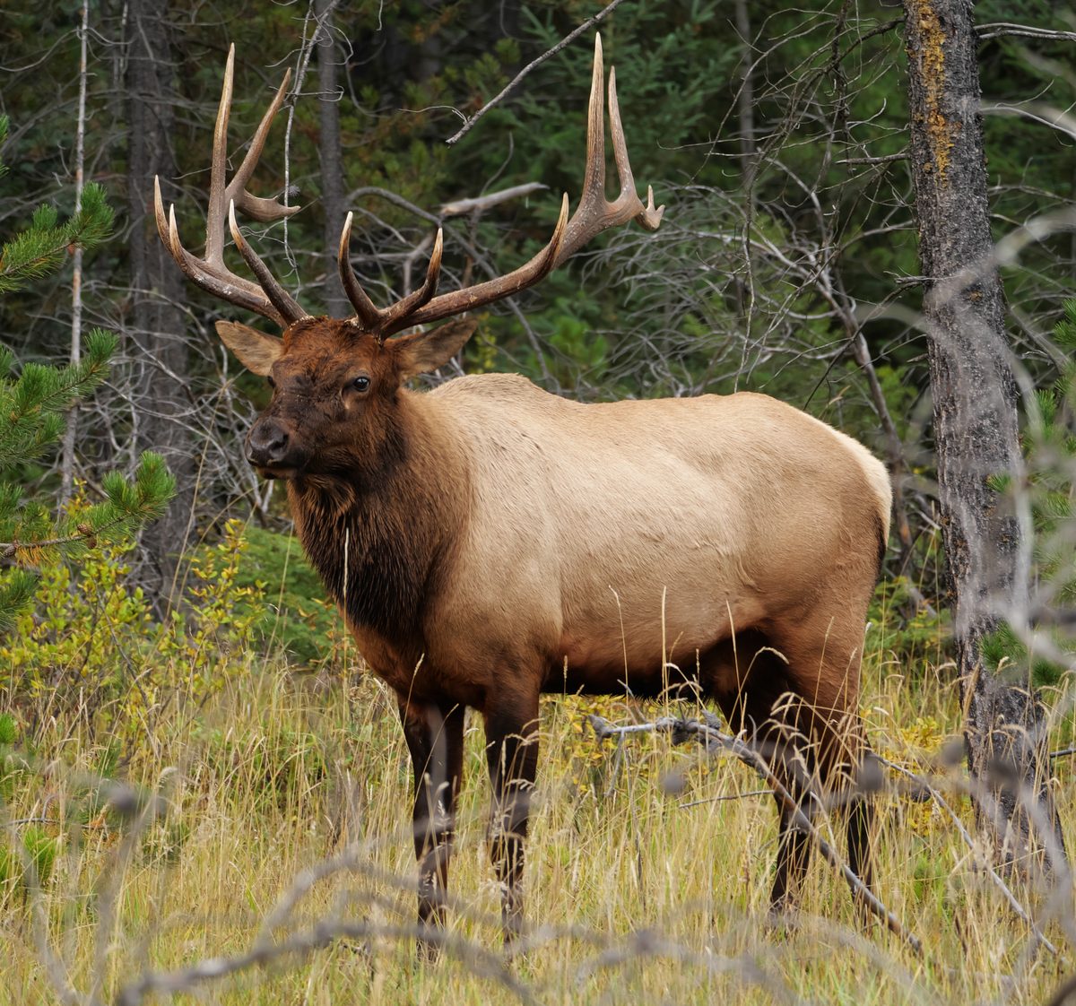
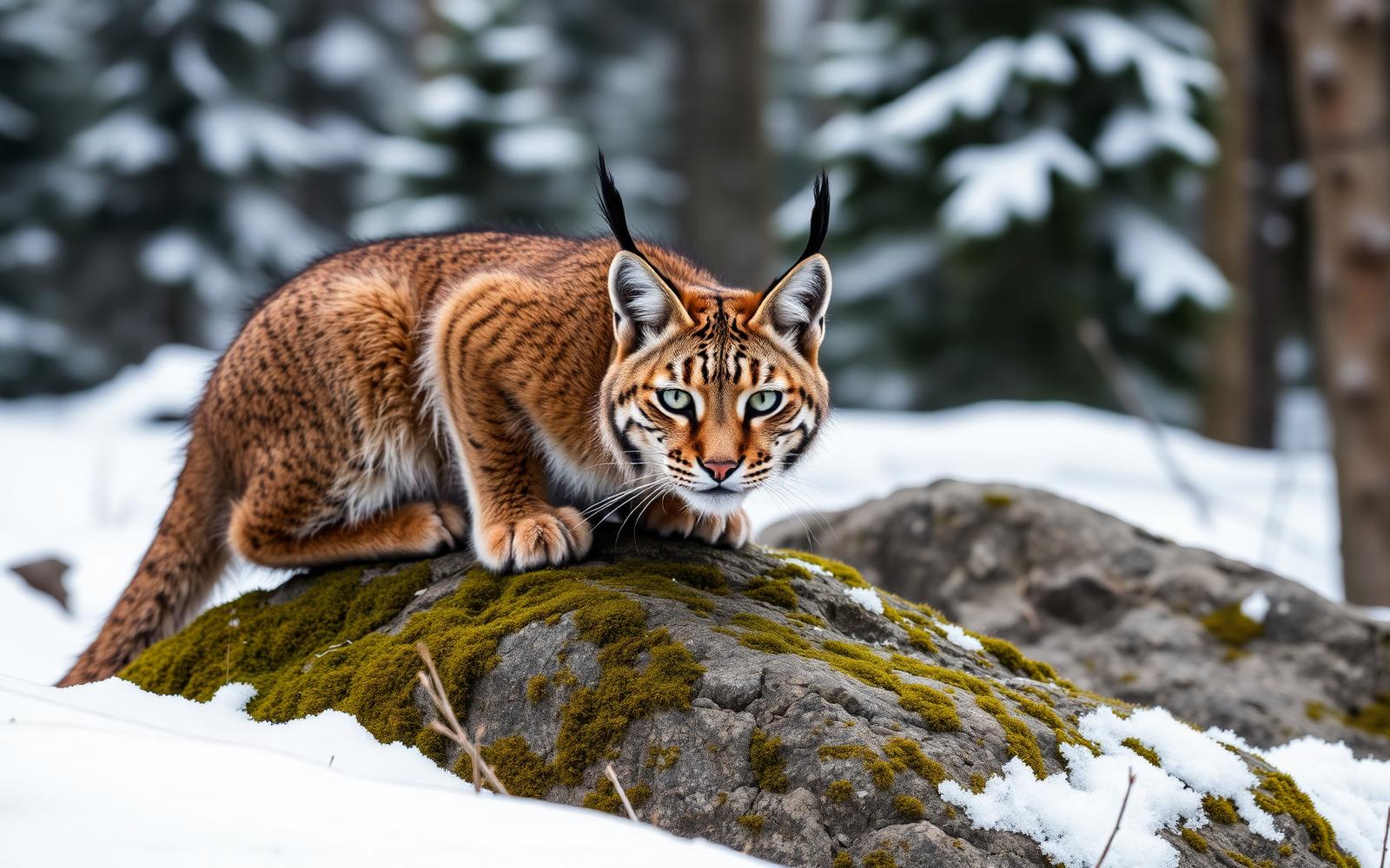
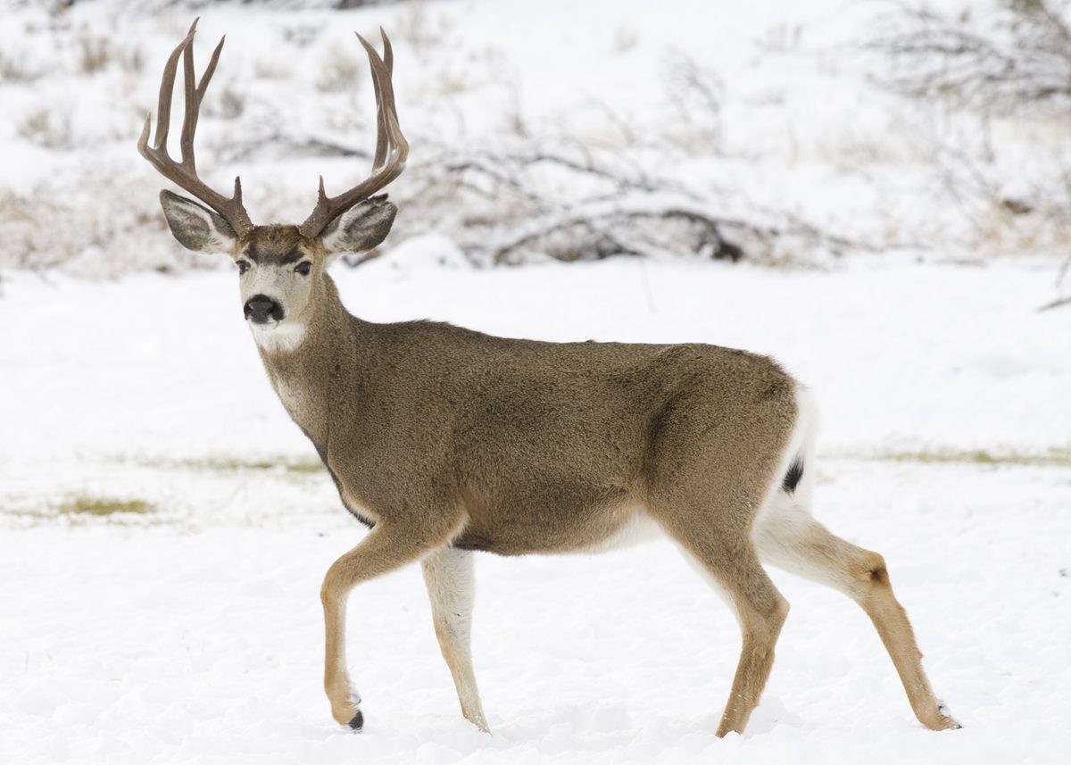
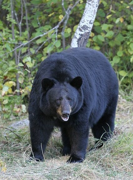
The wilderness protects stands of piñon-juniper woodland and other ecological communities, with a significant portion undergoing early recovery after fire. Its steep escarpments form part of a landscape of mesas rising nearly 800 feet above the surrounding valley. Across the park, a warming and drying climate has destabilized forested and aquatic habitats, while non-native species, habitat degradation, and pollution add pressure. Deer, elk, black bears, bobcats, mountain lions, and golden eagles are among the animals found in the park. During a permitted public visit elsewhere in the park, give wildlife space and carry water suited to a dry landscape. Keep plans tied to designated trails rather than assuming that visible open country is available for exploration. The wilderness’s role here is protection, including space for ecological recovery, rather than recreational access.
Where on earth
Satellite imagery flying in from a world view to Mesa Verde Wilderness, United States. Use the + / − buttons, or click the map to zoom with your scroll wheel; drag to pan and pinch to zoom on touch.
Coordinates
- Decimal degrees
- 37.2734, -108.5296
- Latitude (DMS)
- 37° 16′ 24.4″ N
- Longitude (DMS)
- 108° 31′ 46.5″ W
Coordinates are an access-point reference for Mesa Verde Wilderness, not a route. Carry a paper map and confirm trailhead or put-in access with the managing agency before you go.
Topic summary
About 1,400 years ago, the Ancestral Pueblo people began their occupation of Mesa Verde. Sandstone dwellings deep within the shady overhangs of Mesa Verde's cliffs were not constructed and occupied until...
Key takeaways
- Region: CO, USA
- Country: United States
- Good for: hiking
- Coordinates: 37.273, -108.530
Intended uses
hiking
Keep planning
Popular pursuits at Mesa Verde Wilderness
- Hunting
Seasons, tags, and the units that hold animals.
- Mountaineering
Glacier and high-route objectives with real consequence.
- Desert Hiking
Water carries and heat management drive the plan.
- Canyoneering
Narrows, downclimbs, and flash-flood timing.
- Hiking
Day miles on marked trail, with route notes and trail links below.
- Wildlife Viewing
Best light, best season, and where animals move.
Animals around Mesa Verde Wilderness


A protected wilderness, not a hiking destination
Mesa Verde Wilderness occupies three separate sections along the steep north and east boundaries of Mesa Verde National Park in southwestern Colorado. Two small units lie on the north escarpment, and a larger unit lies on the east escarpment. These areas serve as buffers around significant Native American sites and their natural setting. The essential planning fact is that the wilderness is closed to general public visitation. It is not a destination for a wilderness hike, overnight trip, or cross-country exploration. A public visit instead belongs in the surrounding national park, where hiking is limited to developed areas and designated trails. Keep that distinction clear when planning: the park offers opportunities to experience Mesa Verde’s landscape and cultural history, but those opportunities do not provide access to its designated wilderness.
Ancestral Pueblo homelands and fragile architecture
Mesa Verde’s cultural landscape extends well beyond its best-known cliff dwellings. The national park contains nearly 5,000 known archeological sites, including 600 cliff dwellings, across 52,000 acres. Ancestral Pueblo people lived here for more than 700 years, developing communities that included pithouses, mesa-top masonry homes, towers, and kivas. The sandstone dwellings sheltered beneath cliff overhangs belong to the later part of that history. Around AD 1300, people migrated south; their descendants did not disappear and continue to live in Pueblo communities today. Twenty-six tribes have a special relationship with the park. Treat the buildings, artifacts, and surrounding ground as parts of a living cultural heritage rather than abandoned scenery. Federal law prohibits harming or removing artifacts. Cliff Palace also illustrates how unstable fill, subsurface water, and repeated visitation can place ancient structures under strain.
Woodlands, fire recovery, and a changing landscape
The wilderness protects stands of piñon-juniper woodland and other ecological communities, with a significant portion undergoing early recovery after fire. Its steep escarpments form part of a landscape of mesas rising nearly 800 feet above the surrounding valley. Across the park, a warming and drying climate has destabilized forested and aquatic habitats, while non-native species, habitat degradation, and pollution add pressure. Deer, elk, black bears, bobcats, mountain lions, and golden eagles are among the animals found in the park. During a permitted public visit elsewhere in the park, give wildlife space and carry water suited to a dry landscape. Keep plans tied to designated trails rather than assuming that visible open country is available for exploration. The wilderness’s role here is protection, including space for ecological recovery, rather than recreational access.
Route options
- Developed-area walking outside the wilderness
A public alternative to entering the wilderness is walking around the national park’s developed areas. This is a visit category rather than a specified itinerary; confirm suitable locations and current access with the National Park Service.
- Designated trails outside the wilderness
Keep any park hiking outside developed areas on designated trails. These trails do not authorize entry into the closed wilderness units. Confirm trail choices and conditions with the National Park Service before setting out.
Sample itineraries
- One-day park visit outside the wilderness · 1 day
Mesa Verde Wilderness is closed to general public visitation. Instead, spend a day in Mesa Verde National Park’s developed areas and on designated trails. Focus on Ancestral Pueblo history and views of the mesa landscape; confirm current visitor access with the National Park Service before choosing stops.
- Two-day cultural and natural history visit · 2 days
Keep both days outside the wilderness. Use the first for Ancestral Pueblo history in developed visitor areas. Spend the second observing woodland habitats and the mesa landscape from designated trails. Ask park staff about current opportunities to learn about Cliff Palace and Square Tower House without assuming site access.
Seasonal conditions
Spring
Spring
Plan around current weather and park access rather than a fixed seasonal opening. The wilderness remains unavailable for public visits. For permitted park walks, carry water and layers and stay on designated trails.
Summer
Summer
Dry conditions make water and sun protection sensible priorities for outdoor time. Do not count on cliff alcoves as accessible shelter. Keep outings within developed areas and designated trails outside the wilderness.
Fall
Fall
Check the forecast and current visitor access before selecting park activities. Carry layers for changing conditions. The season does not change the wilderness’s restriction on general public visitation.
Winter
Winter
Snow can occur at Mesa Verde. Pack warm layers and check weather and road conditions before traveling. Do not assume individual sites or trails are accessible; plan only around confirmed park visitor opportunities outside the wilderness.
| Season | Window | Conditions |
|---|---|---|
| Spring | Spring | Plan around current weather and park access rather than a fixed seasonal opening. The wilderness remains unavailable for public visits. For permitted park walks, carry water and layers and stay on designated trails. |
| Summer | Summer | Dry conditions make water and sun protection sensible priorities for outdoor time. Do not count on cliff alcoves as accessible shelter. Keep outings within developed areas and designated trails outside the wilderness. |
| Fall | Fall | Check the forecast and current visitor access before selecting park activities. Carry layers for changing conditions. The season does not change the wilderness’s restriction on general public visitation. |
| Winter | Winter | Snow can occur at Mesa Verde. Pack warm layers and check weather and road conditions before traveling. Do not assume individual sites or trails are accessible; plan only around confirmed park visitor opportunities outside the wilderness. |
Permits, fees & closures
Confirm current access rules and any authorization requirements directly with the National Park Service.
Official source: Mesa Verde Education Packet · Verified November 16, 2026
Hazards & regulations
- Steep north and east escarpments define the wilderness units. Do not treat mapped wilderness boundaries as hiking routes or public access points.
- The park road crosses unstable shale soils and requires ongoing maintenance. Check current road conditions before driving.
- Dry conditions warrant carrying drinking water and sun protection for park walks.
- Fragile archeological structures can be damaged by foot traffic. Stay on designated trails and do not climb walls, disturb sites, or remove artifacts.
- Black bears and mountain lions occur in the park. Keep wildlife at a distance and secure food.
What to pack for Mesa Verde Wilderness
- Drinking water
- Sun hat and sunscreen
- Sturdy walking shoes
- Layered clothing
- Weather-resistant outer layer
- Warm winter clothing for snowy conditions
- Current park visitor map showing designated trails
- Binoculars for observing wildlife from a distance
- Camera for recording sites without disturbing them
Mesa Verde Wilderness FAQ
- Can visitors hike in Mesa Verde Wilderness?
- No. The wilderness is closed to general public visitation. In the surrounding national park, hiking is limited to developed areas and designated trails. Plan a park visit rather than a wilderness trek.
- Where is the wilderness?
- It lies within Mesa Verde National Park in Montezuma County, southwestern Colorado. Three separate units occupy steep park boundaries: two on the north escarpment and one on the east escarpment.
- Is the mapped wilderness point a trailhead?
- No. The inventory map point lies inside the wilderness boundary; it is not a trailhead, campsite, or access point. Use current park visitor information to locate designated public routes.
- What does the wilderness protect?
- The units buffer significant Native American sites and their natural setting. They include piñon-juniper woodlands and other ecological communities. A substantial portion is undergoing early ecological recovery after fire.
- How does Ancestral Pueblo history shape a visit?
- Ancestral Pueblo people lived at Mesa Verde for more than 700 years. The national park contains nearly 5,000 known archeological sites, including 600 cliff dwellings. Their descendants remain connected to this place; 26 tribes have a special relationship with the park.
- Can artifacts be collected or moved?
- No. Federal law prohibits harming or removing artifacts. Leave objects where they lie, avoid disturbing structures, and keep to designated visitor routes.