



- Region
- NM, USA
- Country
- United States
- Best for
- hiking
- Best season
- Spring, Summer
- Permits
- Confirm permit requirements and current vi…
- Managed by
- Bureau of Land Management, Las Cruces District Office; 575-525-4300.
Plan with verified data
Mount Riley Wilderness trip tools
Tools for a trip here
Picked for how, when and where you're going. Free, no signup.
Photos of Mount Riley Wilderness
How to get there
From I-10 about 8 miles south of Anthony, New Mexico, take exit 8 for TX 178/Artcraft Road. After exiting, take the second right onto TX 178/Artcraft Road and drive about 9 miles to NM 9/Columbus Road; TX 178 becomes NM 136 at the state line. Turn right and travel west about 24 miles on NM 9 to County Road 005. Turn right and drive north approximately 4.5 miles to County Road 007. Turn right onto County Road 007; the wilderness boundary is on the left for approximately 6 miles. Confirm current access conditions with the Las Cruces District Office at 575-525-4300.
- County Road 005–County Road 007 junction
The junction where the approach from NM 9 meets the boundary-road approach. Turn right onto County Road 007 here. Treat this as an approach waypoint, not an identified trailhead or parking area.
- County Road 007 boundary
County Road 007 follows the wilderness boundary for approximately 6 miles, with the wilderness on the left when traveling from County Road 005. Use a boundary map and confirm a suitable legal starting location rather than assuming a designated trailhead.
Sources: blm.gov · University of Montana / federal agency partners · Wilderness Connect / federal wilderness boundary inventory · Wikipedia. Confirm road and trailhead conditions with the managing agency before you leave.
NM, USA · United States
- Mountaineering
- Winter Camping
- Skiing
- Desert Hiking
- Canyoneering
- Hiking
- Wildlife Viewing
- Safari
Volcanic peaks above the desert
Mount Riley Wilderness protects 8,382 acres in southern New Mexico, approximately 30 miles southwest of Las Cruces. Part of Organ Mountains–Desert Peaks National Monument, it occupies the eastern end of the West Potrillo Mountains near the East Potrillo Mountains. Three volcanic peaks rise prominently above the surrounding Chihuahuan Desert plain, with grasses and shrubs covering much of the lower country. Mount Riley reaches 5,905 feet; Cox Peak reaches 5,930 feet. The main hiking draw is the contrast between the open desert below and the broad, 360-degree views available from the summits. This is not a developed summit-trail destination: there are no maintained trails to the tops. Plan around that distinction rather than expecting signed routes or a prescribed hiking circuit.
Hiking without maintained summit trails
A summit outing here requires independent navigation rather than simply following a maintained path. Choose an objective that matches the group's off-trail experience, carry a map and navigation backup, and keep enough time and energy for the return. The volcanic relief makes elevation change an important consideration even when a summit looks close across the open plain. Desert grasses and shrubs provide little dependable shelter from sun or weather, so carry drinking water and sun protection rather than planning around natural supplies. Depressions in lava flows can hold extra moisture after rain, but that does not make them reliable drinking-water sources. For current access guidance and questions about a planned outing, contact the Bureau of Land Management's Las Cruces District Office.
Desert vegetation and wildlife
The landscape supports more variety than its open profile first suggests. Chihuahuan Desert grassland and yucca mix with creosote, acacia, and mesquite. In the lava flows, deeper soil pockets and depressions that retain moisture after rainfall support isolated clumps of netleaf hackberry and other desert trees. Occasional junipers grow on mountain slopes and in larger drainages. Raptors are common, especially in winter: golden eagles, great-horned owls, and Swainson's hawks nest here, and peregrine falcons have been reported. Pronghorn, mule deer, quail, and jackrabbits also use the area. Ephemeral ponds sometimes attract migrating ducks. Bring binoculars if wildlife watching is part of the trip, observe nesting birds from a distance, and avoid approaching animals gathered around temporary water.
Where on earth
Satellite imagery flying in from a world view to Mount Riley Wilderness, United States. Use the + / − buttons, or click the map to zoom with your scroll wheel; drag to pan and pinch to zoom on touch.
Coordinates
- Decimal degrees
- 31.9138, -107.0703
- Latitude (DMS)
- 31° 54′ 49.8″ N
- Longitude (DMS)
- 107° 4′ 13.1″ W
Coordinates are an access-point reference for Mount Riley Wilderness, not a route. Carry a paper map and confirm trailhead or put-in access with the managing agency before you go.
Topic summary
The Mount Riley Wilderness contains three shield volcanos which rise prominently in the landscape. Mount Riley is the highest point in the region, rising abruptly over 1,700 feet above the surrounding...
Key takeaways
- Region: NM, USA
- Country: United States
- Good for: hiking
- Coordinates: 31.914, -107.070
Intended uses
hiking
Keep planning
Popular pursuits at Mount Riley Wilderness
- Mountaineering
Glacier and high-route objectives with real consequence.
- Winter Camping
Cold-season travel and camp craft; layering matters more than mileage.
- Skiing
Ski-touring access when the road closes for the season.
- Desert Hiking
Water carries and heat management drive the plan.
- Canyoneering
Narrows, downclimbs, and flash-flood timing.
- Hiking
Day miles on marked trail, with route notes and trail links below.
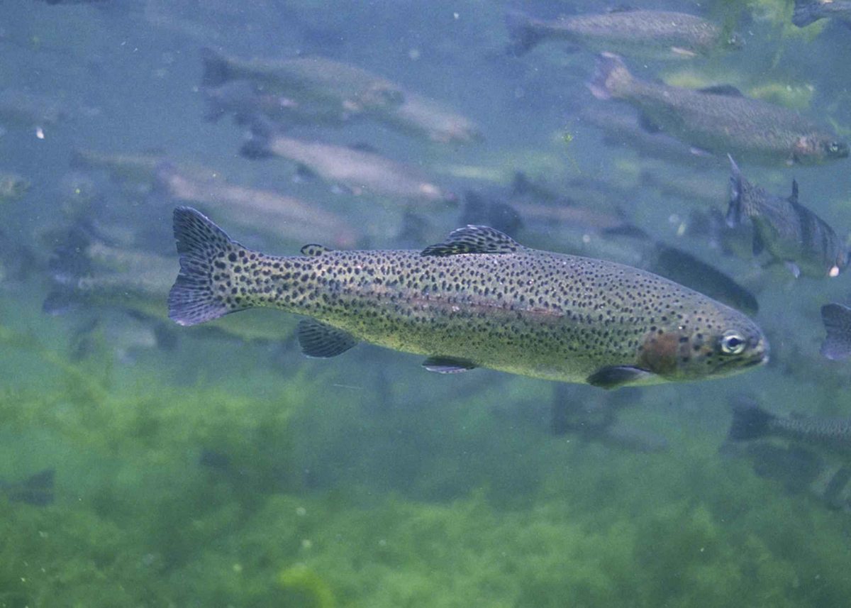
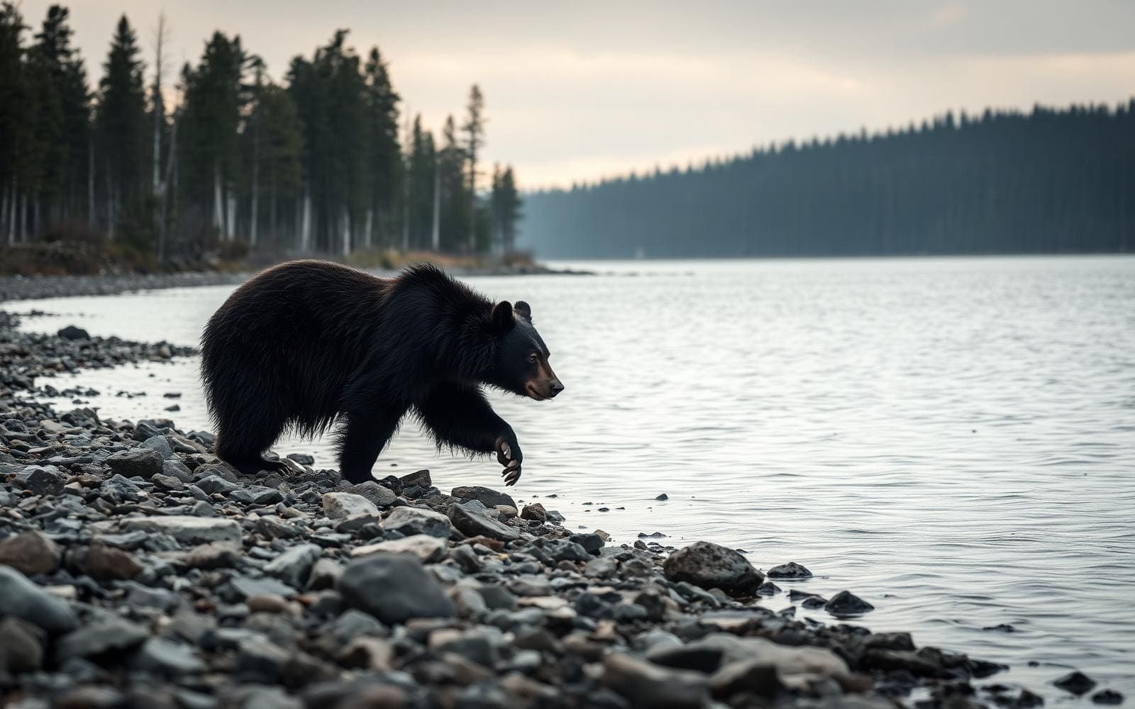
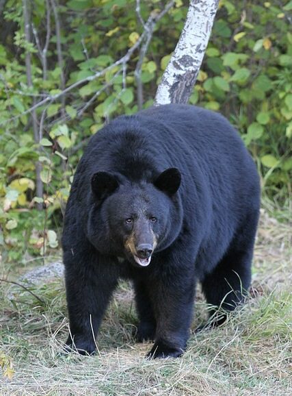
Animals around Mount Riley Wilderness

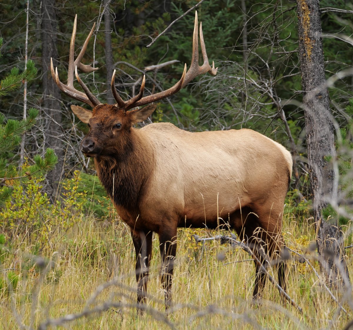
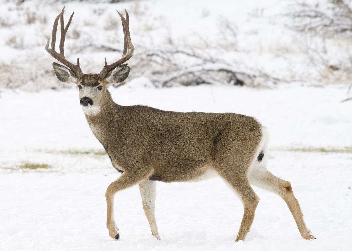
Volcanic peaks above the desert
Mount Riley Wilderness protects 8,382 acres in southern New Mexico, approximately 30 miles southwest of Las Cruces. Part of Organ Mountains–Desert Peaks National Monument, it occupies the eastern end of the West Potrillo Mountains near the East Potrillo Mountains. Three volcanic peaks rise prominently above the surrounding Chihuahuan Desert plain, with grasses and shrubs covering much of the lower country. Mount Riley reaches 5,905 feet; Cox Peak reaches 5,930 feet. The main hiking draw is the contrast between the open desert below and the broad, 360-degree views available from the summits. This is not a developed summit-trail destination: there are no maintained trails to the tops. Plan around that distinction rather than expecting signed routes or a prescribed hiking circuit.
Hiking without maintained summit trails
A summit outing here requires independent navigation rather than simply following a maintained path. Choose an objective that matches the group's off-trail experience, carry a map and navigation backup, and keep enough time and energy for the return. The volcanic relief makes elevation change an important consideration even when a summit looks close across the open plain. Desert grasses and shrubs provide little dependable shelter from sun or weather, so carry drinking water and sun protection rather than planning around natural supplies. Depressions in lava flows can hold extra moisture after rain, but that does not make them reliable drinking-water sources. For current access guidance and questions about a planned outing, contact the Bureau of Land Management's Las Cruces District Office.
Desert vegetation and wildlife
The landscape supports more variety than its open profile first suggests. Chihuahuan Desert grassland and yucca mix with creosote, acacia, and mesquite. In the lava flows, deeper soil pockets and depressions that retain moisture after rainfall support isolated clumps of netleaf hackberry and other desert trees. Occasional junipers grow on mountain slopes and in larger drainages. Raptors are common, especially in winter: golden eagles, great-horned owls, and Swainson's hawks nest here, and peregrine falcons have been reported. Pronghorn, mule deer, quail, and jackrabbits also use the area. Ephemeral ponds sometimes attract migrating ducks. Bring binoculars if wildlife watching is part of the trip, observe nesting birds from a distance, and avoid approaching animals gathered around temporary water.
Route options
- Mount Riley summit objective
A self-planned summit hike to Mount Riley, elevation 5,905 feet. There is no maintained summit trail; select an approach using a map and independent navigation. Summit views extend across the surrounding desert.
- Cox Peak summit objective
Cox Peak, elevation 5,930 feet, offers another summit objective within the wilderness. This is not a marked route description: no maintained summit trail is identified, so establish the approach and return plan before setting out.
Sample itineraries
- Mount Riley summit day · 1 day
Plan an off-trail summit hike on Mount Riley for broad desert views. Approach the wilderness boundary via County Road 007, confirming a suitable entry location with BLM beforehand. There are no maintained summit trails; choose terrain within the group's navigation skills and turn back if the route becomes uncertain.
- Desert grassland and raptor day · 1 day
Spend a day exploring lower terrain on foot, focusing on Chihuahuan Desert grasses, yucca, and volcanic landforms rather than a summit. Carry binoculars for raptors, especially in winter. Use a boundary map to plan access from County Road 007; no specific trailhead is identified.
Seasonal conditions
Spring
Spring
Plan for exposed desert walking through grassland and shrubs. Check the forecast before choosing a summit objective, carry all needed water, and bring layers for changes in temperature.
Summer
Summer
Treat heat and sun exposure as major planning concerns in this southern New Mexico desert setting. Favor cooler hours, shorten objectives when needed, and do not count on ephemeral ponds for drinking water.
Fall
Fall
Let current weather determine whether to attempt a summit or stay on lower terrain. Sparse desert vegetation offers limited shelter; retain sun protection, water reserves, and a warm layer.
Winter
Winter
Raptors are especially common during winter. Bring binoculars and insulating layers for stops in exposed terrain. Check current weather rather than assuming the southern desert will be warm throughout the day.
| Season | Window | Conditions |
|---|---|---|
| Spring | Spring | Plan for exposed desert walking through grassland and shrubs. Check the forecast before choosing a summit objective, carry all needed water, and bring layers for changes in temperature. |
| Summer | Summer | Treat heat and sun exposure as major planning concerns in this southern New Mexico desert setting. Favor cooler hours, shorten objectives when needed, and do not count on ephemeral ponds for drinking water. |
| Fall | Fall | Let current weather determine whether to attempt a summit or stay on lower terrain. Sparse desert vegetation offers limited shelter; retain sun protection, water reserves, and a warm layer. |
| Winter | Winter | Raptors are especially common during winter. Bring binoculars and insulating layers for stops in exposed terrain. Check current weather rather than assuming the southern desert will be warm throughout the day. |
Permits, fees & closures
Confirm permit requirements and current visit rules with the BLM Las Cruces District Office at 575-525-4300.
Official source: Mount Riley Wilderness Area - New Mexico | Bureau of Land Management · Verified November 2, 2026
Hazards & regulations
- No maintained trails lead to the summits. Off-trail navigation and a clear return plan are essential.
- Volcanic slopes and lava-flow terrain require careful footing; avoid committing to ground beyond the group's ability.
- Open desert grassland and shrub cover provide limited shade. Plan conservatively for sun exposure and heat.
- Ephemeral ponds and rainfall-dependent water pockets are not dependable drinking-water sources. Carry the water needed for the entire outing.
What to pack for Mount Riley Wilderness
- Wilderness boundary map
- Offline navigation with backup power
- Compass and the skills to use it
- Water for the full outing plus a reserve
- Sun hat and sunscreen
- Food and first-aid kit
- Insulating layer appropriate to the forecast
- Sturdy footwear for volcanic terrain
- Trekking poles
- Binoculars
- Headlamp
Mount Riley Wilderness FAQ
- Where is Mount Riley Wilderness?
- It lies in southern New Mexico, approximately 30 miles southwest of Las Cruces, within Organ Mountains-Desert Peaks National Monument. BLM manages this landscape of three prominent volcanic landforms and Chihuahuan Desert vegetation.
- How do you reach the wilderness boundary?
- From I-10 exit 8, take TX 178/Artcraft Road, which becomes NM 136, to NM 9/Columbus Road. Travel west about 24 miles to County Road 005, then north approximately 4.5 miles to County Road 007. Turn right; this road follows the wilderness boundary for approximately 6 miles.
- Are there maintained hiking trails?
- There are no maintained trails to the summits. Summit outings require off-trail route selection and navigation. County Road 007 is a boundary road, not a designated summit trail.
- How long can visitors stay?
- The stay limit is 14 days. Confirm current camping requirements and suitable access with the BLM Las Cruces District Office before planning an overnight visit.
- Can bicycles or motor vehicles enter the wilderness?
- Motorized equipment and mechanical transport, including bicycles, are generally prohibited in wilderness. Plan to explore on foot and confirm boundary details before leaving the access road.
- What vegetation should visitors expect?
- Desert grasses, yucca, creosote, acacia, and mesquite dominate. Netleaf hackberry and other desert trees occur in isolated lava-flow pockets that retain moisture after rainfall. Occasional junipers grow on slopes and in larger drainages.