



- Region
- AZ, USA
- Country
- United States
- Best for
- hiking
- Best season
- Spring, Summer
- Permits
- Ordinary wilderness visits require no perm…
- Managed by
- Bureau of Land Management, Kingman Field Office; 928-718-3700; BLM_AZ_KFOWEB@blm.gov
Plan with verified data
Mount Tipton Wilderness trip tools
Tools for a trip here
Picked for how, when and where you're going. Free, no signup.
Photos of Mount Tipton Wilderness
How to get there
Mount Tipton Wilderness lies 25 miles north of Kingman in northwestern Arizona. Access approaches branch from Highway 93: Pierce Ferry Road at milepost 42 serves Antelope Canyon and Indian Springs, Marble Canyon access begins at milepost 48, and Big Wash Road begins at milepost 51. High clearance is required for all these approaches; four-wheel drive is recommended except on Big Wash Road.
- Antelope Canyon Access
From Highway 93 at milepost 42, turn east onto Pierce Ferry Road and continue through Dolan Springs to 19th Street. Turn right and go 0.6 miles, right onto Ocotillo Drive for 1.0 mile, left onto 17th Street for 0.2 miles, and right onto Orchid Street for 0.5 miles. Turn left onto unsigned 16th Street for one block, then right onto Palm Street for 0.5 miles to the wilderness boundary. A jeep trail continues south along the boundary for another 1.5 miles to parking and the interpretive loop outside the wilderness.
- Indian Springs Access
Turn east from Highway 93 at milepost 42 onto Pierce Ferry Road. After 1.5 miles toward Dolan Springs, turn right onto 5th Street and follow it about 4.5 miles to a fence. Turn left along the fence for about 0.1 mile, then right through the gate. Follow the jeep road 0.8 mile to parking.
- Marble Canyon Access
At Highway 93 milepost 48, pass through the east-side gate onto a jeep trail. Bypass the corral and water tank, then follow the wire fence for about 0.7 miles. Pass through the fence gate and continue another 2 miles, bearing right at an obscure fork, then pass through another gate. After another 0.25 mile, take the left fork and continue 0.5 mile to the wilderness. Choose parking along the road carefully: wilderness lies on both sides, 30 feet off the road.
- Big Wash Road Access
At Highway 93 milepost 51, turn east onto maintained dirt Big Wash Road and continue about 4.5 miles, where the wilderness will be on the left. Choose roadside parking without creating a traffic hazard. High clearance is required, though this approach is the exception to the four-wheel-drive recommendation.
Sources: blm.gov · University of Montana / federal agency partners · Wilderness Connect / federal wilderness boundary inventory · Wikipedia. Confirm road and trailhead conditions with the managing agency before you leave.
AZ, USA · United States
- Climbing
- Mountaineering
- Winter Camping
- Skiing
- Desert Hiking
- Canyoneering
- Hiking
- Backpacking
Northern Cerbat Mountains
Mount Tipton Wilderness covers 30,760 acres in Mohave County, about 25 miles north of Kingman, Arizona. It includes the entire northern half of the Cerbat Mountains, with terrain rising from about 3,300 feet to the 7,148-foot summit of Mount Tipton. The peak dominates the skyline, but the Cerbat Pinnacles are the area's most distinctive rock formation: rows of maroon, tusk-like spires north of and below the mountain, rising above open desert valleys. Deep washes, descending ridges, small valleys, and bowls divide the interior. Higher slopes support piñon pine, shrub live oak, manzanita, bear grass, and desert ceanothus, with gray and red granite outcrops breaking the ridgelines. This is a place for hiking, backpacking, horseback riding, and photography in rugged terrain rather than a destination built around a developed trail network.
Choosing an Outing
Most travel through the wilderness follows sand washes, with a few old vehicle ways providing hiking routes in some places. The terrain is extremely rugged and topographically complex, so choose an objective that matches both navigation skills and fitness. Climbing Mount Tipton is physically challenging; the rewards include broad views in all directions and a remnant stand of large ponderosa pines below the summit on its northeast side. The Cerbat Pinnacles offer a different focus for photographers and backcountry explorers, with their maroon spires set against open valleys. For a shorter, defined outing, the Antelope Canyon access parking area has a half-mile interpretive loop outside the designated wilderness, suitable for hiking or equestrian use. Do not mistake that short loop for a measure of the difficulty farther into the mountains.
Seasons and Water
October through April generally brings more moderate temperatures, but elevation matters when planning a trip. Winter can be quite cold, and snow is possible on the higher slopes. Summer daytime temperatures often exceed 100 degrees, making strenuous travel in the rugged washes and ridges especially demanding. Carry plenty of water rather than assuming a convenient refill will appear along the way. Water is relatively scarce in this part of the Cerbat Mountains. Springs marked on topographic maps can generally be relied upon, while potholes may hold water after rain but dry quickly. All collected water needs purification. Pack layers appropriate to the difference between the lower desert valleys and the summit, and allow weather and available water to shape the day's objective rather than committing to a summit regardless of conditions.
Access and Wilderness Rules
High clearance is required on all four described access routes. Four-wheel drive is recommended for Antelope Canyon, Indian Springs, and Marble Canyon; Big Wash Road is the exception to that recommendation, not to the clearance requirement. Keep vehicles outside the designated wilderness, where motorized equipment and mechanical transport, including bicycles, are generally prohibited. Some lands around and within the wilderness are not federally administered, so obtain permission before crossing or using those properties. Ordinary visits require no permits, passes, or fees. Commercial, competitive, and large organized group events require a special recreation permit; contact the BLM Kingman Field Office for details. Recreation on nearby Arizona state trust land requires a state permit. Use Leave No Trace practices, and choose roadside parking that does not obstruct traffic or encroach on the wilderness.
Where on earth
Satellite imagery flying in from a world view to Mount Tipton Wilderness, United States. Use the + / − buttons, or click the map to zoom with your scroll wheel; drag to pan and pinch to zoom on touch.
Coordinates
- Decimal degrees
- 35.5426, -114.1941
- Latitude (DMS)
- 35° 32′ 33.3″ N
- Longitude (DMS)
- 114° 11′ 38.8″ W
Coordinates are an access-point reference for Mount Tipton Wilderness, not a route. Carry a paper map and confirm trailhead or put-in access with the managing agency before you go.
Topic summary
This Wilderness contains the entire northern half of the imposing Cerbat Mountains. Although 7,148-foot Mount Tipton dominates the area (the lowest point in the Wilderness being about 3,300 feet), the...
Key takeaways
- Region: AZ, USA
- Country: United States
- Good for: hiking
- Coordinates: 35.543, -114.194
Intended uses
hiking
Keep planning
Popular pursuits at Mount Tipton Wilderness
- Climbing
Rock and alpine lines with approach beta.
- Mountaineering
Glacier and high-route objectives with real consequence.
- Winter Camping
Cold-season travel and camp craft; layering matters more than mileage.
- Skiing
Ski-touring access when the road closes for the season.
- Desert Hiking
Water carries and heat management drive the plan.
- Canyoneering
Narrows, downclimbs, and flash-flood timing.
Animals around Mount Tipton Wilderness

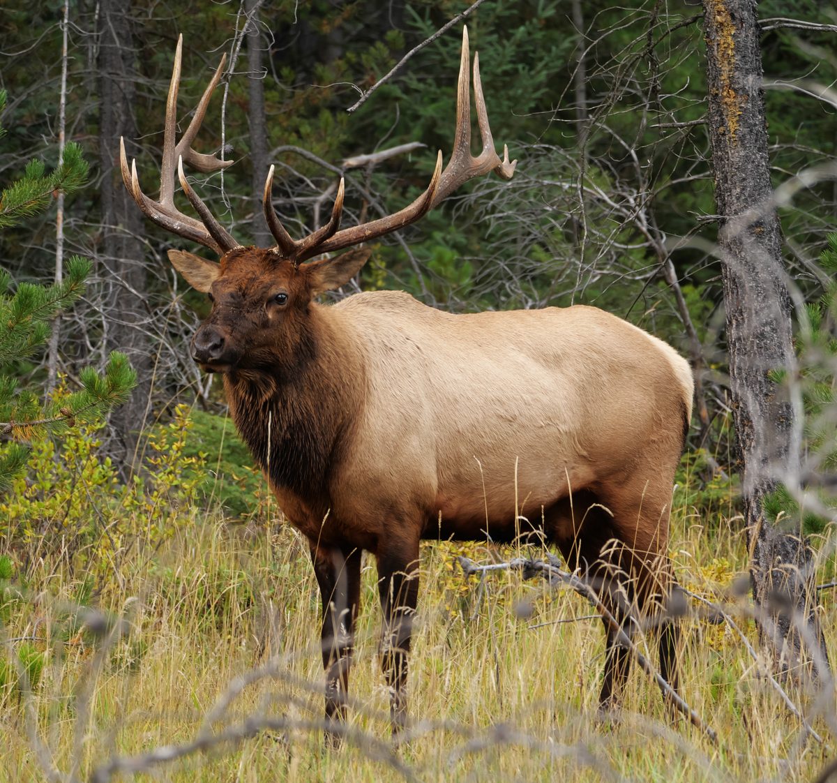
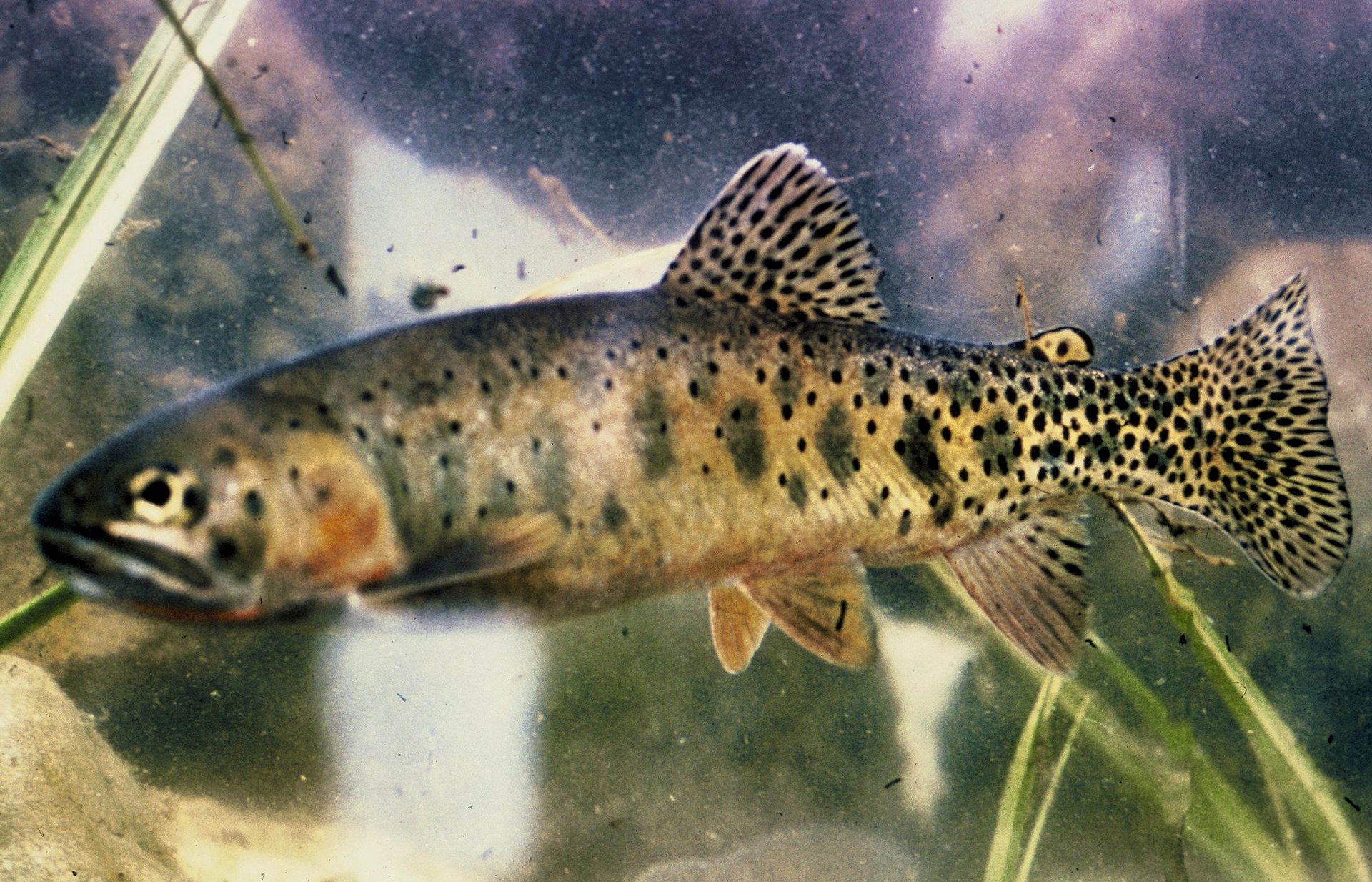

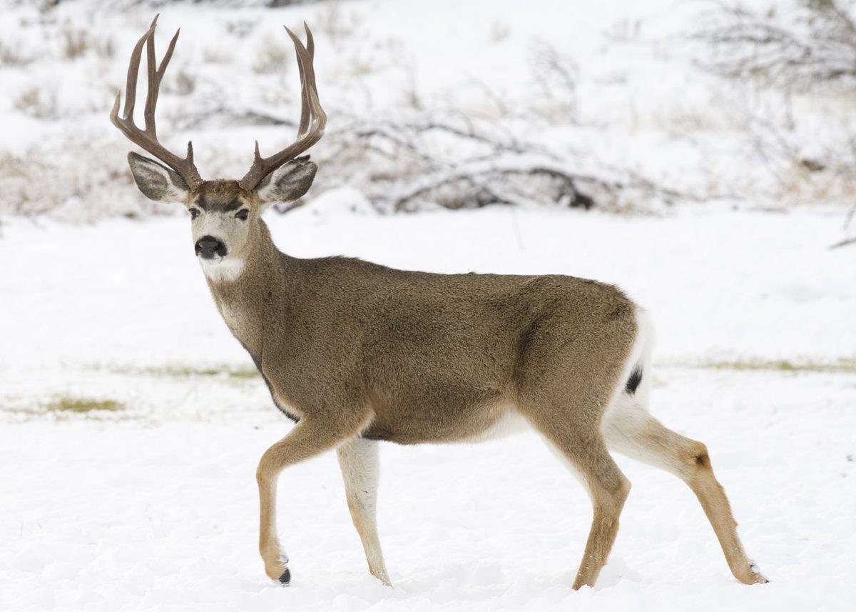
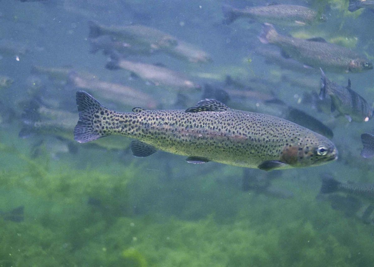
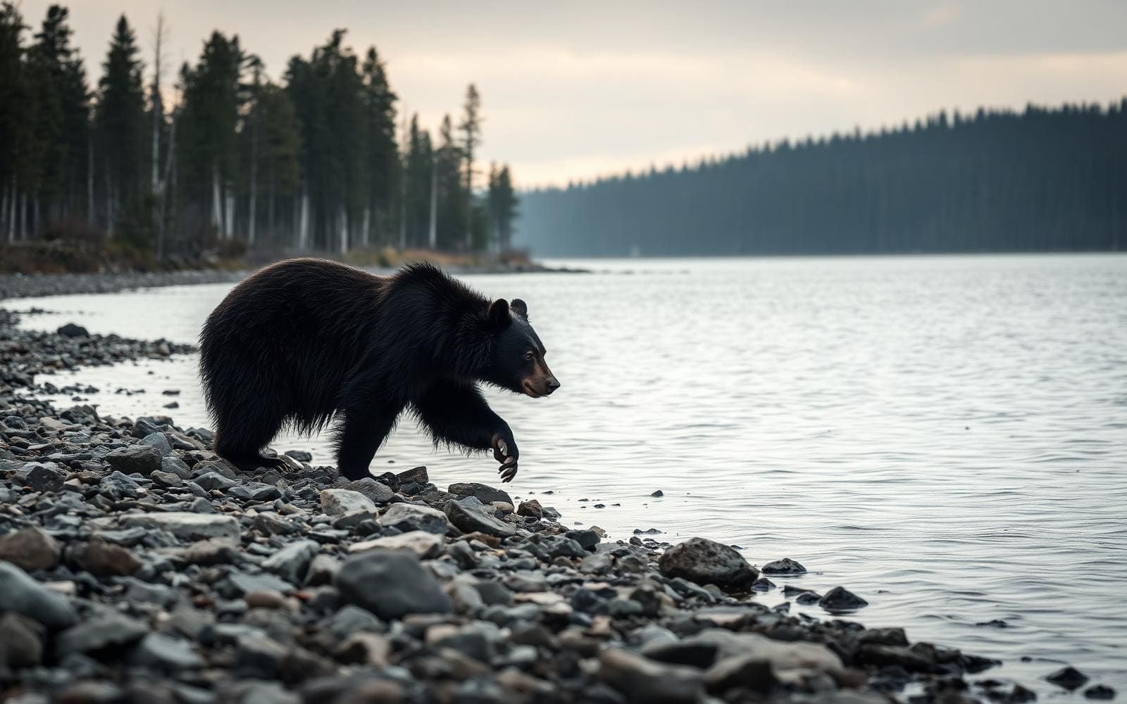
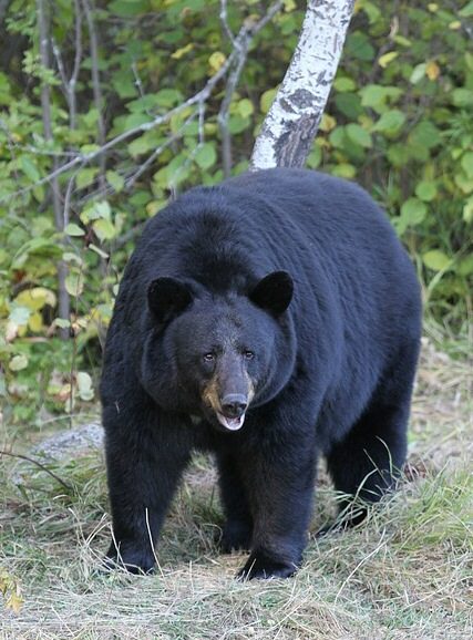
Northern Cerbat Mountains
Mount Tipton Wilderness covers 30,760 acres in Mohave County, about 25 miles north of Kingman, Arizona. It includes the entire northern half of the Cerbat Mountains, with terrain rising from about 3,300 feet to the 7,148-foot summit of Mount Tipton. The peak dominates the skyline, but the Cerbat Pinnacles are the area's most distinctive rock formation: rows of maroon, tusk-like spires north of and below the mountain, rising above open desert valleys. Deep washes, descending ridges, small valleys, and bowls divide the interior. Higher slopes support piñon pine, shrub live oak, manzanita, bear grass, and desert ceanothus, with gray and red granite outcrops breaking the ridgelines. This is a place for hiking, backpacking, horseback riding, and photography in rugged terrain rather than a destination built around a developed trail network.
Choosing an Outing
Most travel through the wilderness follows sand washes, with a few old vehicle ways providing hiking routes in some places. The terrain is extremely rugged and topographically complex, so choose an objective that matches both navigation skills and fitness. Climbing Mount Tipton is physically challenging; the rewards include broad views in all directions and a remnant stand of large ponderosa pines below the summit on its northeast side. The Cerbat Pinnacles offer a different focus for photographers and backcountry explorers, with their maroon spires set against open valleys. For a shorter, defined outing, the Antelope Canyon access parking area has a half-mile interpretive loop outside the designated wilderness, suitable for hiking or equestrian use. Do not mistake that short loop for a measure of the difficulty farther into the mountains.
Seasons and Water
October through April generally brings more moderate temperatures, but elevation matters when planning a trip. Winter can be quite cold, and snow is possible on the higher slopes. Summer daytime temperatures often exceed 100 degrees, making strenuous travel in the rugged washes and ridges especially demanding. Carry plenty of water rather than assuming a convenient refill will appear along the way. Water is relatively scarce in this part of the Cerbat Mountains. Springs marked on topographic maps can generally be relied upon, while potholes may hold water after rain but dry quickly. All collected water needs purification. Pack layers appropriate to the difference between the lower desert valleys and the summit, and allow weather and available water to shape the day's objective rather than committing to a summit regardless of conditions.
Access and Wilderness Rules
High clearance is required on all four described access routes. Four-wheel drive is recommended for Antelope Canyon, Indian Springs, and Marble Canyon; Big Wash Road is the exception to that recommendation, not to the clearance requirement. Keep vehicles outside the designated wilderness, where motorized equipment and mechanical transport, including bicycles, are generally prohibited. Some lands around and within the wilderness are not federally administered, so obtain permission before crossing or using those properties. Ordinary visits require no permits, passes, or fees. Commercial, competitive, and large organized group events require a special recreation permit; contact the BLM Kingman Field Office for details. Recreation on nearby Arizona state trust land requires a state permit. Use Leave No Trace practices, and choose roadside parking that does not obstruct traffic or encroach on the wilderness.
Route options
- Antelope Canyon Access Interpretive Loop0.5-mile loop
A short interpretive loop at the access parking area, outside the designated wilderness. Suitable for hiking or equestrian use.
- Mount Tipton ClimbPhysically challenging
A summit objective reaching 7,148 feet, with views in all directions, including the Pinnacles. A remnant stand of large ponderosa pines lies below the peak to the northeast. Plan this as rugged backcountry travel, not as a signed trail itinerary.
- Sand-Wash ExplorationExtremely rugged terrain
The sand washes dissecting the wilderness are its most commonly used travel routes. A few old vehicle ways also provide hiking options in places. Choose a route suited to navigation skills through the area's ridges, bowls, and valleys; this is not a single defined trail.
Sample itineraries
- Antelope Canyon introduction · 1 day
Use Antelope Canyon Access for the half-mile interpretive loop outside the wilderness boundary. For a longer outing, plan a separate exploration of the wilderness’s sand washes using a topographic map. High clearance and four-wheel drive are recommended for this approach; carry water and set a conservative turnaround.
- Mount Tipton summit objective · 1 day
Experienced hikers can plan a demanding climb toward 7,148-foot Mount Tipton. Expect extremely rugged terrain rather than a continuous maintained trail. The summit offers broad views; a remnant ponderosa pine stand lies below it to the northeast. Choose access and navigation carefully, and turn back if conditions exceed available time or ability.
- Northern Cerbat backpacking exploration · 2 days
Plan an overnight exploration of the washes, ridges, and valleys, with views of the maroon Cerbat Pinnacles as a scenic objective. Select access and a route using wilderness and topographic maps rather than assuming connecting trails. Carry ample water, purify any collected water, and follow Leave No Trace camping practices.
Seasonal conditions
Spring
Spring; moderate-temperature period extends through April
Use the more moderate temperatures for rugged hiking and backpacking. Water remains scarce. Rain-filled potholes can dry quickly, so carry ample water and purify anything collected.
Summer
Summer
Daytime temperatures often exceed 100 degrees. Harsh heat, scarce water, and strenuous terrain make long outings demanding. Favor conservative objectives and avoid committing to a route that depends on temporary pothole water.
Fall
Fall; moderate-temperature period begins in October
October brings the start of the more moderate October–April period. Rugged washes and ridges still require careful navigation and substantial water supplies. Plan layers for changes in temperature with elevation.
Winter
Winter
Conditions can be quite cold, with snow possible at higher elevations. Summit plans require warm layers and flexibility. More moderate regional temperatures do not guarantee mild conditions on Mount Tipton.
| Season | Window | Conditions |
|---|---|---|
| Spring | Spring; moderate-temperature period extends through April | Use the more moderate temperatures for rugged hiking and backpacking. Water remains scarce. Rain-filled potholes can dry quickly, so carry ample water and purify anything collected. |
| Summer | Summer | Daytime temperatures often exceed 100 degrees. Harsh heat, scarce water, and strenuous terrain make long outings demanding. Favor conservative objectives and avoid committing to a route that depends on temporary pothole water. |
| Fall | Fall; moderate-temperature period begins in October | October brings the start of the more moderate October–April period. Rugged washes and ridges still require careful navigation and substantial water supplies. Plan layers for changes in temperature with elevation. |
| Winter | Winter | Conditions can be quite cold, with snow possible at higher elevations. Summit plans require warm layers and flexibility. More moderate regional temperatures do not guarantee mild conditions on Mount Tipton. |
Permits, fees & closures
Ordinary wilderness visits require no permits or passes. Commercial, competitive, and large organized group events require a special recreation permit; contact the BLM Kingman Field Office. Recreation on nearby Arizona state trust land requires a state permit.
Fees: There are no fees to visit Mount Tipton Wilderness.
Official source: Mount Tipton Wilderness - Arizona | Bureau of Land Management · Verified November 2, 2026
Hazards & regulations
- Extremely rugged terrain includes deep washes, descending ridges, and complex valleys. Old vehicle ways provide some hiking routes, but sand washes are the most commonly used routes; do not assume a continuous maintained trail.
- Summer daytime temperatures often exceed 100 degrees. Heat and strenuous travel increase water needs.
- Water is scarce. Mapped springs are generally reliable, but rain-filled potholes can dry quickly. Purify all collected water and carry ample supplies.
- Winter cold and possible high-elevation snow can complicate a Mount Tipton climb.
- Access roads require high clearance. Four-wheel drive is recommended for all described approaches except Big Wash Road.
- Some lands within and around the wilderness are not federally administered. Do not cross or use them without the owners’ permission.
What to pack for Mount Tipton Wilderness
- Ample drinking water and carrying capacity
- Water purification supplies
- Sun hat, sunglasses, and sunscreen
- Topographic map showing springs and terrain
- Wilderness boundary and access map
- Compass or offline navigation device
- Sturdy hiking footwear
- First-aid kit
- Insulating layers appropriate for elevation and season
- Weather-protective outer layer
- Shelter and sleeping system for overnight trips
- Headlamp
Mount Tipton Wilderness FAQ
- Where is Mount Tipton Wilderness?
- It lies in Mohave County, Arizona, 25 miles north of Kingman and includes the northern half of the Cerbat Mountains. The BLM Kingman Field Office manages it.
- Which access options are described?
- Antelope Canyon, Indian Springs, Marble Canyon, and Big Wash Road provide access. All require high clearance; four-wheel drive is recommended except on Big Wash Road. Big Wash Road is a maintained dirt road reached from Highway 93 at milepost 51.
- Are there maintained hiking trails?
- A half-mile interpretive loop sits outside the wilderness at the Antelope Canyon Access parking area. Within the wilderness, a few old vehicle ways provide hiking routes, but sand washes are most commonly used. Expect rugged navigation rather than a developed trail network.
- What are the main scenic features?
- Mount Tipton reaches 7,148 feet. North of and below it, the Cerbat Pinnacles form rows of maroon-colored spires above open valleys. Upper slopes support piñon pine, shrub live oak, and manzanita; large ponderosa pines grow below the peak to the northeast.
- Can visitors ride bikes or drive inside the wilderness?
- Motorized equipment and mechanical transport, including bicycles and OHVs, are generally prohibited within designated wilderness. Hiking, backpacking, horseback riding, photography, and camping are available activities. Keep vehicles outside the wilderness and respect boundary markings.
- Can a trip depend on natural water sources?
- Water is relatively scarce. Springs shown on topographic maps can generally be relied upon, but pothole water after rain may disappear quickly. Carry plenty of water, purify all collected water, and avoid depending solely on temporary sources.