


Where on earth
Satellite imagery flying in from a world view to Spanish Lakes Trail: Spanish Creek Trailhead Route, United States. Use the + / − buttons, or click the map to zoom with your scroll wheel; drag to pan and pinch to zoom on touch.
- Region
- Southwest Montana
- Country
- United States
- Trip length
- 17 to 18 miles round-trip
- Backpacking
- Hiking
- Hunting
- Climbing
- Mountaineering
- Winter Camping
- Skiing
- Surfing
Key takeaways
- Trip length: 17 to 18 miles round-trip
- Top activity: backpacking
Topic summary
A rugged mountain basin route through grizzly habitat in Montana's Madison Range.
Intended uses
backpacking
Verification notes
Last verified October 17, 2026.
Tools for a trip here
Picked for how, when and where you're going. Free, no signup.
- Sleep System Temp CalculatorCold nights: check your bag and pad add up to a safe sleep.
- Base Weight CalculatorEvery ounce is carried — total your kit and find your base weight.
- Pack Volume SizerSize the pack for your trip length and season.
- Water Purification MatrixTreat water from streams and lakes on trail.
- Layering CalculatorCold-season miles: layer for climbs and camp.
Plan with verified data
Spanish Lakes Trail: Spanish Creek Trailhead Route trip tools
How to get there
Spanish Creek Trail No. 407 is approximately 25 miles southwest of Bozeman in the Custer Gallatin National Forest. Begin at the Spanish Creek trailhead only after confirming current access with the Bozeman Ranger District. Obtain road directions and approach conditions from the district before driving.
- Spanish Creek trailhead
Starting point for Spanish Creek Trail No. 407 and the lower boundary of the closure announced in August 2025. Confirm whether access has reopened before using this approach.
- Falls Creek Trail No. 410 junction
Trail junction marking the other end of the Spanish Creek Trail No. 407 segment covered by the August 2025 closure. This is an on-trail reference point, not a confirmed road-access point or alternative entry around restrictions.
Sources: fs.usda.gov · Wikipedia · Wikivoyage. Confirm road and trailhead conditions with the managing agency before you leave.
Popular pursuits at Spanish Lakes Trail: Spanish Creek Trailhead Route
- Backpacking
Multi-day travel with everything on your back — see the packing blocks below.
- Hiking
Day miles on marked trail, with route notes and trail links below.
- Hunting
Seasons, tags, and the units that hold animals.
- Climbing
Rock and alpine lines with approach beta.
- Mountaineering
Glacier and high-route objectives with real consequence.
- Winter Camping
Cold-season travel and camp craft; layering matters more than mileage.
Animals around Spanish Lakes Trail: Spanish Creek Trailhead Route








Maps, GPS & compass for this trip
Carry a waterproof paper map and a compass you can steer by, and treat the GPS as the backup — not the other way round. Buying links go to Amazon; Wild10 earns a commission at no cost to you.
Waterproof topo maps
- Waterproof topographic map — Spanish Lakes Trail: Spanish Creek Trailhead RouteAmazon search for waterproof, tear-resistant topo maps covering this area.
- National Geographic Trails IllustratedThe waterproof Trails Illustrated series — check for a sheet covering this area.
- Waterproof map case & compass lanyardKeep a paper map readable in rain, spray and a swamped boat.
Fishing at Spanish Lakes Trail: Spanish Creek Trailhead Route
Planning to fish Spanish Lakes Trail: Spanish Creek Trailhead Route, Montana? Fishing licenses, open seasons and catch limits in Montana are set by the local wildlife authority and change every year — check the official source before you cast a line.
Do I need a fishing license at Spanish Lakes Trail: Spanish Creek Trailhead Route?
- A Montana fishing license is normally required for anyone over the local youth age.
- Read the current Montana fishing regulations for special waters, barbless-hook or catch-and-release rules.
- Clean, drain and dry boats and gear between waters to stop invasive species.
Hunting near Spanish Lakes Trail: Spanish Creek Trailhead Route
Thinking about hunting Spanish Lakes Trail: Spanish Creek Trailhead Route, Montana? Hunting seasons, tags and draws in Montana are set by the wildlife authority each year. Confirm the rules for your species and unit before you go.
Is hunting allowed at Spanish Lakes Trail: Spanish Creek Trailhead Route?
- Confirm the land around Spanish Lakes Trail: Spanish Creek Trailhead Route is open to hunting and which management unit it falls in.
What do I need to hunt in Montana?
- A Montana hunting license — most jurisdictions also require hunter education certification.
- Species tags or draw results for big game such as deer, elk, moose or bear where they occur.
- Knowledge of firearm and bow transport rules, which differ by land type and border crossing.
Spanish Creek approach
The Spanish Creek trailhead is the starting point for Spanish Creek Trail No. 407 in the Custer Gallatin National Forest, approximately 25 miles southwest of Bozeman. The trail lies within the Bozeman Ranger District and is described by forest officials as heavily used. For a Spanish Lakes trip using this approach, the first planning question is whether the Spanish Creek access is open—not simply how far to hike. The clearly identified approach segment runs from the trailhead to the junction with Falls Creek Trail No. 410. That junction is useful for understanding the closure boundary, but it should not be treated as a complete set of directions to Spanish Lakes. Confirm the onward route and current trail conditions with the district before setting out.
Closure history and current-status checks
A Forest Service announcement dated August 7, 2025, reported a temporary closure of Spanish Creek Trail No. 407, effective August 6, 2025. It covered the trail from the Spanish Creek trailhead to the junction with Falls Creek Trail No. 410 and applied to all public use. The reason was bear attractants close to the heavily used trail, creating a potential for conflict between visitors and bears. The announcement set no reopening date: access was to resume when conditions improved and officials deemed it safe. Do not interpret that historical notice as confirmation of either an ongoing closure or a reopening today. Check current Custer Gallatin National Forest alerts or contact the Bozeman Ranger District before committing to this approach.
Bear-aware planning and backup trails
Bear safety is central to planning this approach. Forest officials closed the affected section to protect visitors and wildlife while working with Montana Fish, Wildlife and Parks to remove the attractant. A closure for that purpose is not an invitation to pass quickly through the area or look for the source of the problem. Respect any posted restrictions, give bears space, and review the forest’s Bear Aware guidance and current food-storage requirements before departure. In the August 2025 announcement, officials identified Cherry Creek Trail No. 401 and Little Hellroaring Creek No. 400 as nearby recreation alternatives that were open at that time. Check their current status separately; neither should be assumed to provide a connecting route to Spanish Lakes.
Route options
- Spanish Creek Trail No. 407 approach
The identified approach runs from the Spanish Creek trailhead to the Falls Creek Trail No. 410 junction. Confirm current closure status and obtain onward navigation details before using it for a Spanish Lakes trip.
- Cherry Creek Trail No. 401
Nearby recreation alternative recommended by forest officials during the August 2025 Spanish Creek closure. Confirm current conditions; it is not identified as an alternative route to Spanish Lakes.
- Little Hellroaring Creek No. 400
Nearby recreation alternative listed as open in the August 2025 closure announcement. Verify present access before departure rather than assuming that historical status still applies.
Sample itineraries
- Spanish Creek Trailhead Day Walk—If Reopened · 1 day
Confirm that Spanish Creek Trail No. 407 has reopened before planning a walk from Spanish Creek trailhead. Choose a turnaround suited to current conditions. Do not assume access to Spanish Lakes is established; confirm the onward route with the Bozeman Ranger District.
- Alternative Trail Day · 1 day
If Spanish Creek remains closed, ask the Bozeman Ranger District about Cherry Creek Trail No. 401 or Little Hellroaring Creek No. 400. Both were identified as open alternatives in August 2025. Confirm present access and route details before choosing either for a day walk.
Seasonal conditions
Spring
Confirm seasonal access locally
Spring trail conditions and access timing are not established here. Ask the Bozeman Ranger District about current footing, weather and the status of Spanish Creek Trail No. 407 before setting a trip date.
Summer
Confirm access before departure
Summer access cannot be assumed. A bear-attractant closure took effect August 6, 2025, between Spanish Creek trailhead and Falls Creek Trail No. 410. Confirm whether it has been lifted.
Fall
Confirm seasonal access locally
No fall access window is established here. The bear-attractant closure had no fixed reopening date; do not assume a change of season means the trail is open.
Winter
Confirm winter suitability locally
Winter access and route suitability are not established here. Obtain current trailhead and trail conditions from the Bozeman Ranger District rather than treating this as a confirmed winter itinerary.
| Season | Window | Conditions |
|---|---|---|
| Spring | Confirm seasonal access locally | Spring trail conditions and access timing are not established here. Ask the Bozeman Ranger District about current footing, weather and the status of Spanish Creek Trail No. 407 before setting a trip date. |
| Summer | Confirm access before departure | Summer access cannot be assumed. A bear-attractant closure took effect August 6, 2025, between Spanish Creek trailhead and Falls Creek Trail No. 410. Confirm whether it has been lifted. |
| Fall | Confirm seasonal access locally | No fall access window is established here. The bear-attractant closure had no fixed reopening date; do not assume a change of season means the trail is open. |
| Winter | Confirm winter suitability locally | Winter access and route suitability are not established here. Obtain current trailhead and trail conditions from the Bozeman Ranger District rather than treating this as a confirmed winter itinerary. |
Permits, fees & closures
Confirm permit requirements and current access restrictions with the Bozeman Ranger District, Custer Gallatin National Forest.
Official source: Spanish Creek Trail #407 Temporarily Closed Due to Bear Attractant · Verified October 17, 2026
Hazards & regulations
- Bear attractants near the heavily used Spanish Creek Trail prompted a public-safety closure. Do not enter a closed section.
- Bear encounters are a concern in this area. Give bears space and review the Forest Service's Bear Aware guidance before visiting.
- An old access update is not confirmation that a trail is open today. The August 2025 closure applied to all public use and depended on conditions improving.
What to pack for Spanish Lakes Trail: Spanish Creek Trailhead Route
- Bear spray carried where it can be reached
- Food and scented-item storage that meets current Forest Service requirements
- Route map and navigation tools
- Drinking water
- Weather-appropriate layers
- First-aid kit
Wildlife you may see
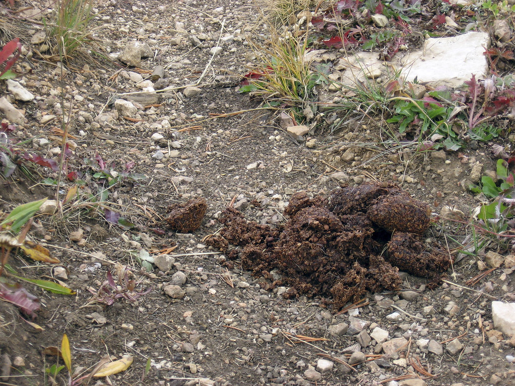
- Bears occur around Spanish Creek Trail. Attractants close to the trail triggered the August 2025 closure; keep food secure and give wildlife space.
Spanish Lakes Trail: Spanish Creek Trailhead Route FAQ
- Where is the Spanish Creek trailhead route?
- Spanish Creek Trail No. 407 is on the Bozeman Ranger District of Custer Gallatin National Forest, approximately 25 miles southwest of Bozeman. That figure describes the trail's location, not its hiking length.
- Is Spanish Creek Trail currently open?
- Current reopening status is not established here. A closure effective August 6, 2025, covered the section from Spanish Creek trailhead to the junction with Falls Creek Trail No. 410. Confirm its status with the managing agency before travel.
- Why was the trail closed?
- Bear attractants were present close to the heavily used trail. The closure was intended to reduce conflict, protect visitors and give bears space while officials worked to remove the attractant.
- How far is the hike to Spanish Lakes?
- A verified hiking distance and complete onward route to Spanish Lakes are not established here. Obtain those details from the Bozeman Ranger District before planning a lakes trip or overnight itinerary.
- What alternatives were identified during the closure?
- Cherry Creek Trail No. 401 and Little Hellroaring Creek No. 400 were identified as open alternatives in August 2025. Check their current status before heading out.
- Where can current conditions be checked?
- Check Custer Gallatin National Forest alerts or contact the Bozeman Ranger District. The Custer Gallatin National Forest Supervisor's Office can also be reached at 406-587-6701.