



- Region
- Yukon and Interior Alaska
- Country
- Canada and United States
- Best for
- hiking, camping, photography
- Best season
- Spring, Summer
- Permits
- No entrance pass or registration is requir…
- Managed by
- National Park Service (for Yukon-Charley Rivers National Preserve)
Plan with verified data
Yukon River corridor trip tools
Tools for a trip here
Picked for how, when and where you're going. Free, no signup.
- Sleep System Temp CalculatorCold nights: check your bag and pad add up to a safe sleep.
- Bear Country Food StorageBear country: canister, Ursack or hang, and the local rules.
- The 10 EssentialsDay on trail: carry the ten essentials.
- Water Purification MatrixRefilling on trail: compare treatment options.
- Layering CalculatorCool temps: build a layer stack for the climb and the summit.
How to get there
Access to the broader Yukon River corridor in Alaska and Yukon can be challenging due to its remote nature. Skagway, Alaska, on the Taiya Inlet, is a port city that was historically significant as an access point during the Klondike Gold Rush. While not directly on the Yukon River, it serves as a gateway to the region. The White Pass and Yukon Route narrow gauge railroad operates from Skagway during summer months, catering to tourism. For the Yukon-Charley Rivers National Preserve, general access typically involves bush planes, boats, or winter trails, as most of the preserve is roadless. It is crucial to plan logistics carefully for remote access.
- Skagway, Alaska
A significant saltwater port during the Klondike Gold Rush, located on the Taiya Inlet. It serves as a starting point for the White Pass and Yukon Route railway and is a popular stop for cruise ships. This community is a gateway to the broader region.
Sources: nps.gov · Wikipedia · Wikivoyage. Confirm road and trailhead conditions with the managing agency before you leave.
Yukon and Interior Alaska · Canada and United States
- Canoeing
- Kayaking
- Hiking
- Fishing
- Photography
Overview
Multi-week paddle expeditions through history and true wilderness.
Planning notes
Good for: Hiking, Camping, Photography Featured on: Top 10 Outdoor Adventure Locations (#3) Access point: Yukon River
Check current permits, closures and fire restrictions with the managing agency before you commit to dates.
Where on earth
Satellite imagery flying in from a world view to Yukon River corridor, Canada and United States. Use the + / − buttons, or click the map to zoom with your scroll wheel; drag to pan and pinch to zoom on touch.
Coordinates
- Decimal degrees
- 63.5783, -149.6313
- Latitude (DMS)
- 63° 34′ 41.8″ N
- Longitude (DMS)
- 149° 37′ 52.7″ W
Coordinates are an access-point reference for Yukon River corridor, not a route. Carry a paper map and confirm trailhead or put-in access with the managing agency before you go.
Topic summary
Multi-week paddle expeditions through history and true wilderness.
Key takeaways
- Region: Yukon and Interior Alaska
- Country: Canada and United States
- Good for: hiking, camping, photography
- Coordinates: 63.578, -149.631
Intended uses
- hiking
- camping
- photography
Keep planning
Popular pursuits at Yukon River corridor
- Canoeing
Paddle routes, portages, and put-ins.
- Kayaking
Sheltered and open-water paddling lines.
- Hiking
Day miles on marked trail, with route notes and trail links below.
- Fishing
Resident gamefish, seasons, and the water that holds them.
- Photography
Vantage points and the hours worth setting an alarm for.
Animals around Yukon River corridor

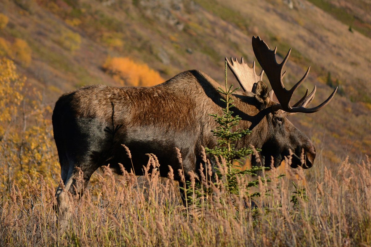
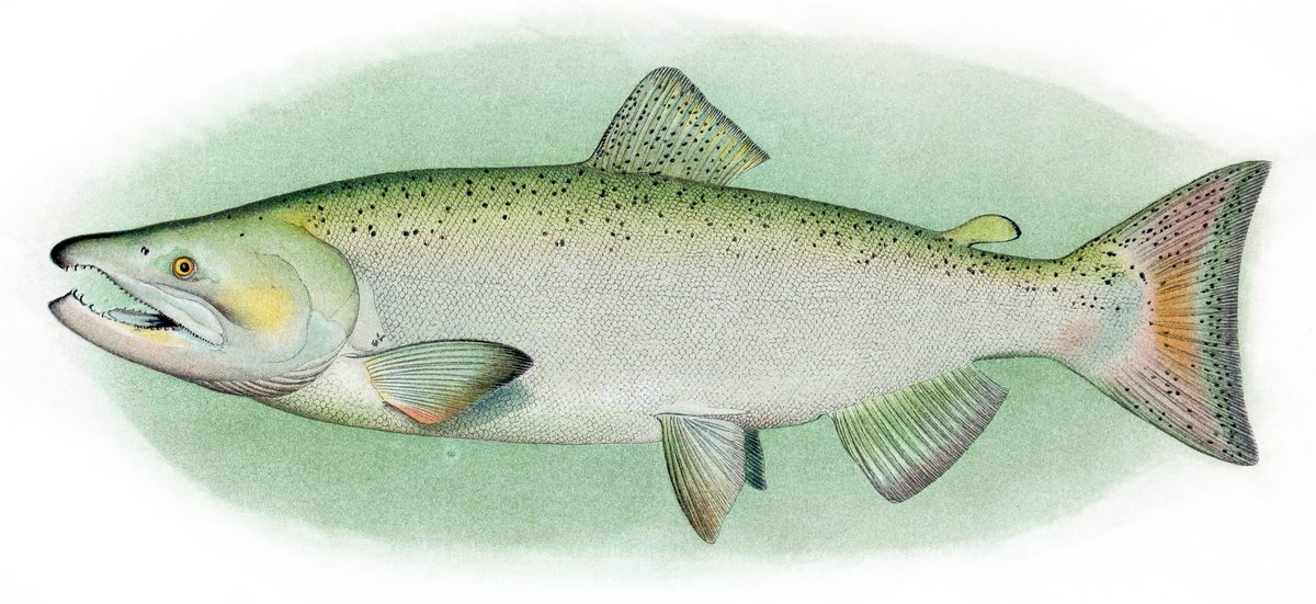

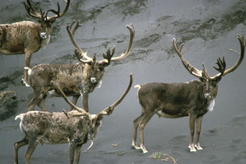
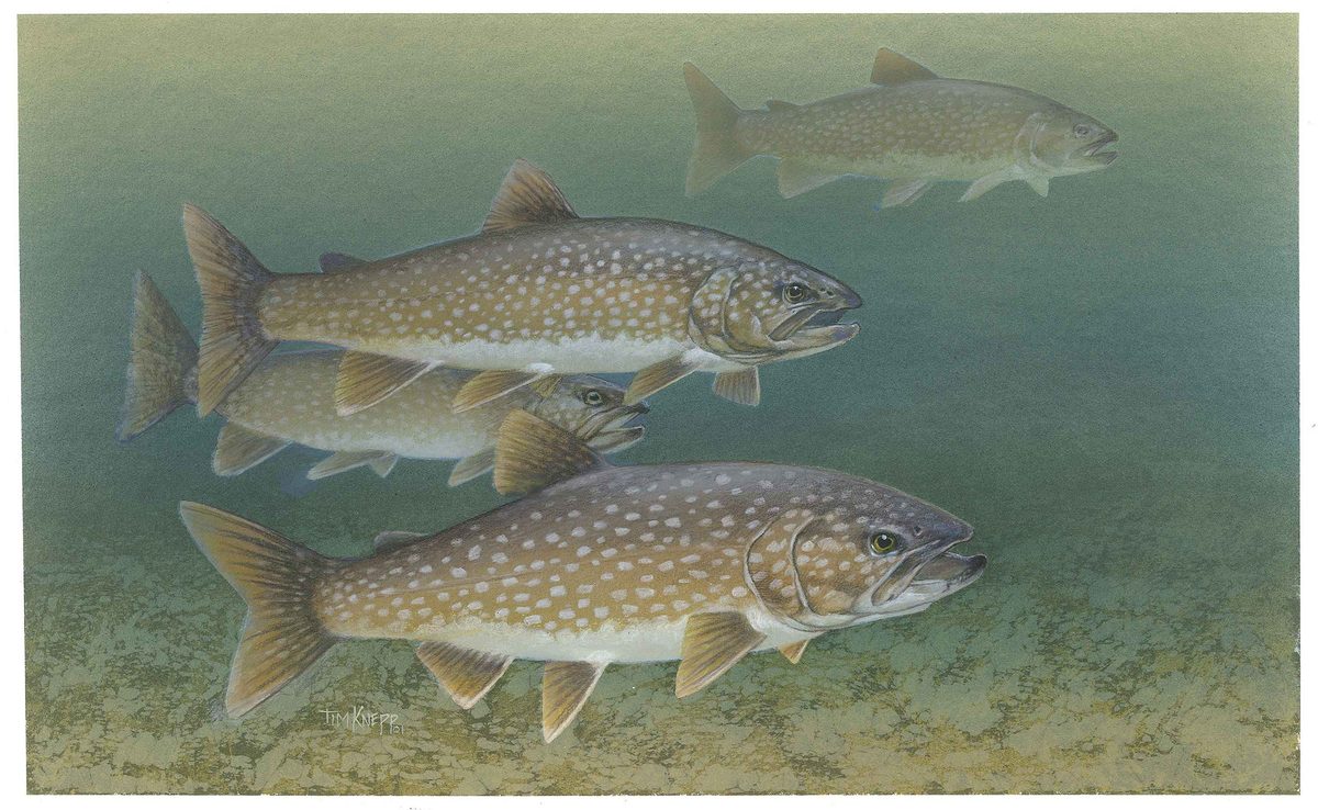

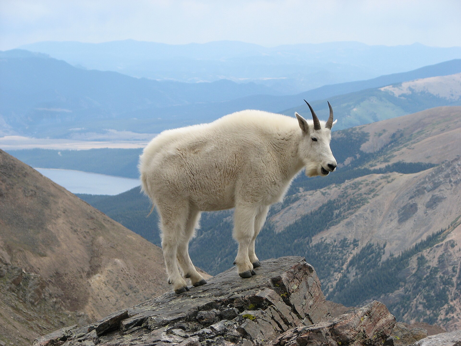
The Yukon River Corridor: A Wilderness Journey
The Yukon River corridor spans parts of both the Yukon Territory in Canada and Interior Alaska in the United States, offering a remote and rugged wilderness experience. This vast region is defined by the mighty Yukon River, a historical artery for exploration and trade, particularly during the Klondike Gold Rush. While the climate is harsh and much of the area is sparsely populated, the scenery is incredible, featuring immense forests and expansive tundra. Visitors can expect an immersive outdoor adventure in a challenging environment. The U.S. portion includes areas like the Yukon-Charley Rivers National Preserve, which provides access to significant historical sites and pristine natural landscapes along the river. The region is known for its dramatic seasonal changes, from long summer days to cold, dark winters, shaping the wildlife and human activities within this frontier landscape. Much of the experience centers on self-sufficiency and an appreciation for vast, untouched wilderness.
Yukon-Charley Rivers National Preserve
Within the U.S. portion of the Yukon River corridor lies the Yukon-Charley Rivers National Preserve. This preserve protects the natural and cultural resources of the Yukon River and Charley River basins. It offers a glimpse into the region's past, notably its role in the Klondike Gold Rush, and preserves significant ecosystems. The preserve is characterized by its wild rivers, remote landscapes, and opportunities for solitude. There are no entrance fees or registration required to access this specific preserve, making it an accessible wilderness destination for independent adventurers. Public use cabins are available on a free, first-come, first-served basis, providing rustic shelter for those exploring the backcountry. Planning a trip here requires an understanding of its remote nature and the need for self-reliance.
Historical Significance and Natural Beauty
The Yukon River corridor holds deep historical significance, particularly as a route for prospectors during the Klondike Gold Rush. Sites like Skagway, while distinct from the immediate river corridor, served as crucial access points, with the White Pass and Yukon Route railroad still operating for tourists today. The natural landscape of the corridor is equally compelling, featuring some of North America's highest mountain peaks in the broader Alaska region, vast forests, and frozen tundra. This diverse terrain supports a variety of wildlife adapted to the northern environment. The interplay between human history and the formidable natural world defines the character of this destination, inviting exploration of both its heritage and its untouched wilderness.
Seasonal conditions
Spring
Varies
Transition period with snowmelt and rising river levels. Ice breakup on rivers can be a dynamic event. Conditions can be unpredictable with a mix of thawing and freezing temperatures.
Summer
Varies
The most accessible season, characterized by long daylight hours. River travel is common. Tourist activity increases in gateway towns like Skagway. Insects, particularly mosquitoes, can be prevalent.
Fall
Varies
Cooler temperatures, fall foliage, and diminishing daylight. Hunting season typically begins. Preparation for winter conditions is essential. River levels may begin to drop, and ice can form in late fall.
Winter
Varies
Extremely cold temperatures, short daylight hours, and heavy snow cover. Rivers are frozen, enabling travel by snowmachine or dog sled. This season is suitable for experienced cold-weather adventurers only. Much of the state is in the Arctic, making winter travel particularly harsh.
| Season | Window | Conditions |
|---|---|---|
| Spring | Varies | Transition period with snowmelt and rising river levels. Ice breakup on rivers can be a dynamic event. Conditions can be unpredictable with a mix of thawing and freezing temperatures. |
| Summer | Varies | The most accessible season, characterized by long daylight hours. River travel is common. Tourist activity increases in gateway towns like Skagway. Insects, particularly mosquitoes, can be prevalent. |
| Fall | Varies | Cooler temperatures, fall foliage, and diminishing daylight. Hunting season typically begins. Preparation for winter conditions is essential. River levels may begin to drop, and ice can form in late fall. |
| Winter | Varies | Extremely cold temperatures, short daylight hours, and heavy snow cover. Rivers are frozen, enabling travel by snowmachine or dog sled. This season is suitable for experienced cold-weather adventurers only. Much of the state is in the Arctic, making winter travel particularly harsh. |
Permits, fees & closures
No entrance pass or registration is required to access Yukon-Charley Rivers National Preserve. For group travel (nonprofit, educational, commercial, guided), contact the park several months before travel dates for specific permit requirements and group size limits. Public use cabins are available on a free, first-come, first-served basis.
Fees: No entrance fees are required for Yukon-Charley Rivers National Preserve.
Official source: Fees & Passes - Yukon - Charley Rivers National Preserve (U.S. ... · Verified September 17, 2026
Hazards & regulations
- Harsh climate with extreme temperatures (especially in winter)
- Remote and isolated terrain with limited services
- Wildlife encounters (bears, moose, etc.)
- Rapidly changing weather conditions
- River hazards including strong currents and ice during freeze/thaw
- Mosquitoes and other biting insects, particularly in summer
What to pack for Yukon River corridor
- Topographic maps
- GPS device
- Satellite communication device (e.g., satellite phone, InReach)
- First-aid kit
- Bear spray
- Four-season tent (if applicable)
- Appropriate sleeping bag for expected temperatures
- Insulated sleeping pad
- Layered clothing system (base, mid, outer layers)
- Waterproof and windproof outer shell
- Life vest (PFD)
- Dry bags
- Repair kit for raft/canoe
Yukon River corridor FAQ
- Are there any entrance fees for Yukon-Charley Rivers National Preserve?
- No, there are no entrance fees or passes required to access Yukon-Charley Rivers National Preserve.
- Are public use cabins available in the preserve?
- Yes, public use cabins are available within Yukon-Charley Rivers National Preserve on a free, first-come, first-served basis. They cannot be reserved.
- What should groups do if they plan to visit?
- Groups (nonprofit, educational, commercial, guided) should contact the park several months before their travel dates to inquire about permit requirements and group size limits.
- When are the free entrance days for National Parks?
- The National Park Service typically offers free admission on specific dates, including Presidents Day (February 16), Memorial Day (May 25), Flag Day (June 14), Independence Day weekend (July 3–5), the 110th Birthday of the National Park Service (August 25), Constitution Day (September 17), Theodore Roosevelt's birthday (October 27), and Veterans Day (November 11). These dates apply to parks that normally charge an entrance fee, which does not include Yukon-Charley Rivers National Preserve.
- What kind of climate can be expected in Alaska?
- Alaska is characterized by a harsh climate. Much of the state is in the Arctic, with very cold winters, and the region contains vast forests and frozen tundra.