



- Region
- Yukon
- Country
- Canada
- Best for
- canoeing, kayaking, camping
- Best season
- Spring, Summer
- Permits
- Confirm permit, camping and access require…
Plan with verified data
Yukon River: Whitehorse to Dawson City trip tools
Tools for a trip here
Picked for how, when and where you're going. Free, no signup.
- Water Purification MatrixLake water needs treating — compare filters, chemicals and boiling.
- Layering CalculatorCold water: dress for immersion, not just the air temperature.
- Sleep System Temp CalculatorCold nights: check your bag and pad add up to a safe sleep.
- Bear Country Food StorageBear country: canister, Ursack or hang, and the local rules.
- The 10 EssentialsBackcountry safety basics, printable.
Photos of Yukon River: Whitehorse to Dawson City
How to get there
Plan arrival and onward transport around Whitehorse and Dawson City. Confirm exact launching and landing locations before arranging a vehicle transfer; no specific road approach, shuttle service, or drive time is established here.
- Whitehorse
Named starting endpoint for this destination. Confirm the exact river launch location and access arrangements before transporting boats.
- Dawson City
Named finishing endpoint for this destination. Confirm the exact landing location and onward transport before departure.
Sources: nps.gov · Wikipedia · Wikivoyage · Wikipedia. Confirm road and trailhead conditions with the managing agency before you leave.
Yukon · Canada · Season: Ice-free summer; the Yukon River Quest race runs in late June
- Canoeing
- Kayaking
- Rafting
- Sea Kayaking
- Beachcombing
- Fishing
Overview
The Yukon River from Whitehorse to Dawson City follows the route stampeders used during the Klondike Gold Rush. Paddlers cross Lake Laberge, then run the Thirty Mile, a section from the lake to the Teslin River that is a Canadian Heritage River and part of Klondike Gold Rush International Historical Park. The full distance is about 715 km, the same course used by the Yukon River Quest, billed as the world's longest annual canoe and kayak race.
Planning
Most recreational paddlers take a couple of weeks for the full trip; race teams do it in days. Lake Laberge can get rough in wind, so plan to hug the shore. Five Finger Rapids, downstream of Carmacks, is passable on the right-hand channel but should be scouted or checked with local outfitters. Many paddlers rent canoes and arrange return transport from Whitehorse. Check Travel Yukon and Parks Canada for current camping and safety information before you go.
Where on earth
Satellite imagery flying in from a world view to Yukon River: Whitehorse to Dawson City, Canada. Use the + / − buttons, or click the map to zoom with your scroll wheel; drag to pan and pinch to zoom on touch.
Coordinates
- Decimal degrees
- 62.0880, -136.2900
- Latitude (DMS)
- 62° 5′ 16.8″ N
- Longitude (DMS)
- 136° 17′ 24.0″ W
Coordinates are an access-point reference for Yukon River: Whitehorse to Dawson City, not a route. Carry a paper map and confirm trailhead or put-in access with the managing agency before you go.
Topic summary
A classic northern river trip: about 715 km of the Yukon River from Whitehorse to Dawson City, through Lake Laberge and the Thirty Mile.
Key takeaways
- Region: Yukon
- Country: Canada
- Best season: Ice-free summer; the Yukon River Quest race runs in late June
- Good for: canoeing, kayaking, camping, fishing
- Coordinates: 62.088, -136.290
Intended uses
- canoeing
- kayaking
- camping
- fishing
Climate suitability
Ice-free summer; the Yukon River Quest race runs in late June
Keep planning
Popular pursuits at Yukon River: Whitehorse to Dawson City
- Canoeing
Paddle routes, portages, and put-ins.
- Kayaking
Sheltered and open-water paddling lines.
- Rafting
Whitewater sections and the flows that make them run.
- Sea Kayaking
Coastal crossings, tides, and protected camps.
- Beachcombing
Tide-line walking between camps.
- Fishing
Resident gamefish, seasons, and the water that holds them.
Animals around Yukon River: Whitehorse to Dawson City





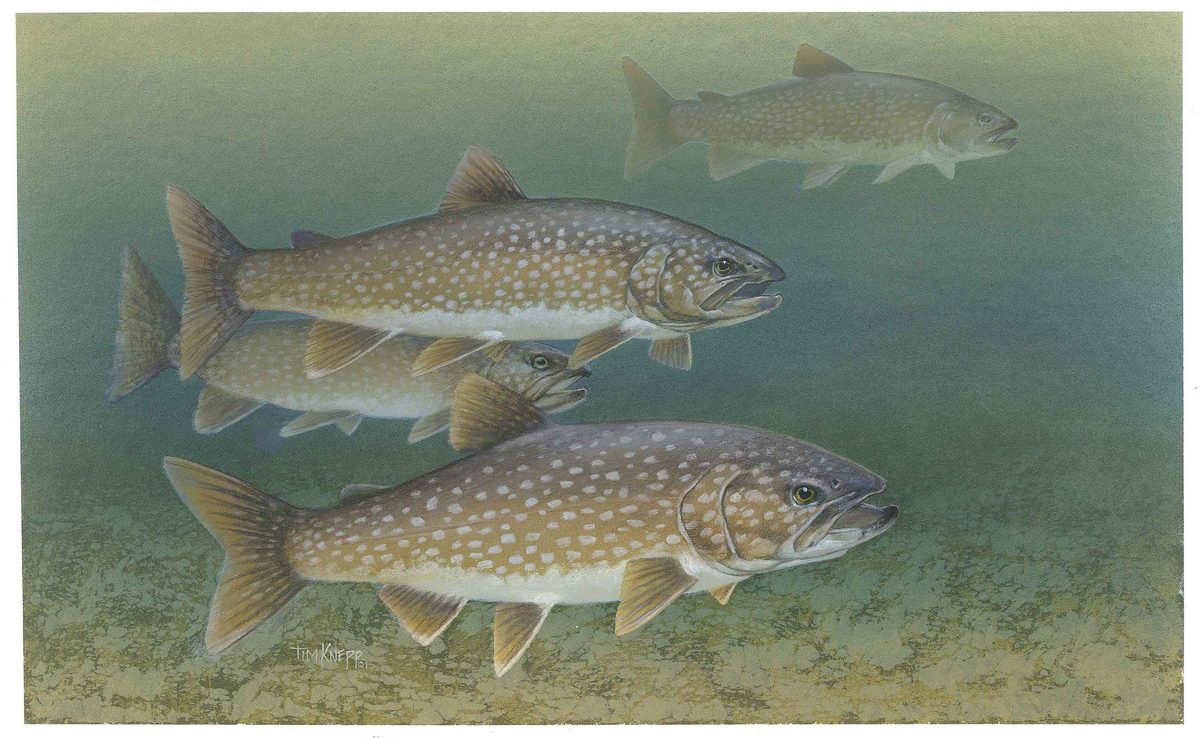


A Yukon river trip with two named endpoints
This destination follows the Yukon River trip concept from Whitehorse to Dawson City, in Canada's westernmost northern territory. Yukon is a large, sparsely populated region, so the useful starting point is a complete travel plan rather than a list of presumed river services. Treat Whitehorse and Dawson City as the trip's named endpoints, not as verified boat launches or landing sites. Before committing to an itinerary, establish the exact river access locations, the suitability of the route for the party, and transport arrangements at both ends. A destination name alone does not establish paddling distance, travel time, or difficulty. Those details need to be settled before choosing daily stages, supplies, or a return journey.
Season and preparation
Yukon's seasons create sharply different travel conditions: summer brings very long, warm days, while winter brings very short, extremely cold days. That broad contrast is useful for initial planning, but it does not establish a safe boating season for the Whitehorse to Dawson City journey. Choose travel dates only after checking current conditions and obtaining advice specific to the intended river itinerary. Long daylight should not become a reason to plan beyond the group's endurance or leave no margin for delays. Pack for changing weather, protect essential equipment from water, and make drinking-water arrangements before departure. A realistic plan also needs a way to communicate and a clear response if the group cannot maintain its intended schedule.
Access, permissions, and trip scope
Keep administrative checks tied to the actual Whitehorse to Dawson City itinerary. Rules for another protected area should not be treated as permission to launch, camp, or travel along this route. Confirm requirements with the managing agency before departure, including any arrangements relevant to the chosen access sites and overnight stops. The Alaska Highway is a major travel corridor for visitors travelling through Yukon toward Alaska, but that regional context does not establish a shuttle connection or river access point for this trip. Confirm road transport separately from the paddling plan. If considering a guided journey, verify the operator's itinerary, included transport, equipment, and contingency arrangements rather than assuming that every trip uses the same endpoints or services.
Route options
- Whitehorse to Dawson City — independent planning
Use the full named journey as the planning scope. An independent departure requires a verified river itinerary, access sites, overnight arrangements, and a contingency plan; this is not a confirmed navigation guide.
- Whitehorse to Dawson City — guided-trip enquiry
For the same named journey, investigate whether a suitable guided itinerary is available. Confirm its actual start and finish, river stages, transport, and support before booking; no operator or guided departure is identified here.
Sample itineraries
- Whitehorse preparation day · 1 day
Use a planning day in Whitehorse to confirm river conditions, access, equipment and onward logistics for Dawson City. This is a preparation outline, not a paddling stage or an estimate of the full journey.
- Whitehorse to Dawson City logistics review · 1 day
Set aside a separate planning day to verify the route, identify suitable stopping points with local advice and arrange arrival logistics in Dawson City. Establish paddling stages and contingency time before committing to a departure.
Seasonal conditions
Spring
Confirm locally before choosing dates
Do not assume the river is ready for travel based on the season alone. Confirm river conditions, usable access and an appropriate departure date locally.
Summer
Summer; exact paddling window requires confirmation
Yukon summers have extremely long, warm days. Plan sun protection and regular rest rather than treating all available daylight as paddling time. Regional summer conditions do not establish whether this route is suitable on a particular day.
Fall
Confirm locally before choosing dates
Confirm current weather, daylight and river conditions before setting a schedule. A reliable fall paddling window cannot be specified here.
Winter
Winter; no paddling window established
Yukon winters have extremely short, extremely cold days. Do not treat a summer river itinerary as a winter travel plan.
| Season | Window | Conditions |
|---|---|---|
| Spring | Confirm locally before choosing dates | Do not assume the river is ready for travel based on the season alone. Confirm river conditions, usable access and an appropriate departure date locally. |
| Summer | Summer; exact paddling window requires confirmation | Yukon summers have extremely long, warm days. Plan sun protection and regular rest rather than treating all available daylight as paddling time. Regional summer conditions do not establish whether this route is suitable on a particular day. |
| Fall | Confirm locally before choosing dates | Confirm current weather, daylight and river conditions before setting a schedule. A reliable fall paddling window cannot be specified here. |
| Winter | Winter; no paddling window established | Yukon winters have extremely short, extremely cold days. Do not treat a summer river itinerary as a winter travel plan. |
Permits, fees & closures
Confirm permit, camping and access requirements for the Canadian Whitehorse–Dawson City route with the relevant managing agencies.
Official source: Permits & Reservations - Yukon - Charley Rivers National Preserve ... · Verified October 22, 2026
Hazards & regulations
- Extreme winter cold makes inadequate clothing and shelter a serious risk.
- Extremely short winter days sharply limit daylight available for outdoor travel.
- Long, warm summer days can encourage overlong travel days; manage sun exposure, hydration and fatigue.
What to pack for Yukon River: Whitehorse to Dawson City
- Insulating layers appropriate to the forecast
- Weatherproof outer layers
- Shelter suited to expected temperatures
- Sun hat
- Sunscreen
- Sunglasses
- Drinking-water containers
- Verified route and access information
- Written travel and contingency plan
- Headlamp and spare power
Yukon River: Whitehorse to Dawson City FAQ
- How many days does the Whitehorse–Dawson City trip take?
- A reliable paddling duration is not established here. Confirm route length, daily stages, stopping options and contingency time locally. The one-day outlines above are planning sessions, not river-trip durations.
- Do Yukon–Charley Rivers National Preserve rules cover this trip?
- Do not apply that preserve's entry, cabin or reservation rules to the Canadian Whitehorse–Dawson City route. Confirm requirements with the agencies responsible for the actual journey.
- What is summer like in Yukon?
- Summer brings extremely long, warm days. Those regional characteristics help with general packing, but they do not establish river conditions or a safe departure window.
- Where should the trip launch, stop and finish?
- Specific launch sites, campsites and take-out points are not established here. Verify legal, usable access and suitable overnight stops before finalizing transport or a paddling schedule.
- What should the trip budget allow for?
- Exploring Yukon can be expensive. Obtain current transport, equipment and supply quotes before committing to the journey; no route-specific costs are established here.