



Beyond Alone · Best: late Jun – early Sep
Icelandic Highlands (Laugavegur)
Rhyolite mountains, geothermal streams, and lava fields on the Laugavegur trek.
Where on earth
Satellite imagery flying in from a world view to Icelandic Highlands (Laugavegur), Iceland. Use the + / − buttons, or click the map to zoom with your scroll wheel; drag to pan and pinch to zoom on touch.
- Region
- Iceland
- Biome
- Sub-arctic volcanic highlands
- Desert Hiking
- Canyoneering
- Hiking
- Winter Camping
- Wildlife Viewing
- Canoeing
- Fishing
Key takeaways
- Biome: Sub-arctic volcanic highlands
- Biome
- Sub-arctic volcanic highlands
- Elevation
- 400 – 1,100 m
- Best window
- Late Jun – early Sep
- Key draws
- Laugavegur (54 km), Fimmvörðuháls extension
- Watch for
- Ford crossings, storm windows
Topic summary
Rhyolite mountains, geothermal streams, and lava fields on the Laugavegur trek. Iceland's central highlands are treeless volcanic desert — rhyolite mountains, active geothermal areas, black-sand plains, and glaciers on the horizon. The Laugavegur strings 54 km from Landmannalaugar to Þórsmörk throug
Key takeaways
- Biome: Sub-arctic volcanic highlands
- Elevation: 400 – 1,100 m
- Best window: Late Jun – early Sep
- Key draws: Laugavegur (54 km), Fimmvörðuháls extension
- Watch for: Ford crossings, storm windows
Intended uses
Wilderness trip planning and destination research
Climate suitability
Sub-arctic volcanic highlands
Verification notes
Compiled from published show records, regional agencies, and topographical / satellite imagery. Region: Iceland. Coordinates: 63.980, -19.060.
The country
Iceland's central highlands are treeless volcanic desert — rhyolite mountains, active geothermal areas, black-sand plains, and glaciers on the horizon. The Laugavegur strings 54 km from Landmannalaugar to Þórsmörk through the heart of it.
Why enthusiasts come
The single-best 4-day trek in the North Atlantic. Highland huts run by Ferðafélag Íslands support the route; camping is allowed at hut sites only.
Planner-relevant notes
Bring dedicated ford footwear — bridges are minimal. Weather windows shut for 24-hour stretches; huts fill on release day months out.
Top experiences
The Laugavegur Trek (55 km, 3–5 days) from Landmannalaugar to Þórsmörk is the flagship. The Fimmvörðuháls extension adds the Eyjafjallajökull volcanic zone. Askja and the Kverkfjöll caldera routes are more remote alternatives.
Planning essentials
Huts (Ferðafélag Íslands) book on release day in Feb for the July–Aug season. F-roads (highland tracks) require 4WD with proper river-crossing skill; buses are the sensible option. Weather can produce hypothermia even in July.
Field notes
- Fords are safest at morning low flow; wait out afternoon melt.
- Storms roll in from the south coast in under an hour — watch the sky.
- The Fimmvörðuháls extension over the volcano adds a punishing but iconic day.
- River crossings on the Laugavegur are cold and calf-deep — waterproof camp shoes save time.
- Wind kills tents at Emstrur — pick sheltered pitches, over-stake everything.
Frequently asked about Icelandic Highlands (Laugavegur)
- Where is Icelandic Highlands (Laugavegur)?
- Icelandic Highlands (Laugavegur) is in Iceland. Rhyolite mountains, geothermal streams, and lava fields on the Laugavegur trek.
- What is the climate like at Icelandic Highlands (Laugavegur)?
- Sub-arctic volcanic highlands. Iceland's central highlands are treeless volcanic desert — rhyolite mountains, active geothermal areas, black-sand plains, and glaciers on the horizon. The Laugavegur strings 54 km from Landmannalaugar to Þórsmörk throug
Build a ten for Icelandic Highlands (Laugavegur)
Assemble your own 10-item Alone loadout tuned to this biome — cold, wet, and food strategy already scoped.
Open the builderShelter that suits this terrain
Browse shelter builds and site-selection guides matched to conditions like the ones here.
Wildlife
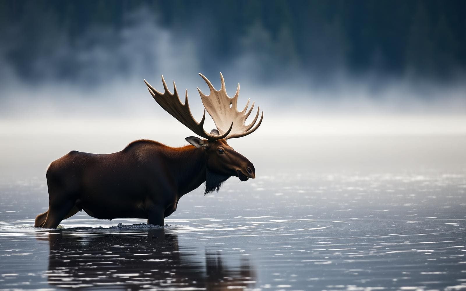
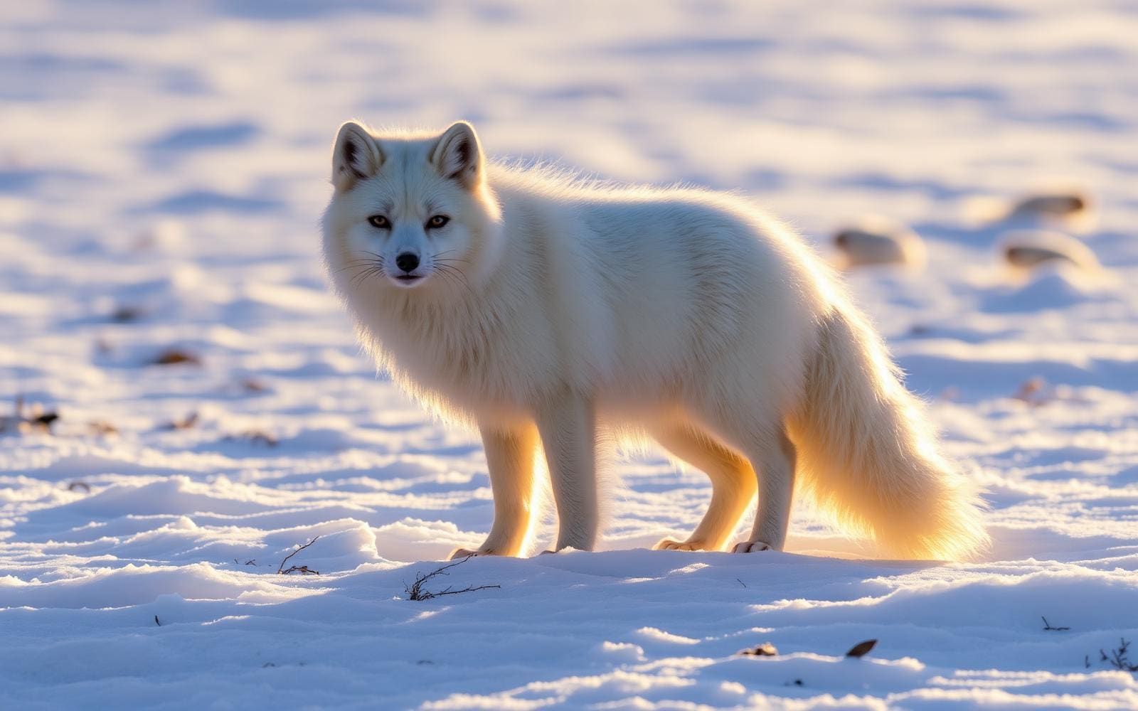
Wildlife found around Icelandic Highlands (Laugavegur)





The gear behind what you just read
Ranked lists for the exact categories that decide a season.
- Top 10 Winter JacketsDown parkas, synthetic belay pieces, and heavy wool coats for real cold.See the ranking
- Top 10 Merino Wool Base LayersNext-to-skin wool that works in real cold, real heat, and days between washes.See the ranking
- Top 10 Three-Season Sleeping BagsDown and synthetic bags that cover the honest 20°F–40°F working range.See the ranking
- Top 10 Winter Camping LocationsCold-country trips built around snow, ice, and quiet skies.See the ranking
- Best Cold-Weather HatsWool watch caps, ushankas, and windproof beanies for real winter.See the ranking