


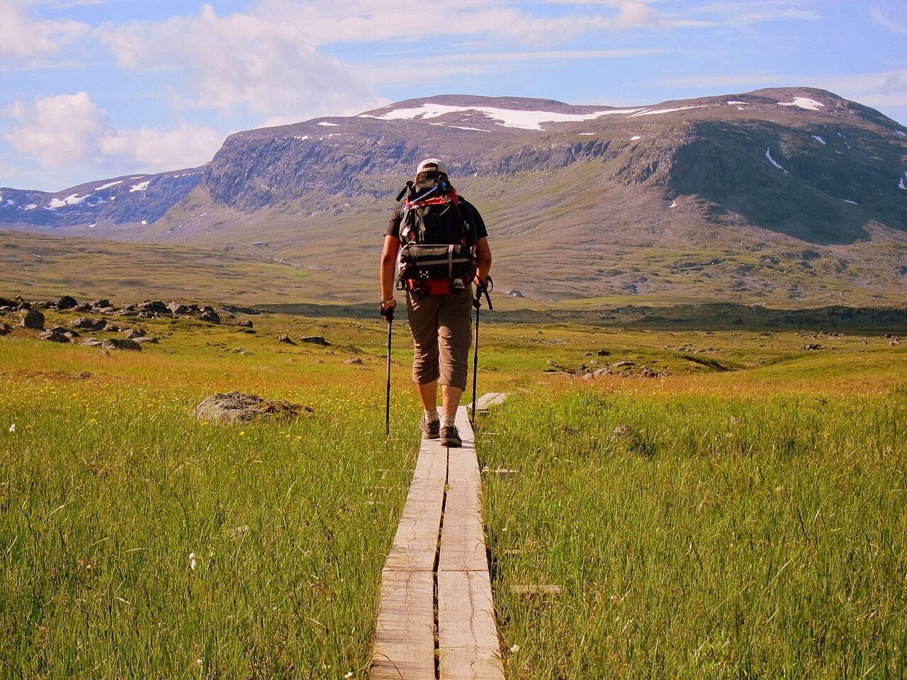
Kungsleden (The King's Trail)
440 km through Swedish Lapland — the classic Scandinavian long trail.
Where on earth
Satellite imagery flying in from a world view to Kungsleden (The King's Trail), Worldwide. Use the + / − buttons, or click the map to zoom with your scroll wheel; drag to pan and pinch to zoom on touch.
- Region
- Swedish Lapland, Sweden
- Country
- Worldwide
- Biome
- Arctic tundra (400–1,200 m)
- Best season
- July – September
- Difficulty
- moderate
- Backpacking
- Hiking
- Climbing
- Winter Camping
- Wildlife Viewing
- Canoeing
- Fishing
Key takeaways
- Biome: Arctic tundra (400–1,200 m)
- Best season: July – September
- Difficulty: moderate
- Top activity: backpacking
Topic summary
440 km through Swedish Lapland — the classic Scandinavian long trail.
Key takeaways
- Difficulty: moderate
- Best season: July – September
Intended uses
backpacking
Climate suitability
Arctic tundra (400–1,200 m)
Verification notes
Last verified January 1, 1970.
Plan with verified data
Kungsleden (The King's Trail) trip tools
Popular pursuits at Kungsleden (The King's Trail)
- Backpacking
Multi-day travel with everything on your back — see the packing blocks below.
- Hiking
Day miles on marked trail, with route notes and trail links below.
- Winter Camping
Cold-season travel and camp craft; layering matters more than mileage.
- Wildlife Viewing
Best light, best season, and where animals move.
Animals around Kungsleden (The King's Trail)
 Wildlife guideTimber wolfCanis lupus
 Wildlife guideCanada lynxLynx canadensis
 Wildlife guideWolverineGulo gulo
 Wildlife guideWoodland caribouRangifer tarandus caribou
 Wildlife guideNorth American beaverCastor canadensis
 Wildlife guidePolar bearUrsus maritimus
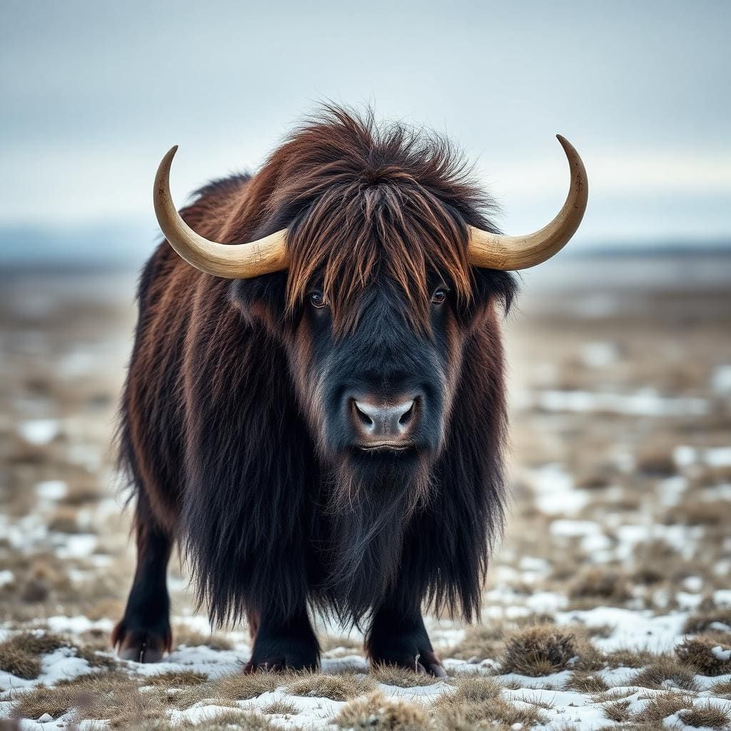 Wildlife guideMuskoxOvibos moschatus
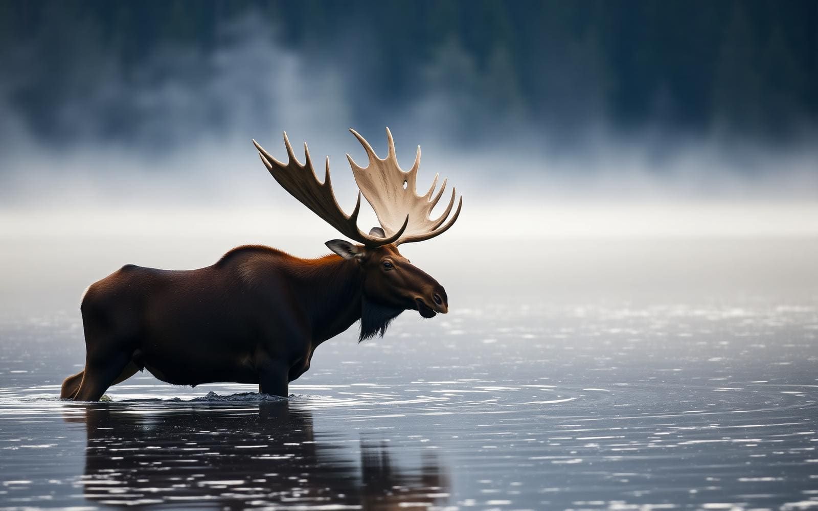 Wildlife guideMooseAlces alces
Featured in these Top 10 lists
- Top 10 Backpacking Trips — ranked #4
Browse every destination we cover in the Destination Hub.
The King's Trail
Kungsleden, or "The King's Trail," is a renowned long-distance hiking route traversing northern Sweden. This trail stretches approximately 450 to 467 kilometers (280 to 290 miles) from its northern terminus in Abisko to its southern end in Hemavan. Established by the Swedish Tourist Association (STF) in the early 20th century, Kungsleden passes through the heart of Swedish Lapland, including parts of Sápmi, the traditional land of the Sámi people. The trail offers an immersive experience in one of Europe's last great wilderness areas, showcasing diverse landscapes and rich cultural heritage. Hikers encounter a variety of terrain, from open fell country to birch forests and high mountain passes, making it a demanding yet rewarding journey through the Swedish outdoors.
Geographic Context
The King's Trail is situated in the Lapland region of northern Sweden, a vast and sparsely populated area known for its pristine natural beauty. The route extends across the Laponia area, which is recognized as the largest wilderness region within the European Union. Notable natural features along the trail include the Vindelfjällen Nature Reserve, located near the southern end, which is one of Europe's most extensive protected areas. This reserve is characterized by its alpine and subalpine ecosystems, home to unique flora and fauna. The trail's journey through this northern landscape provides a continuous connection with nature, far from urban development and noise.
Trail Breakdown
The Kungsleden trail is not a continuous foot path throughout its entire length. The approximately 467-kilometer total distance is broken down into distinct sections. The majority of the journey, about 419.3 kilometers, consists of trekking trails suitable for hiking. Additionally, approximately 18.2 kilometers of the route involves lake crossings, requiring either self-paddling boats or ferry services, depending on the specific location and time of year. A 29.5-kilometer stretch near the southern end is a road segment, which most hikers cover by utilizing bus services to bypass this section and continue their wilderness journey. This varied composition means hikers should be prepared for different modes of travel.
Winter Exploration
While primarily known as a summer hiking trail, Kungsleden also functions as a ski trail during the winter months. The winter route follows approximately the same general path as the summer hiking trail, offering a different but equally compelling wilderness experience. Ski touring on Kungsleden presents a unique opportunity to explore the snow-covered landscapes of Swedish Lapland, often characterized by deep snow, frozen lakes, and dramatic winter light. Those planning a winter trip should be prepared for Arctic conditions, including extreme cold, short daylight hours, and potential whiteout conditions. Specific winter safety knowledge and appropriate gear are essential for a successful journey.
Getting to Kungsleden (The King's Trail)
The trail stretches from Abisko in the north to Hemavan in the south, both accessible by public transport.
- Abisko
The northern terminus of Kungsleden.
- Hemavan
The southern terminus of Kungsleden.
Seasonal conditions
| Season | Window | Conditions |
|---|---|---|
| Spring | Varies by elevation and latitude | Snowmelt can make trails wet and muddy. River crossings may be high. Some sections may still be snow-covered. |
| Summer | Typically June to September | Ideal for hiking with long daylight hours. Potential for insects, especially mosquitoes. Weather can be variable, ranging from warm and sunny to cold and wet. |
| Fall | Typically late August to October | Cooler temperatures, often spectacular autumn colors. Fewer insects. Increased chance of early snow, particularly at higher elevations. |
| Winter | Typically December to April | Cold temperatures, deep snow. Trail is used for skiing. Short daylight hours. Requires specific winter gear and experience. |
Permits, fees & closures
Confirm permit and fee requirements with the managing agency, the Swedish Tourist Association (STF), or local authorities prior to your trip.
Confirm current permits, fees, and closures with the managing agency before you go.
Hazards & regulations
- Remote wilderness environment
- Variable weather conditions (sudden changes in temperature, precipitation)
- Lake crossings (potential for strong winds, difficult paddling)
- Insect infestations (mosquitoes during summer)
- River crossings (high water levels during snowmelt or heavy rain)
- Navigation challenges in adverse weather or unmarked sections
What to pack for Kungsleden (The King's Trail)
- Map
- Compass
- Tent or access to huts
- Waterproof and windproof outerwear
- Warm layers
- Sufficient food supplies for the duration
- Water filter or purification tablets