


Backpacking Trips · #4
Kungsleden ('King's Trail')
Swedish Lapland

Reader rating
Rate it and you move it. Community ratings re-rank this product inside its Top 10 list.
Expert-picked, reader-ranked. Our editors choose the products and the launch order; member star ratings move picks up or down over time.
440 km through Arctic Sweden, with STF huts. Extremely accessible wilderness for its remoteness.
Pros
- Well-maintained trail with clear markings, reducing navigation stress
- STF hut system offers comfortable shelter and resupply points
- Stunning Arctic wilderness scenery, vast and unspolied
- Accessible by public transport to key trailheads
- Option for section hiking to suit different timeframes and fitness levels
Cons
- Can be crowded in peak season, especially northern sections
- Weather is highly unpredictable and can change rapidly
- Costly if relying heavily on huts and resupply services
- Mosquitoes and midges can be a serious nuisance in summer
Best uses
- Long-distance trekking
- Arctic wilderness immersion
- First-time hut-to-hut hiking
- Summer backpacking
Specifications
- Location
- Swedish Lapland, Arctic Circle
- Length
- Approx. 440 km (270 miles)
- Terrain
- Alpine tundra, birch forest, mountain passes
- Huts
- STF (Swedish Tourist Association) network
- Best Season
- July to early September (hiking)
- Wildlife
- Reindeer, moose, wolverines (rare), Arctic birds
- Permits
- Not required for general hiking
Best for
Long-distance trekking, Arctic wilderness immersion, First-time hut-to-hut hiking, Summer backpacking
The Kungsleden, or 'King's Trail,' carves a path through some of Europe's last great wilderness, stretching approximately 440 kilometers across Swedish Lapland. This isn't your average backcountry ramble; it's a well-established, well-maintained long-distance trail that offers an unparalleled immersion into the Arctic environment. From the low-lying birch forests to the high-alpine tundras, the landscape is in constant flux, shaped by the ancient forces of glaciation and the persistent demands of a harsh climate. While undeniably remote, the trail's infrastructure, particularly the network of Swedish Tourist Association (STF) huts, makes it surprisingly accessible for adventurers of varying experience levels. This blend of raw wilderness and pragmatic support is a key part of its enduring appeal, drawing hikers from across the globe seeking a taste of the Arctic without necessarily committing to full-on expeditionary travel. What sets the Kungsleden apart is its ability to deliver a genuine sense of solitude and natural grandeur, even with its relative popularity. The vastness of the landscape often swallows up other hikers, allowing for moments of profound quiet. The trail navigates through several national parks, including Abisko and Sarek, showcasing the region's diverse ecosystems. It's a journey that demands respect for the environment and an understanding of its unique challenges, from unpredictable weather to river crossings. However, for those prepared to embrace these elements, the Kungsleden offers a deeply rewarding experience, a true king's walk through an untamed northern kingdom.
Geography and Terrain
The Kungsleden traverses a wide range of Arctic and sub-Arctic landscapes. Starting in the north, near Abisko, hikers encounter dramatic mountain scenery and deep valleys. As the trail progresses south, the terrain generally mellows, passing through vast birch forests, open fells, and across numerous rivers and streams. The trail is well-trodden, often a clear path, but segments can be rocky, boggy, or feature boardwalks over wet ground. Several major river crossings are managed by rowboats provided by STF, adding a unique logistical element. The highest point is Tjäktja Pass at 1,150 meters, and while not technically demanding, the exposure to weather at these elevations requires vigilance. Expect significant elevation changes, particularly in the northern sections, balanced by long, flat stretches through valleys further south.
Best Season and Weather
The prime window for hiking the Kungsleden is typically from mid-July to early September. Before July, snowmelt can make many sections impassable and river crossings hazardous. After early September, the weather becomes increasingly unstable, with a higher likelihood of freezing temperatures, heavy rain, or early snow. Even during the peak season, Arctic weather is notoriously unpredictable. Hikers should be prepared for all four seasons in a single day: bright sunshine can quickly give way to cold winds, driving rain, and even sleet. Average summer temperatures might hover around 10-15°C (50-59°F), but night lows can dip close to freezing, especially at higher altitudes. Long daylight hours, even midnight sun in the far north, are a significant advantage, but conversely, exposure to the elements is extended.
Wildlife and Flora
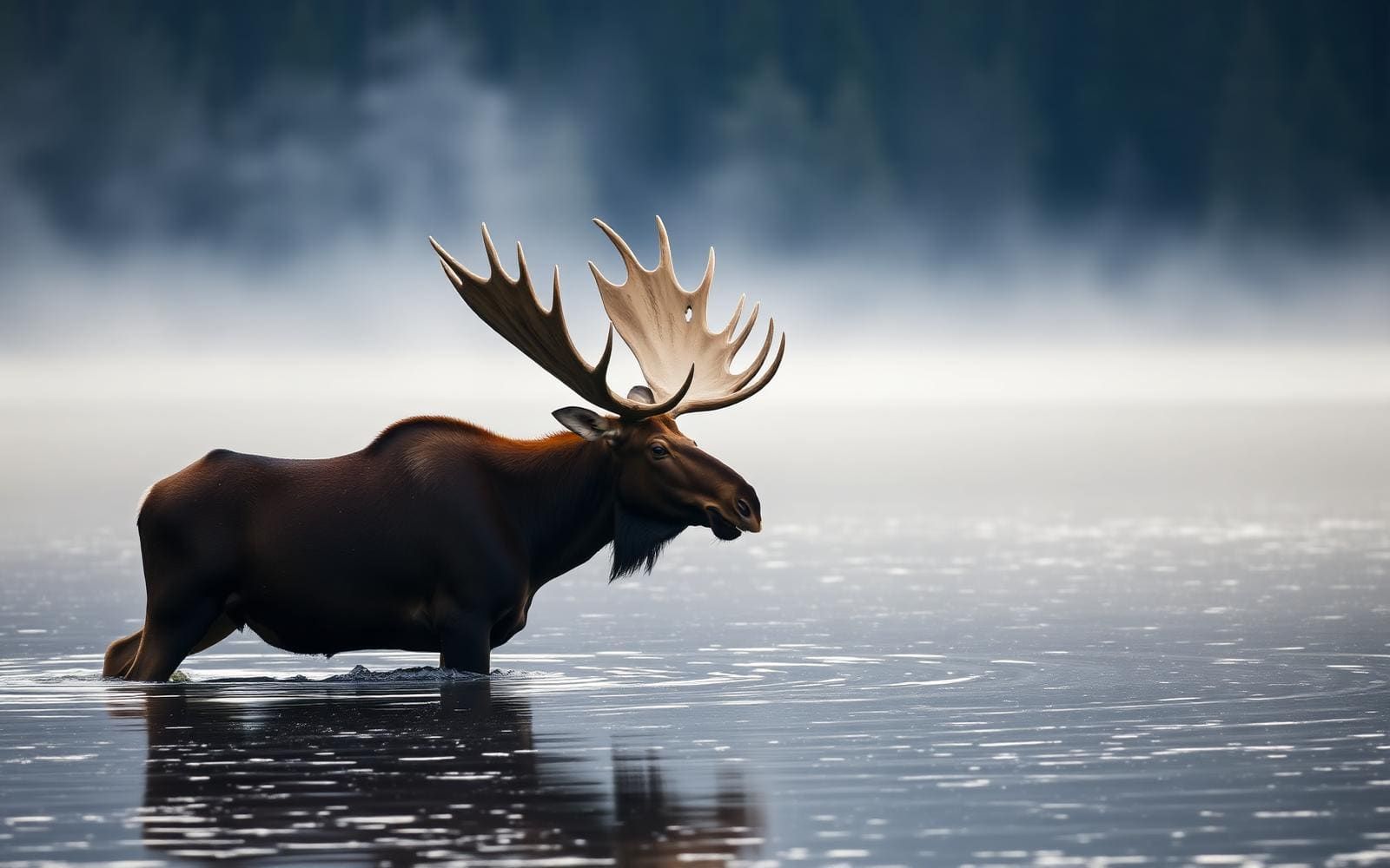
The Kungsleden is a haven for Arctic wildlife, though many animals are shy and difficult to spot. Reindeer are the most commonly seen large mammal, often grazing in herds across the fells; remember they are semi-domesticated and often belong to Sami herders. Moose can be found in the lower birch forests, especially near water sources. Smaller mammals like lemmings and Arctic foxes are present, and the elusive wolverine roams the higher, more remote areas like Sarek National Park. Birdlife includes various species adapted to the Arctic, such as golden eagles, ptarmigans, and numerous migratory waterfowl. The flora shifts dramatically with elevation, from the dense birch and willow of the lower valleys to the sparse, hardy mosses, lichens, and dwarf shrubs of the alpine tundra. Berries, particularly blueberries and cloudberries, are abundant in late summer.
Key Routes and Attractions
While the entire 440km trail is an attraction in itself, the most popular section is the northernmost stretch between Abisko and Nikkaluokta (via Kebnekaise). This segment is arguably the most scenic, offering dramatic mountain vistas, glacial valleys, and the option to summit Sweden's highest peak, Kebnekaise. Other significant points of interest include Sarek National Park, which the Kungsleden skirts, known for its pristine wilderness and lack of marked trails or huts within its boundaries, making it a true expeditionary challenge. The network of STF huts, typically spaced 10-25 km apart, provides shelter, basic supplies, and sometimes saunas, acting as key waypoints and community hubs along the journey. Section hiking is common, with Kvikkjokk, Ammarnäs, and Hemavan serving as other popular starting or ending points.
Permits and Access
No specific permits are required to hike the Kungsleden itself. However, if you plan to stay in the STF huts, it's advisable to become a member of the STF to receive discounted rates, and in some busier sections, booking beds in advance is highly recommended, especially during peak season. Access to the trailheads is generally straightforward. Abisko Turiststation, the northern terminus, is easily reached by train from Stockholm or Kiruna. The southern terminus at Hemavan has an airport and bus connections. Other popular entry/exit points like Nikkaluokta, Saltoluokta, Kvikkjokk, and Ammarnäs are accessible by bus, often requiring multiple transfers from larger towns. Road access to some trailheads may involve seasonal closures due to snow, so check local transport schedules carefully.
Trade-offs and Hazards
The primary trade-off for the Kungsleden's accessibility and established infrastructure is the potential for crowds, particularly on the Abisko-Nikkaluokta section during peak season. While the trail is long, you often won't have it entirely to yourself. Another consideration is the cost; Sweden can be an expensive country, and staying in huts and purchasing supplies along the trail adds up. Hazards include rapidly changing weather conditions, which can lead to hypothermia even in summer. River crossings, especially after heavy rains or early in the season, can be deep and swift. While large predators are rare, mosquitoes and midges can be a significant nuisance from late June to August, demanding effective repellent and head nets. Navigation is generally straightforward due to clear markings, but sections of boggy terrain or poor visibility can make progress slow and demanding. Preparation for self-sufficiency between huts is crucial.
Full destination profile
Continue into the complete destination guide for access, permits, seasonal planning, maps, field notes, and more local trip ideas.
Open the full destination profileHow we chose
We built this ranking from trip reports, agency data, permit records, and our editors' own time on the ground. 10 places made the final cut out of a much longer working list, and each one had to clear the same set of criteria before it earned a spot.
- Quality of the terrain
- Landscape, route variety, and whether the place rewards multiple days rather than one overlook.
- Season and weather windows
- How long the reliable window is, and how badly the shoulder seasons punish a bad forecast.
- Access and permits
- Trailhead logistics, permit odds, quotas, and how much lead time a trip realistically takes.
- Solitude vs. crowding
- How far you have to walk before the place feels like wilderness instead of a queue.
- Wildlife and ecology
- What you can reasonably expect to see, and what you have to plan around.
- Risk and skill required
- Navigation, water crossings, exposure, and rescue distance — stated plainly.
Kungsleden ('King's Trail') — frequently asked questions
- Is Kungsleden ('King's Trail') worth the trip?
- We rank it #4 in Backpacking Trips. 440 km through Arctic Sweden, with STF huts. Extremely accessible wilderness for its remoteness.
- Who is Kungsleden ('King's Trail') best for?
- Best for long-distance trekking, arctic wilderness immersion, first-time hut-to-hut hiking and summer backpacking. Standouts: well-maintained trail with clear markings, reducing navigation stress and stf hut system offers comfortable shelter and resupply points.
- What are the drawbacks of Kungsleden ('King's Trail')?
- Can be crowded in peak season, especially northern sections, Weather is highly unpredictable and can change rapidly and Costly if relying heavily on huts and resupply services.
- What are the key details for Kungsleden ('King's Trail')?
- Location: Swedish Lapland, Arctic Circle · Length: Approx. 440 km (270 miles) · Terrain: Alpine tundra, birch forest, mountain passes · Huts: STF (Swedish Tourist Association) network · Best Season: July to early September (hiking)
- Geography and Terrain — what should I know about the Kungsleden ('King's Trail')?
- The Kungsleden traverses a wide range of Arctic and sub-Arctic landscapes. Starting in the north, near Abisko, hikers encounter dramatic mountain scenery and deep valleys.
- Best Season and Weather — what should I know about the Kungsleden ('King's Trail')?
- The prime window for hiking the Kungsleden is typically from mid-July to early September. Before July, snowmelt can make many sections impassable and river crossings hazardous.
Where on earth
Satellite imagery flying in from a world view to Kungsleden ('King's Trail'), Norrbottens län, Sweden. Use the + / − buttons, or click the map to zoom with your scroll wheel; drag to pan and pinch to zoom on touch.
Kungsleden, 982 99 Gällivare, Sweden · 67.621, 18.108
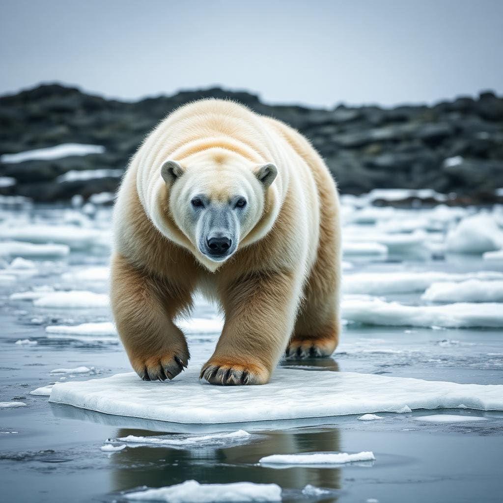
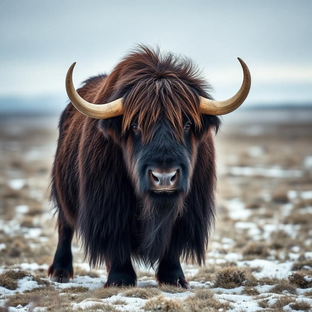
Wildlife found around Kungsleden ('King's Trail')





Compare side by side
Put the Kungsleden ('King's Trail') against any other pick on this list — specs, price, pros, cons and reader ratings.