



Eagle Cap Wilderness: Lakes Basin Loop
The Eagle Cap's core, offering a challenging loop through alpine lakes and high passes.
Where on earth
Satellite imagery flying in from a world view to Eagle Cap Wilderness: Lakes Basin Loop, USA. Use the + / − buttons, or click the map to zoom with your scroll wheel; drag to pan and pinch to zoom on touch.
- Region
- North America
- Country
- USA
- Backpacking
- Hiking
- Climbing
- Mountaineering
- Winter Camping
- Skiing
- Wildlife Viewing
- Canoeing
Key takeaways
- Top activity: backpacking
Topic summary
The Eagle Cap's core, offering a challenging loop through alpine lakes and high passes.
Intended uses
backpacking
Verification notes
Last verified September 2, 2026.
Plan with verified data
Eagle Cap Wilderness: Lakes Basin Loop trip tools
Popular pursuits at Eagle Cap Wilderness: Lakes Basin Loop
- Backpacking
Multi-day travel with everything on your back — see the packing blocks below.
- Hiking
Day miles on marked trail, with route notes and trail links below.
- Climbing
Rock and alpine lines with approach beta.
- Mountaineering
Glacier and high-route objectives with real consequence.
- Winter Camping
Cold-season travel and camp craft; layering matters more than mileage.
- Skiing
Ski-touring access when the road closes for the season.
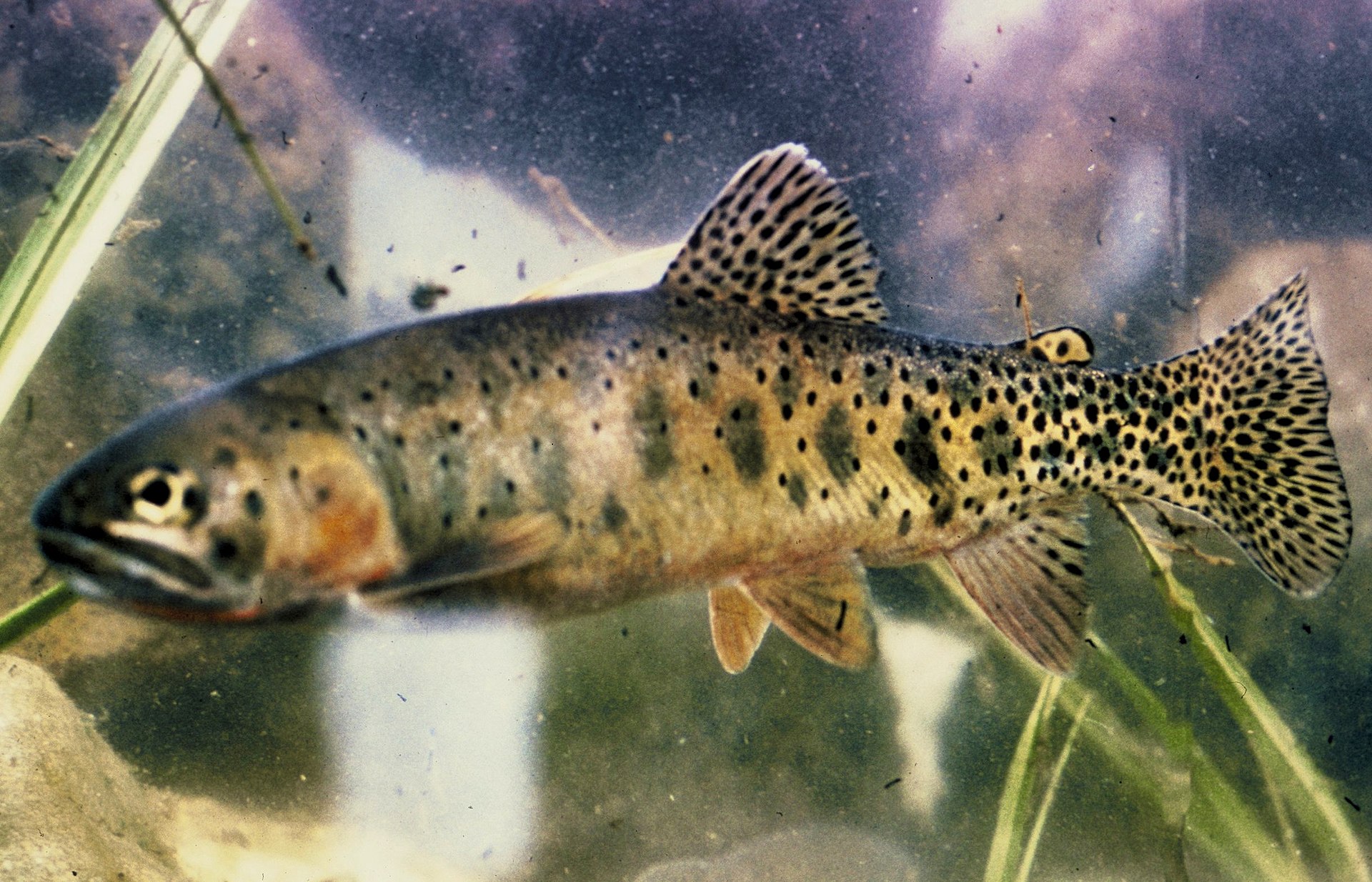
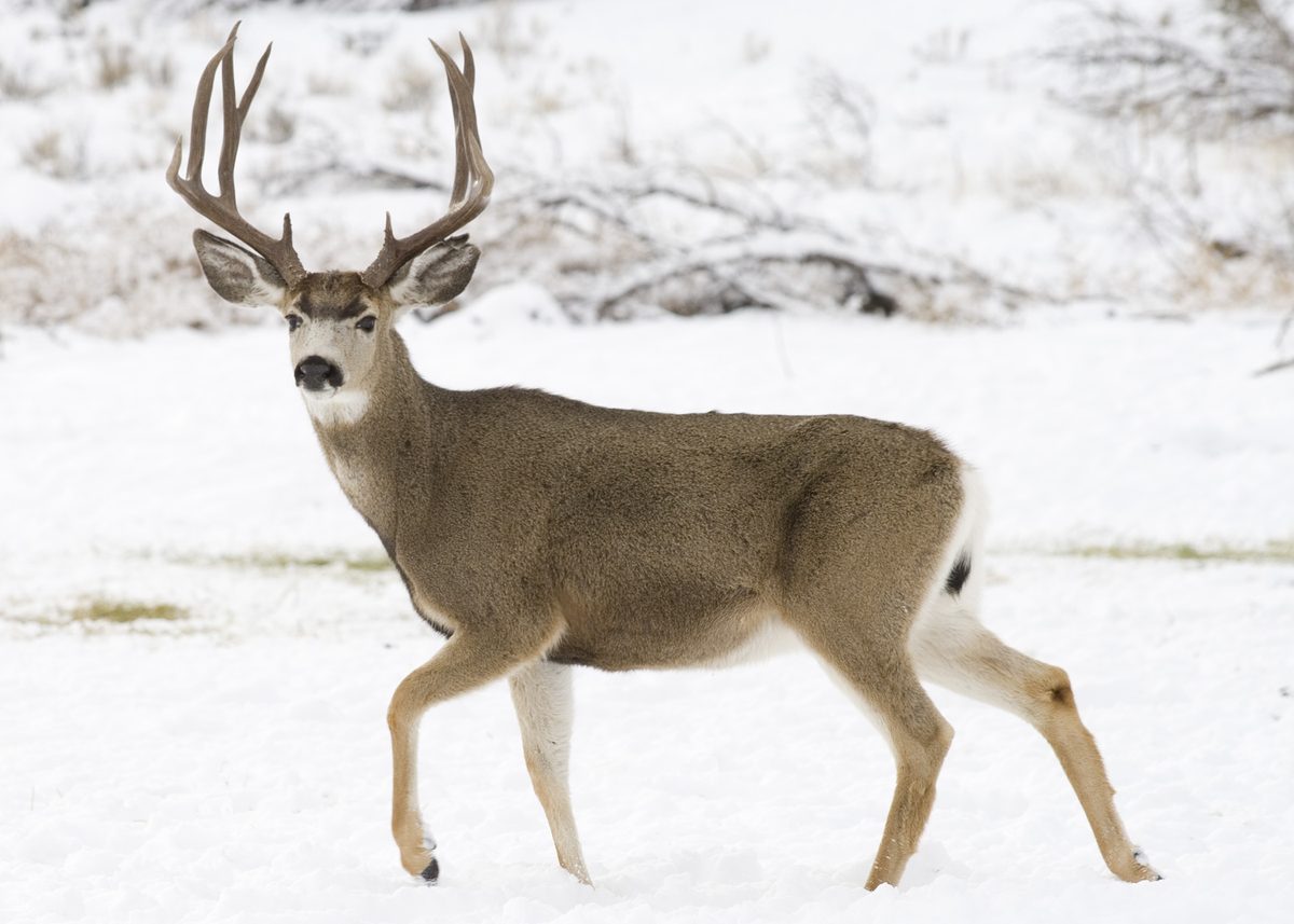
Animals around Eagle Cap Wilderness: Lakes Basin Loop






Introduction to Eagle Cap Wilderness
The Eagle Cap Wilderness is situated within the Wallowa Mountains in northeastern Oregon, managed by the Wallowa-Whitman National Forest. This area holds significant historical and cultural value, having been occupied by the Nez Perce Indian Tribe ancestors around 1400 A.D., and later by the Cayuse, Shoshone, and Bannocks. It served as hunting grounds for bighorn sheep and deer, a huckleberry gathering site, and a summer home for the Joseph Band of the Nez Perce tribe. The first settlers arrived in the Wallowa Valley in 1860. Designated as a primitive area in 1930, it became a wilderness in 1940, and was included in the National Wilderness Preservation System by the Wilderness Act of 1964. Today, it spans 359,991 acres, characterized by its high alpine lakes, expansive meadows, bare granite peaks and ridges, and U-shaped glaciated valleys. Visitors are encouraged to respect its natural rhythms and practice minimum impact techniques to preserve its beauty for future generations.
Recreation and Trail System
The Eagle Cap Wilderness offers approximately 535 miles of trails for hikers and horseback riders, with trailheads accessible from Wallowa, Union, and Baker counties. This vast trail network allows visitors to experience a landscape free from modern mechanized equipment. While the wilderness provides extensive opportunities for solitude, certain areas, particularly the Lakes Basin Management Area, are more heavily used. The Lakes Basin includes numerous lakes such as Minam, Blue, Upper, Mirror, Sunshine, Moccasin, Glacier, Prospect, Pocket, Frazier, Little Frazier, Douglas, Crescent, Craig, Lee, Lilly, Razz, Horseshoe, Unit, and Ice. To find solitude, visitors are advised to avoid holidays, travel on weekdays, visit in early spring or after Labor Day, and explore areas beyond the Lakes Basin. Other high-use trails to consider avoiding during peak season include East Fork Wallowa, West Fork Wallowa, Hurricane Creek, East Fork Lostine, and West Fork Lostine.
Seasonal Considerations and Access
Winter brings heavy snowfall to the Eagle Cap Wilderness, which can block many trails through June and early July. The primary summer and fall season typically runs from late June through November. High-elevation trails are generally snow-free from mid-July through September. Visitors should always check current conditions with the Wallowa Mountains Visitor Center to confirm trail accessibility. Being prepared with an ax and shovel for unexpected trail damage or downed trees is recommended. The experience in the Eagle Cap Wilderness serves as a reminder that nature operates on its own terms, presenting new challenges and adventures with each season. Careful planning, knowledge of current regulations, and adherence to minimum impact practices are vital for a memorable and responsible wilderness visit.
Seasonal conditions
| Season | Window | Conditions |
|---|---|---|
| Spring | Early Spring | Trails are often blocked by heavy snowfall. |
| Summer | Late June through July | Lower elevation trails begin to open in late June. High elevation trails typically become snow-free from mid-July. |
| Fall | September through November | Trails are generally open and snow-free. A good time to visit for solitude. |
| Winter | Heavy snowfall blocks many trails. |
Permits, fees & closures
One permit is required. Check with the Wallowa Mountains Visitor Center or the nearest forest office for specific permit information and regulations before your trip.
Official source: Wallowa-Whitman National Forest | Eagle Cap Wilderness · Verified September 9, 2026
Hazards & regulations
- Unexpected trail damage
- Downed trees
- Heavy snowfall blocking trails (especially in winter, spring, and early summer)
What to pack for Eagle Cap Wilderness: Lakes Basin Loop
- Ax
- Shovel
Wildlife you may see
- Bighorn sheep
- Deer