



- Region
- AK, USA
- Country
- United States
- Best for
- hiking
- Best season
- Spring, Summer
- Permits
- Confirm current wilderness permit and regi…
- Managed by
- National Park Service
Plan with verified data
Gates of the Arctic Wilderness trip tools
Tools for a trip here
Picked for how, when and where you're going. Free, no signup.
Photos of Gates of the Arctic Wilderness
How to get there
For road-based trip planning, head to the Arctic Interagency Visitor Center in Coldfoot. From Fairbanks, drive north 11 miles on the Steese Highway (AK-6) to Fox, then follow the Elliott Highway (AK-2) for 73 miles to the Dalton Highway (AK-11). Continue to Coldfoot at Dalton Milepost 175. The drive is about 260 miles and takes 6–8 hours depending on weather, road conditions, and stops. The center entrance is on the west side of the highway, opposite the cafe and truck stop; northbound travelers who cross the Slate Creek bridge have gone too far. Coldfoot is a planning gateway, not a wilderness trailhead. Bettles and Anaktuvuk Pass also have visitor centers and are reached by aircraft.
- Coldfoot — Arctic Interagency Visitor Center
Road-accessible planning gateway offering maps, road-condition information, backcountry orientation, bear barrel loans, and park backcountry registration. Ask here about access from the road; there is no established wilderness trailhead.
- Bettles
Aircraft-accessed community with a visitor center for park information and trip planning. Do not treat it as an established trailhead into the wilderness.
- Anaktuvuk Pass
Aircraft-accessed community with a visitor center. Use it as an information gateway when planning independent wilderness travel rather than expecting a marked trail network.
Sources: blm.gov · University of Montana / federal agency partners · Wilderness Connect / federal wilderness boundary inventory · Wikipedia. Confirm road and trailhead conditions with the managing agency before you leave.
AK, USA · United States
- Fishing
- Hunting
- Climbing
- Mountaineering
- Desert Hiking
- Canyoneering
- Hiking
- Backpacking
A wilderness across the Brooks Range
Gates of the Arctic Wilderness straddles the central Brooks Range in northern Alaska, entirely north of the Arctic Circle. Its landscape changes sharply across the mountains: thin boreal forest covers parts of the southern slopes, glacier-carved valleys cut between rugged peaks, and rolling tundra spreads northward toward polar desert. Clear rivers and alpine lakes shape both the scenery and the choices for travel. The name comes from Boreal Mountain and Frigid Crags, two peaks near the head of the North Fork of the Koyukuk River that Bob Marshall called the Gates of the Arctic during his explorations in the early 1930s. The designated wilderness protects much of Gates of the Arctic National Park and Preserve and adjoins the Noatak Wilderness. For visitors, the defining feature is not a particular viewpoint but the absence of an established trail network: movement through this country requires independent navigation and route decisions.
Choose terrain, not a marked itinerary
There are no established trails or trailheads into the Gates Wilderness. Backpacking here means choosing a line through the landscape rather than following signs, and a river name alone does not supply a complete paddling itinerary. Glacier-carved valleys offer possibilities for walking, while the Alatna, John, Kobuk, North Fork of the Koyukuk, Noatak, and Tinayguk rivers provide options for floating or paddling. Climbers are drawn to the Arrigetch Peaks and Mount Igikpak. Match the objective to the group's navigation, river, or climbing skills, and settle access and exit arrangements before committing to a route. Coldfoot is the road-accessible planning stop; visitor centers in Bettles and Anaktuvuk Pass serve communities reached by aircraft. The Arctic Interagency Visitor Center in Coldfoot offers maps, trip-planning assistance, backcountry orientation, bear barrel loans, and backcountry registration for the park and preserve. Confirm current access requirements with the National Park Service.
Travel lightly in wildlife country
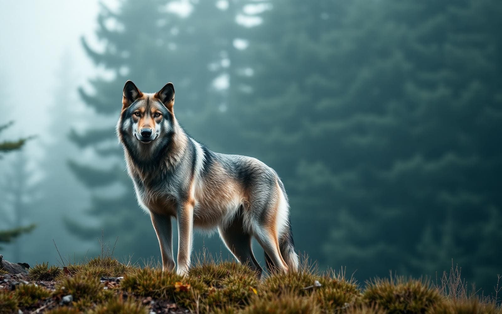
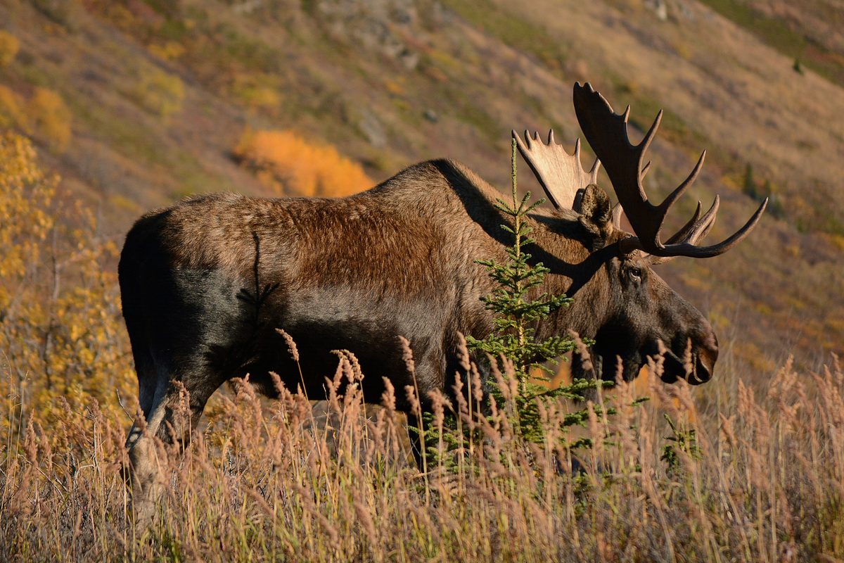
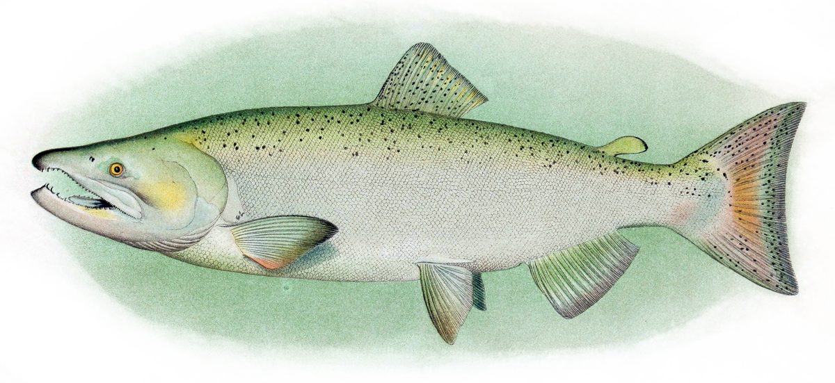
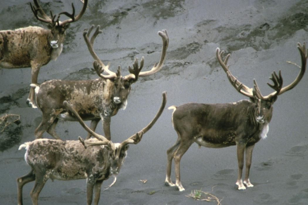
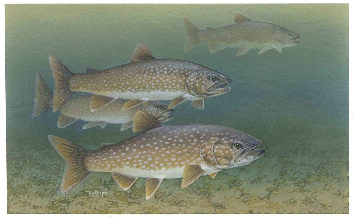
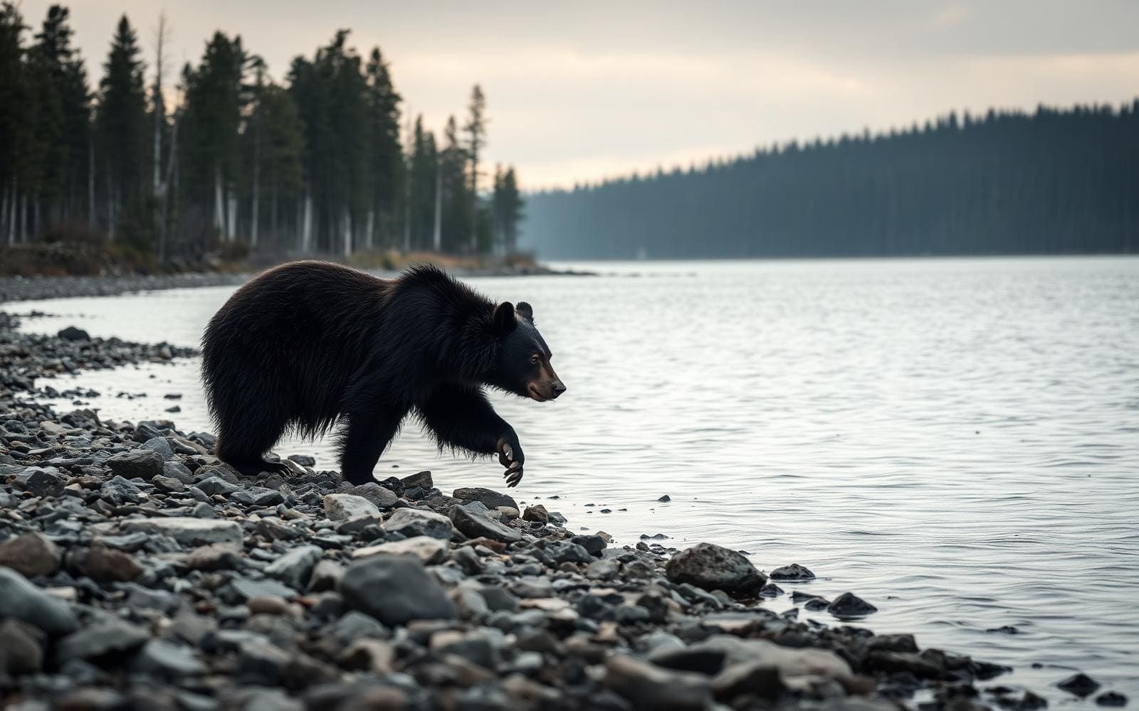
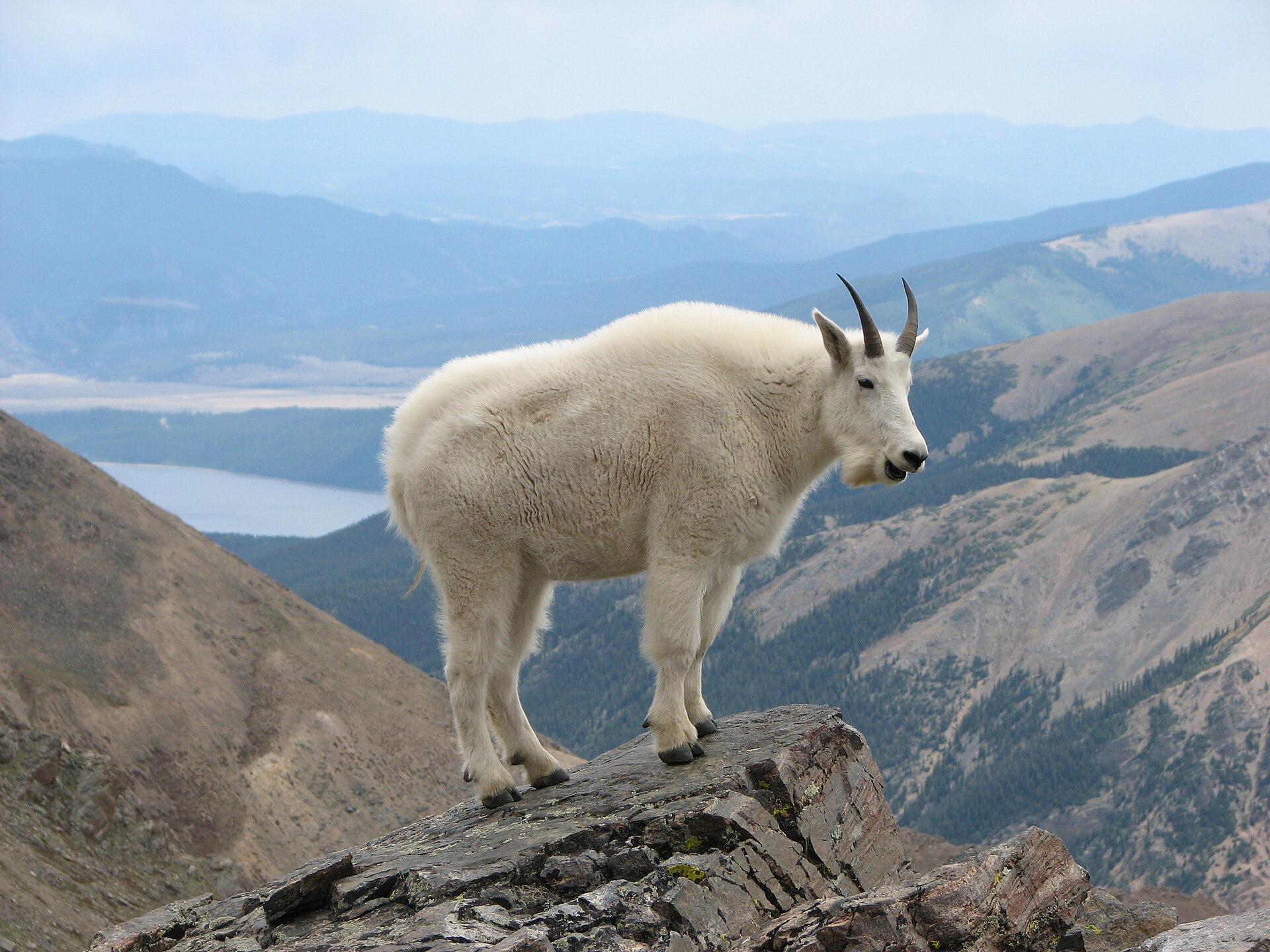
Caribou move across the northern tundra, while grizzly bears, black bears, moose, wolves, and Dall sheep share the broader park landscape. Eagles and hawks are also part of the country, and rivers support grayling, char, and chum salmon. Wildlife watching should leave animals space rather than become a reason to approach them. Use the backcountry orientation in Coldfoot to discuss bear safety and food storage, and ask about the center's bear barrel loans. Wood is scarce, so plan to cook with a stove rather than rely on a campfire. Pack for exposed tundra and mountain travel, with weather protection suited to time away from facilities. Northern Alaska is also a lived-in landscape with a long tradition of subsistence. Land ownership and management vary across the region; distinguish the wilderness, park, preserve, and neighboring lands when planning activities rather than assuming the same rules apply everywhere.
Where on earth
Satellite imagery flying in from a world view to Gates of the Arctic Wilderness, United States. Use the + / − buttons, or click the map to zoom with your scroll wheel; drag to pan and pinch to zoom on touch.
Coordinates
- Decimal degrees
- 67.7507, -153.2474
- Latitude (DMS)
- 67° 45′ 2.7″ N
- Longitude (DMS)
- 153° 14′ 50.5″ W
Coordinates are an access-point reference for Gates of the Arctic Wilderness, not a route. Carry a paper map and confirm trailhead or put-in access with the managing agency before you go.
Topic summary
When Bob Marshall explored this region in the early 1930s, two looming peaks near the head of the North Fork of the Koyukuk River (Boreal Mountain and Frigid Crags) left a lasting impression on him. He...
Key takeaways
- Region: AK, USA
- Country: United States
- Good for: hiking
- Coordinates: 67.751, -153.247
Intended uses
hiking
Keep planning
Popular pursuits at Gates of the Arctic Wilderness
- Fishing
Resident gamefish, seasons, and the water that holds them.
- Hunting
Seasons, tags, and the units that hold animals.
- Climbing
Rock and alpine lines with approach beta.
- Mountaineering
Glacier and high-route objectives with real consequence.
- Desert Hiking
Water carries and heat management drive the plan.
- Canyoneering
Narrows, downclimbs, and flash-flood timing.
Animals around Gates of the Arctic Wilderness
A wilderness across the Brooks Range
Gates of the Arctic Wilderness straddles the central Brooks Range in northern Alaska, entirely north of the Arctic Circle. Its landscape changes sharply across the mountains: thin boreal forest covers parts of the southern slopes, glacier-carved valleys cut between rugged peaks, and rolling tundra spreads northward toward polar desert. Clear rivers and alpine lakes shape both the scenery and the choices for travel. The name comes from Boreal Mountain and Frigid Crags, two peaks near the head of the North Fork of the Koyukuk River that Bob Marshall called the Gates of the Arctic during his explorations in the early 1930s. The designated wilderness protects much of Gates of the Arctic National Park and Preserve and adjoins the Noatak Wilderness. For visitors, the defining feature is not a particular viewpoint but the absence of an established trail network: movement through this country requires independent navigation and route decisions.
Choose terrain, not a marked itinerary
There are no established trails or trailheads into the Gates Wilderness. Backpacking here means choosing a line through the landscape rather than following signs, and a river name alone does not supply a complete paddling itinerary. Glacier-carved valleys offer possibilities for walking, while the Alatna, John, Kobuk, North Fork of the Koyukuk, Noatak, and Tinayguk rivers provide options for floating or paddling. Climbers are drawn to the Arrigetch Peaks and Mount Igikpak. Match the objective to the group's navigation, river, or climbing skills, and settle access and exit arrangements before committing to a route. Coldfoot is the road-accessible planning stop; visitor centers in Bettles and Anaktuvuk Pass serve communities reached by aircraft. The Arctic Interagency Visitor Center in Coldfoot offers maps, trip-planning assistance, backcountry orientation, bear barrel loans, and backcountry registration for the park and preserve. Confirm current access requirements with the National Park Service.
Travel lightly in wildlife country
Caribou move across the northern tundra, while grizzly bears, black bears, moose, wolves, and Dall sheep share the broader park landscape. Eagles and hawks are also part of the country, and rivers support grayling, char, and chum salmon. Wildlife watching should leave animals space rather than become a reason to approach them. Use the backcountry orientation in Coldfoot to discuss bear safety and food storage, and ask about the center's bear barrel loans. Wood is scarce, so plan to cook with a stove rather than rely on a campfire. Pack for exposed tundra and mountain travel, with weather protection suited to time away from facilities. Northern Alaska is also a lived-in landscape with a long tradition of subsistence. Land ownership and management vary across the region; distinguish the wilderness, park, preserve, and neighboring lands when planning activities rather than assuming the same rules apply everywhere.
Route options
- North Fork of the Koyukuk River
A floating or paddling option through a glacier-carved valley. Boreal Mountain and Frigid Crags stand near the river's head and gave Gates of the Arctic its name. Access, exit, and the actual trip length require separate planning.
- Alatna River
A river-travel option flowing out of the Arrigetch Peaks. Plan a specific floating or paddling itinerary rather than treating the river's Wild and Scenic designation as a ready-made route.
- Kobuk River
A floating or paddling option with broad views of the Brooks Range. Choose the intended river section and resolve access and exit arrangements before setting a trip schedule.
- Tinayguk River
A remote, seldom-visited river option for floating or paddling. Independent planning is essential; this is not a signed route with established wilderness trailheads.
- Arrigetch Peaks
A climbing destination in the Brooks Range. Select an objective appropriate to the group's mountain skills and plan navigation independently; no established trail network leads through the wilderness.
Sample itineraries
- Coldfoot orientation before the wilderness · 1 day
Spend a preparation day at the Arctic Interagency Visitor Center in Coldfoot. Review maps, get backcountry orientation, ask about access and registration, and check bear barrel availability. Walk the nearby nature trails, but do not mistake these visitor-center walks for trails into the wilderness.
- Central Brooks Range backpacking concept · 5 days
Use five days as a planning framework, not a verified route schedule, for exploring glacier-carved valleys and tundra. Set access, turnaround points, and daily objectives with local planning assistance. There are no established trails or trailheads; navigation skills and conservative terrain choices matter more than a mileage target.
Seasonal conditions
Spring
Spring transition
Treat snow cover, river conditions, and access as questions to resolve before committing. In this entirely Arctic mountain wilderness, a calendar alone cannot establish route readiness. Seek current local guidance and carry insulation and weather protection.
Summer
Summer; visitor-center hours run late May through mid-September
The Arctic Interagency Visitor Center offers seasonal trip-planning support. Backcountry travel remains off-trail through mountain valleys, sparse boreal forest, and tundra. Pack for exposed terrain and changing weather rather than assuming summer means consistently mild conditions.
Fall
Fall transition
Build conservative margins for changing Arctic weather and cold conditions. The visitor center's summer schedule ends in mid-September; confirm available planning services before traveling. Keep terrain choices and turnaround decisions flexible.
Winter
Winter
Treat travel north of the Arctic Circle as a specialized cold-weather undertaking. Confirm daylight, snow conditions, access, and available support before setting an itinerary. Do not extend a summer backpacking plan into winter without reassessing equipment and skills.
| Season | Window | Conditions |
|---|---|---|
| Spring | Spring transition | Treat snow cover, river conditions, and access as questions to resolve before committing. In this entirely Arctic mountain wilderness, a calendar alone cannot establish route readiness. Seek current local guidance and carry insulation and weather protection. |
| Summer | Summer; visitor-center hours run late May through mid-September | The Arctic Interagency Visitor Center offers seasonal trip-planning support. Backcountry travel remains off-trail through mountain valleys, sparse boreal forest, and tundra. Pack for exposed terrain and changing weather rather than assuming summer means consistently mild conditions. |
| Fall | Fall transition | Build conservative margins for changing Arctic weather and cold conditions. The visitor center's summer schedule ends in mid-September; confirm available planning services before traveling. Keep terrain choices and turnaround decisions flexible. |
| Winter | Winter | Treat travel north of the Arctic Circle as a specialized cold-weather undertaking. Confirm daylight, snow conditions, access, and available support before setting an itinerary. Do not extend a summer backpacking plan into winter without reassessing equipment and skills. |
Permits, fees & closures
Confirm current wilderness permit and registration requirements with the National Park Service. The Arctic Interagency Visitor Center offers backcountry registration for Gates of the Arctic National Park and Preserve.
Fees: Admission to the Arctic Interagency Visitor Center is free.
Official source: Arctic Interagency Visitor Center | Bureau of Land Management · Verified November 14, 2026
Hazards & regulations
- Navigation is entirely self-directed: there are no established trails or trailheads into the wilderness.
- Remote glacier-carved valleys and rugged Brooks Range terrain demand conservative route choices and a self-sufficient plan.
- Rivers can present serious travel obstacles. Assess crossings and paddling conditions locally rather than assuming a mapped river is straightforward.
- Grizzly and black bears inhabit the park. Keep food secured, avoid approaching wildlife, and ask about bear barrel loans during orientation.
- Rockfall is a concern in mountain terrain; assess overhead slopes before stopping or choosing a campsite.
- Exposed tundra and Arctic mountain weather require reliable shelter, insulation, and flexibility.
What to pack for Gates of the Arctic Wilderness
- Detailed maps and compass
- Offline navigation with backup power
- Satellite communication device
- First-aid and repair supplies
- Weather-resistant shelter
- Insulated sleeping system suited to expected conditions
- Rain protection
- Insulating layers, warm hat, and gloves
- Bear-resistant food storage
- Stove and sufficient fuel; wood is scarce and campfires are discouraged
- Water treatment and carrying capacity
- Food reserve for itinerary changes
Gates of the Arctic Wilderness FAQ
- Where is Gates of the Arctic Wilderness?
- It straddles the central Brooks Range in northern Alaska, entirely north of the Arctic Circle. Southern slopes support thin boreal forest, while northern landscapes transition to rolling tundra and, at the extreme northern edge, polar desert.
- Where should trip planning begin?
- Start at the Arctic Interagency Visitor Center in Coldfoot, the road-accessible visitor center. It provides maps, planning assistance, backcountry orientation, and road-condition information. Visitor centers also exist in Bettles and Anaktuvuk Pass, communities accessed by aircraft.
- Can a visit follow a marked hiking route?
- No established trails or wilderness trailheads exist. Leaving the road or aircraft means taking responsibility for navigation and pathfinding. Ask in Coldfoot about access options rather than treating a map point as an entrance.
- What gave Gates of the Arctic its name?
- Bob Marshall named the area after Boreal Mountain and Frigid Crags, two prominent peaks near the head of the North Fork of the Koyukuk River.
- Which rivers offer paddling possibilities?
- The Alatna, John, Kobuk, North Fork of the Koyukuk, Noatak, and Tinayguk are named Wild and Scenic Rivers associated with the park. Choose a section only after checking access, current water conditions, and the skills and equipment it requires.
- Is the wilderness the same as the entire park and preserve?
- No. Gates of the Arctic Wilderness protects a large portion of Gates of the Arctic National Park and Preserve, not its entire area. Confirm boundaries and activity rules with the National Park Service rather than assuming every designation has identical requirements.