



- Region
- TN, USA
- Country
- United States
- Best for
- hiking
- Best season
- Spring, Summer
- Permits
- Confirm current permit requirements and wi…
- Managed by
- U.S. Forest Service, Cherokee National Forest
Plan with verified data
Gee Creek Wilderness trip tools
Tools for a trip here
Picked for how, when and where you're going. Free, no signup.
Photos of Gee Creek Wilderness
How to get there
Gee Creek Wilderness lies on the western edge of southern Cherokee National Forest in eastern Tennessee. The Gee Creek Trail starts at a parking lot outside the wilderness’s southwestern corner. Confirm driving directions to that parking lot with the Forest Service; an interior wilderness map point is not a trailhead.
- Gee Creek Trail parking lot
Located outside the southwestern corner of the wilderness. From the parking lot, the trail follows an old forest road for about one-half mile before entering the wilderness.
- Chestnut Mountain Trail
A trail corridor along Chestnut Mountain’s southern and eastern slopes, used primarily by horseback riders. Confirm its trailhead location and approach with the Forest Service before using it for access.
Sources: recreation.gov · University of Montana / federal agency partners · Wilderness Connect / federal wilderness boundary inventory. Confirm road and trailhead conditions with the managing agency before you leave.
TN, USA · United States
- Fishing
- Mountaineering
- Hiking
- Backpacking
- Wildlife Viewing
Creek hollows on the forest’s western edge
Gee Creek Wilderness sits along the western border of the southern portion of Cherokee National Forest in eastern Tennessee’s Overhill Country. Starr Mountain rises to the west and north, while Chestnut Mountain bounds the south. Inside that setting, south-flowing Gee Creek and Poplar Springs Branch cut wooded hollows through the mountains. Seen from a distance, their drainages form a V in the mountain face. The main walking experience is down among the trees and water rather than on an open summit: trails follow the creeks through hemlock, buckeye, white pine, beech, and rhododendron. Designated in 1975, this small wilderness offers a creek-centered outing where the drainage layout matters more to route planning than the area’s modest size might suggest.
Following Gee Creek and its branch
The semiprimitive Gee Creek Trail begins at a parking lot outside the wilderness’s southwestern corner. It follows an old forest road for about one-half mile before entering the wilderness, then traces the creek on a route described as approximately two miles to a dead end. At the confluence with Poplar Springs Branch, the trail divides: one arm continues a short distance up Gee Creek, while the other follows the branch farther into the drainage. The northern terrain becomes steeper, so do not treat every continuation as equivalent to the approach walk. Choose a turnaround that fits the group’s time and ability, and carry navigation suited to a branching creek route. The dead-end description makes planning the return journey an important part of the outing.
Forest recovery and trip preparation
The dense forest here has grown back after extensive logging, but the hollows still hold evidence of earlier use. An old mining site remains visible along Gee Creek, with other abandoned remnants also part of the landscape. Leave those features undisturbed rather than treating them as places to explore closely. Both Gee Creek and Poplar Springs Branch support native trout, making fishing another reason to spend time along the water. Confirm current fishing requirements and any permit requirements with the Forest Service before setting out. For a different route, Chestnut Mountain Trail follows the mountain’s southern and eastern slopes and is used primarily by horseback riders. Pack for a wooded creek outing, carry drinking water or treatment, and allow extra time for the steeper northern terrain.
Where on earth
Satellite imagery flying in from a world view to Gee Creek Wilderness, United States. Use the + / − buttons, or click the map to zoom with your scroll wheel; drag to pan and pinch to zoom on touch.
Coordinates
- Decimal degrees
- 35.2654, -84.5043
- Latitude (DMS)
- 35° 15′ 55.6″ N
- Longitude (DMS)
- 84° 30′ 15.6″ W
Coordinates are an access-point reference for Gee Creek Wilderness, not a route. Carry a paper map and confirm trailhead or put-in access with the managing agency before you go.
Topic summary
To the early settlers in South Carolina, the Cherokee Indians lived "over the hills" in eastern Tennessee. People today refer to the region, which includes the southern portion of Cherokee National Forest...
Key takeaways
- Region: TN, USA
- Country: United States
- Good for: hiking
- Coordinates: 35.265, -84.504
Intended uses
hiking
Keep planning
Popular pursuits at Gee Creek Wilderness
- Fishing
Resident gamefish, seasons, and the water that holds them.
- Mountaineering
Glacier and high-route objectives with real consequence.
- Hiking
Day miles on marked trail, with route notes and trail links below.
- Backpacking
Multi-day travel with everything on your back — see the packing blocks below.
- Wildlife Viewing
Best light, best season, and where animals move.
Animals around Gee Creek Wilderness
 Wildlife guideBlack bearUrsus americanus
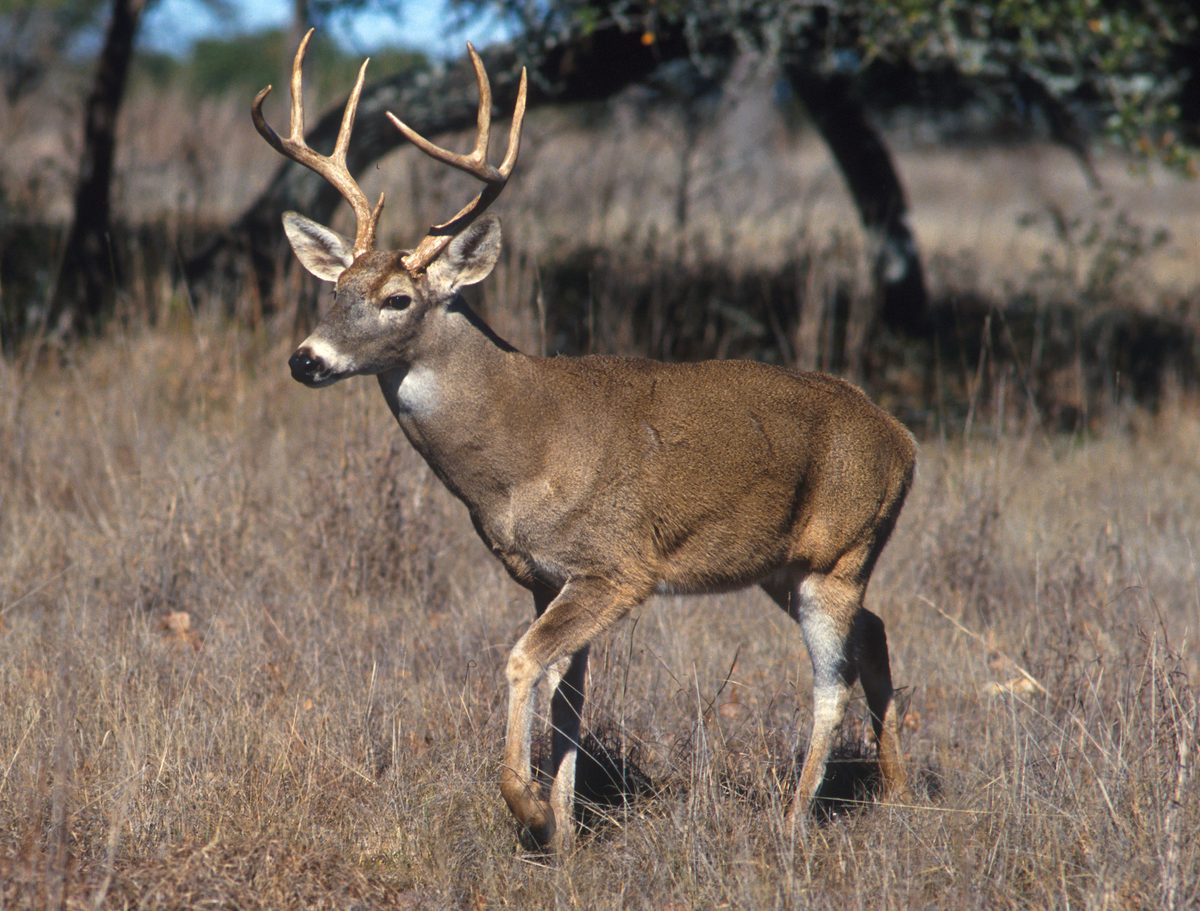 Big gameWhitetail DeerOdocoileus virginianus
 GamefishLargemouth BassMicropterus nigricans
 Wildlife guideNorth American beaverCastor canadensis
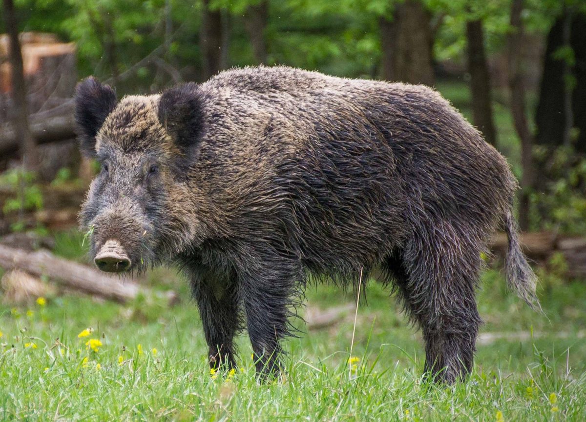 Big gameWild HogSus scrofa
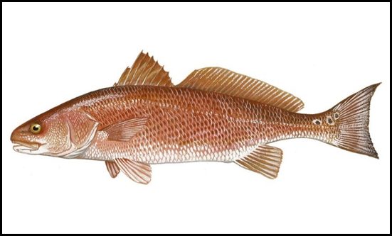 GamefishRed DrumSciaenops ocellatus
 Wildlife guideSnowshoe hareLepus americanus
 Big gameBlack BearUrsus americanus
Creek hollows on the forest’s western edge
Gee Creek Wilderness sits along the western border of the southern portion of Cherokee National Forest in eastern Tennessee’s Overhill Country. Starr Mountain rises to the west and north, while Chestnut Mountain bounds the south. Inside that setting, south-flowing Gee Creek and Poplar Springs Branch cut wooded hollows through the mountains. Seen from a distance, their drainages form a V in the mountain face. The main walking experience is down among the trees and water rather than on an open summit: trails follow the creeks through hemlock, buckeye, white pine, beech, and rhododendron. Designated in 1975, this small wilderness offers a creek-centered outing where the drainage layout matters more to route planning than the area’s modest size might suggest.
Following Gee Creek and its branch
The semiprimitive Gee Creek Trail begins at a parking lot outside the wilderness’s southwestern corner. It follows an old forest road for about one-half mile before entering the wilderness, then traces the creek on a route described as approximately two miles to a dead end. At the confluence with Poplar Springs Branch, the trail divides: one arm continues a short distance up Gee Creek, while the other follows the branch farther into the drainage. The northern terrain becomes steeper, so do not treat every continuation as equivalent to the approach walk. Choose a turnaround that fits the group’s time and ability, and carry navigation suited to a branching creek route. The dead-end description makes planning the return journey an important part of the outing.
Forest recovery and trip preparation
The dense forest here has grown back after extensive logging, but the hollows still hold evidence of earlier use. An old mining site remains visible along Gee Creek, with other abandoned remnants also part of the landscape. Leave those features undisturbed rather than treating them as places to explore closely. Both Gee Creek and Poplar Springs Branch support native trout, making fishing another reason to spend time along the water. Confirm current fishing requirements and any permit requirements with the Forest Service before setting out. For a different route, Chestnut Mountain Trail follows the mountain’s southern and eastern slopes and is used primarily by horseback riders. Pack for a wooded creek outing, carry drinking water or treatment, and allow extra time for the steeper northern terrain.
Route options
- Gee Creek TrailApproximately two miles to a dead endSemiprimitive trail
Follow the old forest road approach into the wilderness and continue along Gee Creek. The route is described as ending at a dead end; account separately for the return walk. A junction at Poplar Springs Branch divides the creek-following options.
- Poplar Springs Branch continuationSteeper terrain in the northern section
At the confluence with Gee Creek, take the branch-following arm for the longer continuation up the drainage. The northern section becomes steeper; choose a turnaround appropriate to conditions and the group.
- Chestnut Mountain Trail5.6 miles
Follow the slopes of Chestnut Mountain through the southern and eastern part of the area. This route is used primarily by horseback riders.
Sample itineraries
- Gee Creek out-and-back · 1 day
Start at the parking lot outside the wilderness’s southwestern corner. Gee Creek Trail follows an old forest road for about half a mile before entering the wilderness. Follow the creek through wooded hollows, then retrace the route. The trail extends approximately two miles to a dead end.
- Poplar Springs Branch exploration · 1 day
Follow Gee Creek Trail to the confluence with Poplar Springs Branch. Take the branch-side trail through hemlock, buckeye, white pine, beech, and rhododendron. Choose a turnaround suited to the group rather than assuming a loop; terrain steepens in the northern section.
Seasonal conditions
Spring
Check current conditions before choosing a date.
Plan around weather and creek conditions on these drainage-following trails. Carry rain protection and check footing near water. Do not assume a creekside route will remain equally manageable after rain.
Summer
Choose timing using the local forecast.
Wooded hollows provide forest cover, but carry drinking water and adjust effort to the temperature. Allow extra energy for the steeper northern terrain.
Fall
Check the forecast and available daylight.
Carry layers and leave enough daylight to retrace an out-and-back route. Pay attention to footing where fallen leaves obscure the trail surface.
Winter
Choose a suitable weather forecast.
Prepare for cold and wet conditions rather than relying on a short route for safety. Carry insulating layers and turn back if footing along the creeks becomes unsafe.
| Season | Window | Conditions |
|---|---|---|
| Spring | Check current conditions before choosing a date. | Plan around weather and creek conditions on these drainage-following trails. Carry rain protection and check footing near water. Do not assume a creekside route will remain equally manageable after rain. |
| Summer | Choose timing using the local forecast. | Wooded hollows provide forest cover, but carry drinking water and adjust effort to the temperature. Allow extra energy for the steeper northern terrain. |
| Fall | Check the forecast and available daylight. | Carry layers and leave enough daylight to retrace an out-and-back route. Pay attention to footing where fallen leaves obscure the trail surface. |
| Winter | Choose a suitable weather forecast. | Prepare for cold and wet conditions rather than relying on a short route for safety. Carry insulating layers and turn back if footing along the creeks becomes unsafe. |
Permits, fees & closures
Confirm current permit requirements and wilderness rules with the Forest Service managing Cherokee National Forest.
Official source: Great Smoky Mountains Backcountry Permits ... · Verified October 28, 2026
Hazards & regulations
- Terrain steepens in the northern section; leave enough energy and daylight for the return.
- Gee Creek Trail is semiprimitive and branches at Poplar Springs Branch. Carry a map and keep track of the junction.
- Old mining sites and abandoned relics remain, including a site along Gee Creek. Avoid entering or disturbing them.
- Chestnut Mountain Trail is used primarily by horseback riders. Stay alert and give horses room to pass.
- Trails follow creek drainages; assess weather, water conditions, and footing before continuing.
What to pack for Gee Creek Wilderness
- Trail map showing Gee Creek and Poplar Springs Branch
- Compass
- Headlamp
- First-aid kit
- Footwear with dependable traction
- Rain shell
- Season-appropriate insulating layers
- Spare socks
- Drinking water
- Water treatment if replenishing from creeks
- Trail food
- Bag for packing out waste
Gee Creek Wilderness FAQ
- Where is Gee Creek Wilderness?
- It lies on the western border of southern Cherokee National Forest in Tennessee Overhill Country. Starr Mountain rises to the west and north, while Chestnut Mountain lies to the south.
- Where does Gee Creek Trail begin?
- The trail begins at a parking lot outside the wilderness’s southwestern corner. It follows an old forest road for about half a mile before entering the wilderness. An interior map point is not a trailhead or access point.
- Is Gee Creek Trail a loop?
- No loop is described. The trail runs approximately two miles to a dead end and branches at the confluence with Poplar Springs Branch. Plan to retrace the route and check a trail map before setting out.
- What other trail is in the area?
- Chestnut Mountain Trail follows the mountain’s southern and eastern slopes for 5.6 miles. It is used primarily by horseback riders. Confirm access and route details before planning a trip.
- Can visitors fish here?
- Gee Creek and Poplar Springs Branch support native trout. Confirm current fishing requirements and regulations with the responsible agencies before fishing.
- What remains of the area’s logging and mining history?
- Forest has regrown across land heavily affected by logging. Old mining sites and other abandoned relics remain, including a visible mining site along Gee Creek. Observe without entering or disturbing them.