



Where on earth
Satellite imagery flying in from a world view to Yokanga River (Russia), Worldwide. Use the + / − buttons, or click the map to zoom with your scroll wheel; drag to pan and pinch to zoom on touch.
- Region
- Russia
- Country
- Worldwide
- Biome
- Sub-arctic (100 m)
- Best season
- July – September
- Difficulty
- moderate
- Backpacking
- Hiking
- Fishing
- Winter Camping
- Wildlife Viewing
- Canoeing
Key takeaways
- Biome: Sub-arctic (100 m)
- Best season: July – September
- Difficulty: moderate
- Top activity: backpacking
Photos of Yokanga River (Russia)
Topic summary
Kola Peninsula salmon river — 30-lb Atlantic salmon.
Key takeaways
- Difficulty: moderate
- Best season: July – September
Intended uses
backpacking
Climate suitability
Sub-arctic (100 m)
Tools for a trip here
Picked for how, when and where you're going. Free, no signup.
- Sleep System Temp CalculatorCold nights: check your bag and pad add up to a safe sleep.
- Base Weight CalculatorEvery ounce is carried — total your kit and find your base weight.
- Pack Volume SizerSize the pack for your trip length and season.
- Water Purification MatrixTreat water from streams and lakes on trail.
- Layering CalculatorCold-season miles: layer for climbs and camp.
Plan with verified data
Yokanga River (Russia) trip tools
How to get there
The Yokanga is in northern Murmansk Oblast on the Kola Peninsula, flowing from Lake Alozero to the Barents Sea. Confirm transport and the exact river meeting point before booking; no specific road, air connection or public launch can be identified here.
- Lake Alozero
The river’s source and an upstream geographical anchor for planning. It is not established here as a visitor launch or transport hub; confirm whether access is possible before building an itinerary around it.
- Iokanga mouth at the Barents Sea
The river’s downstream endpoint. Its coastal location identifies where the river ends, not a confirmed landing, pickup point or public access facility.
Sources: Wikipedia · Wikivoyage. Confirm road and trailhead conditions with the managing agency before you leave.
Popular pursuits at Yokanga River (Russia)
- Backpacking
Multi-day travel with everything on your back — see the packing blocks below.
- Hiking
Day miles on marked trail, with route notes and trail links below.
- Fishing
Resident gamefish, seasons, and the water that holds them.
- Winter Camping
Cold-season travel and camp craft; layering matters more than mileage.
- Wildlife Viewing
Best light, best season, and where animals move.
- Canoeing
Paddle routes, portages, and put-ins.
Animals around Yokanga River (Russia)
 Wildlife guideTimber wolfCanis lupus
 Wildlife guideCanada lynxLynx canadensis
 Wildlife guideWolverineGulo gulo
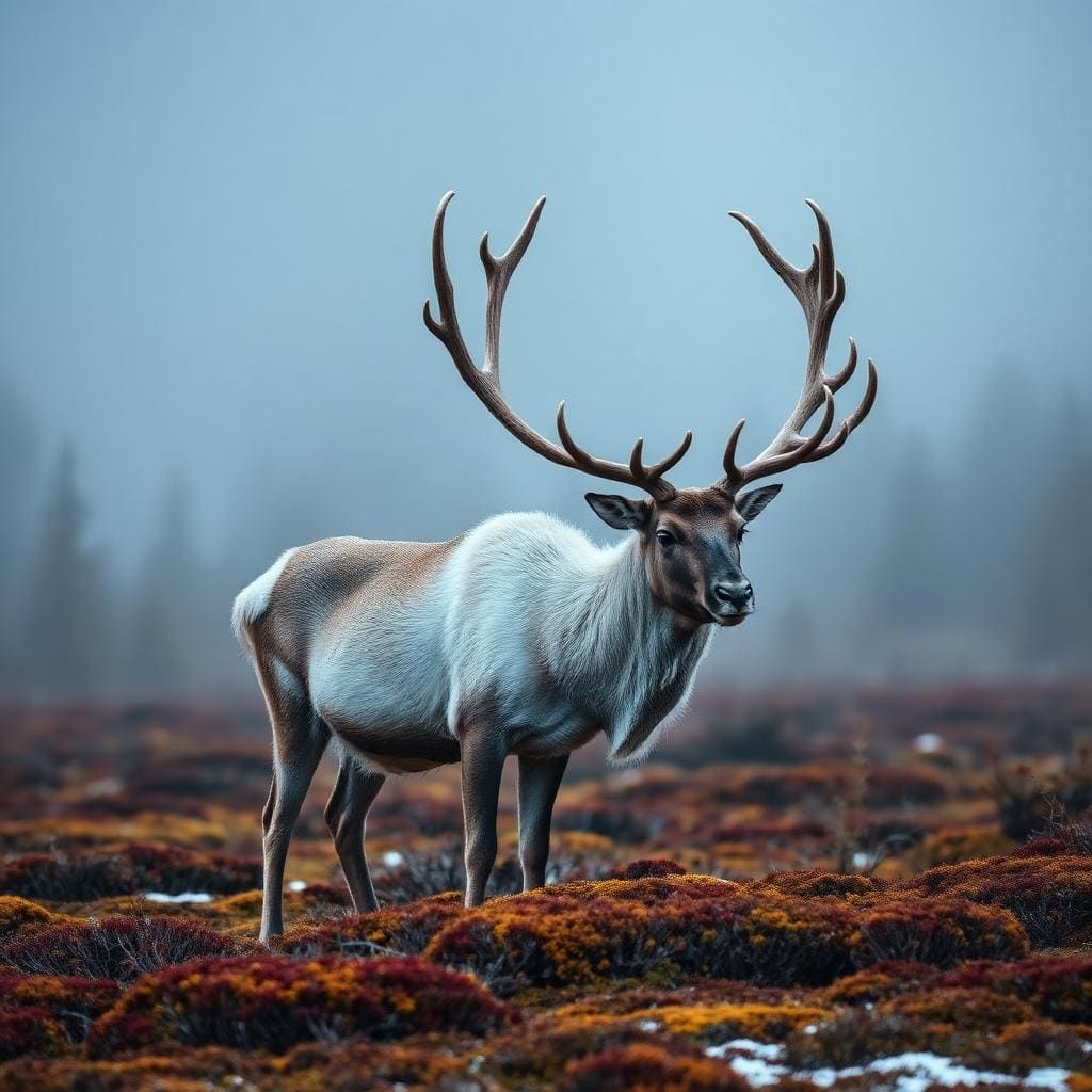 Wildlife guideWoodland caribouRangifer tarandus caribou
 Wildlife guideNorth American beaverCastor canadensis
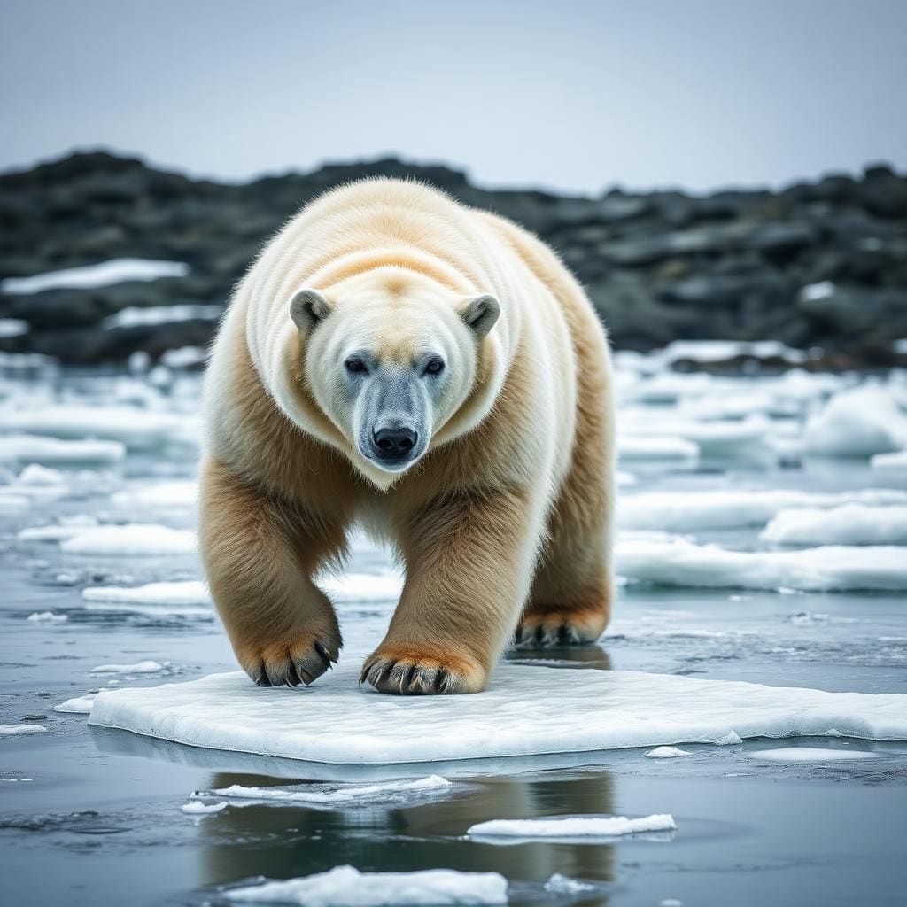 Wildlife guidePolar bearUrsus maritimus
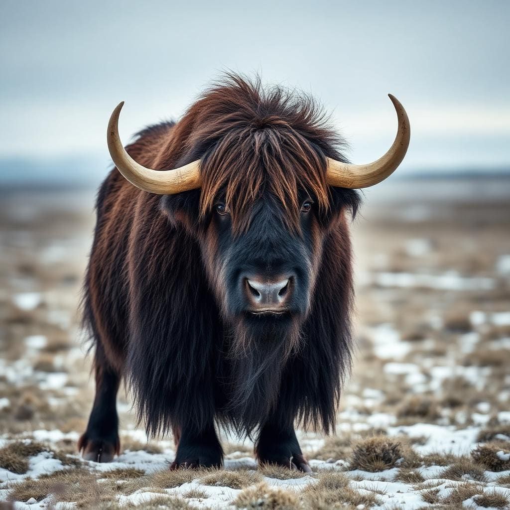 Wildlife guideMuskoxOvibos moschatus
 Wildlife guideMooseAlces alces
Maps, GPS & compass for this trip
Carry a waterproof paper map and a compass you can steer by, and treat the GPS as the backup — not the other way round. Buying links go to Amazon; Wild10 earns a commission at no cost to you.
Waterproof topo maps
- Waterproof topographic map — Yokanga River (Russia)Amazon search for waterproof, tear-resistant topo maps covering this area.
- National Geographic Trails IllustratedThe waterproof Trails Illustrated series — check for a sheet covering this area.
- Waterproof map case & compass lanyardKeep a paper map readable in rain, spray and a swamped boat.
Fishing at Yokanga River (Russia)
Planning to fish Yokanga River (Russia)? Fishing licences, open seasons and catch limits in Russia are set by the local wildlife authority and change every year — check the official source before you cast a line.
Do I need a fishing licence at Yokanga River (Russia)?
- A Russia fishing licence is normally required for anyone over the local youth age.
- Read the current Russia fishing regulations for special waters, barbless-hook or catch-and-release rules.
- Clean, drain and dry boats and gear between waters to stop invasive species.
We don't have a verified licensing link on file for Russia yet — contact the park or land manager listed on this page for current hunting and fishing rules.
Hunting near Yokanga River (Russia)
Thinking about hunting Yokanga River (Russia)? Hunting seasons, tags and draws in Russia are set by the wildlife authority each year. Confirm the rules for your species and unit before you go.
Is hunting allowed at Yokanga River (Russia)?
- Confirm the land around Yokanga River (Russia) is open to hunting and which management unit it falls in.
What do I need to hunt in Russia?
- A Russia hunting licence — most jurisdictions also require hunter education certification.
- Species tags or draw results for big game such as deer, elk, moose or bear where they occur.
- Knowledge of firearm and bow transport rules, which differ by land type and border crossing.
We don't have a verified licensing link on file for Russia yet — contact the park or land manager listed on this page for current hunting and fishing rules.
A northern Kola Peninsula river
The Yokanga, also written Iokanga, lies in the northern Kola Peninsula in Russia’s Murmansk Oblast. It begins at Lake Alozero and flows into the Barents Sea, running 203 km through a drainage basin of 6,020 square kilometres. Its largest tributary is the Sukhaya. Those geographical anchors help define the river, but they do not establish a visitor route between its source and mouth. The defining features for an outdoor trip are its strong current, huge boulders and numerous pools. This is a river to assess by individual stretches and actual access arrangements, rather than by its overall length. A map showing the whole drainage should be a starting point for questions, not a substitute for confirmed transport or a locally assessed itinerary.
Salmon water with demanding conditions
Atlantic salmon are the Yokanga’s main draw for visiting anglers, and exceptionally large specimens have been found here. Its fishing reputation sits alongside a clear physical challenge: strong current moves through water marked by huge boulders and numerous pools. Those features deserve more attention in trip planning than the prospect of a large fish. Before committing to a fishing stretch, establish how it will be reached, where fishing can be undertaken safely and what support will be available. Do not assume that a pool is safely wadeable or that a boulder offers secure footing. Match any plan to the conditions encountered and the group’s experience. The river’s reputation alone does not establish a suitable fishing season, current entry arrangements or permission to fish.
Ter Sami history and responsible planning
The Yokanga is also part of a lived cultural landscape. Its indigenous Sami inhabitants traditionally spoke Ter Sami. In the 1930s, Soviet authorities declared Yokanga, the largest Ter Sami village, “perspectiveless” and forced its inhabitants to move to the Gremikha military base. That history matters when considering the river as more than a fishing destination: its human story includes displacement as well as longstanding connections to the watershed. Gremikha’s role in that history should not be interpreted as a visitor access recommendation. For a present-day trip, keep cultural context separate from practical assumptions about transport and entry. Confirm current access and fishing requirements with the responsible authorities before making arrangements, and avoid treating historical accounts of foreign angling access as present-day authorization.
Route options
- Iokanga salmon-pool fishingChallenging river conditions, including strong current and huge boulders.
A fishing-focused itinerary would centre on the river’s Atlantic salmon pools. Specific pools, entry points and connections need to be established before travel; strong current and huge boulders make safe positioning an essential part of that assessment.
- Lake Alozero to the Barents Sea: watershed orientation
Use the source-to-mouth corridor to understand the river’s geography and place any proposed fishing stretch within the watershed. This is an orientation framework, not an established through-route or a recommendation to paddle the river.
Sample itineraries
- Yokanga River introduction · 2 days
A suggested short visit focused on the river's boulder-strewn setting and salmon pools. Use the first day to assess locally confirmed access and river conditions; reserve the second for bank-side observation or authorized fishing. This is not a mapped walking or boating route.
- Salmon-focused river stay · 3 days
A suggested stay for anglers, subject to confirmation of fishing permission and access. Begin with a local conditions briefing, then allow two days for fishing at suitable, authorized locations. Strong current and huge boulders make cautious site selection more important than covering distance.
Seasonal conditions
Spring
Confirm local spring conditions before choosing dates.
For this northern Kola Peninsula river, verify thaw, water temperature, and river levels before planning bank travel or fishing. Do not assume that seasonal warming makes the strong current manageable.
Summer
Confirm fishing access and suitable timing locally.
Plan around current weather and river conditions rather than assuming summer guarantees easy access. The river's strong current, huge boulders, and numerous pools remain central considerations.
Fall
Confirm local fall conditions before booking.
Check temperature, daylight, and river levels for the intended dates. Carry weather protection and leave room to change plans if conditions make movement beside the river unsafe.
Winter
Confirm winter access and conditions locally.
Treat cold-weather travel as a separate planning task. Verify snow and ice conditions; never assume frozen surfaces over a strong-current river are safe. Fishing availability also needs confirmation.
| Season | Window | Conditions |
|---|---|---|
| Spring | Confirm local spring conditions before choosing dates. | For this northern Kola Peninsula river, verify thaw, water temperature, and river levels before planning bank travel or fishing. Do not assume that seasonal warming makes the strong current manageable. |
| Summer | Confirm fishing access and suitable timing locally. | Plan around current weather and river conditions rather than assuming summer guarantees easy access. The river's strong current, huge boulders, and numerous pools remain central considerations. |
| Fall | Confirm local fall conditions before booking. | Check temperature, daylight, and river levels for the intended dates. Carry weather protection and leave room to change plans if conditions make movement beside the river unsafe. |
| Winter | Confirm winter access and conditions locally. | Treat cold-weather travel as a separate planning task. Verify snow and ice conditions; never assume frozen surfaces over a strong-current river are safe. Fishing availability also needs confirmation. |
Permits, fees & closures
Confirm current access requirements and fishing permissions with the managing agency before arranging travel.
Confirm current permits, fees, and closures with the managing agency before you go.
Hazards & regulations
- Strong current makes entering or crossing the river hazardous; do not judge safety from surface appearance alone.
- Huge boulders complicate footing and movement beside the water. Choose stable positions and avoid committing to difficult crossings.
- Numerous pools interrupt the river's course. Assess each location separately rather than assuming conditions match the previous stretch.
What to pack for Yokanga River (Russia)
- Waterproof outer layers
- Insulating layers appropriate to the forecast
- Dry storage for spare clothing
- Footwear with reliable grip on rock
- Personal flotation device for activities near or on the water
- First-aid kit
- Salmon tackle selected with local advice
- Eye protection
- Locally confirmed access and fishing information
Wildlife you may see
- Atlantic salmon inhabit the river, including notably large specimens.
Yokanga River (Russia) FAQ
- Where is the Yokanga River?
- The Yokanga, also called the Iokanga, is in the northern Kola Peninsula in Murmansk Oblast, Russia. It flows from Lake Alozero into the Barents Sea.
- How long is the river?
- The river is 203 km long, with a basin covering 6,020 km². Its largest tributary is the Sukhaya. These figures describe the river system, not a visitor route.
- What is the main outdoor draw?
- Atlantic salmon fishing is the river's best-known activity. Strong current, huge boulders, and numerous pools create a challenging setting; fishing plans should follow confirmed permissions and local conditions.
- Can foreign visitors fish here?
- Do not assume access is available for a particular trip. Confirm current foreign-visitor access and fishing requirements with the managing agency before committing to travel.
- Is this an easy river for beginners?
- The strong current and huge boulders make it a challenging river. Beginners should seek local guidance and avoid treating it as an easy wading or crossing destination.
- What cultural history matters here?
- The river's Indigenous Sami inhabitants traditionally spoke Ter Sami. In the 1930s, Soviet authorities declared the largest Ter Sami village, Yokanga, “perspectiveless” and forced its inhabitants to move to the Gremikha military base.