



- Region
- OR, USA
- Country
- United States
- Best for
- hiking
- Best season
- Spring, Summer
- Permits
- Confirm permit requirements and current re…
- Managed by
- Bureau of Land Management, Prineville District, and U.S. Forest Service, Mount Hood National Forest. BLM Prineville District: 541-416-6700; BLM_OR_PR_Mail@blm.gov.
Plan with verified data
Lower White River Wilderness trip tools
Tools for a trip here
Picked for how, when and where you're going. Free, no signup.
Photos of Lower White River Wilderness
How to get there
From Dufur, follow US-197 south to OR-216 west. Continue past the forest boundary and through a small section of the Warm Springs Indian Reservation to Forest Road 2120. Follow Forest Road 2120 north to Keeps Mill Campground, along the White River just west of the wilderness boundary. Confirm current road and access conditions with the BLM’s Prineville District or Mount Hood National Forest.
- Keeps Mill Campground
The named staging location along the Wild and Scenic White River, just west of Lower White River Wilderness. Reached by Forest Road 2120; no maintained trails continue through the wilderness.
- Forest Road 2120
The road approach from OR-216 to Keeps Mill Campground. This is the access corridor to the campground, not a separate confirmed wilderness trailhead.
Sources: blm.gov · University of Montana / federal agency partners · Wilderness Connect / federal wilderness boundary inventory · Wikipedia. Confirm road and trailhead conditions with the managing agency before you leave.
OR, USA · United States
- Fishing
- Mountaineering
- Desert Hiking
- Canyoneering
- Surfing
- Hiking
- Wildlife Viewing
- Backpacking
A rugged gorge below Mount Hood
Lower White River Wilderness protects a lower segment of the White River southeast of Mount Hood Wilderness and east of Highway 26. The river begins below White River Glacier on Mount Hood and eventually joins the Deschutes River; this wilderness lies approximately midway between its source and mouth. Its defining feature is a deep, rugged gorge in the transition from mixed conifer forest to arid steppe. North-facing slopes retain firs and pines, while south-facing slopes become dominated by junipers and oaks. That contrast gives the area a different character from the upper mountain wilderness. Congress designated Lower White River Wilderness in 2009, and the Bureau of Land Management and U.S. Forest Service share management. Plan around the gorge’s terrain rather than expecting a developed trail network.
Cross-country travel, not maintained trails
There are no maintained trails within Lower White River Wilderness. Hiking here means very rugged cross-country travel, with route selection and navigation central to the outing. Keeps Mill Campground, along the White River just west of the wilderness boundary, is the named approach location, not evidence of a maintained route through the gorge. Carry a map, compass, and the ten essentials, and choose an objective that leaves room to turn back when terrain exceeds the group’s abilities. A short outing with a conservative turnaround can be more appropriate than an ambitious traverse. The ruggedness offers opportunities for solitude, but it also makes preparation important. Confirm current access and conditions with the BLM’s Prineville District or Mount Hood National Forest before setting out.
River character and low-impact travel
The White River’s milky appearance comes from glacial silt released as White River Glacier melts in late summer. The river also supports a genetically distinct White River race of redband rainbow trout. These features make the river more than a backdrop to a hike: its connection to Mount Hood and its aquatic habitat are central to the place. Prepare for the weather and terrain, and do not treat river water as ready to drink. Travel and camp on durable surfaces, pack out waste, leave natural objects in place, respect wildlife, and minimize campfire impacts. Motorized equipment and mechanical transport, including bicycles, are generally prohibited in designated wilderness. Keep vehicle travel outside the wilderness boundary and confirm applicable regulations with the managing agencies.
Where on earth
Satellite imagery flying in from a world view to Lower White River Wilderness, United States. Use the + / − buttons, or click the map to zoom with your scroll wheel; drag to pan and pinch to zoom on touch.
Coordinates
- Decimal degrees
- 45.1451, -121.4791
- Latitude (DMS)
- 45° 8′ 42.4″ N
- Longitude (DMS)
- 121° 28′ 44.9″ W
Coordinates are an access-point reference for Lower White River Wilderness, not a route. Carry a paper map and confirm trailhead or put-in access with the managing agency before you go.
Topic summary
The White River originates on Mt. Hood, at the leading edge of the White River Glacier. As the glacier melts in late summer, it releases large amounts of silt which gives the river the milky appearance...
Key takeaways
- Region: OR, USA
- Country: United States
- Good for: hiking
- Coordinates: 45.145, -121.479
Intended uses
hiking
Keep planning
Popular pursuits at Lower White River Wilderness
- Fishing
Resident gamefish, seasons, and the water that holds them.
- Mountaineering
Glacier and high-route objectives with real consequence.
- Desert Hiking
Water carries and heat management drive the plan.
- Canyoneering
Narrows, downclimbs, and flash-flood timing.
- Surfing
Swell windows and access from camp.
- Hiking
Day miles on marked trail, with route notes and trail links below.
Animals around Lower White River Wilderness

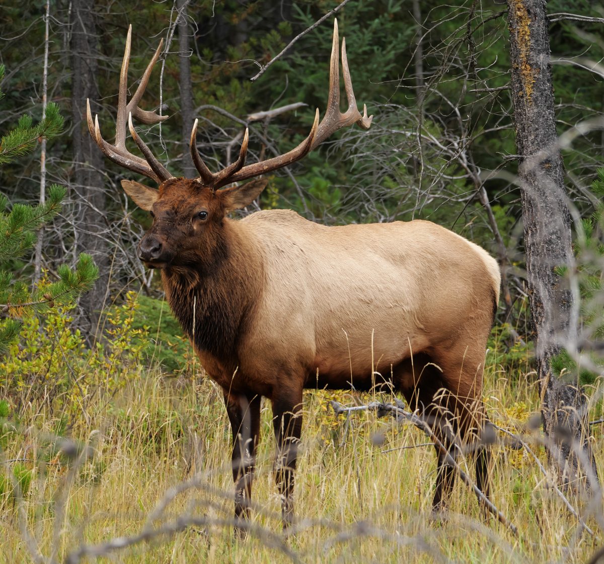

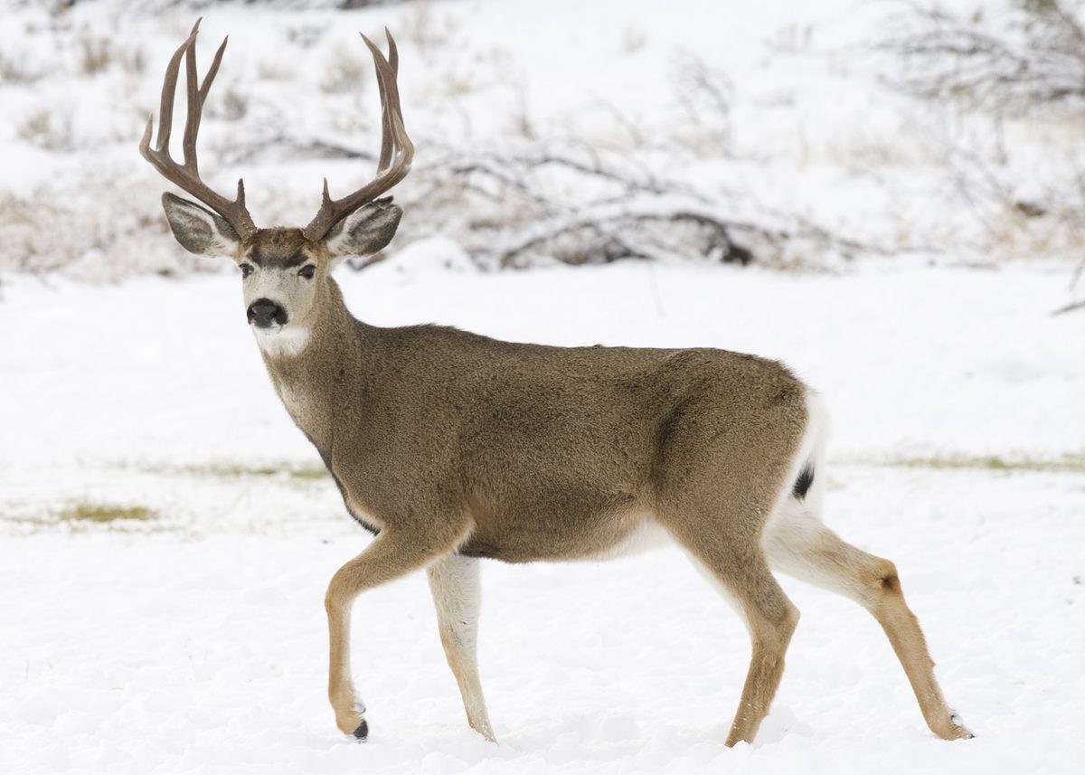
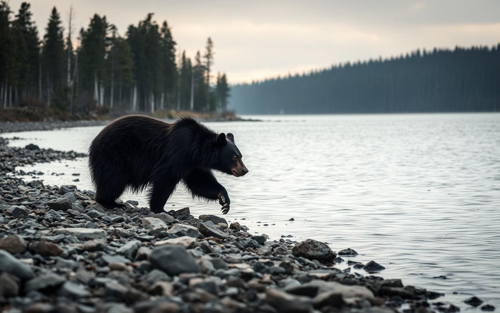
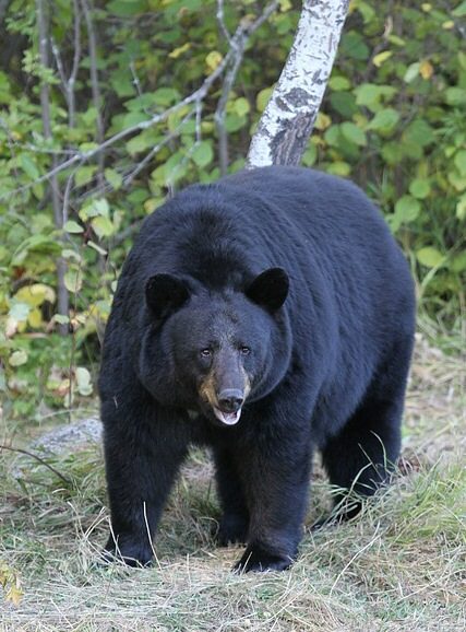
A rugged gorge below Mount Hood
Lower White River Wilderness protects a lower segment of the White River southeast of Mount Hood Wilderness and east of Highway 26. The river begins below White River Glacier on Mount Hood and eventually joins the Deschutes River; this wilderness lies approximately midway between its source and mouth. Its defining feature is a deep, rugged gorge in the transition from mixed conifer forest to arid steppe. North-facing slopes retain firs and pines, while south-facing slopes become dominated by junipers and oaks. That contrast gives the area a different character from the upper mountain wilderness. Congress designated Lower White River Wilderness in 2009, and the Bureau of Land Management and U.S. Forest Service share management. Plan around the gorge’s terrain rather than expecting a developed trail network.
Cross-country travel, not maintained trails
There are no maintained trails within Lower White River Wilderness. Hiking here means very rugged cross-country travel, with route selection and navigation central to the outing. Keeps Mill Campground, along the White River just west of the wilderness boundary, is the named approach location, not evidence of a maintained route through the gorge. Carry a map, compass, and the ten essentials, and choose an objective that leaves room to turn back when terrain exceeds the group’s abilities. A short outing with a conservative turnaround can be more appropriate than an ambitious traverse. The ruggedness offers opportunities for solitude, but it also makes preparation important. Confirm current access and conditions with the BLM’s Prineville District or Mount Hood National Forest before setting out.
River character and low-impact travel
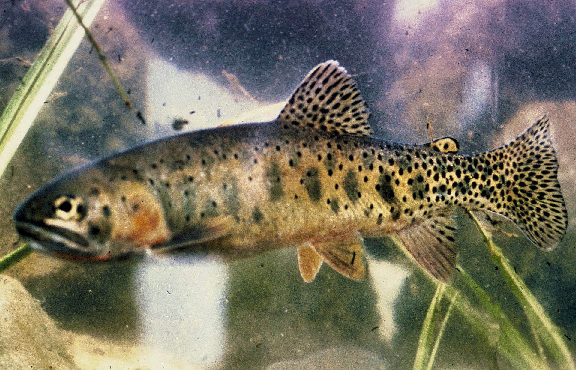
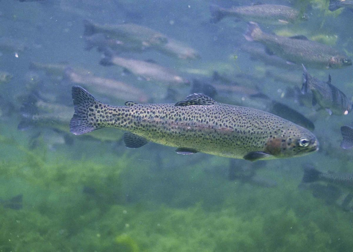
The White River’s milky appearance comes from glacial silt released as White River Glacier melts in late summer. The river also supports a genetically distinct White River race of redband rainbow trout. These features make the river more than a backdrop to a hike: its connection to Mount Hood and its aquatic habitat are central to the place. Prepare for the weather and terrain, and do not treat river water as ready to drink. Travel and camp on durable surfaces, pack out waste, leave natural objects in place, respect wildlife, and minimize campfire impacts. Motorized equipment and mechanical transport, including bicycles, are generally prohibited in designated wilderness. Keep vehicle travel outside the wilderness boundary and confirm applicable regulations with the managing agencies.
Route options
- Keeps Mill Campground staging outing
Use the campground beside the White River as a conservative destination for orientation before considering wilderness travel. It sits outside the western wilderness boundary; this option is not a named or measured wilderness hiking route.
- Lower White River Wilderness cross-country explorationVery rugged cross-country hiking
Plan a self-directed outing in the rugged gorge rather than following an established trail itinerary. There are no maintained trails within the wilderness. Confirm a suitable entry with the managing agencies, carry navigation tools, and set the turnaround according to terrain and group ability.
Sample itineraries
- Keeps Mill Orientation and Day Hike · 1 day
Use Keeps Mill Campground, just west of the wilderness, as an orientation point after confirming access. For experienced cross-country hikers, plan a conservative outing into the wilderness using agency maps. There are no maintained trails; choose a turnaround based on terrain and navigation confidence.
- Keeps Mill Basecamp and Wilderness Exploration · 2 days
Confirm camping arrangements at Keeps Mill Campground before planning an overnight base. Spend the first day checking access and studying the wilderness boundary. On the second, undertake a cross-country day hike suited to the group's skills, observing the gorge's transition from conifer forest toward arid steppe.
Seasonal conditions
Spring
Spring
Confirm current weather, terrain conditions, and road access before departure. Plan around rugged cross-country travel rather than maintained trails; do not assume a mapped approach will be straightforward on the ground.
Summer
Summer; glacial silt is noted in late summer
Late-summer melting of White River Glacier releases silt that gives the river its milky appearance. The wilderness spans mixed conifer forest and arid steppe; carry drinking water and sun protection for travel through more open terrain.
Fall
Fall
Check current weather and access with the managing agencies. Carry layers and allow ample time for navigation through the rugged gorge; the absence of maintained trails makes conservative turnaround decisions important.
Winter
Winter
Confirm road access and weather before committing to a visit. Pack insulation and emergency shelter appropriate to the forecast. Do not assume access to Keeps Mill Campground or cross-country travel conditions will suit the planned outing.
| Season | Window | Conditions |
|---|---|---|
| Spring | Spring | Confirm current weather, terrain conditions, and road access before departure. Plan around rugged cross-country travel rather than maintained trails; do not assume a mapped approach will be straightforward on the ground. |
| Summer | Summer; glacial silt is noted in late summer | Late-summer melting of White River Glacier releases silt that gives the river its milky appearance. The wilderness spans mixed conifer forest and arid steppe; carry drinking water and sun protection for travel through more open terrain. |
| Fall | Fall | Check current weather and access with the managing agencies. Carry layers and allow ample time for navigation through the rugged gorge; the absence of maintained trails makes conservative turnaround decisions important. |
| Winter | Winter | Confirm road access and weather before committing to a visit. Pack insulation and emergency shelter appropriate to the forecast. Do not assume access to Keeps Mill Campground or cross-country travel conditions will suit the planned outing. |
Permits, fees & closures
Confirm permit requirements and current regulations with the BLM Prineville District or Mount Hood National Forest.
Fees: No fees for Lower White River Wilderness.
Official source: Lower White River Wilderness - Oregon · Verified November 1, 2026
Hazards & regulations
- There are no maintained trails within the wilderness. Cross-country navigation requires a map, compass, and the ability to use them.
- The deep, rugged gorge makes hiking demanding. Choose terrain within the group's ability and turn back before route-finding becomes uncertain.
- Trail junctions are generally unsigned; do not rely on signs to identify a route or the wilderness boundary.
- Weather and terrain conditions require advance planning. Confirm current access with the managing agencies before departure.
What to pack for Lower White River Wilderness
- Wilderness boundary map
- Rock Creek Reservoir and Post Point topographic maps
- Compass
- Drinking water and extra food
- Sun protection
- Weather-appropriate layers
- Headlamp
- First-aid kit
- Emergency shelter
- Repair kit and emergency fire-starting supplies
- Sturdy hiking footwear
- Backpack suitable for rugged terrain
- Waste bags
- Overnight equipment if camping arrangements are confirmed
Lower White River Wilderness FAQ
- Where is Lower White River Wilderness?
- It is in Oregon, southeast of Mount Hood Wilderness and east of Highway 26. It protects a lower segment of the White River, approximately midway between the river's glacier-fed source and its confluence with the Deschutes River.
- How do you reach Keeps Mill Campground?
- From Dufur, follow US-197 south to OR-216 west. Continue past the forest boundary and through a small section of the Warm Springs Indian Reservation to Forest Road 2120. Follow 2120 north to Keeps Mill Campground, just west of the wilderness. Confirm current access before traveling.
- Are there maintained hiking trails?
- No maintained trails exist within Lower White River Wilderness. Hiking here is rugged cross-country travel, not a signed trail outing. Carry maps and a compass, and choose an outing that matches the group's navigation skills.
- What does the landscape look like?
- A deep, rugged gorge anchors a transition from mixed conifer forest to arid steppe. North-facing slopes retain firs and pines, while south-facing slopes become dominated by junipers and oaks.
- Are bicycles or motorized vehicles allowed?
- Motorized equipment and mechanical transport, including bicycles, are generally prohibited in federally designated wilderness. Contact the managing agencies about any specific exceptions. Keeps Mill Campground is outside the wilderness boundary.
- Who manages the wilderness and provides access updates?
- The Bureau of Land Management and U.S. Forest Service manage the wilderness. Contact the BLM Prineville District at 541-416-6700 or BLM_OR_PR_Mail@blm.gov, or contact Mount Hood National Forest, for current conditions and access information.