



- Region
- ID, USA
- Country
- United States
- Best for
- hiking
- Best season
- Spring, Summer
- Permits
- Confirm current permit requirements for yo…
- Managed by
- Bureau of Land Management, Bruneau Field Office
Plan with verified data
North Fork Owyhee Wilderness trip tools
Tools for a trip here
Picked for how, when and where you're going. Free, no signup.
Photos of North Fork Owyhee Wilderness
How to get there
From Jordan Valley, Oregon, travel 27 miles on Mud Flat Road, also known as the Owyhee Uplands Backcountry Byway, to the North Fork Owyhee River campground. Confirm current road and access conditions with the BLM Bruneau Field Office before setting out.
- North Fork Owyhee River campground
The arrival point identified for access from Jordan Valley via Mud Flat Road. Plan wilderness travel separately; there are no designated trails within the wilderness.
- Mud Flat Road / Owyhee Uplands Backcountry Byway
The approach road linking Jordan Valley with the North Fork Owyhee River campground. This is an access corridor, not a separate designated wilderness trailhead.
Sources: blm.gov · University of Montana / federal agency partners · Wilderness Connect / federal wilderness boundary inventory · Wikipedia. Confirm road and trailhead conditions with the managing agency before you leave.
ID, USA · United States
- Rafting
- Hunting
- Winter Camping
- Skiing
- Desert Hiking
- Canyoneering
- Hiking
- Wildlife Viewing
High plateaus and deep river canyons
North Fork Owyhee Wilderness occupies high basalt plateaus in Owyhee County, southwestern Idaho, near the Oregon border. The Bureau of Land Management manages more than 43,000 acres here, with terrain ranging from broad sagebrush and grassland uplands to river canyons more than 1,000 feet deep. Elevations run from about 4,800 to 6,800 feet. This is part of the larger Owyhee Canyonlands, a remote high-desert region extending into Oregon and Nevada. The contrast between open plateau and confined canyon is central to planning a visit: a destination that looks close across the uplands may require careful terrain assessment to reach. Allow time for navigation, carry a detailed wilderness map, and choose objectives based on the terrain rather than straight-line proximity.
Travel without designated trails
There are no designated trails in North Fork Owyhee Wilderness. Hiking here means planning your own travel through the landscape rather than following a signed trail network. Camping, horseback riding, fishing, hunting, wildlife viewing, and photography are also activities associated with the wilderness. For a walking trip, choose a conservative objective and leave enough time to retrace your route if canyon terrain blocks progress. River travel requires a separate assessment: whitewater within the wilderness reaches Class IV, so the presence of quiet pools should not be taken as evidence of an easy float. The upper 20.8 miles of the North Fork Owyhee River, between the Idaho–Oregon border and the upstream wilderness boundary, belong to the National Wild and Scenic Rivers System. That designation describes a protected river segment, not a ready-made boating itinerary.
Weather, wildlife, and preparation
The high-desert setting calls for preparation for both cool conditions and exposed travel. Typical summer temperatures range from 40 to 80 degrees Fahrenheit; spring and fall temperatures range from 25 to 60 degrees, while winter averages range from 15 to 35 degrees. Pack layers, sun protection, and enough water for the intended outing without assuming that every drainage will provide a usable supply. Sage grouse, pronghorn antelope, bighorn sheep, songbirds, and raptors inhabit this mix of grassland, sagebrush, and canyon country, along with numerous rare plants. Watch wildlife from a distance and avoid trampling vegetation when choosing rest stops. Before departure, check weather, current advisories, access conditions, and applicable requirements with the BLM Bruneau Field Office. Remote terrain and the absence of designated trails make conservative planning especially useful here.
Where on earth
Satellite imagery flying in from a world view to North Fork Owyhee Wilderness, United States. Use the + / − buttons, or click the map to zoom with your scroll wheel; drag to pan and pinch to zoom on touch.
Coordinates
- Decimal degrees
- 42.6173, -116.7848
- Latitude (DMS)
- 42° 37′ 2.1″ N
- Longitude (DMS)
- 116° 47′ 5.2″ W
Coordinates are an access-point reference for North Fork Owyhee Wilderness, not a route. Carry a paper map and confirm trailhead or put-in access with the managing agency before you go.
Topic summary
The landscape within the North Fork Owyhee Wilderness, in the southwest part of Idaho near the Oregon border, is diverse, ranging from river canyons over a thousand feet deep to vast expanses of sagebrush...
Key takeaways
- Region: ID, USA
- Country: United States
- Good for: hiking
- Coordinates: 42.617, -116.785
Intended uses
hiking
Keep planning
Popular pursuits at North Fork Owyhee Wilderness
- Rafting
Whitewater sections and the flows that make them run.
- Hunting
Seasons, tags, and the units that hold animals.
- Winter Camping
Cold-season travel and camp craft; layering matters more than mileage.
- Skiing
Ski-touring access when the road closes for the season.
- Desert Hiking
Water carries and heat management drive the plan.
- Canyoneering
Narrows, downclimbs, and flash-flood timing.
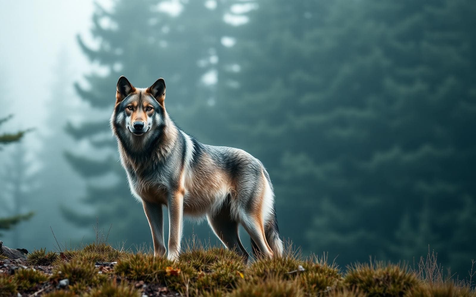
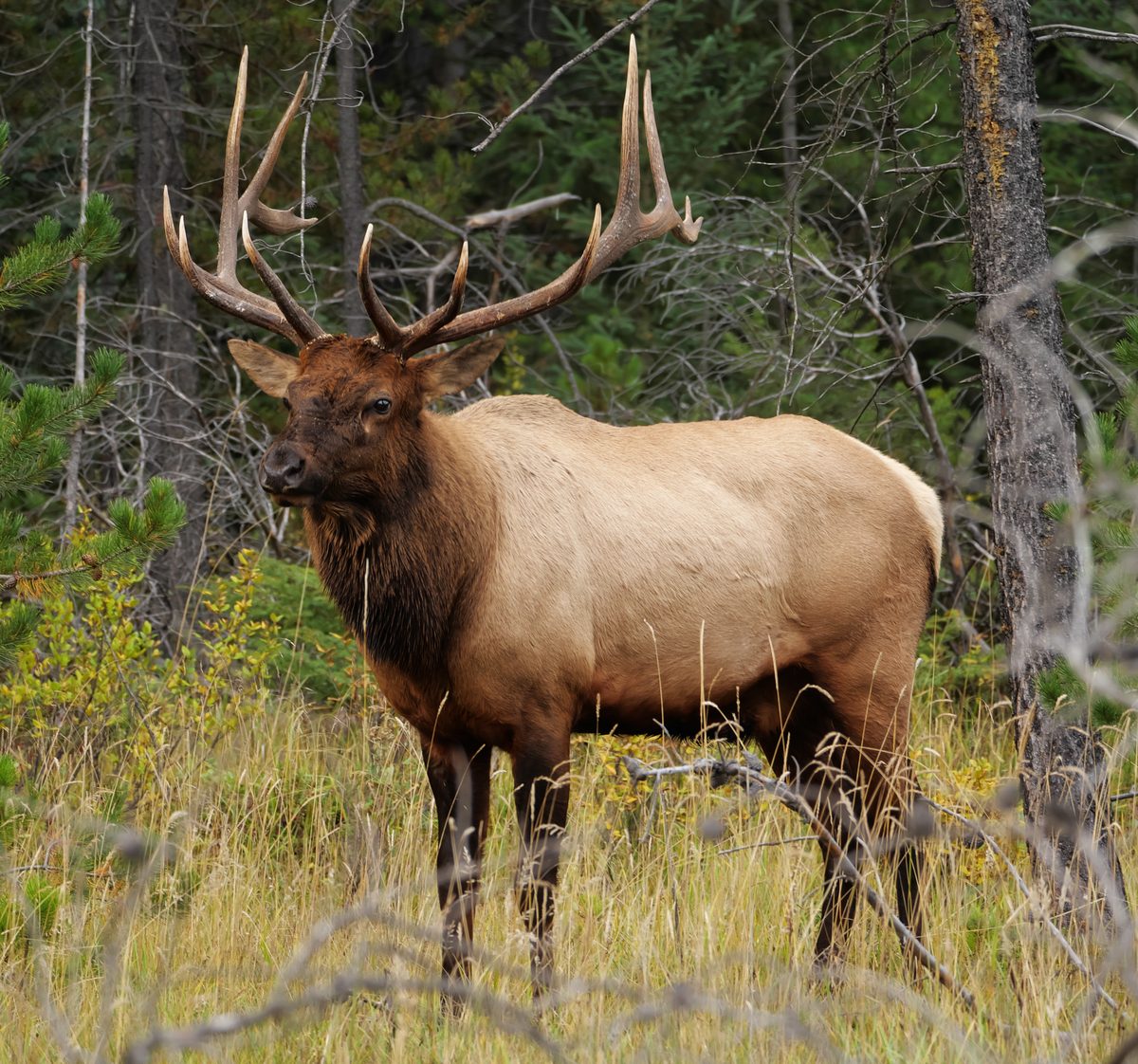
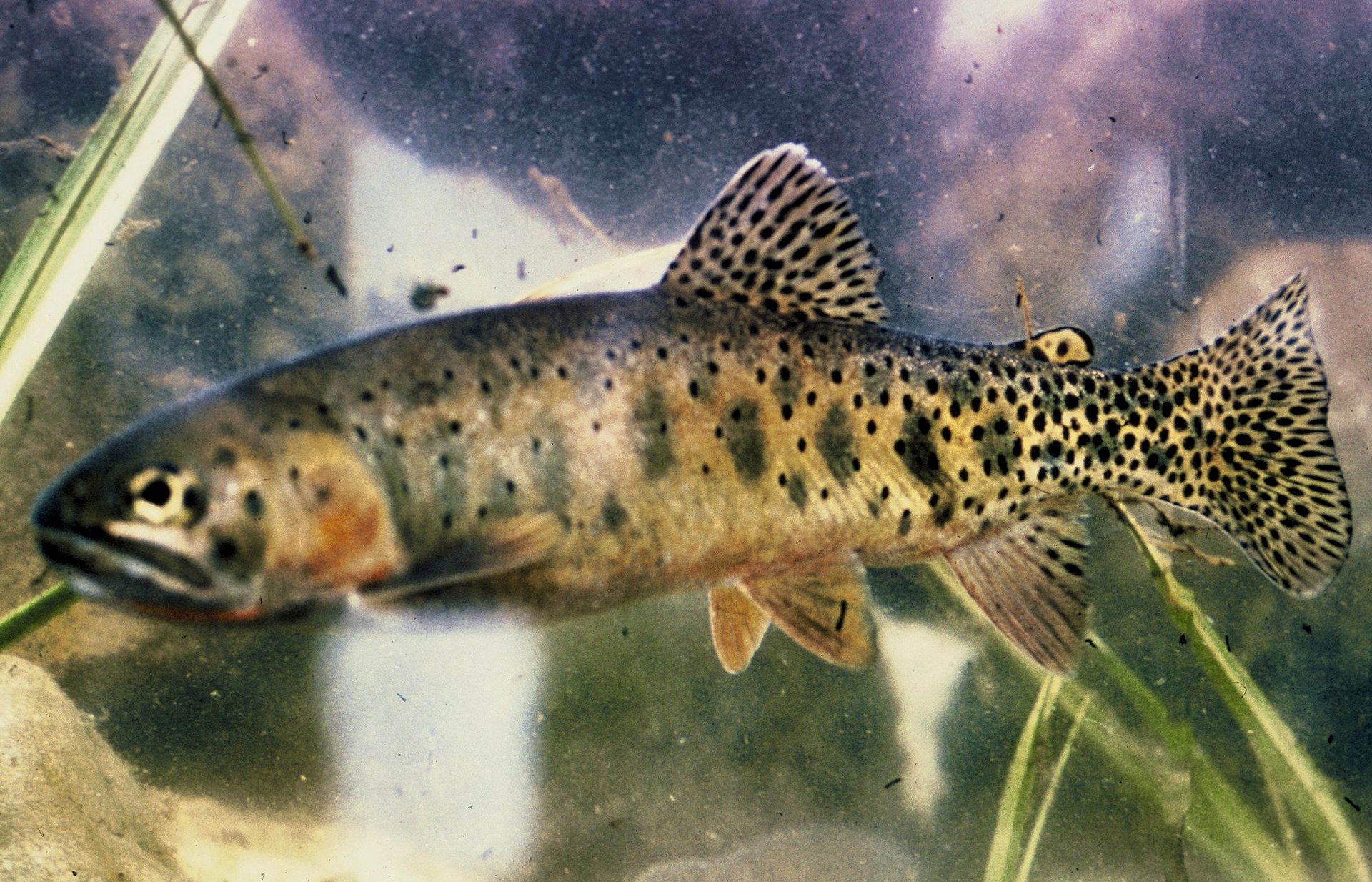
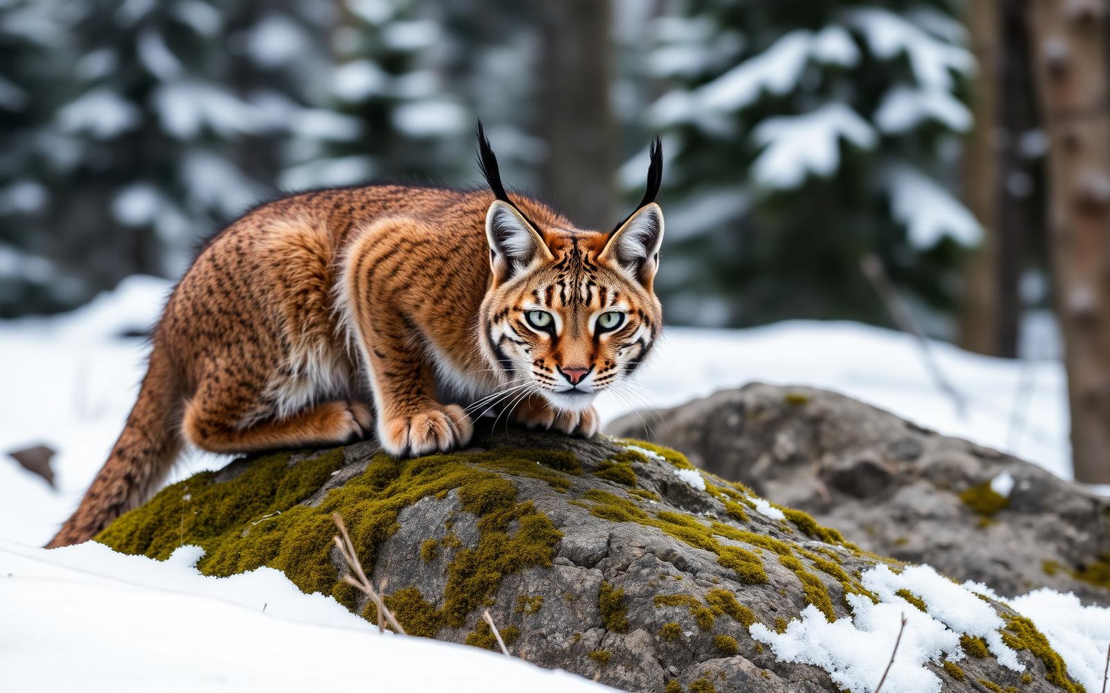
Animals around North Fork Owyhee Wilderness
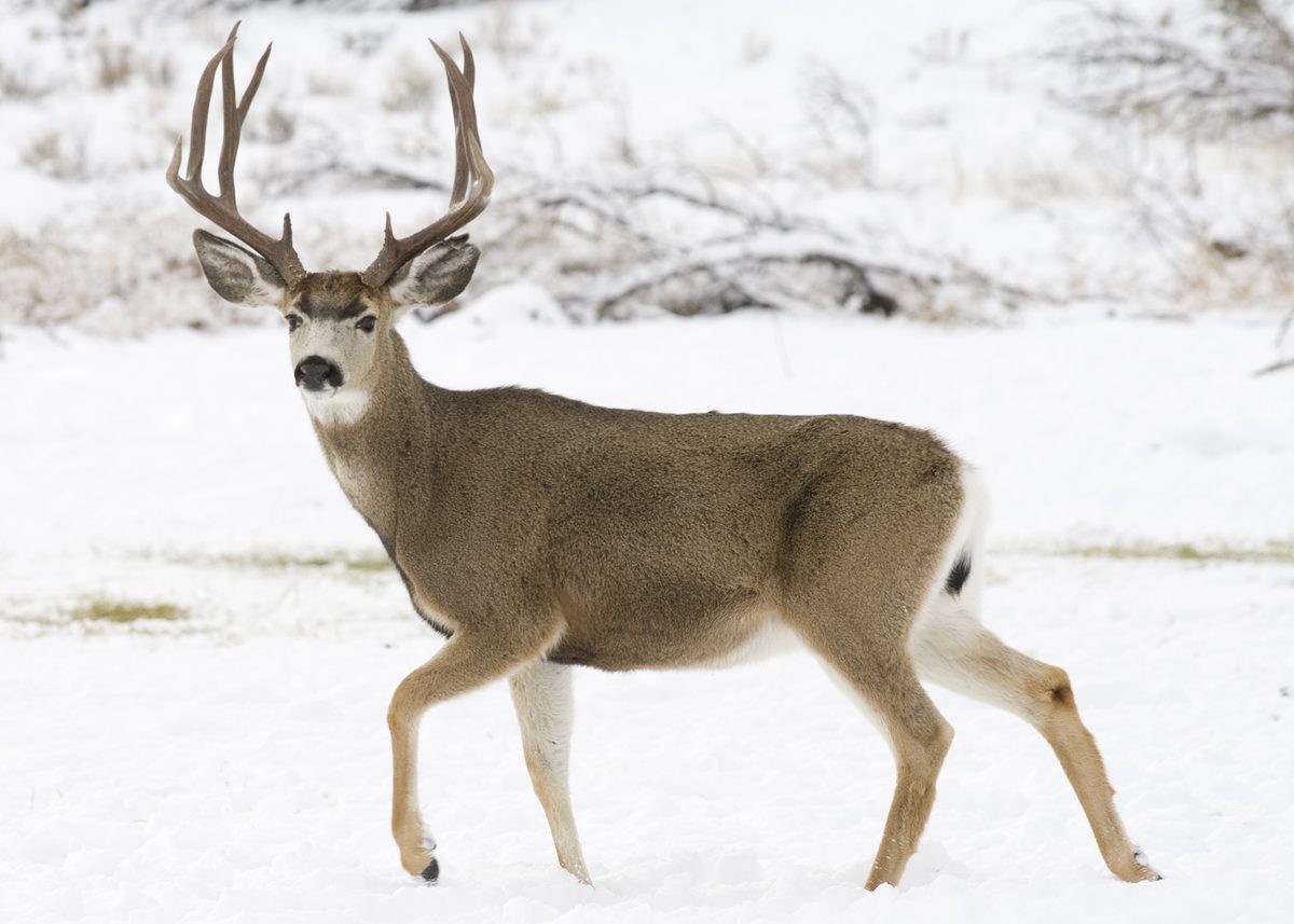
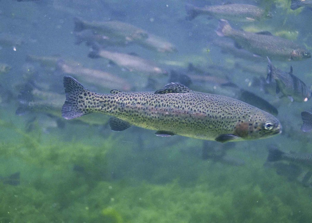

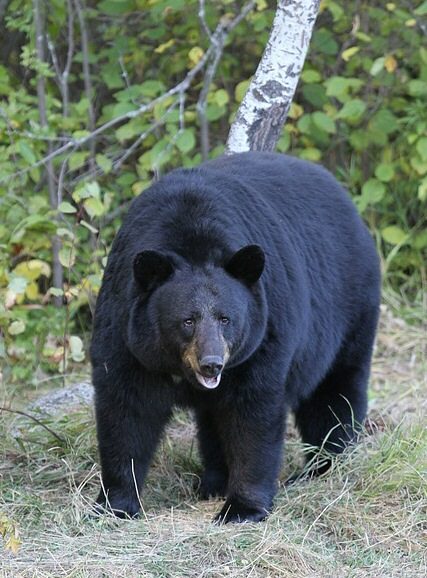
High plateaus and deep river canyons
North Fork Owyhee Wilderness occupies high basalt plateaus in Owyhee County, southwestern Idaho, near the Oregon border. The Bureau of Land Management manages more than 43,000 acres here, with terrain ranging from broad sagebrush and grassland uplands to river canyons more than 1,000 feet deep. Elevations run from about 4,800 to 6,800 feet. This is part of the larger Owyhee Canyonlands, a remote high-desert region extending into Oregon and Nevada. The contrast between open plateau and confined canyon is central to planning a visit: a destination that looks close across the uplands may require careful terrain assessment to reach. Allow time for navigation, carry a detailed wilderness map, and choose objectives based on the terrain rather than straight-line proximity.
Travel without designated trails
There are no designated trails in North Fork Owyhee Wilderness. Hiking here means planning your own travel through the landscape rather than following a signed trail network. Camping, horseback riding, fishing, hunting, wildlife viewing, and photography are also activities associated with the wilderness. For a walking trip, choose a conservative objective and leave enough time to retrace your route if canyon terrain blocks progress. River travel requires a separate assessment: whitewater within the wilderness reaches Class IV, so the presence of quiet pools should not be taken as evidence of an easy float. The upper 20.8 miles of the North Fork Owyhee River, between the Idaho–Oregon border and the upstream wilderness boundary, belong to the National Wild and Scenic Rivers System. That designation describes a protected river segment, not a ready-made boating itinerary.
Weather, wildlife, and preparation
The high-desert setting calls for preparation for both cool conditions and exposed travel. Typical summer temperatures range from 40 to 80 degrees Fahrenheit; spring and fall temperatures range from 25 to 60 degrees, while winter averages range from 15 to 35 degrees. Pack layers, sun protection, and enough water for the intended outing without assuming that every drainage will provide a usable supply. Sage grouse, pronghorn antelope, bighorn sheep, songbirds, and raptors inhabit this mix of grassland, sagebrush, and canyon country, along with numerous rare plants. Watch wildlife from a distance and avoid trampling vegetation when choosing rest stops. Before departure, check weather, current advisories, access conditions, and applicable requirements with the BLM Bruneau Field Office. Remote terrain and the absence of designated trails make conservative planning especially useful here.
Route options
- North Fork Owyhee Wilderness plateau explorationOff-trail navigation required
Plan a self-directed hike through the sagebrush and grassland plateau terrain. No designated trail or fixed itinerary is established here; use a detailed map to select an objective and assess terrain before committing to canyon descents.
- North Fork Owyhee River travelWhitewater within the wilderness reaches Class IV
Consider river travel only after confirming suitable access, river conditions, and requirements with BLM. The protected upper river segment is not a specified launch-to-takeout route. Consult the Bruneau-Jarbidge-Owyhee Rivers Boating Guide when assessing an itinerary.
Sample itineraries
- North Fork Orientation Day · 1 day
Approach the North Fork Owyhee River campground from Jordan Valley via Mud Flat Road. Plan a short hiking and photography outing suited to navigation skills. There are no designated wilderness trails; use a wilderness map and avoid committing to canyon descents without a verified return route.
- Two-Day Camp and Explore · 2 days
Use the North Fork Owyhee River campground as a proposed base, confirming current camping arrangements with BLM. Spend one day exploring the sagebrush-and-grassland landscape and another photographing canyon terrain or watching wildlife. Choose outings using the wilderness map rather than expecting marked trails.
Seasonal conditions
Spring
Spring; confirm conditions before departure
Typical temperatures range from 25 to 60°F. Prepare for freezing conditions and changing weather across plateaus and canyons. Check road conditions and river flows separately before planning access or boating.
Summer
Summer; plan around daily temperatures
Typical temperatures range from 40 to 80°F. The high-desert landscape calls for sun protection, adequate drinking water and layers for cool periods. Do not assume river conditions suit a particular boating trip.
Fall
Fall; confirm conditions before departure
Typical temperatures range from 25 to 60°F. Carry insulation for freezing conditions and allow conservative turnaround times for off-trail travel. Check the forecast before committing to an overnight outing.
Winter
Winter; assess weather and access before travel
Average temperatures range from 15 to 35°F. Cold-weather preparation is essential, especially for overnight trips. Confirm road conditions with BLM rather than assuming the campground approach remains suitable.
| Season | Window | Conditions |
|---|---|---|
| Spring | Spring; confirm conditions before departure | Typical temperatures range from 25 to 60°F. Prepare for freezing conditions and changing weather across plateaus and canyons. Check road conditions and river flows separately before planning access or boating. |
| Summer | Summer; plan around daily temperatures | Typical temperatures range from 40 to 80°F. The high-desert landscape calls for sun protection, adequate drinking water and layers for cool periods. Do not assume river conditions suit a particular boating trip. |
| Fall | Fall; confirm conditions before departure | Typical temperatures range from 25 to 60°F. Carry insulation for freezing conditions and allow conservative turnaround times for off-trail travel. Check the forecast before committing to an overnight outing. |
| Winter | Winter; assess weather and access before travel | Average temperatures range from 15 to 35°F. Cold-weather preparation is essential, especially for overnight trips. Confirm road conditions with BLM rather than assuming the campground approach remains suitable. |
Permits, fees & closures
Confirm current permit requirements for your planned activities with the BLM Bruneau Field Office at 208-384-3300.
Official source: North Fork Owyhee Wilderness Area - Idaho - Bureau of Land Management · Verified November 2, 2026
Hazards & regulations
- There are no designated wilderness trails. Off-trail navigation requires a map, route judgment and a clear return plan.
- Canyons can exceed 1,000 feet deep, with vertical cliffs and steep grassy slopes. Avoid exposed edges and unverified descents.
- River rapids reach Class IV. Match any boating plan to skills, equipment and current flows; quiet pools do not indicate an easy river.
- The Owyhee Canyonlands are remote. Leave a trip plan and carry supplies and communication equipment for unexpected delays.
- Freezing temperatures occur within typical spring and fall ranges, and winters are cold. Carry insulation appropriate to the forecast.
- High-desert travel requires deliberate water planning and sun protection. Carry adequate drinking water rather than relying on an unverified source.
What to pack for North Fork Owyhee Wilderness
- North Fork Owyhee Wilderness map
- Compass and offline navigation
- Satellite communicator
- First-aid kit and emergency shelter
- Headlamp and spare power
- Drinking water and extra carrying capacity
- Sun hat, sunglasses and sunscreen
- Insulating layers
- Windproof and waterproof outer layer
- Sturdy footwear for uneven terrain
- Shelter and sleep system suited to forecast temperatures
- Food and extra provisions
- Binoculars
- Camera
- Waste bags for packing out litter
North Fork Owyhee Wilderness FAQ
- Where is the wilderness, and how do you approach it?
- It lies in southwestern Idaho near the Oregon border, about 80 miles southwest of Boise. From Jordan Valley, Oregon, travel 27 miles on Mud Flat Road, also called the Owyhee Uplands Backcountry Byway, to the North Fork Owyhee River campground.
- Are there marked hiking trails?
- There are no designated trails in the wilderness. Plan hiking around off-trail navigation skills, terrain and a reliable return route. The campground approach is not a designated wilderness hiking route.
- What does the landscape look like?
- Sagebrush and grassland plateaus are cut by deep volcanic rhyolite and basalt canyons. Elevations range from about 4,800 to 6,800 feet, and some canyons exceed 1,000 feet deep.
- Is this a beginner whitewater destination?
- Do not assume so. Rivers within the wilderness have rapids up to Class IV. Consult BLM's Bruneau-Jarbidge-Owyhee Rivers Boating Guide and confirm flows, access and the demands of your intended section before planning a trip.
- What activities can visitors plan?
- Activities include hiking, camping, horseback riding, fishing, hunting, wildlife viewing and photography. Confirm activity-specific requirements with the managing agency before departure.
- Can bicycles or motorized vehicles enter the wilderness?
- Motorized equipment and mechanical transport, including bicycles, are generally prohibited in wilderness. Check BLM travel-management maps to distinguish approach roads from the wilderness boundary.